Roll's Copse
Wood, Forest in Hampshire Winchester
England
Roll's Copse
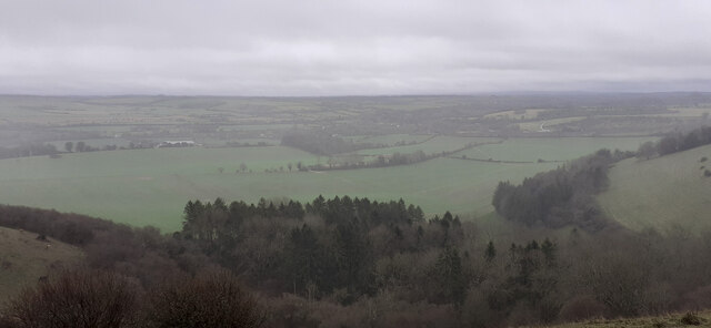
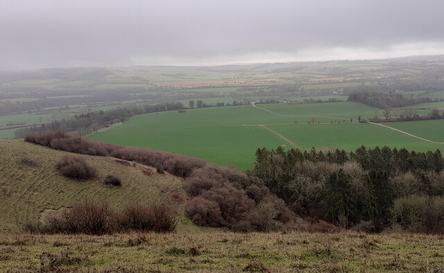
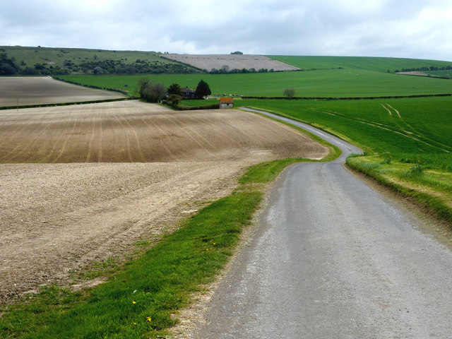
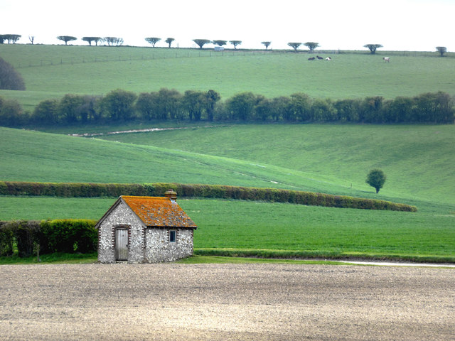
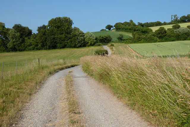
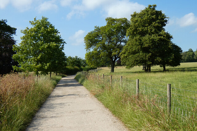
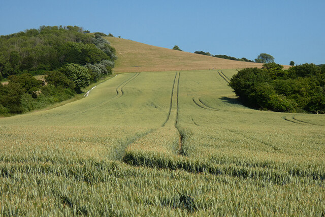
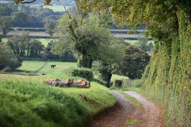
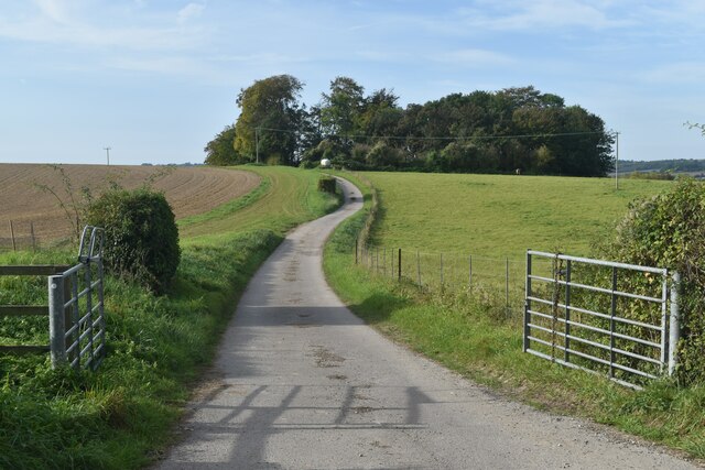
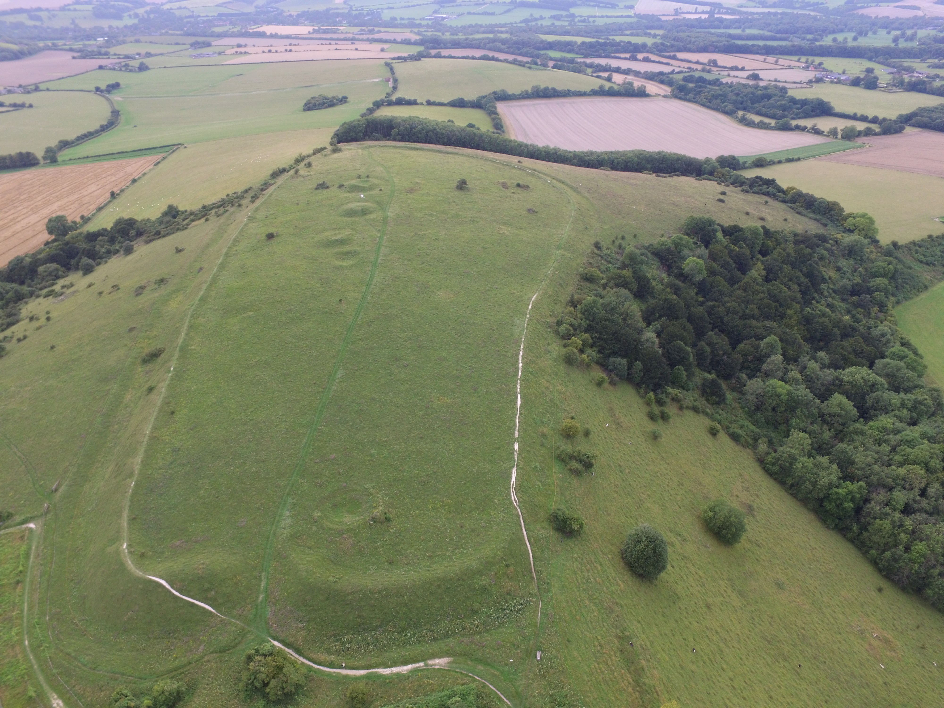
Roll's Copse is a picturesque woodland located in Hampshire, England. Spanning approximately 50 acres, it is a charming example of an ancient coppice woodland. Situated near the village of Steep, it is renowned for its natural beauty and diverse ecosystem.
The copse is predominantly composed of deciduous trees, including oak, ash, beech, and hazel. These trees create a dense canopy, allowing only dappled sunlight to penetrate the forest floor. This creates the perfect habitat for a variety of flora and fauna.
Roll's Copse boasts a rich biodiversity, with numerous species of plants and animals thriving within its boundaries. Bluebells, primroses, and wild garlic carpet the forest floor in spring, creating a stunning display of colors and scents. The woodland is also home to a wide range of bird species, including woodpeckers, tits, and warblers.
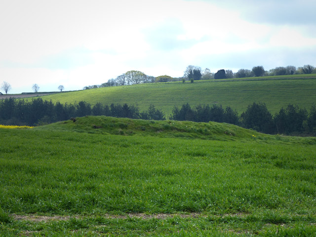
As an ancient coppice woodland, Roll's Copse has a long history of traditional woodland management practices. Coppicing, a traditional method of woodland management, involves cutting trees close to the ground to encourage new growth. This practice has been followed in the copse for centuries and continues to this day, ensuring the sustainability of the woodland and promoting the growth of diverse habitats.
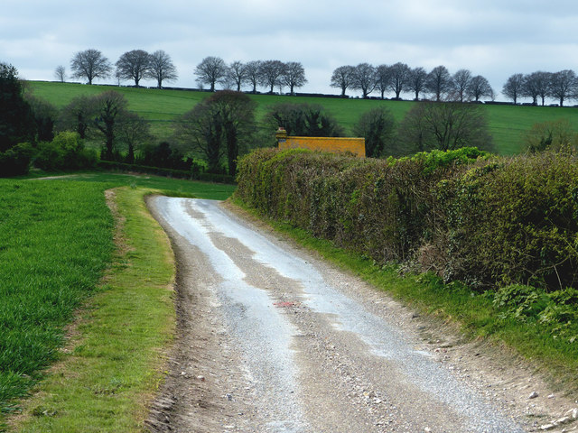
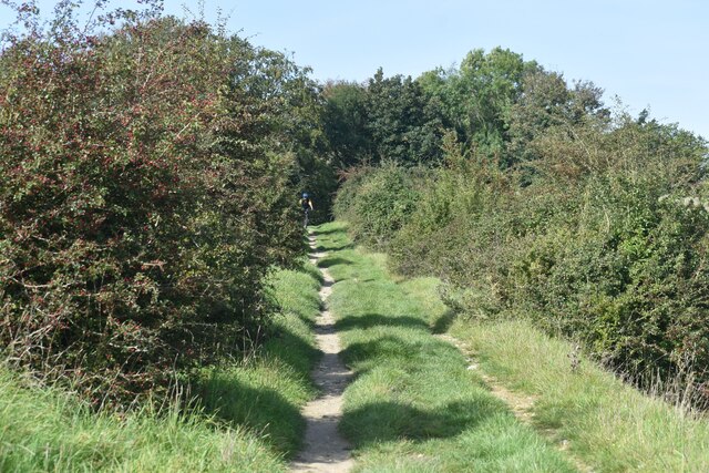
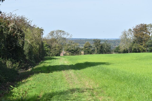
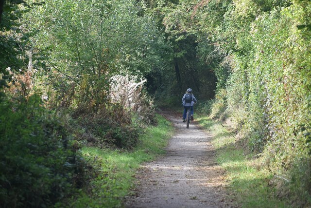
Roll's Copse offers visitors a tranquil escape from the hustle and bustle of everyday life. With its well-maintained footpaths, it is a popular spot for walkers, nature enthusiasts, and photographers. The copse provides a peaceful setting for exploring nature, observing wildlife, and enjoying the serenity of the Hampshire countryside.
If you have any feedback on the listing, please let us know in the comments section below.
Roll's Copse Images
Images are sourced within 2km of 50.988413/-1.0972374 or Grid Reference SU6321. Thanks to Geograph Open Source API. All images are credited.


Roll's Copse is located at Grid Ref: SU6321 (Lat: 50.988413, Lng: -1.0972374)
Administrative County: Hampshire
District: Winchester
Police Authority: Hampshire
What 3 Words
///alas.binds.yards. Near Swanmore, Hampshire
Nearby Locations
Related Wikis

Peake Wood
Peake Wood is a 17.7-hectare (44-acre) biological Site of Special Scientific Interest west of Petersfield in Hampshire.This is a prime example of a hazel...
Old Winchester Hill
Old Winchester Hill is a 66.2-hectare (164-acre) biological Site of Special Scientific Interest in Hampshire. It is a Nature Conservation Review site...

Warnford
Warnford is a village and civil parish in the City of Winchester district of Hampshire, England. The parish covers 1283 hectares (3170 acres). The village...

Exton, Hampshire
Exton is a small village and civil parish in the City of Winchester district of Hampshire, England. The village lies in the South Downs National Park,...
Meonstoke
Meonstoke is a village and former civil parish, now in the parish of Corhampton and Meonstoke, in the Winchester district, in the county of Hampshire,...

West Meon railway station
West Meon railway station was an intermediate station on the Meon Valley line which ran from Alton to Fareham during the first half of the 20th century...

Corhampton and Meonstoke
Corhampton and Meonstoke is a civil parish in the English county of Hampshire forming part of the area administered as the City of Winchester. It comprises...
Corhampton Church
Corhampton Church is an Anglican church in the village of Corhampton, in Hampshire, England. Unusually, it does not have a dedication to a saint or other...
Nearby Amenities
Located within 500m of 50.988413,-1.0972374Have you been to Roll's Copse?
Leave your review of Roll's Copse below (or comments, questions and feedback).