Juniperhill Wood
Wood, Forest in Oxfordshire South Oxfordshire
England
Juniperhill Wood
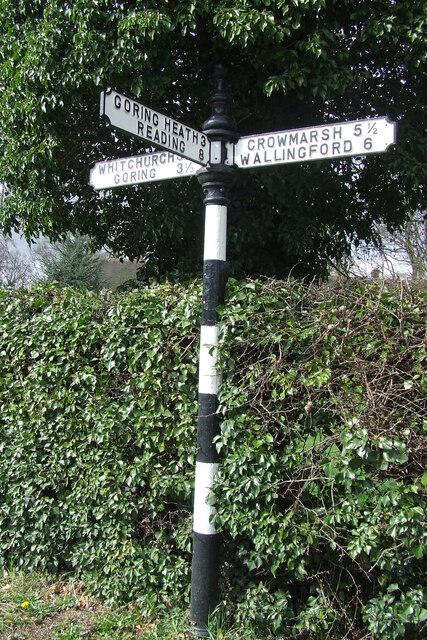
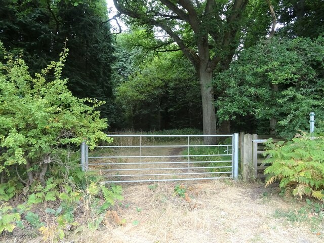
Juniperhill Wood is a picturesque woodland located in Oxfordshire, England. Spanning over a vast area of lush greenery and tall, majestic trees, this woodland is a haven for nature enthusiasts and those seeking a peaceful retreat from the hustle and bustle of the nearby towns and cities.
The woodland is known for its diverse range of flora and fauna, with a rich ecosystem that supports a wide variety of wildlife. The towering oak, beech, and pine trees create a dense canopy, casting a magical spell on visitors who wander through its enchanting paths. The forest floor is adorned with a carpet of bluebells in the spring, painting the landscape with vibrant hues.
Juniperhill Wood offers a multitude of recreational activities for visitors to enjoy. Numerous walking trails wind their way through the wood, allowing hikers to explore its hidden corners and discover its secret treasures. Birdwatchers can spot a plethora of feathered creatures, including woodpeckers, owls, and various species of songbirds.
The wood is well-maintained, with clear signposts and picnic areas scattered throughout the area. It is a popular spot for family outings, allowing children to connect with nature and indulge in outdoor play. There are also designated areas for camping and barbecues, providing opportunities for overnight stays and communal gatherings.
Juniperhill Wood is a tranquil oasis that offers a respite from the outside world. Its natural beauty and serene atmosphere make it a cherished destination for those seeking solace in the heart of Oxfordshire.
If you have any feedback on the listing, please let us know in the comments section below.
Juniperhill Wood Images
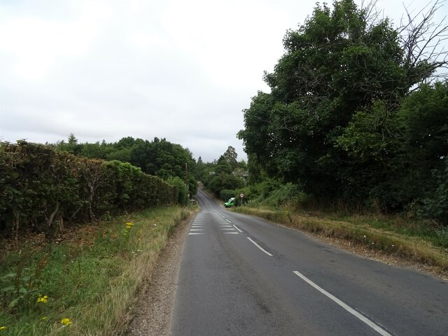
Images are sourced within 2km of 51.527606/-1.089183 or Grid Reference SU6381. Thanks to Geograph Open Source API. All images are credited.
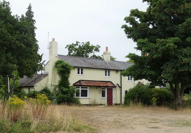
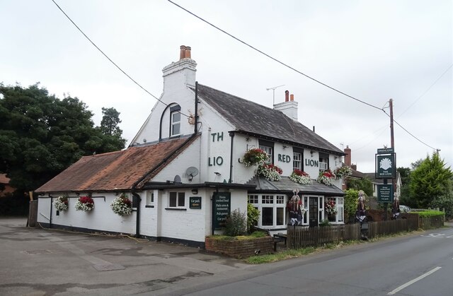
Juniperhill Wood is located at Grid Ref: SU6381 (Lat: 51.527606, Lng: -1.089183)
Administrative County: Oxfordshire
District: South Oxfordshire
Police Authority: Thames Valley
What 3 Words
///imagined.pave.blindfold. Near Goring, Oxfordshire
Nearby Locations
Related Wikis
Elvendon
Elvendon is a small settlement in Oxfordshire and the Chiltern Hills, near Goring. It includes the grade II listed building Elvendon Priory. == Etymology... ==
Crays Pond
Crays Pond is a hamlet situated in the parish of Goring Heath in South Oxfordshire. Crays Pond is about 2.4 miles (3.9 km) northeast of Goring-on-Thames...
Goring Heath
Goring Heath is a hamlet and civil parish in the Chiltern Hills in South Oxfordshire. The civil parish includes the villages of Whitchurch Hill and Crays...
Woodcote
Woodcote is a village and civil parish in South Oxfordshire, about 5 miles (8 km) southeast of Wallingford and about 7 miles (11 km) northwest of Reading...
The Oratory Preparatory School
The Oratory Prep School is a Roman Catholic day and boarding school for some 330 boys and girls aged from two to thirteen, founded in 1925. The school...
Langtree School
Langtree School is a coeducational secondary school located in the village of Woodcote in South Oxfordshire, England. The school has approximately 624...
Goring Rural District
Goring was a rural district in Oxfordshire, England from 1894 to 1932. It was formed from that part of the Bradfield rural sanitary district which was...
Whitchurch Hill
Whitchurch Hill is a village in the Chiltern Hills in Oxfordshire, about 5.5 miles (9 km) northwest of Reading, Berkshire, near Whitchurch-on-Thames. The...
Nearby Amenities
Located within 500m of 51.527606,-1.089183Have you been to Juniperhill Wood?
Leave your review of Juniperhill Wood below (or comments, questions and feedback).
