Assells Coppice
Wood, Forest in Hampshire Winchester
England
Assells Coppice
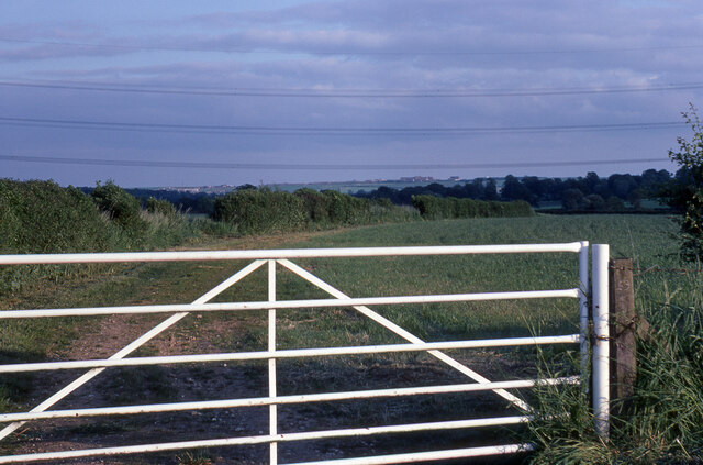
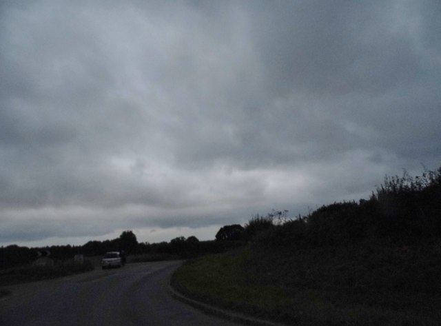
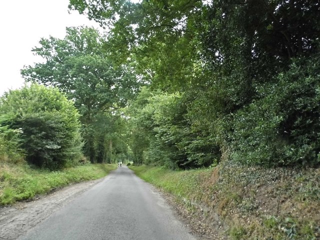
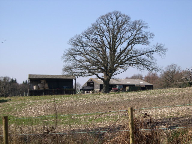
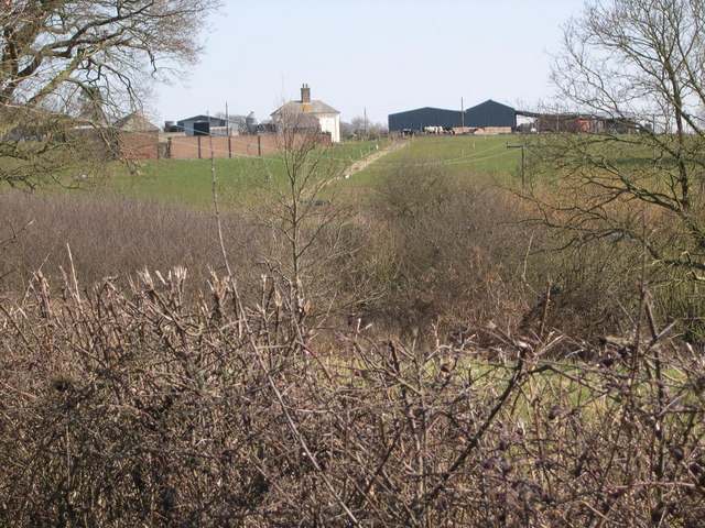
Assells Coppice is a picturesque woodland located in Hampshire, England. Covering an area of approximately 20 acres, it is a stunning example of a mixed deciduous forest. The coppice is situated in a secluded location, offering visitors a tranquil and peaceful environment to explore.
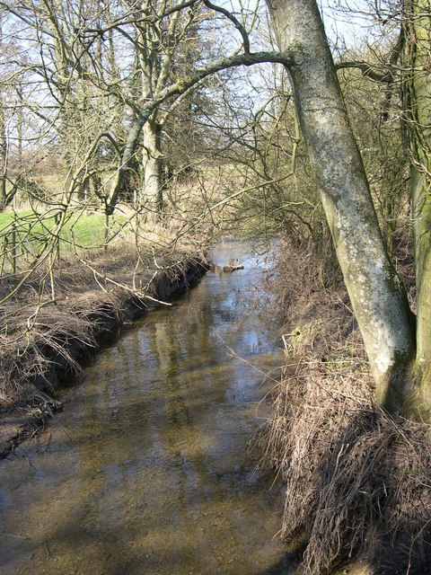
The woodland is home to a diverse range of tree species, including oak, beech, ash, and birch. These towering trees create a dense canopy, allowing only dappled sunlight to filter through to the forest floor. This creates a unique microclimate within the coppice, supporting a rich and varied ecosystem.
Walking through Assells Coppice, visitors will discover a myriad of flora and fauna. Wildflowers such as bluebells, primroses, and wood anemones carpet the forest floor in spring, painting a vibrant and colorful scene. The woodland is also home to a variety of wildlife, including deer, foxes, badgers, and a plethora of bird species. Nature enthusiasts will relish the opportunity to spot and observe these creatures in their natural habitat.
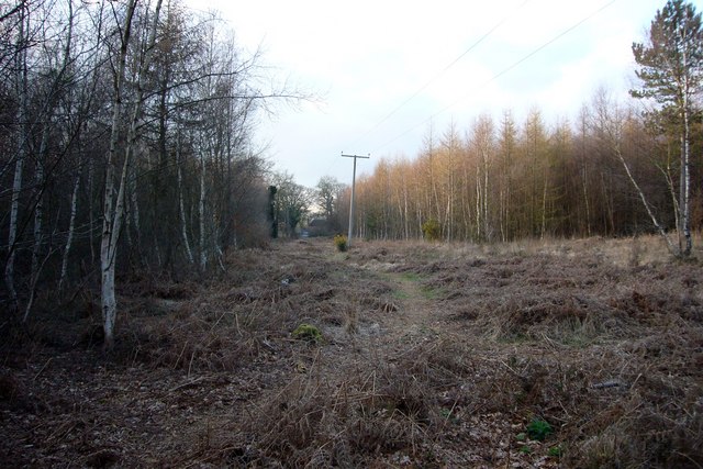
The coppice is crisscrossed with a network of footpaths, allowing visitors to explore and appreciate its beauty. These paths wind their way through the forest, leading to hidden clearings and idyllic viewpoints. There are also several benches strategically placed throughout the woodland, providing the perfect spot to sit and take in the sights and sounds of nature.
Assells Coppice is a popular destination for nature lovers, hikers, and photographers alike. Its natural beauty and serene ambiance make it an ideal place for a peaceful retreat or a leisurely stroll. Whether visiting for a day or just a few hours, Assells Coppice offers a truly enchanting experience in the heart of Hampshire.
If you have any feedback on the listing, please let us know in the comments section below.
Assells Coppice Images
Images are sourced within 2km of 50.881768/-1.1027678 or Grid Reference SU6309. Thanks to Geograph Open Source API. All images are credited.


Assells Coppice is located at Grid Ref: SU6309 (Lat: 50.881768, Lng: -1.1027678)
Administrative County: Hampshire
District: Winchester
Police Authority: Hampshire
What 3 Words
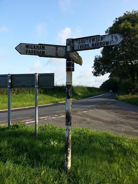
///hammocks.sued.different. Near Denmead, Hampshire
Nearby Locations
Related Wikis

Southwick House
Southwick House is a Grade II listed 19th-century manor house of the Southwick Estate in Hampshire, England, about 5 miles (8 km) north of Portsmouth....
HMS Dryad (shore establishment)
HMS Dryad is a former stone frigate (shore establishment). It was the home of the Royal Navy's Maritime Warfare School from the Second World War until...
St James Church, Southwick
St James Church, Southwick is the Church of England parish church of Southwick, Hampshire, England. The parish is part of the Diocese of Portsmouth.The...

Southwick, Hampshire
Southwick is a village and former civil parish, now in the parish of Southwick and Widley, in the Winchester district, in Hampshire, England. 1 mile...
Soberton and Newtown Millennium Walk 2000
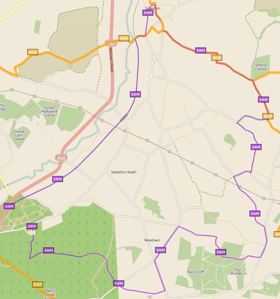
The Soberton and Newtown Millennium Walk 2000 is a 10-mile circular footpath through Hampshire, England around villages of Soberton and Newtown. Sections...
Worlds End, Hampshire
Worlds End is a small village in the civil parish of Denmead in the City of Winchester district of Hampshire, England. The village is about 7 miles (11...

Anthill Common
Anthill Common is a village in Hampshire, England. == External links == Media related to Anthill Common at Wikimedia Commons
Southwick and Widley
Southwick and Widley is a civil parish in the English county of Hampshire forming part of the area administered as the City of Winchester. It comprises...
Nearby Amenities
Located within 500m of 50.881768,-1.1027678Have you been to Assells Coppice?
Leave your review of Assells Coppice below (or comments, questions and feedback).