Bydale Howle Fox Covert
Wood, Forest in Yorkshire
England
Bydale Howle Fox Covert
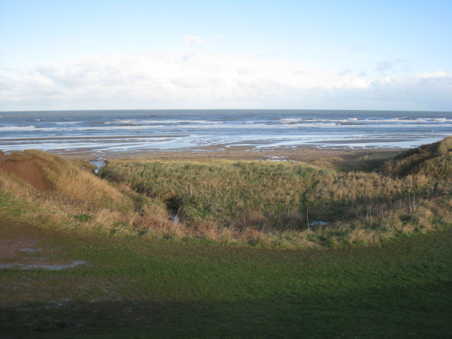
Bydale Howle Fox Covert is a picturesque woodland area situated in the county of Yorkshire, England. Nestled within the beautiful countryside, this enchanting woodland is known for its natural beauty and tranquil atmosphere. Spanning across several acres, it provides a serene escape from the hustle and bustle of everyday life.
The woodland is characterized by its dense canopy of towering trees, predominantly consisting of oak, beech, and ash. These trees create a cool and shaded environment, perfect for leisurely walks and exploration. The forest floor is covered in a thick carpet of mosses, ferns, and wildflowers, adding to the area's natural charm.
Bydale Howle Fox Covert is also home to a diverse range of wildlife. The woodland provides a habitat for various bird species, including owls, woodpeckers, and thrushes. Small mammals such as rabbits, foxes, and squirrels can also be spotted darting through the undergrowth.
Visitors to this woodland can enjoy a multitude of activities. There are several well-maintained walking trails that wind through the forest, offering stunning views and opportunities for wildlife spotting. Nature enthusiasts can also indulge in birdwatching, photography, and sketching, capturing the beauty of this idyllic location.
Throughout the year, Bydale Howle Fox Covert hosts numerous events and workshops to educate visitors about the importance of nature conservation. These events include guided walks, tree-planting initiatives, and wildlife talks, fostering a sense of community engagement and environmental awareness.
In conclusion, Bydale Howle Fox Covert in Yorkshire is a captivating woodland retreat where visitors can immerse themselves in the tranquility of nature. With its lush vegetation, diverse wildlife, and recreational opportunities, it is a haven for nature lovers and a perfect escape from the pressures of modern life.
If you have any feedback on the listing, please let us know in the comments section below.
Bydale Howle Fox Covert Images
Images are sourced within 2km of 54.598313/-1.0262014 or Grid Reference NZ6323. Thanks to Geograph Open Source API. All images are credited.


Bydale Howle Fox Covert is located at Grid Ref: NZ6323 (Lat: 54.598313, Lng: -1.0262014)
Division: North Riding
Unitary Authority: Redcar and Cleveland
Police Authority: Cleveland
What 3 Words
///handle.labels.latest. Near Marske-by-the-Sea, North Yorkshire
Nearby Locations
Related Wikis

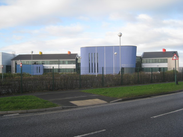
Outwood Academy Bydales
Outwood Academy Bydales (formerly Bydales School) is a mixed secondary school with academy status in Marske-by-the-Sea, North Yorkshire, England. It has...

Marske Aerodrome
Marske Aerodrome was a First World War-era airfield used by the Royal Flying Corps, and later by the Royal Air Force, between 1917 and 1920. The aerodrome...

Marske Hall
Marske Hall is a 17th-century former mansion house, now a Valorum Care Group residential care home, in Marske-by-the-Sea, Redcar and Cleveland, England...

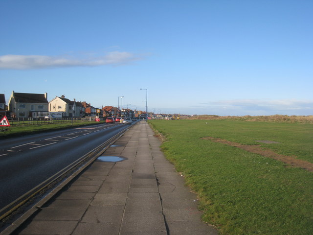
Marske-by-the-Sea
Marske-by-the-Sea is a village in the unitary authority of Redcar and Cleveland and the ceremonial county of North Yorkshire, England. It is located on...

Redcar Athletic F.C.
Redcar Athletic Football Club is a football club based in Redcar, North Yorkshire. The club are currently members of the Northern League Division One....

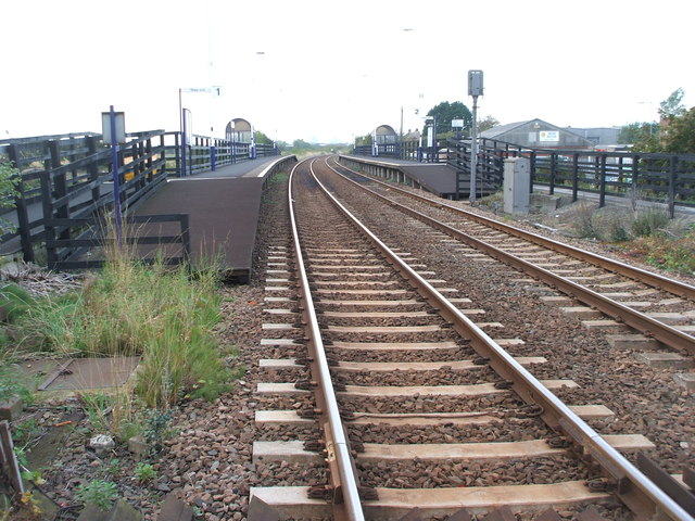
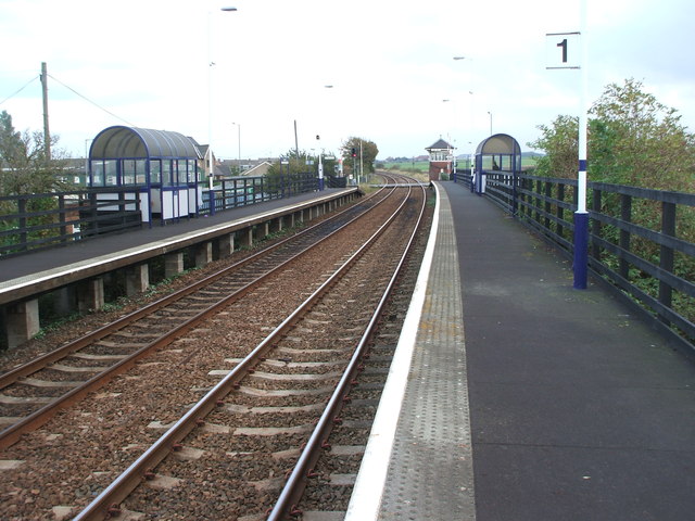
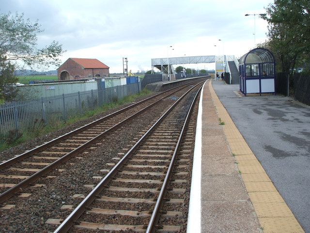
Longbeck railway station
Longbeck is a railway station on the Tees Valley Line, which runs between Bishop Auckland and Saltburn via Darlington. The station, situated 10 miles 28...

St Germain's Churchyard
St Germain's Churchyard is a large cemetery overlooking the North Sea at Marske-by-the-Sea, North Yorkshire, England. Its church tower is a grade II listed...
Marske United F.C.
Marske United Football Club is a football club based in Marske-by-the-Sea, North Yorkshire, England. They are currently members of the Northern Premier...
Nearby Amenities
Located within 500m of 54.598313,-1.0262014Have you been to Bydale Howle Fox Covert?
Leave your review of Bydale Howle Fox Covert below (or comments, questions and feedback).