Layland Plantation
Wood, Forest in Nottinghamshire Bassetlaw
England
Layland Plantation
Layland Plantation is a picturesque woodland located in Nottinghamshire, England. Covering an area of approximately 200 acres, this enchanting forest is known for its diverse flora and fauna, making it a haven for nature enthusiasts and wildlife lovers.
The plantation is characterized by a mix of ancient and young trees, including oak, beech, and birch, creating a rich and vibrant ecosystem. These trees provide a habitat for various bird species such as woodpeckers, thrushes, and owls, as well as small mammals like squirrels and hedgehogs.
Walking through Layland Plantation, visitors will be greeted by a tranquil atmosphere and the soothing sounds of nature. The forest floor is carpeted with a variety of wildflowers, adding bursts of color to the lush green surroundings. In spring, bluebells can be found in abundance, creating a breathtaking sight.
The plantation offers several well-marked trails, allowing visitors to explore the woodland at their leisure. These paths wind through the forest, taking visitors past serene ponds and babbling brooks. The trails also offer opportunities for birdwatching and photography, with designated viewpoints strategically placed to capture the beauty of the landscape.
Layland Plantation is a popular destination for outdoor activities such as hiking, picnicking, and nature walks. It offers a peaceful retreat from the hustle and bustle of city life, allowing visitors to reconnect with nature and enjoy the beauty of the Nottinghamshire countryside. Whether you are a nature enthusiast or simply seeking a peaceful escape, Layland Plantation is a must-visit destination in Nottinghamshire.
If you have any feedback on the listing, please let us know in the comments section below.
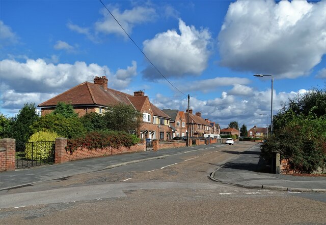
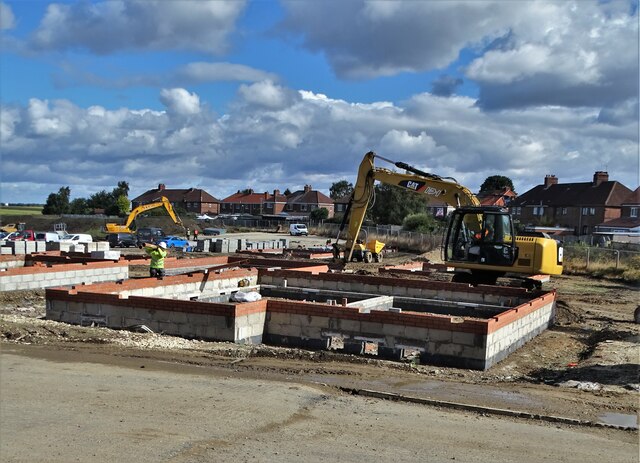
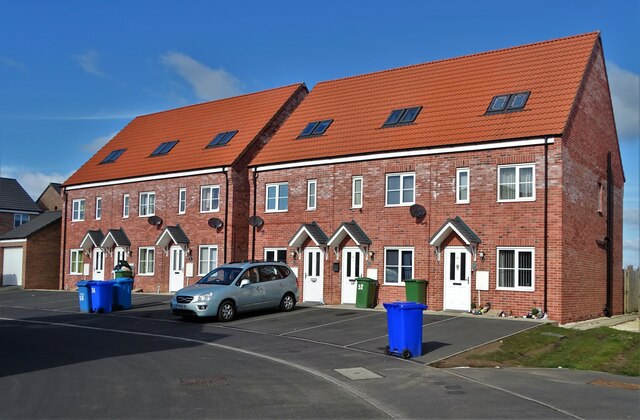
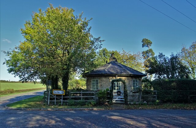
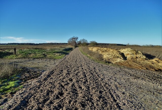
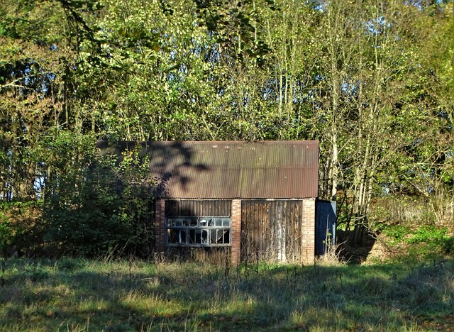
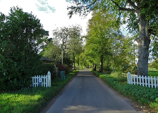
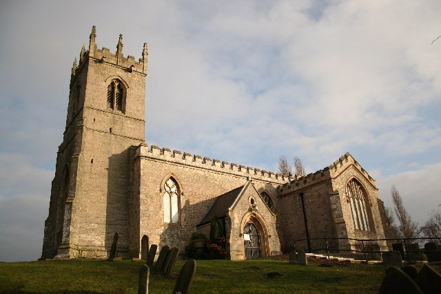
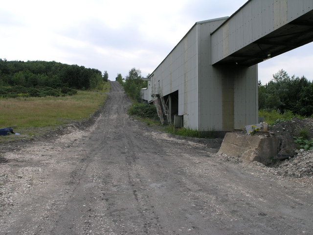
Layland Plantation Images
Images are sourced within 2km of 53.409927/-1.0535926 or Grid Reference SK6390. Thanks to Geograph Open Source API. All images are credited.


Layland Plantation is located at Grid Ref: SK6390 (Lat: 53.409927, Lng: -1.0535926)
Administrative County: Nottinghamshire
District: Bassetlaw
Police Authority: Nottinghamshire
What 3 Words
///piper.prompt.influence. Near Bircotes, Nottinghamshire
Nearby Locations
Related Wikis

Harworth Colliery F.C.
Harworth Colliery Football Club is an English football club based in Harworth and Bircotes, Nottinghamshire. The club are currently members of the Central...
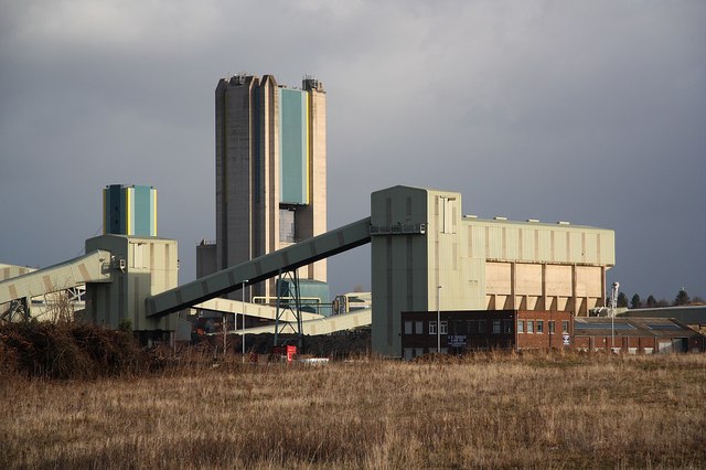
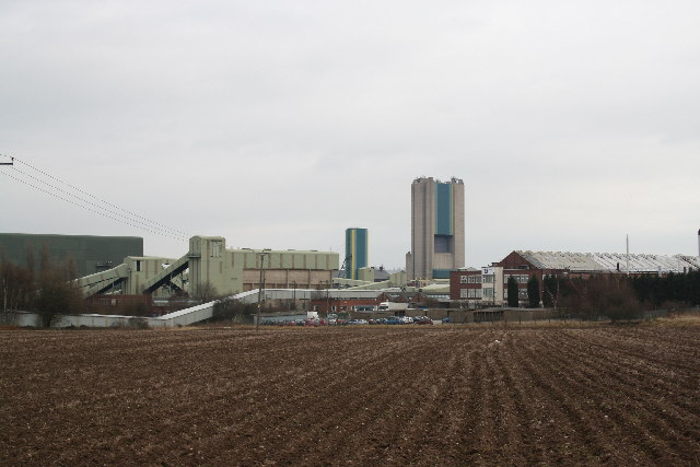
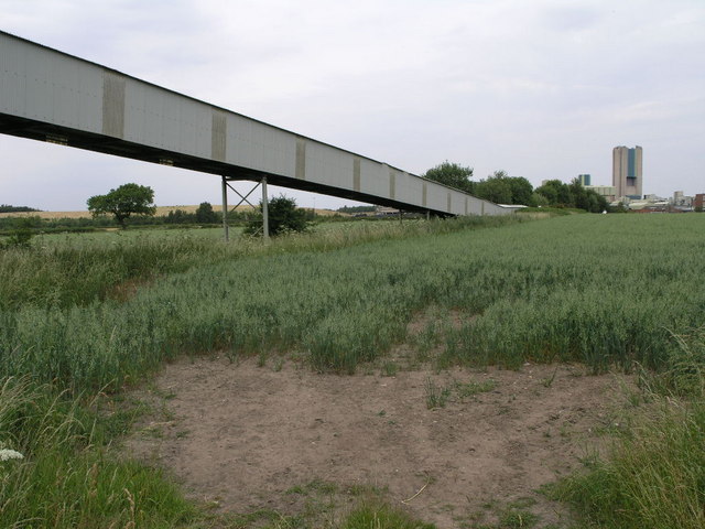
Harworth Colliery
Harworth Colliery was a colliery near the town of Harworth Bircotes in Bassetlaw, Nottinghamshire, England. It was abandoned in 2006 due to troubles at...

Bircotes
Bircotes is an area in the civil parish of Harworth and Bircotes in the Bassetlaw district of Nottinghamshire, England on the border with South Yorkshire...

Serlby Hall
Serlby Hall is a grade I listed 18th century mansion and estate in Nottinghamshire, England, located 7 miles north-east of Worksop.It is constructed of...
Serlby Park Academy
Serlby Park Academy is a mixed all-through school and sixth form located in the twin villages of Bircotes and Harworth in North Nottinghamshire. The school...

Harworth
Harworth is an area and former civil parish, now in the parish of Harworth Bircotes (with Bircotes) in the Bassetlaw district in Nottinghamshire, England...
Harworth Bircotes
Harworth Bircotes or Harworth and Bircotes is a town and civil parish in the Bassetlaw district of Nottinghamshire in the East Midlands of England. The...
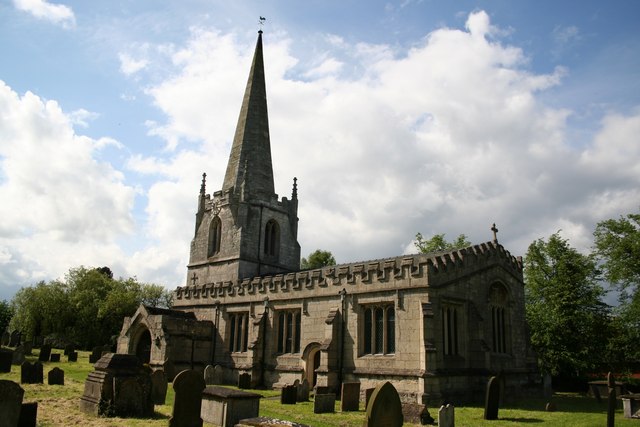
St Wilfrid's Church, Scrooby
St Wilfrid's Church, Scrooby is a Grade II* listed parish church in the Church of England in Scrooby. == History == The church was built in the 15th century...
Nearby Amenities
Located within 500m of 53.409927,-1.0535926Have you been to Layland Plantation?
Leave your review of Layland Plantation below (or comments, questions and feedback).