Arnold's Firs
Wood, Forest in Hampshire Winchester
England
Arnold's Firs
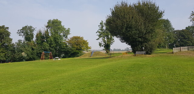
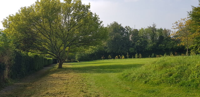
Arnold's Firs is a picturesque woodland located in Hampshire, England. Covering an area of approximately 100 acres, it is often referred to as Arnold's Forest due to its dense and abundant tree population. The woodland is situated in a rural area, surrounded by rolling hills and charming countryside landscapes.
The forest is primarily composed of fir trees, hence its name, which create a majestic and serene atmosphere. The tall, evergreen trees provide a lush canopy, casting dappled sunlight on the forest floor. This creates a magical ambiance that attracts nature enthusiasts and visitors alike.
Arnold's Firs is home to a diverse range of flora and fauna. The forest floor is carpeted with a variety of wildflowers, including bluebells and primroses, which bloom in abundance during the spring season. The woodland is also inhabited by a multitude of animal species, including birds, squirrels, rabbits, and deer, making it a haven for wildlife enthusiasts and photographers.
The forest offers several walking trails and footpaths, allowing visitors to explore its beauty at their own pace. These trails wind through the woodland, offering breathtaking views of ancient trees, charming streams, and peaceful glades. The tranquil atmosphere and natural beauty of Arnold's Firs make it an ideal destination for nature walks, picnics, and family outings.
Overall, Arnold's Firs in Hampshire is a captivating and enchanting woodland that showcases the beauty of nature. Its rich biodiversity and stunning landscapes make it a popular destination for those seeking solace and a connection with the natural world.
If you have any feedback on the listing, please let us know in the comments section below.
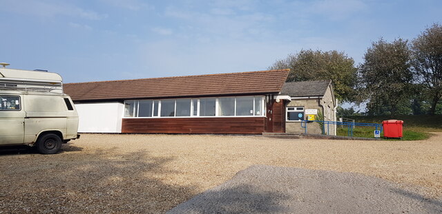
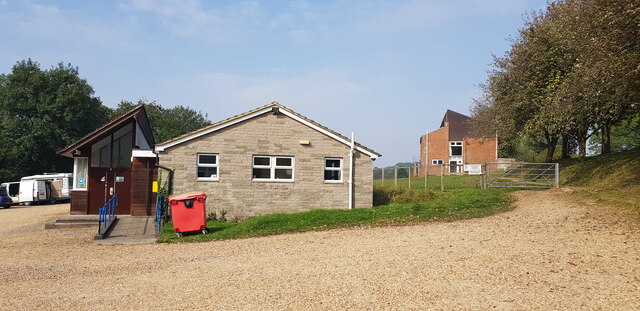
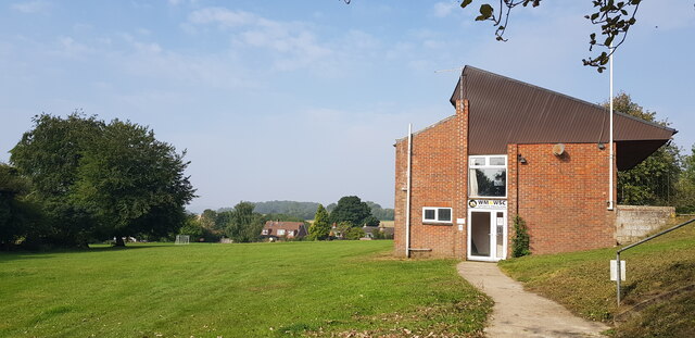
Arnold's Firs Images
Images are sourced within 2km of 51.026495/-1.1029861 or Grid Reference SU6325. Thanks to Geograph Open Source API. All images are credited.


Arnold's Firs is located at Grid Ref: SU6325 (Lat: 51.026495, Lng: -1.1029861)
Administrative County: Hampshire
District: Winchester
Police Authority: Hampshire
What 3 Words
///joints.enter.seducing. Near New Alresford, Hampshire
Nearby Locations
Related Wikis
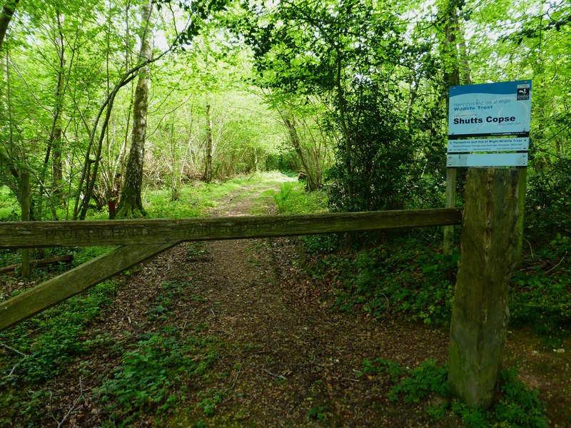
Shutts Copse
Shutts Copse is a 5-hectare (12-acre) nature reserve north of West Meon in Hampshire. It is managed by the Hampshire and Isle of Wight Wildlife Trust...

West Meon
West Meon is a village and civil parish in Hampshire, England, with a population of 749 people at the 2011 census. == Geography == It is 2+3⁄4 miles (4...

West Meon railway station
West Meon railway station was an intermediate station on the Meon Valley line which ran from Alton to Fareham during the first half of the 20th century...
Bramdean
Bramdean is a village and former civil parish, now in the parish of Bramdean and Hinton Ampner, in the Winchester district, in the county of Hampshire...

Warnford
Warnford is a village and civil parish in the City of Winchester district of Hampshire, England. The parish covers 1283 hectares (3170 acres). The village...

Bramdean and Hinton Ampner
Bramdean and Hinton Ampner is a civil parish in the English county of Hampshire, forming part of the area administered as the City of Winchester. Its main...

Westbury House
Westbury House is a country house south of West Meon Road between East Meon and West Meon in Hampshire, England. The house was built in the Palladian style...

Chappetts Copse
Chappetts Copse is a 12-hectare (30-acre) nature reserve east of West Meon in Hampshire. It is owned and managed by the Hampshire and Isle of Wight Wildlife...
Related Videos


THE SOUTH DOWNS NATIONAL PARK......a cinematic adventure through ancient woodlands!
Filmed in the stunning South Downs National Park, take a short journey through Queen Elizabeth Country park and it's ancient ...
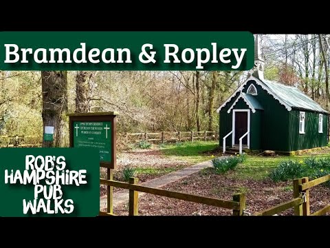
#68 Rob's Hampshire Pub Walks (The Bramdean & Ropley Walk)
8 miles approximately, starting and finishing at The Fox Inn , Bramdean. Dog Friendly Explore the beautiful Hampshire ...

Under World Adventures
Bmw R1250 GS Adventure Passing Loomies Moto Cafe Sunday ride Group ride bikes Bmw S1000 XR Triumph Street Triple 675 ...
Nearby Amenities
Located within 500m of 51.026495,-1.1029861Have you been to Arnold's Firs?
Leave your review of Arnold's Firs below (or comments, questions and feedback).