Hotham Hill Wood

Wood, Forest in Nottinghamshire Newark and Sherwood

England

Hotham Hill Wood

Car park by Duncanwood Lodge
Car park by Duncanwood Lodge Credit: Chris Morgan

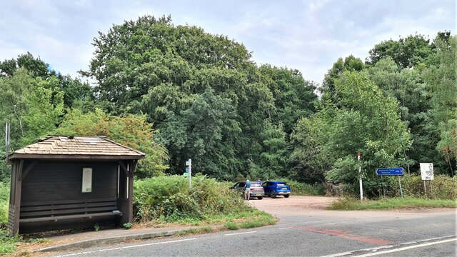
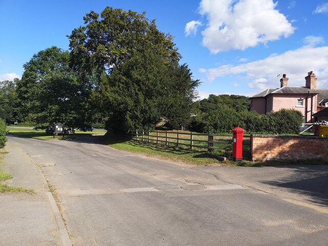
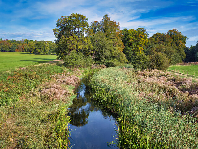
Hotham Hill Wood, located in Nottinghamshire, is a picturesque woodland area that covers approximately 100 acres of land. Situated in the heart of Sherwood Forest, it is known for its rich biodiversity and stunning natural beauty. The wood is named after the nearby Hotham Hill, a prominent hill that offers breathtaking views of the surrounding landscape.

The woodland is predominantly made up of deciduous trees, such as oak, beech, and birch, creating a dense canopy that provides shade and shelter for a variety of flora and fauna. The forest floor is adorned with a diverse range of wildflowers, including bluebells, primroses, and wood anemones, creating a vibrant and colorful display during the spring months.

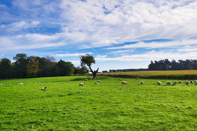
Hotham Hill Wood is also home to a myriad of wildlife species. Birdwatchers can spot various species, including woodpeckers, owls, and buzzards, while nature enthusiasts may catch a glimpse of elusive mammals such as deer, foxes, and badgers. The wood is also known for its population of rare butterflies, making it a popular spot for insect enthusiasts.

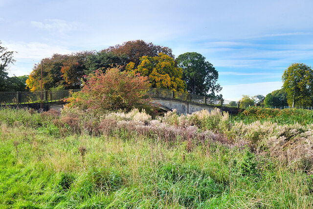
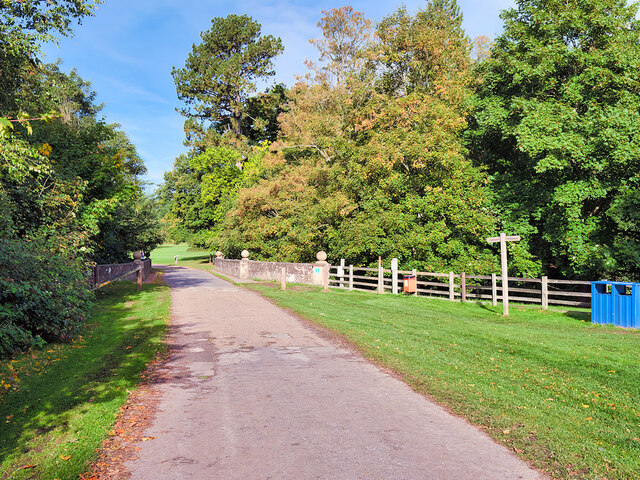
The woodland offers a network of well-maintained walking trails, allowing visitors to explore the area at their own pace. These trails provide opportunities to immerse oneself in nature and to appreciate the tranquility and beauty of the wood. Additionally, the wood is equipped with picnic areas and benches, providing visitors with the perfect place to relax and enjoy a picnic amidst the peaceful surroundings.

Hotham Hill Wood is a gem within Nottinghamshire, offering visitors a chance to connect with nature and experience the wonders of a traditional English woodland.

If you have any feedback on the listing, please let us know in the comments section below.

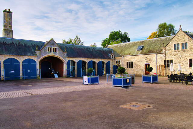
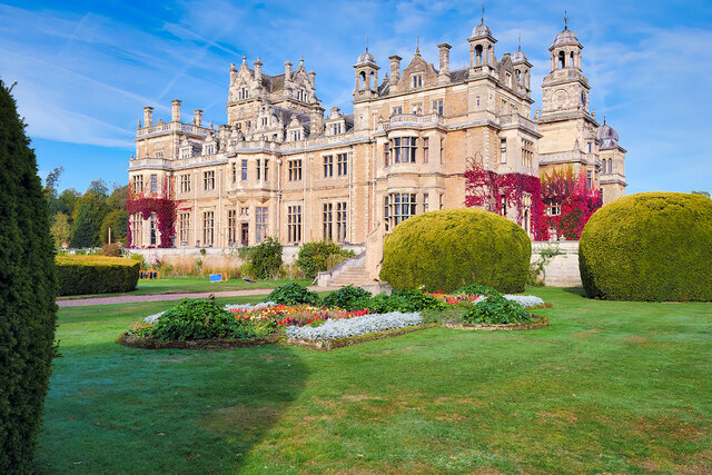
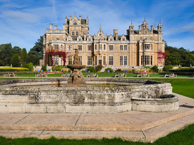
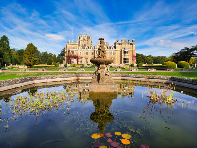
Hotham Hill Wood Images

Images are sourced within 2km of 53.235759/-1.0595951 or Grid Reference SK6271. Thanks to Geograph Open Source API. All images are credited.

Car park by Duncanwood Lodge
Budby Village
Budby Village
Thoresby Hall and Garden The ornate fountain in front of the house is Grade II-listed (Historic England List Entry 1370209 <span class="nowrap"><a title="https://historicengland.org.uk/listing/the-list/list-entry/1370209" rel="nofollow ugc noopener" href="https://historicengland.org.uk/listing/the-list/list-entry/1370209">Link</a><img style="margin-left:2px;" alt="External link" title="External link - shift click to open in new window" src="https://s1.geograph.org.uk/img/external.png" width="10" height="10"/></span> ). It dates from 1865.
Thoresby Hall and Garden
The ornate fountain in front of the house is Grade II-listed (Historic England List Entry 1370209 LinkExternal link ). It dates from 1865.
Former Stable Block at Thoresby Hall Built at the same time as Thoresby Hall, the stable block is Grade II-listed (List Entry No <span class="nowrap"><a title="https://historicengland.org.uk/listing/the-list/list-entry/1370209" rel="nofollow ugc noopener" href="https://historicengland.org.uk/listing/the-list/list-entry/1370209">Link</a><img style="margin-left:2px;" alt="External link" title="External link - shift click to open in new window" src="https://s1.geograph.org.uk/img/external.png" width="10" height="10"/></span> Historic England). It is now open to the public as a retail space within Thoresby Park.
Former Stable Block at Thoresby Hall
Built at the same time as Thoresby Hall, the stable block is Grade II-listed (List Entry No LinkExternal link Historic England). It is now open to the public as a retail space within Thoresby Park.
Stables Courtyard, Thoresby Park Built at the same time as Thoresby Hall, the stable block is Grade II-listed (List Entry No <span class="nowrap"><a title="https://historicengland.org.uk/listing/the-list/list-entry/1370209" rel="nofollow ugc noopener" href="https://historicengland.org.uk/listing/the-list/list-entry/1370209">Link</a><img style="margin-left:2px;" alt="External link" title="External link - shift click to open in new window" src="https://s1.geograph.org.uk/img/external.png" width="10" height="10"/></span> Historic England). It is now open to the public as a retail space within Thoresby Park.
Stables Courtyard, Thoresby Park
Built at the same time as Thoresby Hall, the stable block is Grade II-listed (List Entry No LinkExternal link Historic England). It is now open to the public as a retail space within Thoresby Park.
Thoresby Hall The main east front has a central 3-storey projecting porch with a porte-cochere and above it, a 2-stage bell tower with a domed octagonal cupola. The tower has a cornice with 4 urns. The clock stage, above, has triple corner pilasters and rosette decoration. The clock face is to the east.
Thoresby Hall
The main east front has a central 3-storey projecting porch with a porte-cochere and above it, a 2-stage bell tower with a domed octagonal cupola. The tower has a cornice with 4 urns. The clock stage, above, has triple corner pilasters and rosette decoration. The clock face is to the east.
Thoresby Hall, East Face The main east front has a central 3-storey projecting porch with a porte-cochere and above it, a 2-stage bell tower with a domed octagonal cupola. The tower has a cornice with 4 urns. The clock stage, above, has triple corner pilasters and rosette decoration. The clock face is to the east.
Thoresby Hall, East Face
The main east front has a central 3-storey projecting porch with a porte-cochere and above it, a 2-stage bell tower with a domed octagonal cupola. The tower has a cornice with 4 urns. The clock stage, above, has triple corner pilasters and rosette decoration. The clock face is to the east.
Thoresby Hall, South Front The south front has 3 different bay windows. A central scrolled-shaped gable is flanked to left by a square tower with a parapet and to right by a tower with corner cupolas. The Central pedimented doorcase is flanked to left by 3 and to right by 2 casements on each floor.
Thoresby Hall, South Front
The south front has 3 different bay windows. A central scrolled-shaped gable is flanked to left by a square tower with a parapet and to right by a tower with corner cupolas. The Central pedimented doorcase is flanked to left by 3 and to right by 2 casements on each floor.
South Front, Thoresby Hall The south front has 3 different bay windows. A central scrolled-shaped gable is flanked to left by a square tower with a parapet and to right by a tower with corner cupolas. The Central pedimented doorcase is flanked to left by 3 and to right by 2 casements on each floor.

The ornate fountain in front of the house is Grade II-listed (Historic England List Entry 1370209 <span class="nowrap"><a title="https://historicengland.org.uk/listing/the-list/list-entry/1370209" rel="nofollow ugc noopener" href="https://historicengland.org.uk/listing/the-list/list-entry/1370209">Link</a><img style="margin-left:2px;" alt="External link" title="External link - shift click to open in new window" src="https://s1.geograph.org.uk/img/external.png" width="10" height="10"/></span> ). It dates from 1865.
South Front, Thoresby Hall
The south front has 3 different bay windows. A central scrolled-shaped gable is flanked to left by a square tower with a parapet and to right by a tower with corner cupolas. The Central pedimented doorcase is flanked to left by 3 and to right by 2 casements on each floor. The ornate fountain in front of the house is Grade II-listed (Historic England List Entry 1370209 LinkExternal link ). It dates from 1865.
Fountain to the South of Thoresby Hall The ornate fountain in front of the house is Grade II-listed (Historic England List Entry 1370209 <span class="nowrap"><a title="https://historicengland.org.uk/listing/the-list/list-entry/1370209" rel="nofollow ugc noopener" href="https://historicengland.org.uk/listing/the-list/list-entry/1370209">Link</a><img style="margin-left:2px;" alt="External link" title="External link - shift click to open in new window" src="https://s1.geograph.org.uk/img/external.png" width="10" height="10"/></span> ). It dates from 1865.
Fountain to the South of Thoresby Hall
The ornate fountain in front of the house is Grade II-listed (Historic England List Entry 1370209 LinkExternal link ). It dates from 1865.
River Meden, Thoresby Park Thoresby Park stands in a rural setting approximately 3km north-west of the village of New Ollerton. It was by enclosure from Sherwood Forest in the seventeenth century by William Pierrepont, fourth Earl of Kingston. The extensive grounds cover more than 1000 acres of rich, unspoilt, undulating countryside that is bounded to the north by a deep woodland belt, beyond which lies the south boundary of Clumber Park, and to the south and west by further extensive woodlands. To the east, part of the boundary is formed by woodland and part by the A614, with Perlethorpe village lying just beyond the centre of the eastern boundary plantation. A minor country road cuts through the park to the north of the Hall, connecting the villages of Haughton in the north-east to Budby in the south-west. It is open to the public and there is a visitor centre in the old stables complex <a href="https://www.geograph.org.uk/photo/7312967">SK6371 : Stables Courtyard, Thoresby Park</a>.

The park is designated Grade I in the Parks and Gardens category of the National Heritage List for England (List Entry Number:1000361 <span class="nowrap"><a title="https://historicengland.org.uk/listing/the-list/list-entry/1000361" rel="nofollow ugc noopener" href="https://historicengland.org.uk/listing/the-list/list-entry/1000361">Link</a><img style="margin-left:2px;" alt="External link" title="External link - shift click to open in new window" src="https://s1.geograph.org.uk/img/external.png" width="10" height="10"/></span> Historic England).
River Meden, Thoresby Park
Thoresby Park stands in a rural setting approximately 3km north-west of the village of New Ollerton. It was by enclosure from Sherwood Forest in the seventeenth century by William Pierrepont, fourth Earl of Kingston. The extensive grounds cover more than 1000 acres of rich, unspoilt, undulating countryside that is bounded to the north by a deep woodland belt, beyond which lies the south boundary of Clumber Park, and to the south and west by further extensive woodlands. To the east, part of the boundary is formed by woodland and part by the A614, with Perlethorpe village lying just beyond the centre of the eastern boundary plantation. A minor country road cuts through the park to the north of the Hall, connecting the villages of Haughton in the north-east to Budby in the south-west. It is open to the public and there is a visitor centre in the old stables complex SK6371 : Stables Courtyard, Thoresby Park. The park is designated Grade I in the Parks and Gardens category of the National Heritage List for England (List Entry Number:1000361 LinkExternal link Historic England).
Sheep Grazing in Thoresby Park Thoresby Park stands in a rural setting approximately 3km north-west of the village of New Ollerton. It was by enclosure from Sherwood Forest in the seventeenth century by William Pierrepont, fourth Earl of Kingston. The extensive grounds cover more than 1000 acres of rich, unspoilt, undulating countryside that is bounded to the north by a deep woodland belt, beyond which lies the south boundary of Clumber Park, and to the south and west by further extensive woodlands. To the east, part of the boundary is formed by woodland and part by the A614, with Perlethorpe village lying just beyond the centre of the eastern boundary plantation. A minor country road cuts through the park to the north of the Hall, connecting the villages of Haughton in the north-east to Budby in the south-west. It is open to the public and there is a visitor centre in the old stables complex <a href="https://www.geograph.org.uk/photo/7312967">SK6371 : Stables Courtyard, Thoresby Park</a>.

The park is designated Grade I in the Parks and Gardens category of the National Heritage List for England (List Entry Number:1000361 <span class="nowrap"><a title="https://historicengland.org.uk/listing/the-list/list-entry/1000361" rel="nofollow ugc noopener" href="https://historicengland.org.uk/listing/the-list/list-entry/1000361">Link</a><img style="margin-left:2px;" alt="External link" title="External link - shift click to open in new window" src="https://s1.geograph.org.uk/img/external.png" width="10" height="10"/></span> Historic England).
Sheep Grazing in Thoresby Park
Thoresby Park stands in a rural setting approximately 3km north-west of the village of New Ollerton. It was by enclosure from Sherwood Forest in the seventeenth century by William Pierrepont, fourth Earl of Kingston. The extensive grounds cover more than 1000 acres of rich, unspoilt, undulating countryside that is bounded to the north by a deep woodland belt, beyond which lies the south boundary of Clumber Park, and to the south and west by further extensive woodlands. To the east, part of the boundary is formed by woodland and part by the A614, with Perlethorpe village lying just beyond the centre of the eastern boundary plantation. A minor country road cuts through the park to the north of the Hall, connecting the villages of Haughton in the north-east to Budby in the south-west. It is open to the public and there is a visitor centre in the old stables complex SK6371 : Stables Courtyard, Thoresby Park. The park is designated Grade I in the Parks and Gardens category of the National Heritage List for England (List Entry Number:1000361 LinkExternal link Historic England).
Footbridge across the River Meden in Thoresby Park Early 19th century ashlar and cast iron bridge with a single segmental arch. It is a Grade II listed building (List Entry:1045448 <span class="nowrap"><a title="https://historicengland.org.uk/listing/the-list/list-entry/1045448" rel="nofollow ugc noopener" href="https://historicengland.org.uk/listing/the-list/list-entry/1045448">Link</a><img style="margin-left:2px;" alt="External link" title="External link - shift click to open in new window" src="https://s1.geograph.org.uk/img/external.png" width="10" height="10"/></span> Historic England).
Footbridge across the River Meden in Thoresby Park
Early 19th century ashlar and cast iron bridge with a single segmental arch. It is a Grade II listed building (List Entry:1045448 LinkExternal link Historic England).
Path in Thoresby Park Thoresby Park stands in a rural setting approximately 3km north-west of the village of New Ollerton. It was by enclosure from Sherwood Forest in the seventeenth century by William Pierrepont, fourth Earl of Kingston. The extensive grounds cover more than 1000 acres of rich, unspoilt, undulating countryside that is bounded to the north by a deep woodland belt, beyond which lies the south boundary of Clumber Park, and to the south and west by further extensive woodlands. To the east, part of the boundary is formed by woodland and part by the A614, with Perlethorpe village lying just beyond the centre of the eastern boundary plantation. A minor country road cuts through the park to the north of the Hall, connecting the villages of Haughton in the north-east to Budby in the south-west. It is open to the public and there is a visitor centre in the old stables complex <a href="https://www.geograph.org.uk/photo/7312967">SK6371 : Stables Courtyard, Thoresby Park</a>.

The park is designated Grade I in the Parks and Gardens category of the National Heritage List for England (List Entry Number:1000361 <span class="nowrap"><a title="https://historicengland.org.uk/listing/the-list/list-entry/1000361" rel="nofollow ugc noopener" href="https://historicengland.org.uk/listing/the-list/list-entry/1000361">Link</a><img style="margin-left:2px;" alt="External link" title="External link - shift click to open in new window" src="https://s1.geograph.org.uk/img/external.png" width="10" height="10"/></span> Historic England).
Path in Thoresby Park
Thoresby Park stands in a rural setting approximately 3km north-west of the village of New Ollerton. It was by enclosure from Sherwood Forest in the seventeenth century by William Pierrepont, fourth Earl of Kingston. The extensive grounds cover more than 1000 acres of rich, unspoilt, undulating countryside that is bounded to the north by a deep woodland belt, beyond which lies the south boundary of Clumber Park, and to the south and west by further extensive woodlands. To the east, part of the boundary is formed by woodland and part by the A614, with Perlethorpe village lying just beyond the centre of the eastern boundary plantation. A minor country road cuts through the park to the north of the Hall, connecting the villages of Haughton in the north-east to Budby in the south-west. It is open to the public and there is a visitor centre in the old stables complex SK6371 : Stables Courtyard, Thoresby Park. The park is designated Grade I in the Parks and Gardens category of the National Heritage List for England (List Entry Number:1000361 LinkExternal link Historic England).
Thoresby Park, River Meden Thoresby Park stands in a rural setting approximately 3km north-west of the village of New Ollerton. It was by enclosure from Sherwood Forest in the seventeenth century by William Pierrepont, fourth Earl of Kingston. The extensive grounds cover more than 1000 acres of rich, unspoilt, undulating countryside that is bounded to the north by a deep woodland belt, beyond which lies the south boundary of Clumber Park, and to the south and west by further extensive woodlands. To the east, part of the boundary is formed by woodland and part by the A614, with Perlethorpe village lying just beyond the centre of the eastern boundary plantation. A minor country road cuts through the park to the north of the Hall, connecting the villages of Haughton in the north-east to Budby in the south-west. It is open to the public and there is a visitor centre in the old stables complex <a href="https://www.geograph.org.uk/photo/7312967">SK6371 : Stables Courtyard, Thoresby Park</a>.

The park is designated Grade I in the Parks and Gardens category of the National Heritage List for England (List Entry Number:1000361 <span class="nowrap"><a title="https://historicengland.org.uk/listing/the-list/list-entry/1000361" rel="nofollow ugc noopener" href="https://historicengland.org.uk/listing/the-list/list-entry/1000361">Link</a><img style="margin-left:2px;" alt="External link" title="External link - shift click to open in new window" src="https://s1.geograph.org.uk/img/external.png" width="10" height="10"/></span> Historic England).
Thoresby Park, River Meden
Thoresby Park stands in a rural setting approximately 3km north-west of the village of New Ollerton. It was by enclosure from Sherwood Forest in the seventeenth century by William Pierrepont, fourth Earl of Kingston. The extensive grounds cover more than 1000 acres of rich, unspoilt, undulating countryside that is bounded to the north by a deep woodland belt, beyond which lies the south boundary of Clumber Park, and to the south and west by further extensive woodlands. To the east, part of the boundary is formed by woodland and part by the A614, with Perlethorpe village lying just beyond the centre of the eastern boundary plantation. A minor country road cuts through the park to the north of the Hall, connecting the villages of Haughton in the north-east to Budby in the south-west. It is open to the public and there is a visitor centre in the old stables complex SK6371 : Stables Courtyard, Thoresby Park. The park is designated Grade I in the Parks and Gardens category of the National Heritage List for England (List Entry Number:1000361 LinkExternal link Historic England).
River Meden, Thoresby Park Thoresby Park stands in a rural setting approximately 3km north-west of the village of New Ollerton. It was by enclosure from Sherwood Forest in the seventeenth century by William Pierrepont, fourth Earl of Kingston. The extensive grounds cover more than 1000 acres of rich, unspoilt, undulating countryside that is bounded to the north by a deep woodland belt, beyond which lies the south boundary of Clumber Park, and to the south and west by further extensive woodlands. To the east, part of the boundary is formed by woodland and part by the A614, with Perlethorpe village lying just beyond the centre of the eastern boundary plantation. A minor country road cuts through the park to the north of the Hall, connecting the villages of Haughton in the north-east to Budby in the south-west. It is open to the public and there is a visitor centre in the old stables complex <a href="https://www.geograph.org.uk/photo/7312967">SK6371 : Stables Courtyard, Thoresby Park</a>.

The park is designated Grade I in the Parks and Gardens category of the National Heritage List for England (List Entry Number:1000361 <span class="nowrap"><a title="https://historicengland.org.uk/listing/the-list/list-entry/1000361" rel="nofollow ugc noopener" href="https://historicengland.org.uk/listing/the-list/list-entry/1000361">Link</a><img style="margin-left:2px;" alt="External link" title="External link - shift click to open in new window" src="https://s1.geograph.org.uk/img/external.png" width="10" height="10"/></span> Historic England).
River Meden, Thoresby Park
Thoresby Park stands in a rural setting approximately 3km north-west of the village of New Ollerton. It was by enclosure from Sherwood Forest in the seventeenth century by William Pierrepont, fourth Earl of Kingston. The extensive grounds cover more than 1000 acres of rich, unspoilt, undulating countryside that is bounded to the north by a deep woodland belt, beyond which lies the south boundary of Clumber Park, and to the south and west by further extensive woodlands. To the east, part of the boundary is formed by woodland and part by the A614, with Perlethorpe village lying just beyond the centre of the eastern boundary plantation. A minor country road cuts through the park to the north of the Hall, connecting the villages of Haughton in the north-east to Budby in the south-west. It is open to the public and there is a visitor centre in the old stables complex SK6371 : Stables Courtyard, Thoresby Park. The park is designated Grade I in the Parks and Gardens category of the National Heritage List for England (List Entry Number:1000361 LinkExternal link Historic England).
River Meden, Bridge at Thoresby Park The single-arch bridge dates from the mid-nineteenth century. It is a Grade II listed building (List Entry 1370208 <span class="nowrap"><a title="https://historicengland.org.uk/listing/the-list/list-entry/1370208" rel="nofollow ugc noopener" href="https://historicengland.org.uk/listing/the-list/list-entry/1370208">Link</a><img style="margin-left:2px;" alt="External link" title="External link - shift click to open in new window" src="https://s1.geograph.org.uk/img/external.png" width="10" height="10"/></span> Historic England).
River Meden, Bridge at Thoresby Park
The single-arch bridge dates from the mid-nineteenth century. It is a Grade II listed building (List Entry 1370208 LinkExternal link Historic England).
Thoresby Park Cricket Ground and Pavilion Thoresby Park stands in a rural setting approximately 3km north-west of the village of New Ollerton. It was by enclosure from Sherwood Forest in the seventeenth century by William Pierrepont, fourth Earl of Kingston. The extensive grounds cover more than 1000 acres of rich, unspoilt, undulating countryside that is bounded to the north by a deep woodland belt, beyond which lies the south boundary of Clumber Park, and to the south and west by further extensive woodlands. To the east, part of the boundary is formed by woodland and part by the A614, with Perlethorpe village lying just beyond the centre of the eastern boundary plantation. A minor country road cuts through the park to the north of the Hall, connecting the villages of Haughton in the north-east to Budby in the south-west. It is open to the public and there is a visitor centre in the old stables complex <a href="https://www.geograph.org.uk/photo/7312967">SK6371 : Stables Courtyard, Thoresby Park</a>.

The park is designated Grade I in the Parks and Gardens category of the National Heritage List for England (List Entry Number:1000361 <span class="nowrap"><a title="https://historicengland.org.uk/listing/the-list/list-entry/1000361" rel="nofollow ugc noopener" href="https://historicengland.org.uk/listing/the-list/list-entry/1000361">Link</a><img style="margin-left:2px;" alt="External link" title="External link - shift click to open in new window" src="https://s1.geograph.org.uk/img/external.png" width="10" height="10"/></span> Historic England).
Thoresby Park Cricket Ground and Pavilion
Thoresby Park stands in a rural setting approximately 3km north-west of the village of New Ollerton. It was by enclosure from Sherwood Forest in the seventeenth century by William Pierrepont, fourth Earl of Kingston. The extensive grounds cover more than 1000 acres of rich, unspoilt, undulating countryside that is bounded to the north by a deep woodland belt, beyond which lies the south boundary of Clumber Park, and to the south and west by further extensive woodlands. To the east, part of the boundary is formed by woodland and part by the A614, with Perlethorpe village lying just beyond the centre of the eastern boundary plantation. A minor country road cuts through the park to the north of the Hall, connecting the villages of Haughton in the north-east to Budby in the south-west. It is open to the public and there is a visitor centre in the old stables complex SK6371 : Stables Courtyard, Thoresby Park. The park is designated Grade I in the Parks and Gardens category of the National Heritage List for England (List Entry Number:1000361 LinkExternal link Historic England).
Show me another place!

Hotham Hill Wood is located at Grid Ref: SK6271 (Lat: 53.235759, Lng: -1.0595951)

Administrative County: Nottinghamshire

District: Newark and Sherwood

Police Authority: Nottinghamshire

What 3 Words

///matrons.cherubs.tigers. Near Hardwick Village, Nottinghamshire

Related Wikis

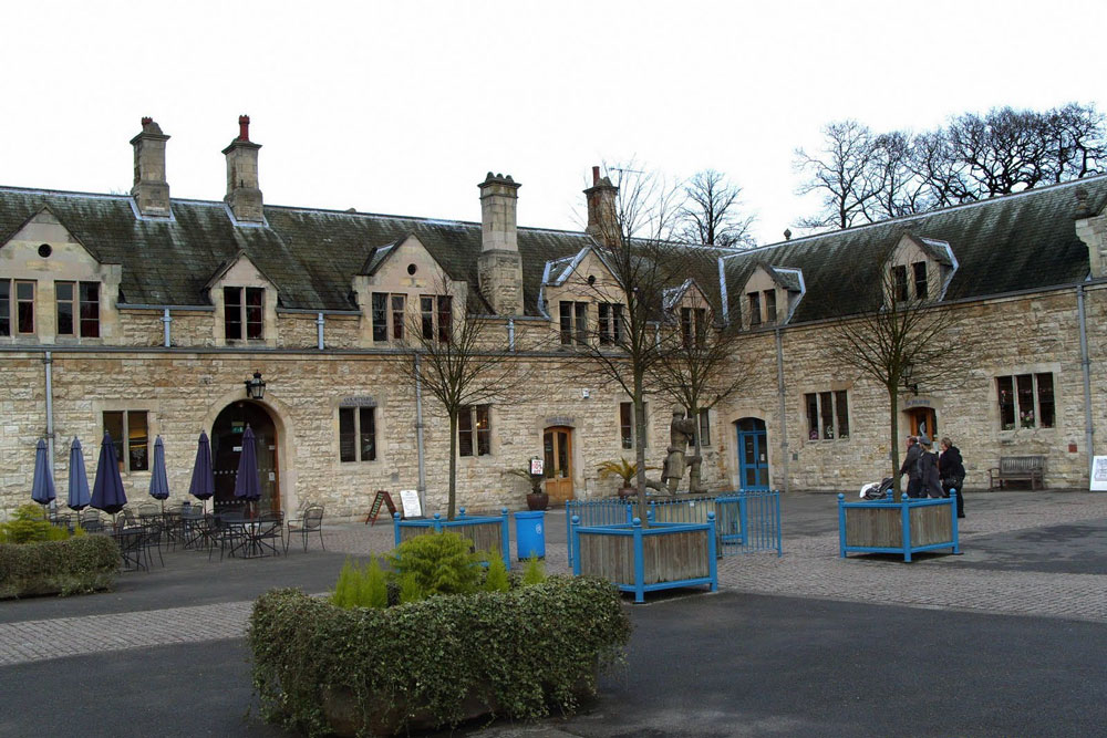
The Royal Lancers and Nottinghamshire Yeomanry Museum

The Royal Lancers & Nottinghamshire Yeomanry Museum traces the history of three old and famous cavalry regiments, the Royal Lancers, the Sherwood Rangers...

Perlethorpe cum Budby

Perlethorpe cum Budby is a civil parish in the Newark and Sherwood district, within the county of Nottinghamshire, England. The overall area had a population...
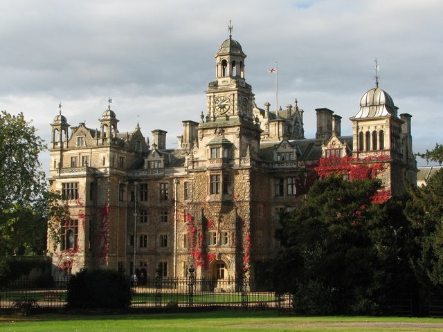
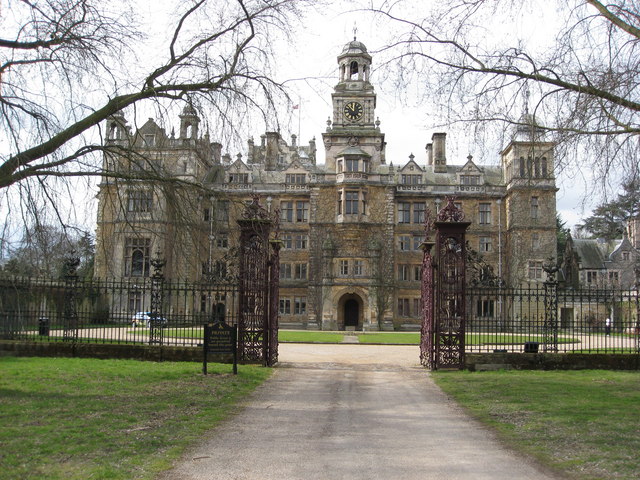
Thoresby Hall

Thoresby Hall is a grade I listed 19th-century country house in Budby, Nottinghamshire, some 2 miles (4 km) north of Ollerton. It is one of four neighbouring...
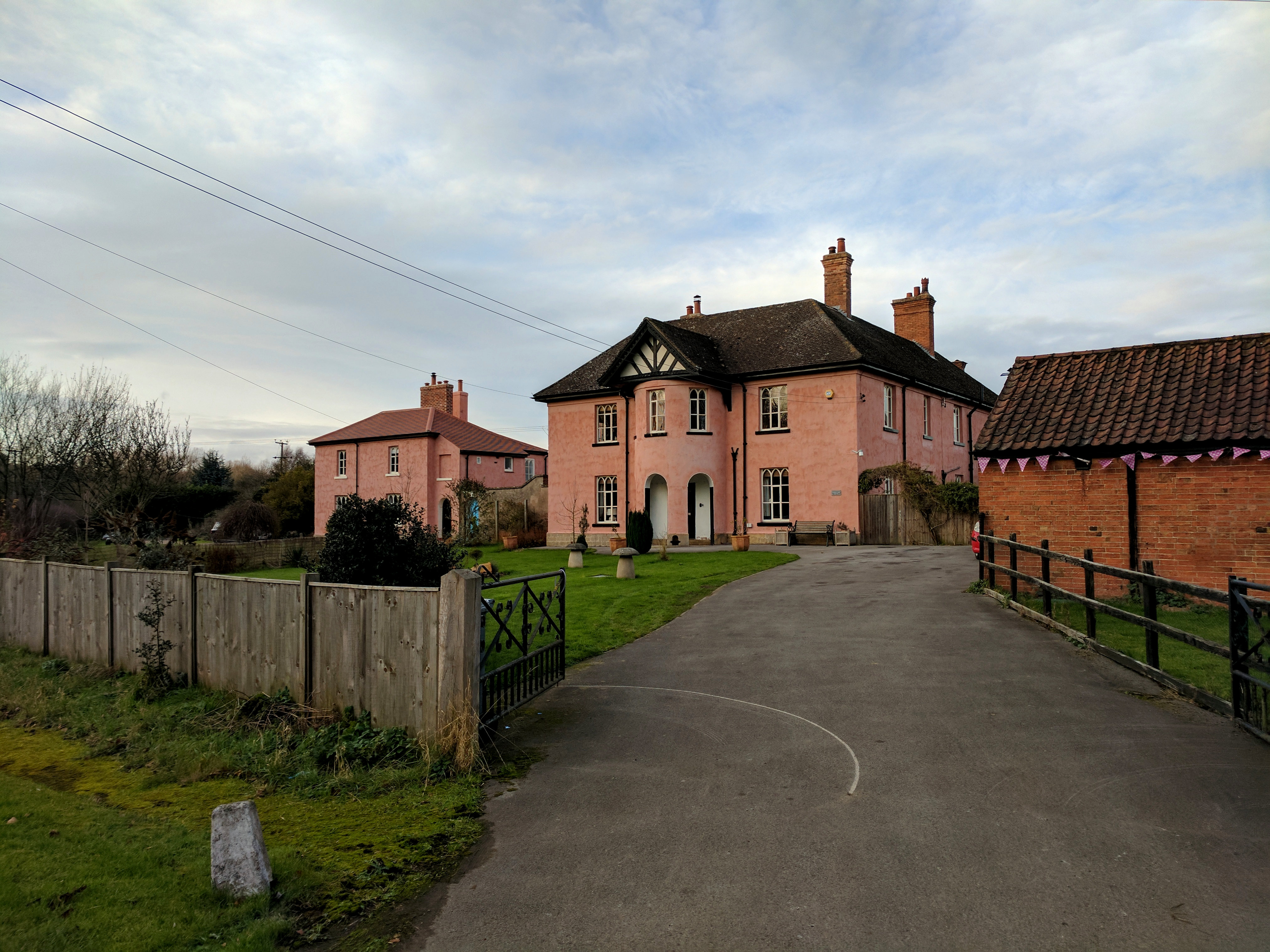
Budby

Budby is a hamlet and former civil parish, now in the parish of Perlethorpe cum Budby, in the Newark and Sherwood district, in the county of Nottinghamshire...

Have you been to Hotham Hill Wood?

Leave your review of Hotham Hill Wood below (or comments, questions and feedback).