Alder Pightle
Wood, Forest in Berkshire
England
Alder Pightle

Alder Pightle is a charming woodland area located in the county of Berkshire, England. Situated amidst the picturesque countryside, this idyllic forest is known for its dense growth of alder trees, which lend the area its name. Covering an area of approximately 50 acres, Alder Pightle offers a tranquil retreat for nature enthusiasts and outdoor lovers.
The forest boasts a diverse range of flora and fauna, with the alder trees dominating the landscape. These trees, known for their distinctive broad leaves and ability to grow in wetter environments, create a captivating canopy that provides welcome shade during the summer months. The forest floor is carpeted with an array of wildflowers, including bluebells and primroses, adding a burst of color to the surroundings.
Alder Pightle is also home to a variety of wildlife, making it a haven for animal lovers. Visitors may spot deer, foxes, and rabbits roaming freely in their natural habitat. Birdwatchers will be delighted by the presence of various avian species, such as woodpeckers, owls, and finches. Additionally, the forest is dotted with small ponds, attracting amphibians and insects.
This woodland area is a popular destination for hikers and nature walks, with several well-marked trails that wind through the forest. The peaceful ambiance and scenic beauty of Alder Pightle make it an ideal place for picnics, photography, and simply immersing oneself in the tranquility of nature.
Located just a short drive from the town of Berkshire, Alder Pightle offers a welcome respite from the hustle and bustle of everyday life, allowing visitors to reconnect with nature and enjoy the simple pleasures of a forest retreat.
If you have any feedback on the listing, please let us know in the comments section below.
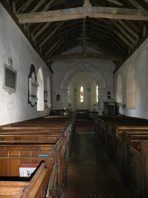
Alder Pightle Images
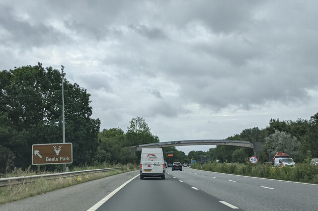
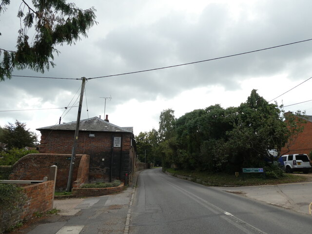
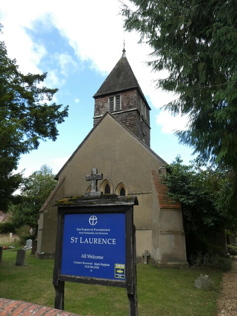
Images are sourced within 2km of 51.458753/-1.1016512 or Grid Reference SU6273. Thanks to Geograph Open Source API. All images are credited.


Alder Pightle is located at Grid Ref: SU6273 (Lat: 51.458753, Lng: -1.1016512)
Unitary Authority: West Berkshire
Police Authority: Thames Valley
What 3 Words
///skin.nearing.succumbs. Near Bradfield, Berkshire
Nearby Locations
Related Wikis

River Bourne, Berkshire
The River Bourne is a river in the English county of Berkshire. It is a tributary of the River Pang and, indirectly, of the River Thames. The Bourne's...

Moor Copse
Moor Copse is a 65-hectare (160-acre) nature reserve west of Reading in Berkshire. It is managed by the Berkshire, Buckinghamshire and Oxfordshire Wildlife...

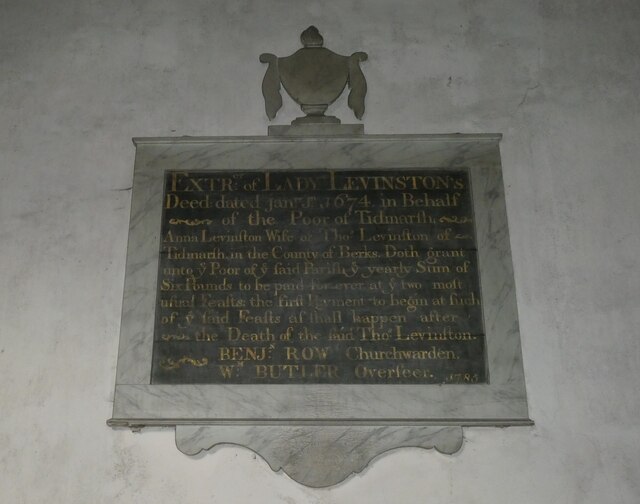
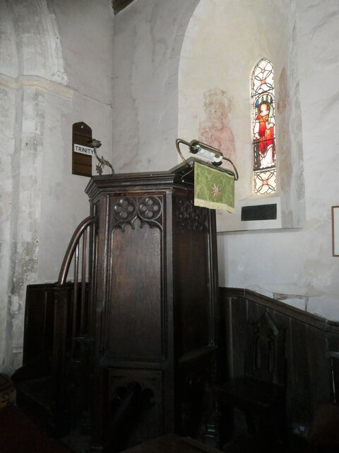
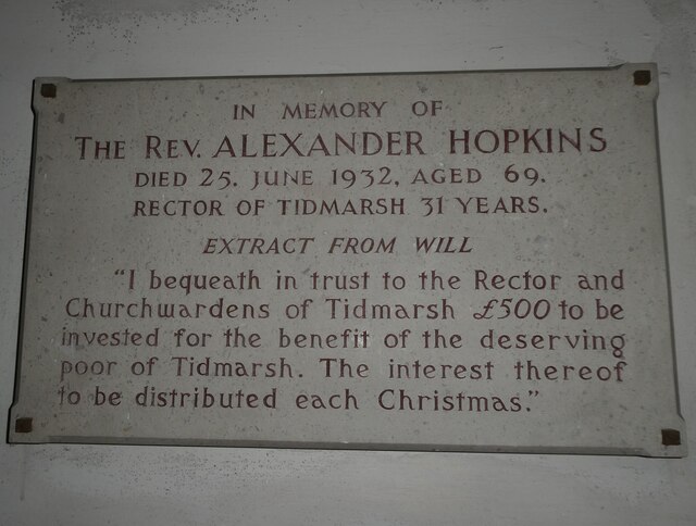
Tidmarsh
Tidmarsh is a village in West Berkshire, England. Its development is mainly residential and agricultural, and is centred on the A340 road between Pangbourne...
Sulham and Tidmarsh Woods and Meadows
Sulham and Tidmarsh Woods and Meadows is a 75.7-hectare (187-acre) biological Site of Special Scientific Interest west of Reading in Berkshire. Previously...

Tidmarsh with Sulham
Tidmarsh with Sulham is a combined parish council area in the English county of Berkshire. It covers the civil parishes of Tidmarsh and Sulham, including...

Battle of Englefield
The Battle of Englefield was a West Saxon victory against a Danish Viking army on about 31 December 870 at Englefield, near Reading in Berkshire. It was...
Englefield, Berkshire
Englefield is a village and civil parish in the English county of Berkshire. The village is mostly within the bounds of the private walled estate of Englefield...

Englefield House
Englefield House is an Elizabethan country house with surrounding estate at Englefield in the English county of Berkshire. The gardens are open to the...
Nearby Amenities
Located within 500m of 51.458753,-1.1016512Have you been to Alder Pightle?
Leave your review of Alder Pightle below (or comments, questions and feedback).