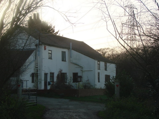
Kirkhouse Green Gorse
Wood, Forest in Yorkshire
England
Kirkhouse Green Gorse
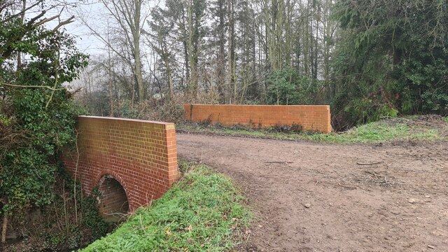
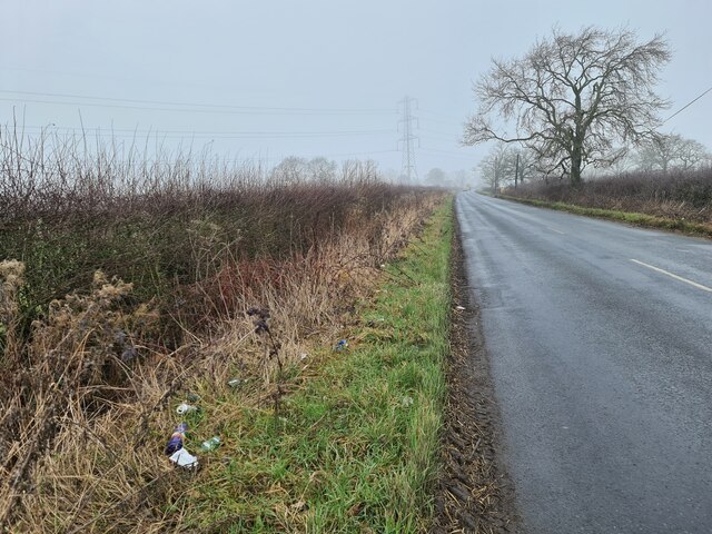
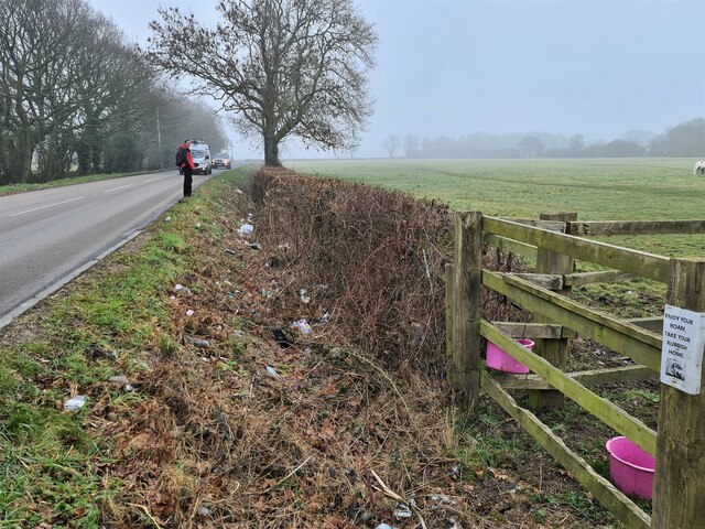
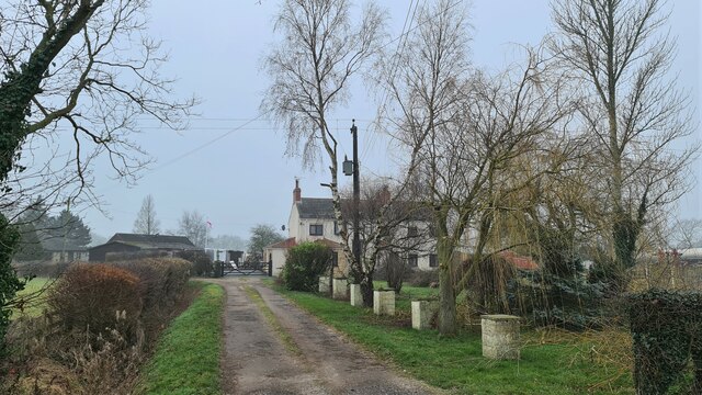
Kirkhouse Green Gorse, located in Yorkshire, is a picturesque woodland area known for its dense forest and lush greenery. Spanning over acres of land, this natural haven offers a serene and tranquil environment for nature enthusiasts and visitors alike.
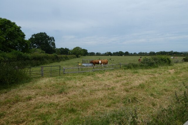
The gorse, a distinctive feature of the area, blankets the landscape with vibrant yellow blossoms, creating a stunning visual spectacle during the spring and summer months. These dense thickets also provide an important habitat for a variety of wildlife, including birds, insects, and small mammals.
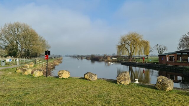
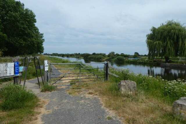
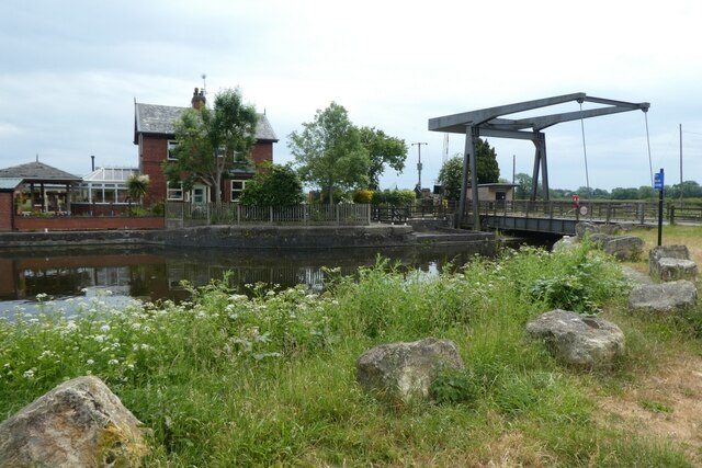
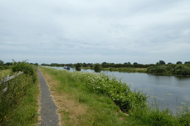
The woodland comprises a diverse range of tree species, including oak, beech, and ash, which tower majestically over the forest floor. The forest is home to numerous walking trails and paths, allowing visitors to explore and immerse themselves in the natural beauty of the surroundings. Peaceful streams meander through the woodland, adding to the tranquil ambiance and providing a source of freshwater for the local wildlife.
Kirkhouse Green Gorse offers a sanctuary for nature lovers seeking respite from the hustle and bustle of everyday life. The woodland is a popular destination for hikers, birdwatchers, and photographers, who are drawn to its natural charm and rich biodiversity.
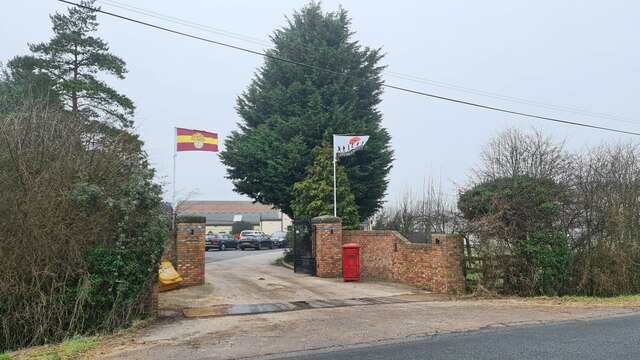
In addition to its natural beauty, the woodland also holds historical significance, with remnants of ancient settlements and archaeological sites scattered throughout the area. These archaeological finds provide insights into the rich cultural heritage of the region, adding another layer of intrigue to the woodland's appeal.
Overall, Kirkhouse Green Gorse in Yorkshire is a captivating woodland that invites visitors to connect with nature, explore its diverse flora and fauna, and enjoy the tranquil atmosphere it offers.
If you have any feedback on the listing, please let us know in the comments section below.
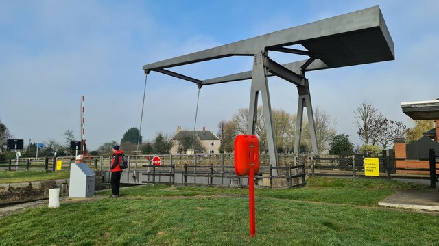
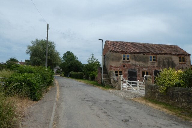
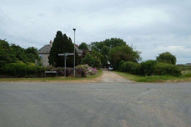
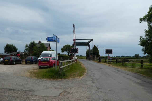
Kirkhouse Green Gorse Images
Images are sourced within 2km of 53.623063/-1.0597334 or Grid Reference SE6214. Thanks to Geograph Open Source API. All images are credited.


Kirkhouse Green Gorse is located at Grid Ref: SE6214 (Lat: 53.623063, Lng: -1.0597334)
Division: West Riding
Unitary Authority: Doncaster
Police Authority: South Yorkshire
What 3 Words
///height.visits.browsers. Near Moss, South Yorkshire
Nearby Locations
Related Wikis
Topham, South Yorkshire
Topham is a small rural hamlet upon the River Went in rural Yorkshire within the Metropolitan Borough of Doncaster in northern England. The hamlet runs...
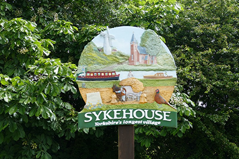
Sykehouse
Sykehouse is a village and civil parish in the City of Doncaster, South Yorkshire, England, on the border with the East Riding of Yorkshire. It was part...

Snaith and Pollington railway station
Snaith and Pollington railway station was a station on the Hull and Barnsley and Great Central Joint Railway between Sykehouse and Carlton. It was built...
Sykehouse railway station
Sykehouse railway station was a station on the Hull and Barnsley and Great Central Joint Railway between Thorpe-in-Balne and Snaith and Pollington. It...
Have you been to Kirkhouse Green Gorse?
Leave your review of Kirkhouse Green Gorse below (or comments, questions and feedback).