Cowleaze Copse
Wood, Forest in Oxfordshire South Oxfordshire
England
Cowleaze Copse
Cowleaze Copse is a picturesque woodland located in Oxfordshire, England. Covering an area of approximately 30 hectares, it is part of the Chiltern Hills, a designated Area of Outstanding Natural Beauty. The copse is situated near the village of Nuffield, about 15 kilometers northeast of the city of Oxford.
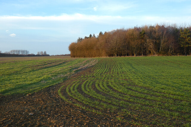
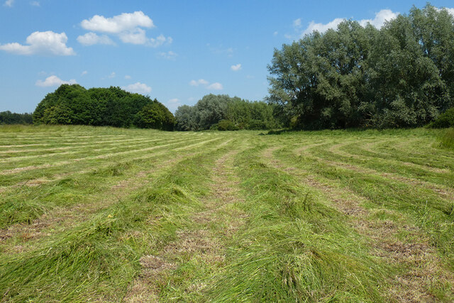
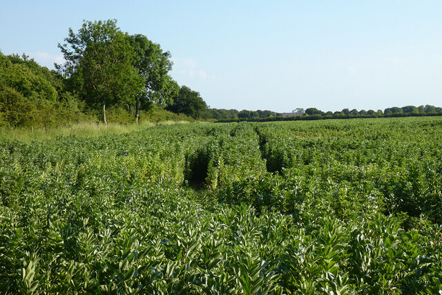
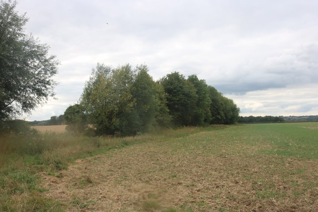
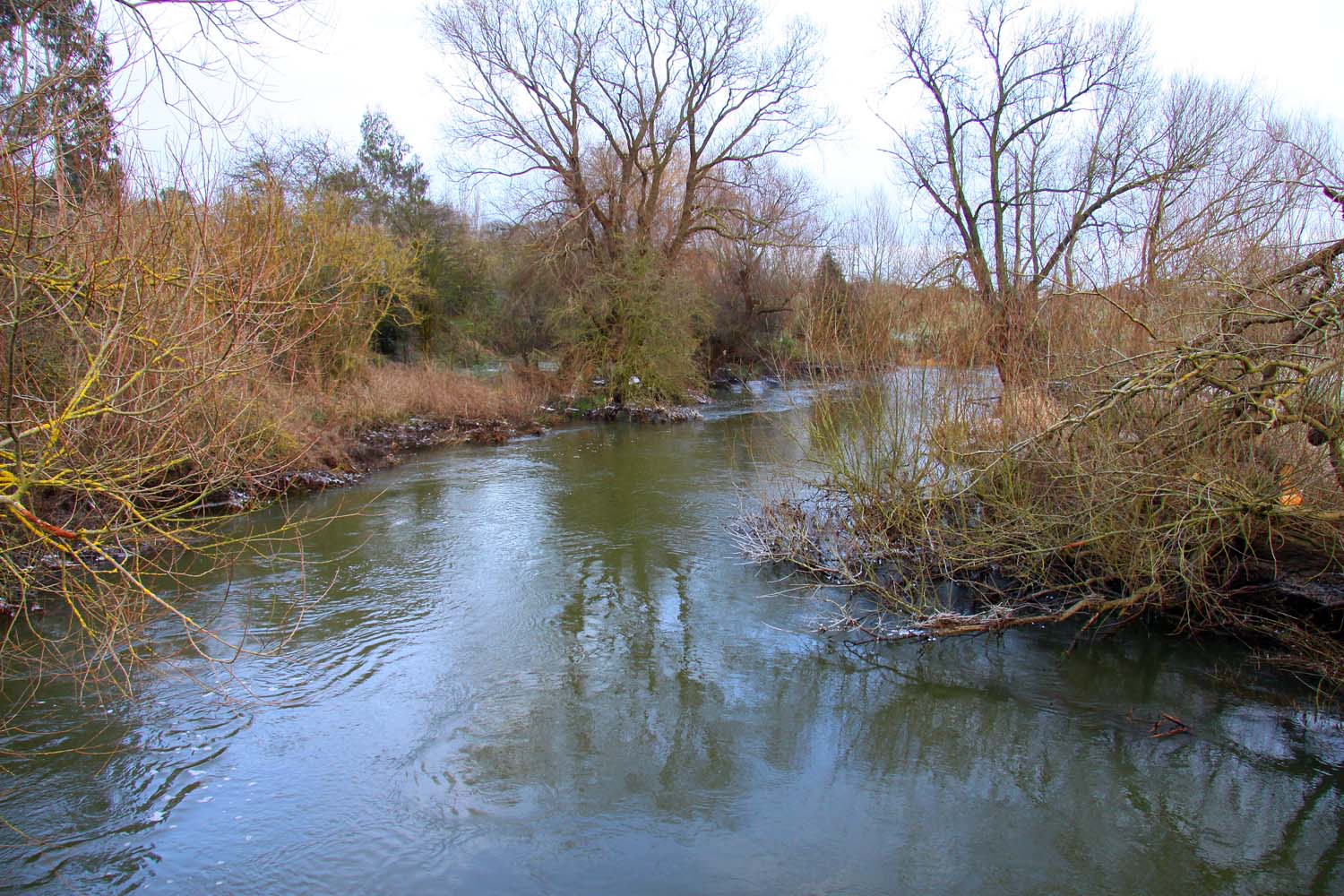
Characterized by its dense, mixed deciduous trees, Cowleaze Copse offers a tranquil escape from the bustling city life. The woodland is predominantly composed of beech trees, with occasional oak, ash, and cherry trees interspersed throughout. The canopy created by these towering trees provides shade and shelter for a variety of flora and fauna.
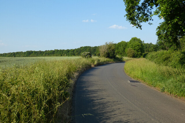
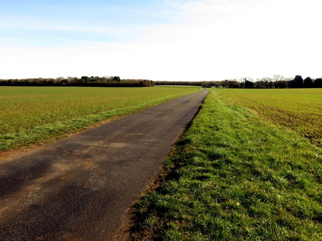
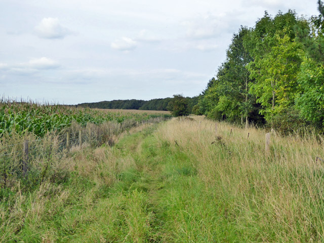
A network of footpaths weaves through the copse, allowing visitors to explore its natural beauty at their leisure. The well-maintained trails provide easy access to the woodland, making it a popular spot for walkers, joggers, and nature enthusiasts. In the spring, the forest floor is adorned with a colorful carpet of bluebells, adding to the enchanting atmosphere of the copse.
Cowleaze Copse is also home to a diverse range of wildlife. Visitors may be lucky enough to spot deer, foxes, and various bird species such as woodpeckers and owls. The copse provides a vital habitat for these creatures, offering them food, shelter, and protection.
Overall, Cowleaze Copse in Oxfordshire is a beautiful woodland retreat that showcases the natural splendor of the Chiltern Hills. With its ancient trees, scenic footpaths, and abundance of wildlife, it is a haven for nature lovers and a peaceful oasis for all who visit.
If you have any feedback on the listing, please let us know in the comments section below.
Cowleaze Copse Images
Images are sourced within 2km of 51.688019/-1.1025752 or Grid Reference SU6299. Thanks to Geograph Open Source API. All images are credited.


Cowleaze Copse is located at Grid Ref: SU6299 (Lat: 51.688019, Lng: -1.1025752)
Administrative County: Oxfordshire
District: South Oxfordshire
Police Authority: Thames Valley
What 3 Words
///resembles.tickling.valued. Near Chalgrove, Oxfordshire
Nearby Locations
Related Wikis

Ascott, Oxfordshire
Ascott is a hamlet and manor house in the English county of Oxfordshire. Ascott lies close to the River Thame north of Dorchester, around about 7 miles...
Little Milton, Oxfordshire
Little Milton is a village and civil parish in Oxfordshire, about 6 miles (10 km) southwest of Thame and 7 miles (11 km) southeast of Oxford. The parish...
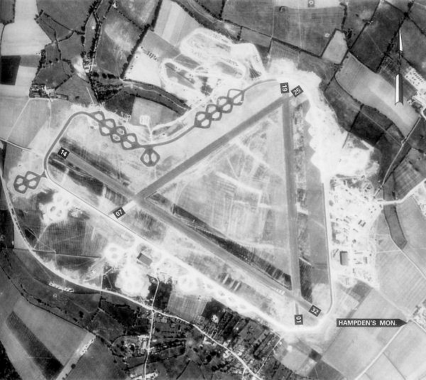
Chalgrove Airfield
Chalgrove Airfield (ICAO: EGLJ) is a former Second World War airfield in Oxfordshire, England. It is approximately 3 mi (4.8 km) north-northeast of Benson...
Wells Farm
Wells Farm is a 64-hectare (160-acre) nature reserve on the eastern outskirts of Little Milton in Oxfordshire. It is managed by the Berkshire, Buckinghamshire...
Stadhampton
Stadhampton is a village and civil parish about 7 miles (11 km) southeast of Oxford in South Oxfordshire, England. Stadhampton is close to the River Thame...
Brookhampton, Oxfordshire
Brookhampton is a hamlet in the village and civil parish of Stadhampton, 5 miles (8.0 km) north of Wallingford, in South Oxfordshire, England.
Chiselhampton
Chiselhampton is a village in the civil parish of Stadhampton, on the River Thame, in the South Oxfordshire district, in the county of Oxfordshire, England...
Chippinghurst Manor
Chippinghurst Manor is a Grade II listed country house in Oxfordshire, England.The name of "Chippinghurst" manor means "the hill of Cibba" and appeared...
Nearby Amenities
Located within 500m of 51.688019,-1.1025752Have you been to Cowleaze Copse?
Leave your review of Cowleaze Copse below (or comments, questions and feedback).