Hartslock Wood
Wood, Forest in Oxfordshire South Oxfordshire
England
Hartslock Wood
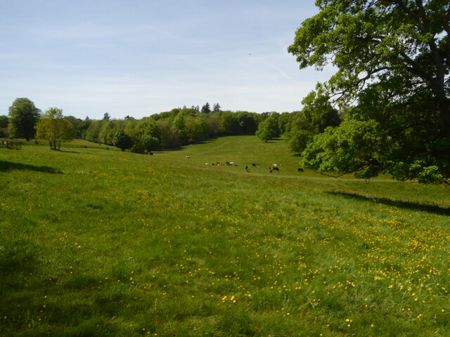
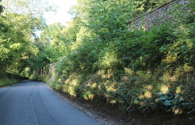
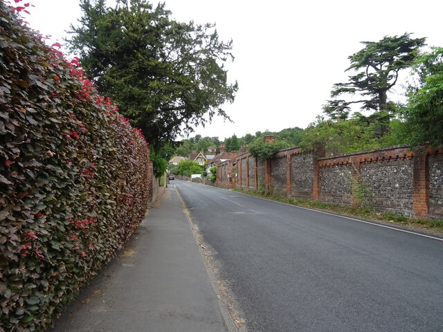
Hartslock Wood is a small but enchanting woodland located in the county of Oxfordshire, England. Nestled on the slopes of the Chiltern Hills, it covers an area of approximately 46 hectares. The wood is predominantly made up of beech trees, with patches of ash, oak, and cherry trees interspersed throughout.
One of the key attractions of Hartslock Wood is its diverse flora and fauna. In spring, the forest floor is adorned with a stunning display of bluebells, creating a vibrant carpet of color. The wood is also home to a variety of wildflowers, including orchids, primroses, and violets. These floral displays attract numerous butterflies and other insects, making it a haven for nature enthusiasts and photographers.
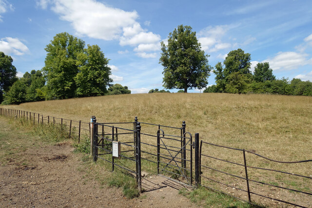
Hartslock Wood is also renowned for its unique geological features. The hillside is composed of chalk, leading to the presence of rare chalk grassland habitats. These grasslands support a range of uncommon plant species, such as the endangered monkey orchid and the early spider orchid. The wood is a designated Site of Special Scientific Interest (SSSI) due to its ecological significance.
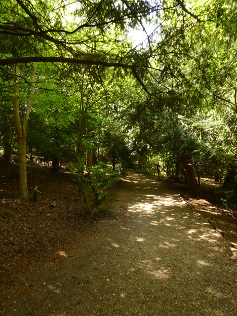
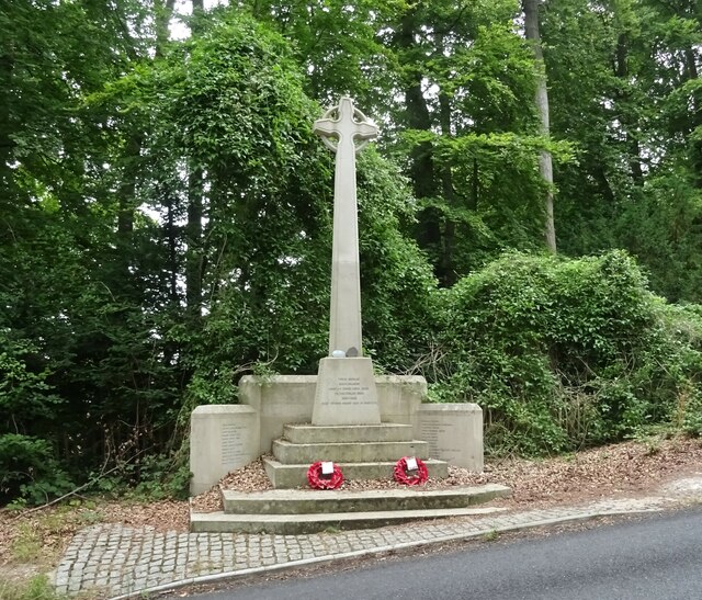
The woodland is popular among walkers and hikers, with several well-marked trails winding through its picturesque landscape. The Chiltern Way, a long-distance footpath, passes through Hartslock Wood, providing visitors with the opportunity to explore the surrounding countryside.
Overall, Hartslock Wood offers a tranquil and captivating experience for nature lovers, combining breathtaking scenery, diverse wildlife, and unique geological features.
If you have any feedback on the listing, please let us know in the comments section below.
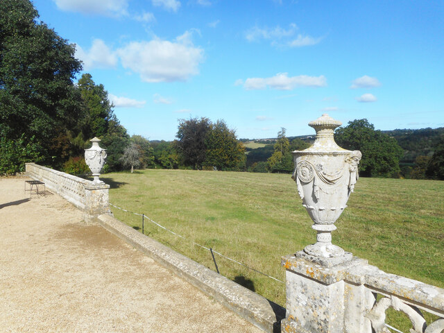
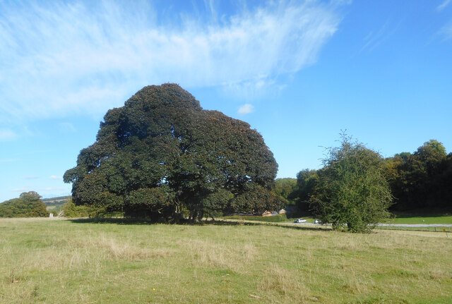
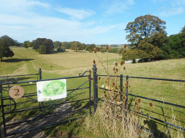
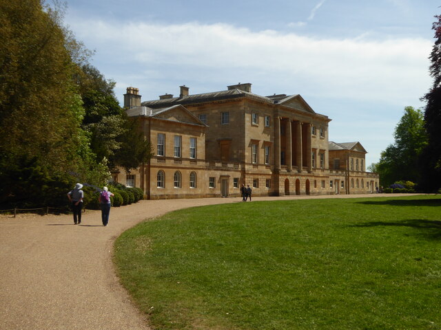
Hartslock Wood Images
Images are sourced within 2km of 51.503844/-1.1071621 or Grid Reference SU6278. Thanks to Geograph Open Source API. All images are credited.


Hartslock Wood is located at Grid Ref: SU6278 (Lat: 51.503844, Lng: -1.1071621)
Administrative County: Oxfordshire
District: South Oxfordshire
Police Authority: Thames Valley
What 3 Words
///consoled.uptown.position. Near Pangbourne, Berkshire
Related Wikis

Hartslock
Hartslock, also known as Hartslock Woods, is a 41.8-hectare (103-acre) biological Site of Special Scientific Interest (SSSI) in a wooded area on the north...

Beale Wildlife Park
Beale Wildlife Park is situated by the River Thames, between the villages of Pangbourne and Lower Basildon in Berkshire, England. It has three main areas...
A329 road
The A329 is an east–west road in Southern England that runs from Wentworth in Surrey to Thame in Oxfordshire. == Route == The A329 starts at the A30 in...
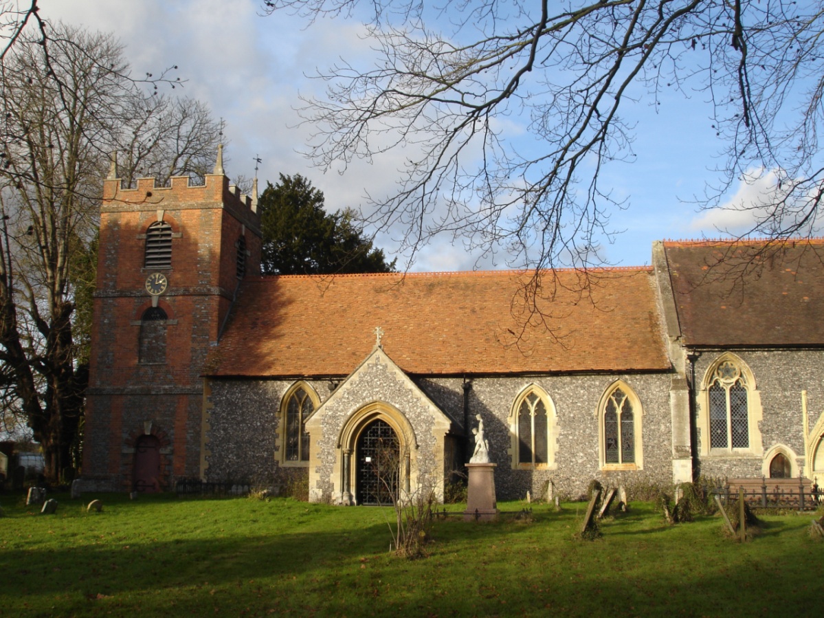
St Bartholomew's Church, Lower Basildon
St Bartholomew's Church is the redundant Church of England parish church of Basildon in the English county of Berkshire. It lies in the hamlet of Lower...
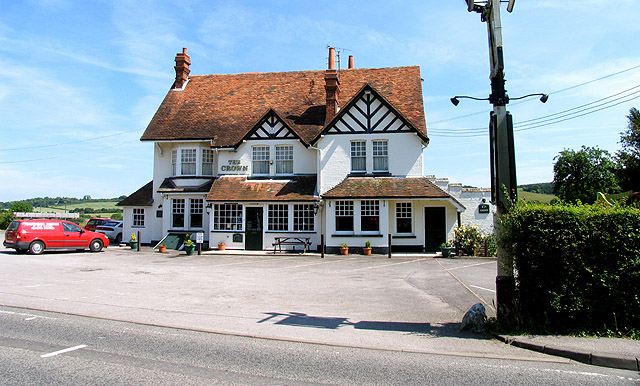
Lower Basildon
Lower Basildon is a small English village in the civil parish of Basildon, near Pangbourne, in the county of Berkshire. == Amenities == === Shops and... ===

Basildon Park
Basildon Park is a country house situated 2 miles (3 kilometres) south of Goring-on-Thames and Streatley in Berkshire, between the villages of Upper Basildon...

Goring Rural District
Goring was a rural district in Oxfordshire, England from 1894 to 1932. It was formed from that part of the Bradfield rural sanitary district which was...
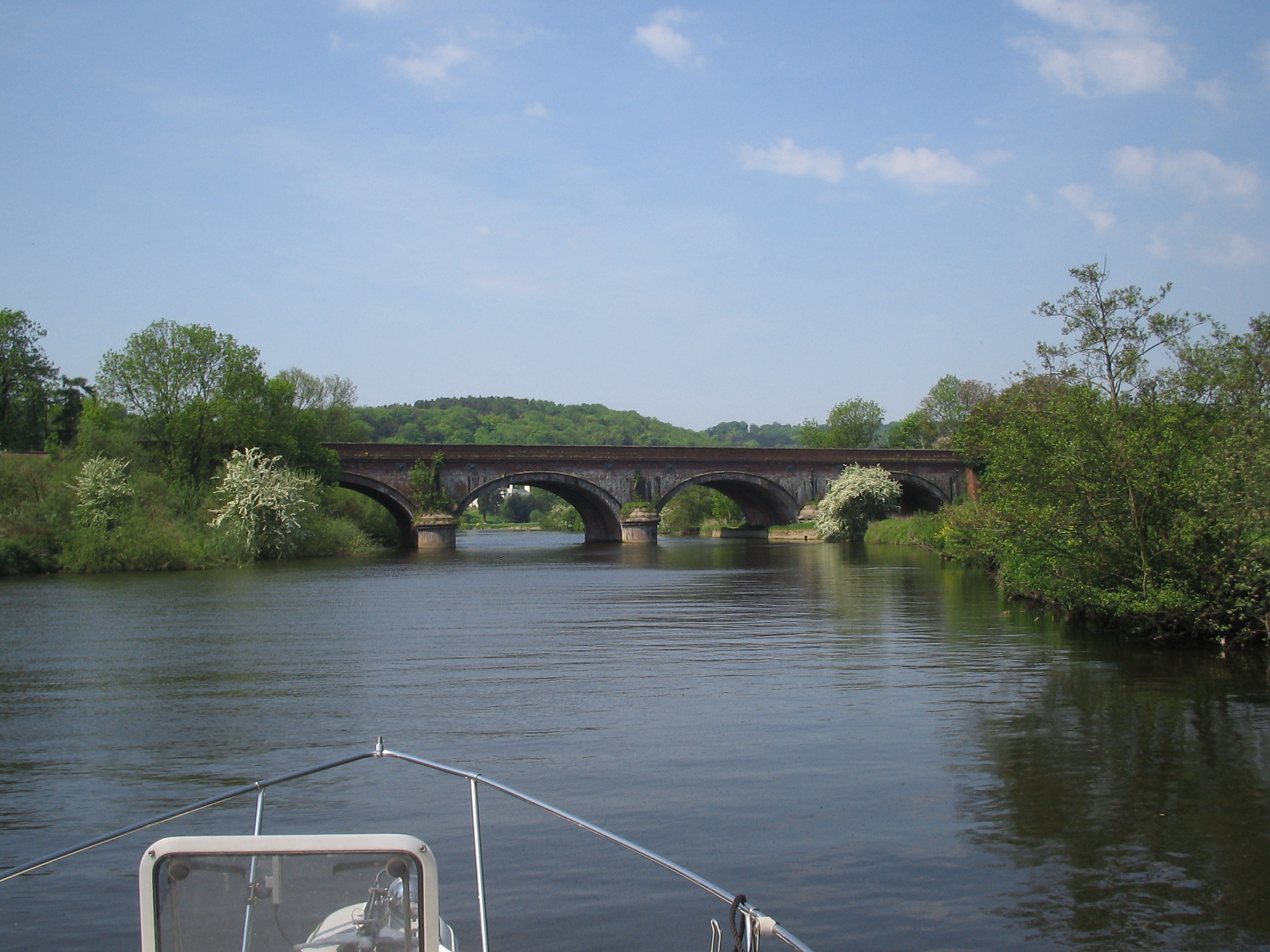
Gatehampton Railway Bridge
Gatehampton Railway Bridge, otherwise referred to as Gatehampton Viaduct, is a railway bridge carrying the Great Western Main Line over the River Thames...
Nearby Amenities
Located within 500m of 51.503844,-1.1071621Have you been to Hartslock Wood?
Leave your review of Hartslock Wood below (or comments, questions and feedback).