Nanpie Shaw
Wood, Forest in Berkshire
England
Nanpie Shaw
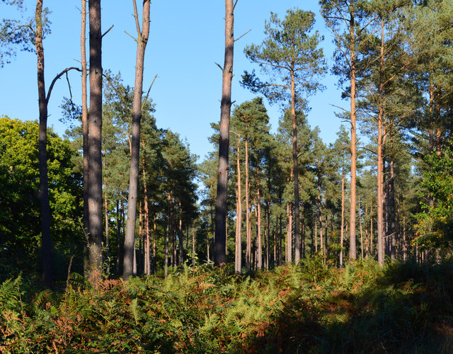
Nanpie Shaw, located in Berkshire, England, is a picturesque woodland area known for its natural beauty and serene atmosphere. Situated in the heart of the county, Nanpie Shaw is a popular destination for nature lovers, hikers, and wildlife enthusiasts alike.
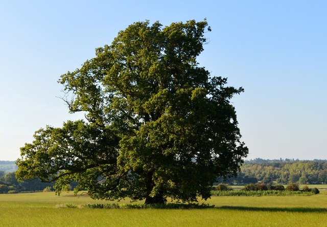
Covering a vast area of dense woodland, Nanpie Shaw is home to a diverse range of flora and fauna. The wood is predominantly populated by ancient oak and beech trees, creating a dense canopy that provides shelter for a variety of wildlife species. Visitors can expect to encounter an array of bird species, such as woodpeckers and owls, as well as small mammals like squirrels and rabbits.
The woodland is crisscrossed by a network of well-maintained walking trails, making it an ideal location for leisurely strolls or more adventurous hikes. These trails offer visitors the opportunity to explore the natural beauty of the area at their own pace, with scenic viewpoints and peaceful clearing serving as perfect spots for relaxation and picnics.
Nanpie Shaw is also steeped in local history, with remnants of ancient settlements and burial mounds scattered throughout the woodland. Archaeological finds from the area have revealed evidence of human habitation dating back thousands of years, providing a fascinating insight into the region's past.
Overall, Nanpie Shaw is a tranquil and enchanting woodland destination, offering visitors a chance to connect with nature, immerse themselves in the region's rich history, and escape the hustle and bustle of everyday life.
If you have any feedback on the listing, please let us know in the comments section below.
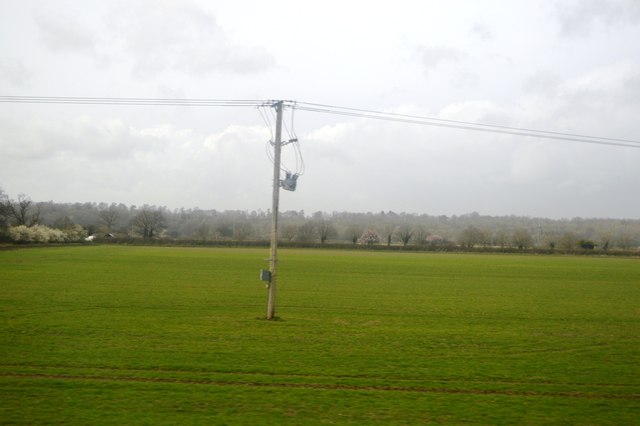
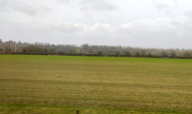
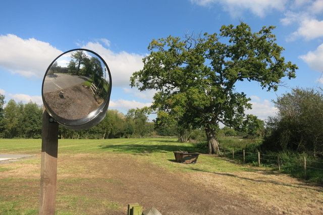
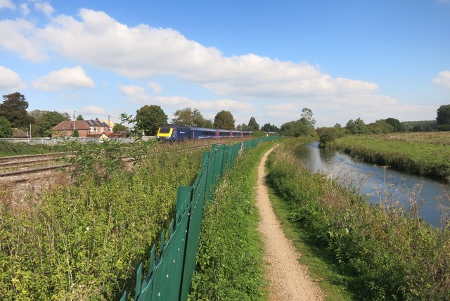
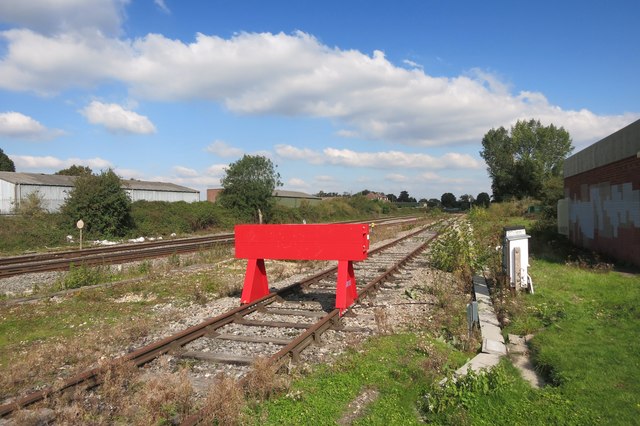
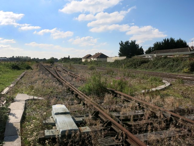
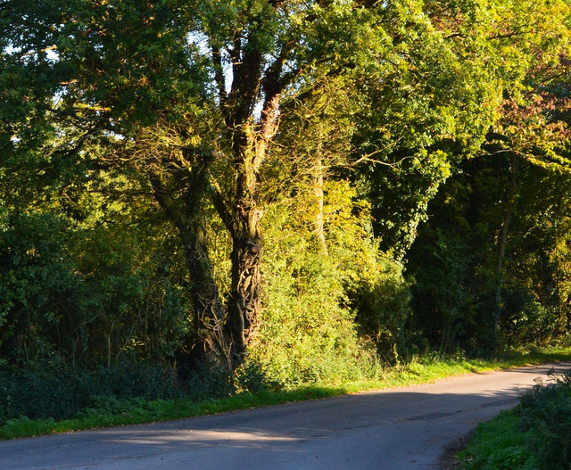
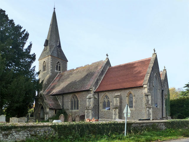
Nanpie Shaw Images
Images are sourced within 2km of 51.40645/-1.1101092 or Grid Reference SU6167. Thanks to Geograph Open Source API. All images are credited.


Nanpie Shaw is located at Grid Ref: SU6167 (Lat: 51.40645, Lng: -1.1101092)
Unitary Authority: West Berkshire
Police Authority: Thames Valley
What 3 Words
///obstinate.helped.vivid. Near Theale, Berkshire
Nearby Locations
Related Wikis
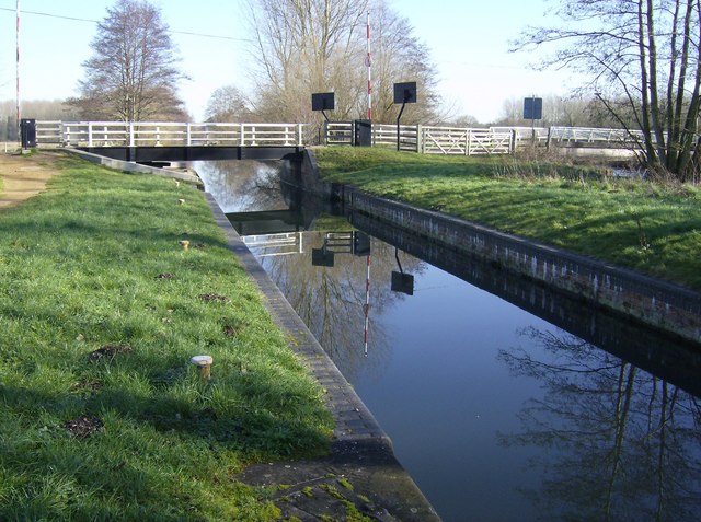
Ufton Lock
Ufton Lock is a degated lock on the Kennet and Avon Canal, between Padworth and Sulhamstead, Berkshire, England. == History == Ufton Lock was built in...

Ufton Nervet rail crash
The Ufton Nervet rail crash occurred on 6 November 2004 when a passenger train collided with a stationary car on a level crossing on the Reading–Taunton...

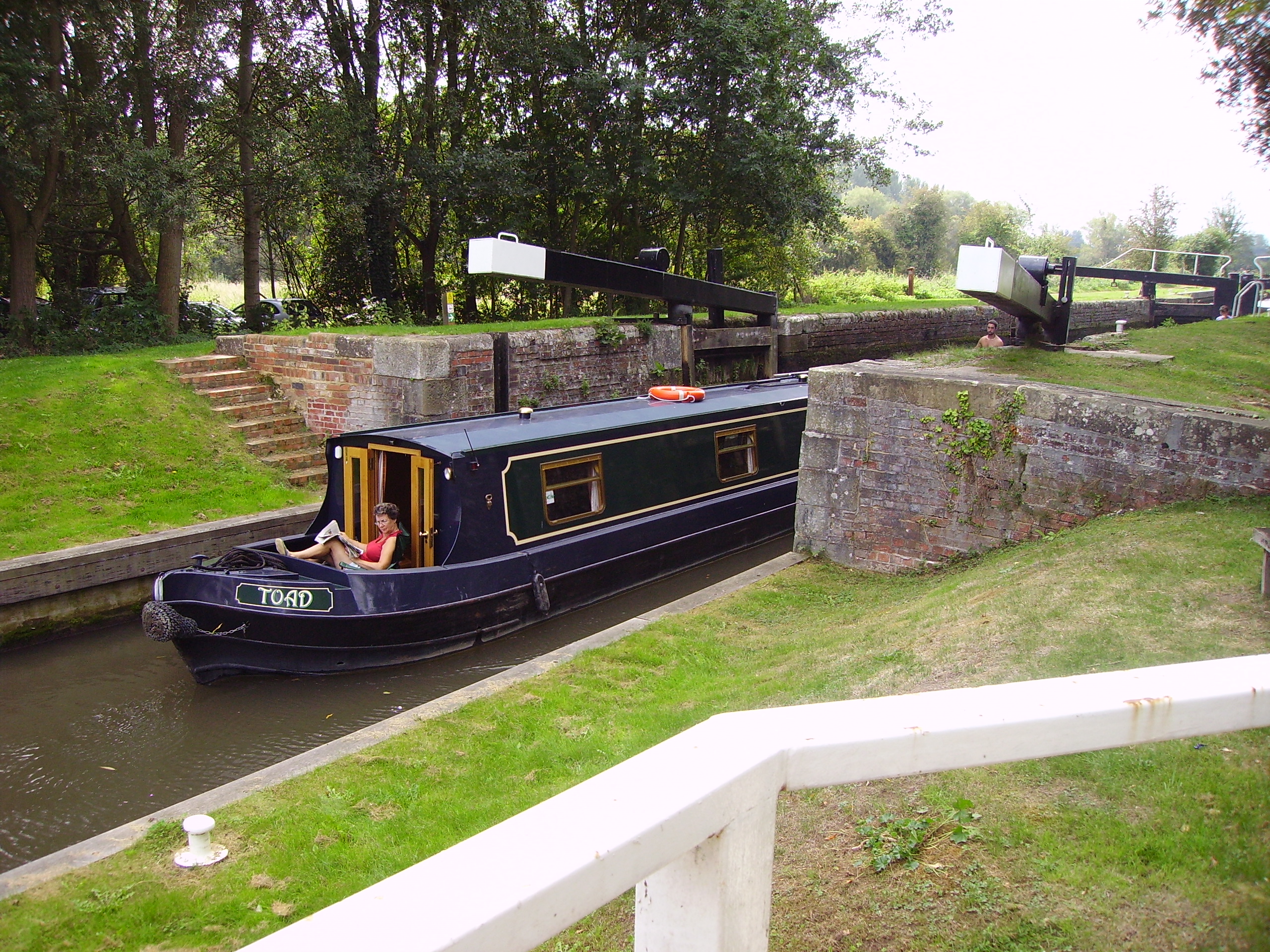
Towney Lock
Towney Lock is a lock on the Kennet and Avon Canal, between Aldermaston Wharf and Sulhamstead, Berkshire, England. Towney Lock was built between 1718 and...
Tyle Mill Lock
Tyle Mill Lock (grid reference SU626691) is a lock situated near Tyle Mill and the village of Sulhamstead on the Kennet and Avon Canal, England. Tyle Mill...
Nearby Amenities
Located within 500m of 51.40645,-1.1101092Have you been to Nanpie Shaw?
Leave your review of Nanpie Shaw below (or comments, questions and feedback).