Beggars Bridge Green
Wood, Forest in Hampshire Basingstoke and Deane
England
Beggars Bridge Green

Beggars Bridge Green is a picturesque woodland located in Hampshire, England. Nestled within the heart of the county, this green oasis is a haven for nature enthusiasts and those seeking a tranquil escape from the hustle and bustle of city life.
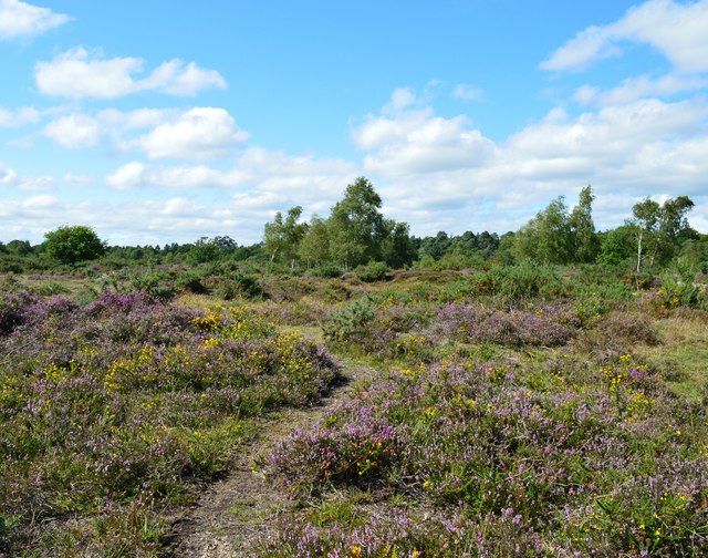
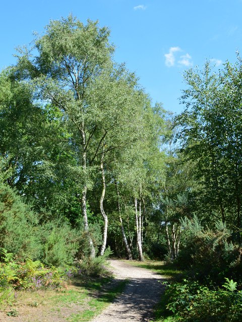
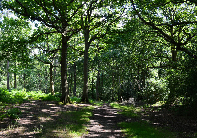
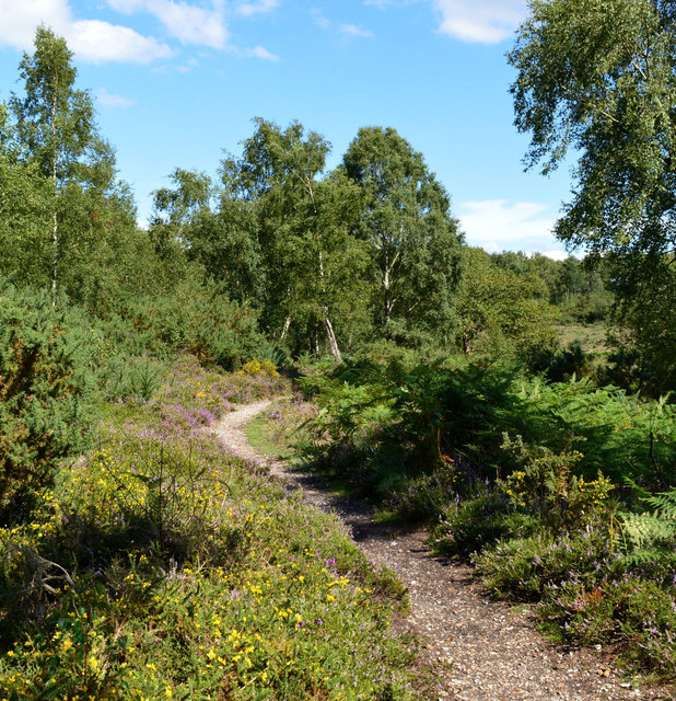
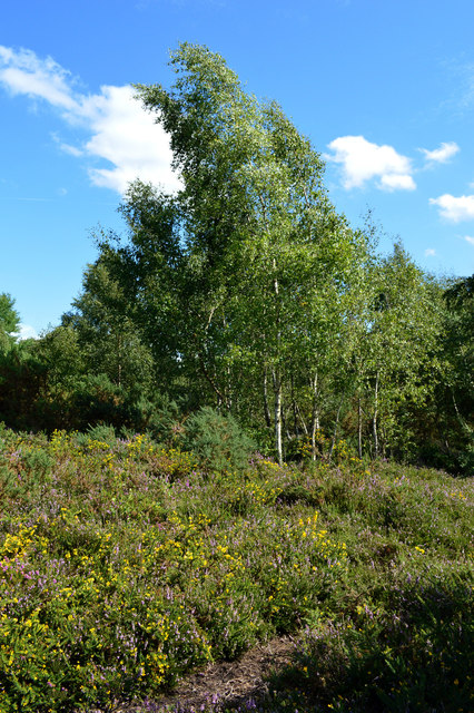
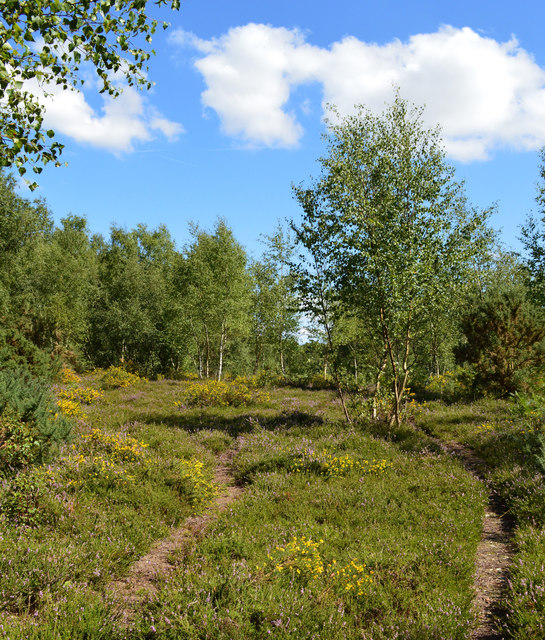
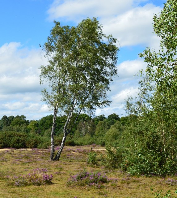
The woodland is characterized by its dense canopy of towering trees, predominantly consisting of oak, beech, and birch. This lush vegetation provides a rich habitat for a diverse array of wildlife, including deer, foxes, and a variety of bird species. The forest floor is adorned with carpets of bluebells in the spring, adding a vibrant burst of color to the landscape.
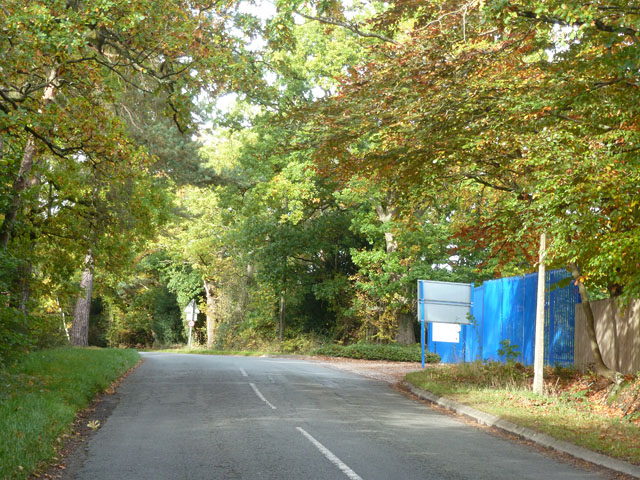
Traversing the woodland is a network of well-maintained footpaths, allowing visitors to explore the area and discover its hidden gems. Beggars Bridge Green is particularly popular among walkers and hikers, who can enjoy the peaceful serenity of the forest while immersing themselves in its natural beauty.
The green is named after the historic Beggars Bridge, a charming stone bridge that spans a small stream within the woodland. The bridge dates back to the 18th century and is steeped in folklore, with tales of a local beggar who, unable to pay the toll to cross the stream, was granted a bridge by a kind-hearted landowner. Today, the bridge serves as a focal point and a reminder of the area's rich history.
Beggars Bridge Green is a true gem of Hampshire, offering a delightful escape into nature and a chance to connect with the region's natural heritage. Whether it's a leisurely stroll, a picnic, or simply a moment of solitude, this woodland sanctuary has something to offer everyone.
If you have any feedback on the listing, please let us know in the comments section below.
Beggars Bridge Green Images
Images are sourced within 2km of 51.350133/-1.1124351 or Grid Reference SU6161. Thanks to Geograph Open Source API. All images are credited.


Beggars Bridge Green is located at Grid Ref: SU6161 (Lat: 51.350133, Lng: -1.1124351)
Administrative County: Hampshire
District: Basingstoke and Deane
Police Authority: Hampshire
What 3 Words
///lift.metals.sweetener. Near Tadley, Hampshire
Related Wikis

Pamber Forest and Silchester Common
Pamber Forest and Silchester Common is a 341.7-hectare (844-acre) biological Site of Special Scientific Interest in Tadley in Hampshire. Pamber Forest...
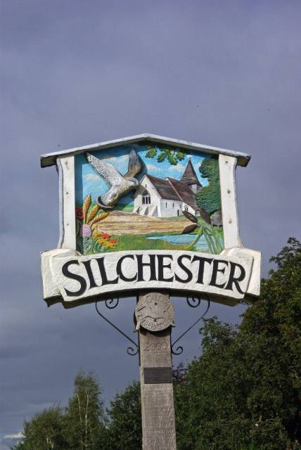
Silchester
Silchester is a village and civil parish about 5 miles (8 km) north of Basingstoke in Hampshire. It is adjacent to the county boundary with Berkshire and...

Pamber Heath
Pamber Heath is a village in north Hampshire, England. Situated within the civil parish of Pamber, the village lies at the north end of Pamber Forest...
Silchester House
Silchester House is a Victorian mansion located in Silchester, England on the Hampshire and Berkshire border. The west wing of the house dates back to...

Aldermaston Soke
Aldermaston Soke is a hamlet that lies on the county boundary between Berkshire and Hampshire, and is administratively part of the civil parish of Mortimer...

The Frith
The Frith is a small univallate Iron Age hillfort to the north of Silchester, Calleva Atrebatum, Roman town in the English county of Hampshire. A single...

Tadley
Tadley is a town and civil parish in the English county of Hampshire. During the 1950s and 1960s, the Atomic Weapons Research Establishment (AWRE), now...

Decoy Pit, Pools and Woods
Decoy Pit, Pools and Woods is a 17.7-hectare (44-acre) biological Site of Special Scientific Interest south of Aldermaston in Berkshire. An area of 8 hectares...
Nearby Amenities
Located within 500m of 51.350133,-1.1124351Have you been to Beggars Bridge Green?
Leave your review of Beggars Bridge Green below (or comments, questions and feedback).