Ash Holt
Wood, Forest in Nottinghamshire Bassetlaw
England
Ash Holt

Ash Holt is a small village located in Nottinghamshire, England. It is situated in the district of Bassetlaw, approximately 10 miles north of the town of Retford. The village is nestled within a dense woodland area known as Ash Holt Wood, which covers a significant portion of the surrounding landscape.
The area is renowned for its picturesque views and tranquil atmosphere, making it an ideal destination for nature lovers and outdoor enthusiasts. Ash Holt Wood is home to a diverse range of flora and fauna, including ancient oak trees, bluebells, and various bird species. The woodland provides ample opportunities for walking, hiking, and wildlife spotting, attracting visitors from near and far.
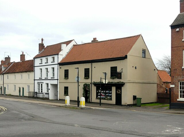
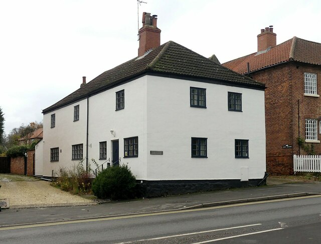
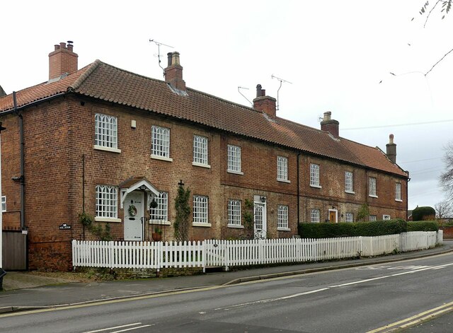
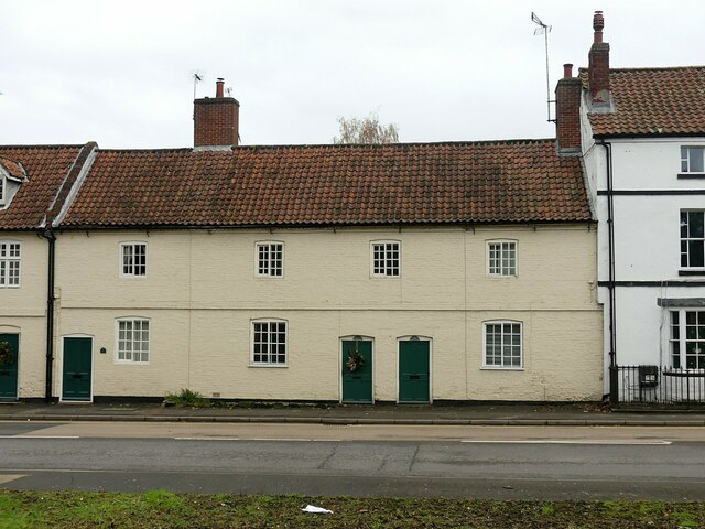
The village itself is small, with a close-knit community. It consists of a handful of quaint cottages and houses, giving it a rural charm. The residents take great pride in their village and work together to maintain its natural beauty. There are no shops or amenities within the immediate vicinity, but the nearby town of Retford offers a range of services for daily needs.
Ash Holt is well-connected to surrounding areas by road, with the A1 and A638 both easily accessible. This makes it convenient for residents to commute to nearby towns and cities for work or leisure activities. The village also benefits from good transport links, with regular bus services connecting it to Retford and other nearby villages.
Overall, Ash Holt, Nottinghamshire offers a peaceful and idyllic setting, making it an attractive destination for those seeking a rural retreat amidst beautiful woodland surroundings.
If you have any feedback on the listing, please let us know in the comments section below.
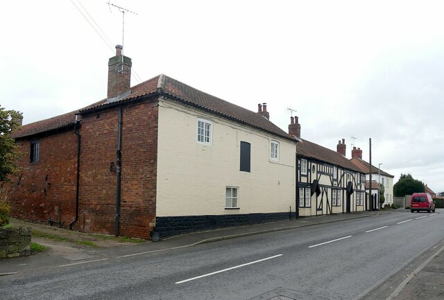
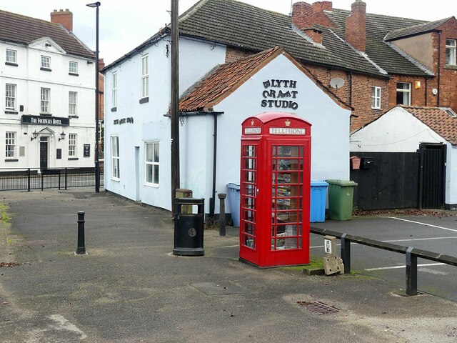
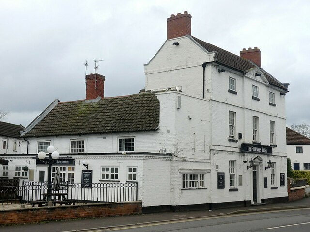
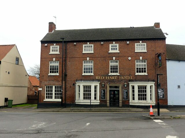
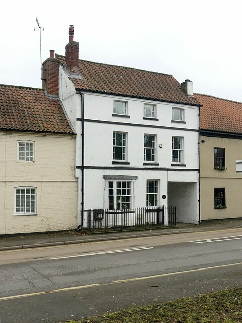
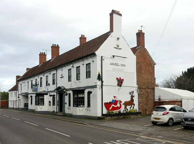
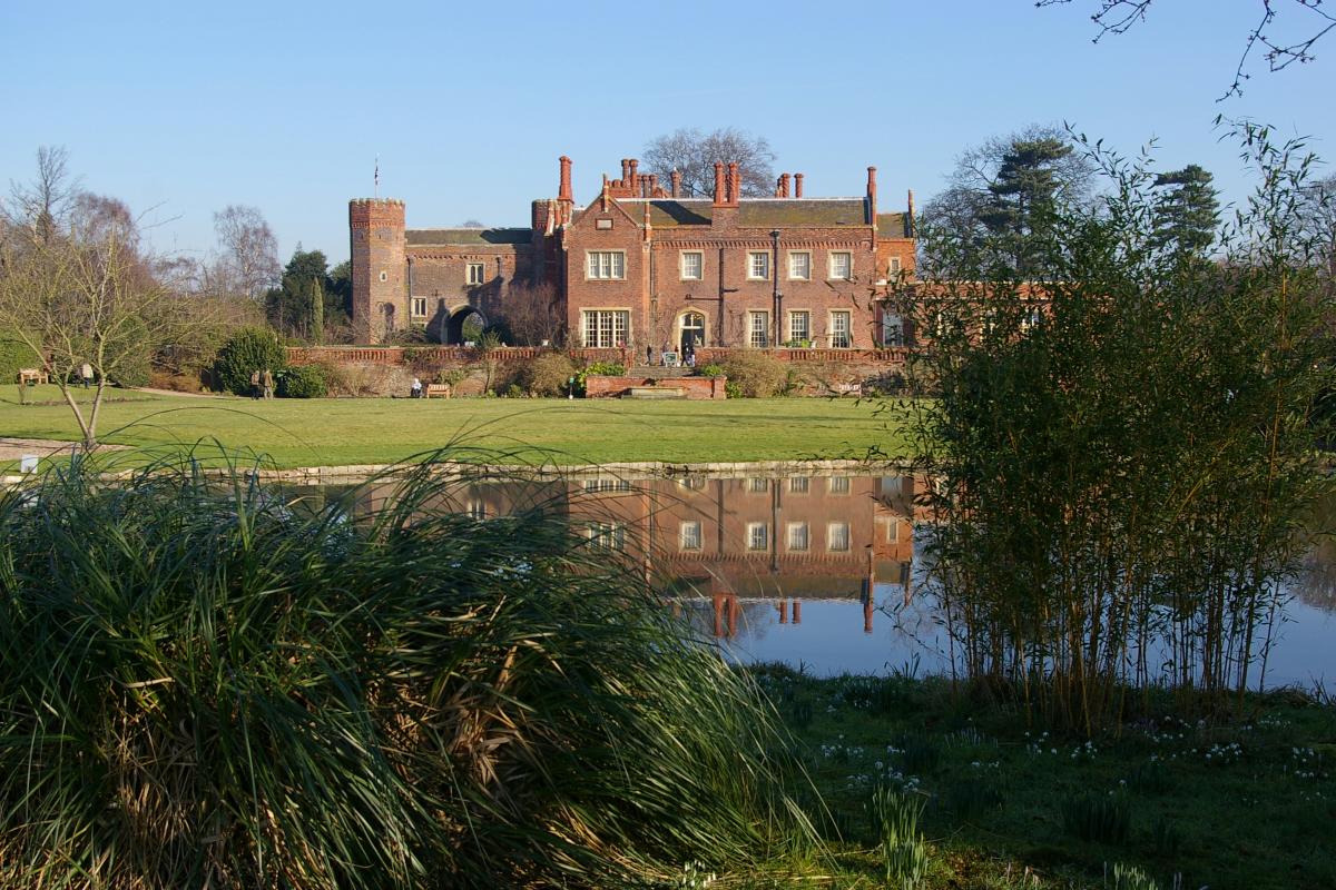
Ash Holt Images
Images are sourced within 2km of 53.370799/-1.0719699 or Grid Reference SK6186. Thanks to Geograph Open Source API. All images are credited.


Ash Holt is located at Grid Ref: SK6186 (Lat: 53.370799, Lng: -1.0719699)
Administrative County: Nottinghamshire
District: Bassetlaw
Police Authority: Nottinghamshire
What 3 Words
///surpasses.transfers.spike. Near Ranskill, Nottinghamshire
Related Wikis

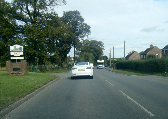
Blyth, Nottinghamshire
Blyth is a village and civil parish in the Bassetlaw district of the county of Nottinghamshire, in the East Midlands, north west of East Retford, on the...

Blyth Priory
Blyth Priory was a priory in Nottinghamshire, England, dedicated to St Mary the Virgin. == History == Blyth Priory was founded in 1088 by Roger de Busli...

Hodsock
Hodsock is a settlement and civil parish about 4 miles from Worksop, in the Bassetlaw district, in the county of Nottinghamshire, England. The parish includes...
Hodsock Priory
Hodsock Priory is an English country house in Hodsock, Nottinghamshire, 4 miles (6.4 km) north of Worksop, England, and 1 mile (1.6 km) south of Blyth...
St Mary and St Martin's Church, Blyth
St. Mary and St. Martin's Church, Blyth, is a Grade I listed parish church in Blyth, Nottinghamshire, England. == Priory == The priory of St. Mary and...

Oldcotes Dyke
Oldcotes Dyke is the name of the final section of a river system that drains parts of north Nottinghamshire and the Metropolitan Borough of Rotherham in...

Worksop Rural District
Worksop (previously Blyth and Cuckney) was a Rural District in Nottinghamshire, England. It originated as Worksop Rural Sanitary District in 1872. In...

Costhorpe
Costhorpe is a hamlet in the civil parish of Carlton in Lindrick, in the Bassetlaw district in Nottinghamshire, England. It is to the north of Worksop...
Nearby Amenities
Located within 500m of 53.370799,-1.0719699Have you been to Ash Holt?
Leave your review of Ash Holt below (or comments, questions and feedback).