Bales Wood
Wood, Forest in Yorkshire Selby
England
Bales Wood

Bales Wood is a picturesque woodland located in the county of Yorkshire in northern England. Situated within the larger Forest of Yorkshire, it spans an area of approximately 500 acres, making it one of the largest woodlands in the region.
The wood is characterized by its diverse range of tree species, including oak, beech, birch, and ash, which create a rich and vibrant canopy throughout the year. The forest floor is covered with a thick blanket of moss, ferns, and wildflowers, providing a lush undergrowth that supports a variety of wildlife.
Bales Wood is known for its tranquil atmosphere and is a popular destination for nature enthusiasts and hikers. The wood is crisscrossed by a network of well-maintained walking trails, allowing visitors to explore its hidden corners and discover its natural beauty. Along these paths, one may come across an array of wildlife, such as squirrels, rabbits, and various species of birds.
Due to its diverse ecosystem, Bales Wood has been designated as a Site of Special Scientific Interest (SSSI), recognizing its importance for the conservation of biodiversity. The wood also plays a crucial role in carbon capture and climate regulation, contributing to the local and global effort to combat climate change.
Overall, Bales Wood offers a peaceful retreat from the hustle and bustle of everyday life, providing a sanctuary for both humans and wildlife alike. Its natural beauty and ecological significance make it a cherished gem within the Yorkshire countryside.
If you have any feedback on the listing, please let us know in the comments section below.
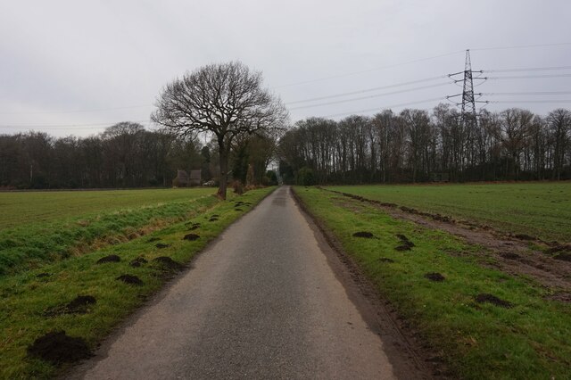
Bales Wood Images
Images are sourced within 2km of 53.744189/-1.064007 or Grid Reference SE6127. Thanks to Geograph Open Source API. All images are credited.


Bales Wood is located at Grid Ref: SE6127 (Lat: 53.744189, Lng: -1.064007)
Division: West Riding
Administrative County: North Yorkshire
District: Selby
Police Authority: North Yorkshire
What 3 Words
///credited.conveying.small. Near Brayton, North Yorkshire
Nearby Locations
Related Wikis

RAF Burn
Royal Air Force Burn or more simply RAF Burn is a former Royal Air Force satellite station located 5 miles (8 km) south of Selby and 0.5 miles (0.8 km...
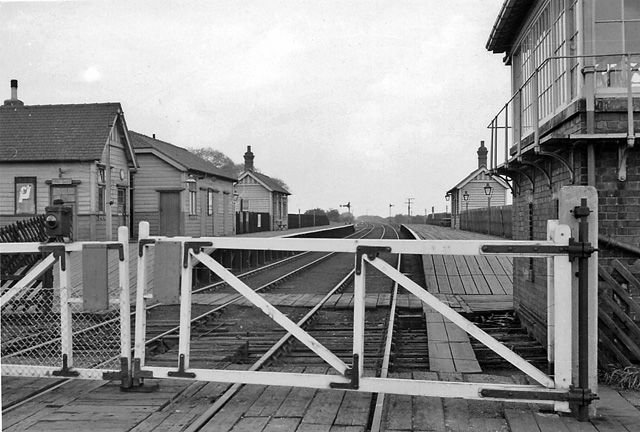
Barlow railway station
Barlow railway station was a railway station that served the village of Barlow in North Yorkshire, England from 1912 to 1964 via the Selby to Goole line...

Burn, North Yorkshire
Burn is a small village and civil parish in North Yorkshire, England. It is situated 3 miles (4.8 km) south of Selby and 14 miles (22.5 km) south of York...
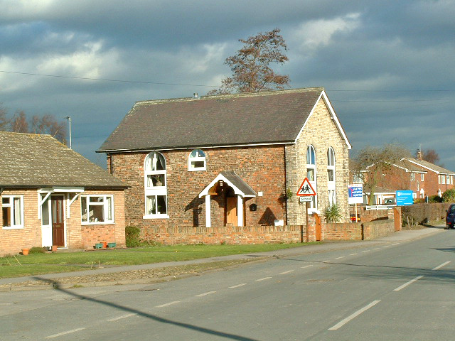
Barlow, North Yorkshire
Barlow is a small village and civil parish located in the Selby District of North Yorkshire, England, about 16 miles south of York. In the 2011 census...
Have you been to Bales Wood?
Leave your review of Bales Wood below (or comments, questions and feedback).