Armthorpe Shaw

Wood, Forest in Yorkshire

England

Armthorpe Shaw

Shaftesbury House, Intake A high rise block off flats next to the roundabout at the end of Shaftesbury Avenue, with vehicular access off Cardigan Road.
Shaftesbury House, Intake Credit: Richard Vince

Armthorpe Shaw is a small woodland area located in the county of Yorkshire, England. Situated in the larger region known as Yorkshire Forest, Armthorpe Shaw is known for its natural beauty and diverse range of flora and fauna.

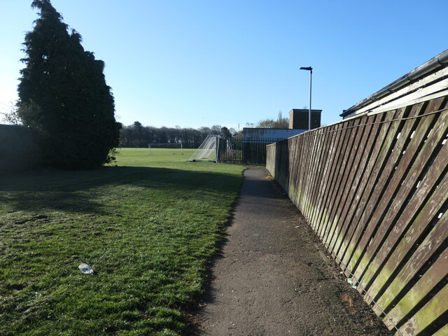
Covering an area of approximately 100 acres, Armthorpe Shaw is characterized by its dense canopy of trees, which includes a variety of species such as oak, beech, and birch. These trees provide a habitat for a wide range of wildlife, including birds, squirrels, and deer.

The woodland is crisscrossed by a network of walking trails, allowing visitors to explore and appreciate the natural wonders of the area. As they wander through the Shaw, visitors can enjoy the peacefulness and tranquility of the surroundings, as well as take in the sights and sounds of nature.

Armthorpe Shaw is also home to a number of rare and protected plant species, which adds to its ecological significance. The woodland is carefully preserved and managed by local authorities, ensuring its long-term sustainability and conservation.

The Shaw is a popular destination for nature lovers, hikers, and photographers, who are drawn to its scenic beauty and diverse ecosystem. It provides an opportunity for people to connect with nature and escape the hustle and bustle of everyday life.

In conclusion, Armthorpe Shaw in Yorkshire is a picturesque woodland area, boasting stunning natural landscapes, diverse wildlife, and rare plant species. It offers a peaceful retreat for visitors, as well as an important habitat for various flora and fauna.

If you have any feedback on the listing, please let us know in the comments section below.

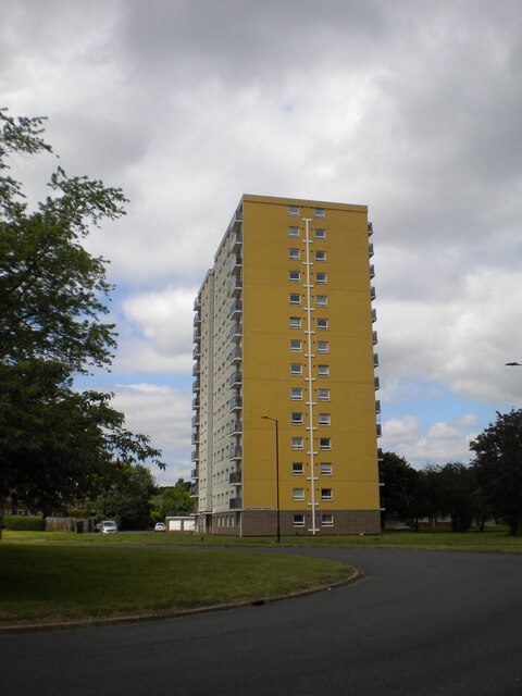
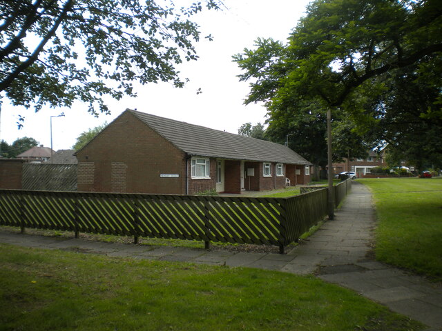
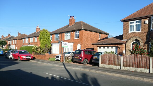
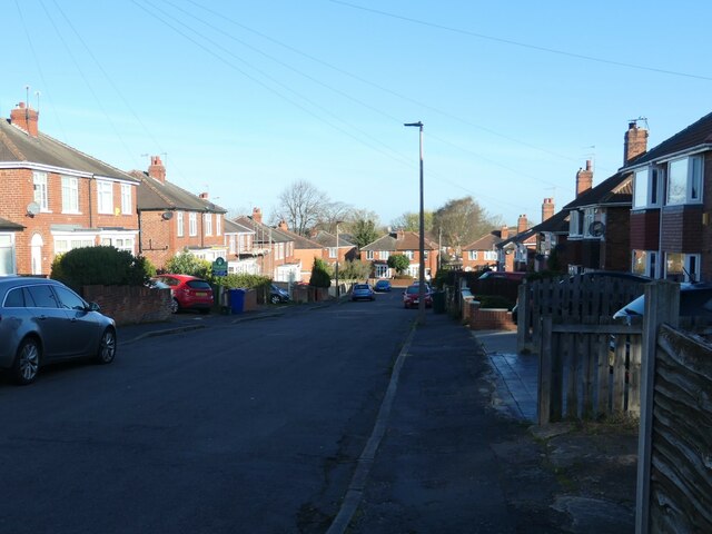
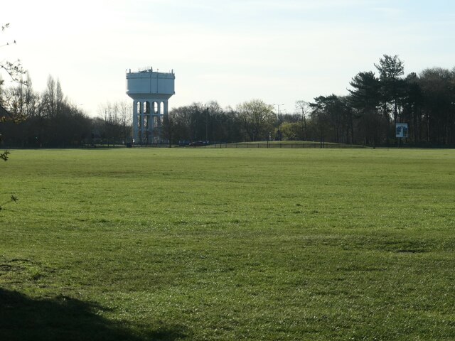
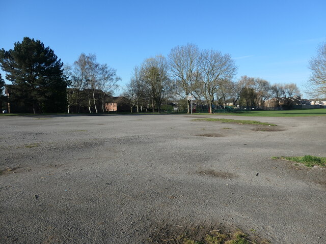
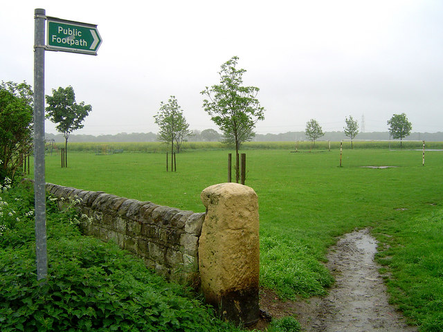
Armthorpe Shaw Images

Images are sourced within 2km of 53.541978/-1.0691968 or Grid Reference SE6105. Thanks to Geograph Open Source API. All images are credited.

Shaftesbury House, Intake A high rise block off flats next to the roundabout at the end of Shaftesbury Avenue, with vehicular access off Cardigan Road.
Shaftesbury House, Intake
A high rise block off flats next to the roundabout at the end of Shaftesbury Avenue, with vehicular access off Cardigan Road.
Bungalows off Henley Road, Intake Seen from the footpath to the roundabout at the end of Shaftesbury Avenue.
Bungalows off Henley Road, Intake
Seen from the footpath to the roundabout at the end of Shaftesbury Avenue.
The west side of Boundary Avenue, Doncaster Catching the early morning sun. The road was laid out in the 1930s. A couple of these houses were built in the 1940s, but most of them were built in the 1950s.
The west side of Boundary Avenue, Doncaster
Catching the early morning sun. The road was laid out in the 1930s. A couple of these houses were built in the 1940s, but most of them were built in the 1950s.
The north side of Grove Vale, Doncaster The road was laid out by 1938, and these houses built by 1948.
The north side of Grove Vale, Doncaster
The road was laid out by 1938, and these houses built by 1948.
The west side of Masefield Road, Doncaster The road was laid out by 1938, and these houses built by 1948.
The west side of Masefield Road, Doncaster
The road was laid out by 1938, and these houses built by 1948.
Looking down Masefield Road, Doncaster There's a reason why this suburb is called Wheatley Hills - the name the area carried when it was farmland.
Looking down Masefield Road, Doncaster
There's a reason why this suburb is called Wheatley Hills - the name the area carried when it was farmland.
Forsythia in a Masefield Road front garden Spring has sprung in the Doncaster suburb of Wheatley Hills.
Forsythia in a Masefield Road front garden
Spring has sprung in the Doncaster suburb of Wheatley Hills.
Southern end of Hill Top Crescent, Doncaster In 1950 this was open land at the northern edge of a sand and gravel pit.
Southern end of Hill Top Crescent, Doncaster
In 1950 this was open land at the northern edge of a sand and gravel pit.
The north side of Ennerdale Road, Doncaster This part of Wheatley Hills was built in the 1960s.
The north side of Ennerdale Road, Doncaster
This part of Wheatley Hills was built in the 1960s.
Footpath to Silver Jubilee Close, Doncaster Running south between two houses on Ennerdale Road.
Footpath to Silver Jubilee Close, Doncaster
Running south between two houses on Ennerdale Road.
East side of Edgehill Road, Doncaster 1960s bungalows in Wheatley Hill.
East side of Edgehill Road, Doncaster
1960s bungalows in Wheatley Hill.
West side of Linkswood Avenue, Doncaster Built in the 1960s.
West side of Linkswood Avenue, Doncaster
Built in the 1960s.
North side of Fernhurst Road, Doncaster These houses were built in the 1960s.
North side of Fernhurst Road, Doncaster
These houses were built in the 1960s.
Jubilee Court, Silver Jubilee Close, Doncaster Retirement housing built in 1979 and run by St Leger Homes.
Jubilee Court, Silver Jubilee Close, Doncaster
Retirement housing built in 1979 and run by St Leger Homes.
Path into the playing fields, Wheatley, Doncaster On the south side of Fernhurst Road.
Path into the playing fields, Wheatley, Doncaster
On the south side of Fernhurst Road.
Armthorpe water tower, from the north-west Built between 1904 and 1929 for Doncaster Corporation's Water Works.
Armthorpe water tower, from the north-west
Built between 1904 and 1929 for Doncaster Corporation's Water Works.
Hardstanding in the playing fields Not sure what this is used for.
Hardstanding in the playing fields
Not sure what this is used for.
Parkside flats in Danesthorpe Close Built after 2000 on the north side of Doncaster's Armthorpe Road.
Parkside flats in Danesthorpe Close
Built after 2000 on the north side of Doncaster's Armthorpe Road.
Show me another place!

Armthorpe Shaw is located at Grid Ref: SE6105 (Lat: 53.541978, Lng: -1.0691968)

Division: West Riding

Unitary Authority: Doncaster

Police Authority: South Yorkshire

What 3 Words

///seabirds.camps.keepers. Near Armthorpe, South Yorkshire

Related Wikis

Markham Main Colliery

Markham Main Colliery was a coal mine in Armthorpe, on the eastern edge of Doncaster, South Yorkshire, England. It could be seen, and was a landmark, from...

The Armthorpe Academy

The Armthorpe Academy (formerly Armthorpe School) is a secondary school located in Armthorpe, Doncaster, England. It has approximately 770 pupils, serves...

Edenthorpe

Edenthorpe is a village and civil parish on the eastern edge of Doncaster, South Yorkshire, England. At the 2001 census, it had a population of 4,752...

Castle Park rugby stadium

Castle Park is a sports stadium in Doncaster, South Yorkshire. It is the home of the Doncaster Knights, a Rugby Union side who play in the RFU Championship...

Nearby Amenities

Located within 500m of 53.541978,-1.0691968
Mini Roundabout
Lat/Long: 53.5377905/-1.0713261
Bus Stop
Doncaster Road/Charles Crescent
Naptan AtcoCode: 370045143
Naptan Bearing: W
Naptan CommonName: Doncaster Road/Charles Crescent
Naptan Indicator: 45143
Naptan Landmark: TELEPHONE KIOSK
Naptan PlusbusZoneRef: ROTHCEN
Naptan Street: Doncaster Road
Naptan Verified: no
Source: naptan_import
Lat/Long: 53.5377472/-1.0703126
Bus Stop
Doncaster Road/Charles Crescent
Naptan AtcoCode: 370045144
Naptan Bearing: E
Naptan CommonName: Doncaster Road/Charles Crescent
Naptan Indicator: 45144
Naptan Landmark: 45144
Naptan PlusbusZoneRef: ROTHCEN
Naptan Street: Doncaster Road
Naptan Verified: no
Source: naptan_import
Lat/Long: 53.537959/-1.0709568
Power: pole
Lat/Long: 53.5407077/-1.0760155
Power: pole
Lat/Long: 53.5407856/-1.076348
Power: pole
Lat/Long: 53.5417278/-1.0743005
Power: pole
Lat/Long: 53.5418852/-1.0745577
Power: pole
Lat/Long: 53.5427501/-1.0726097
Power: pole
Lat/Long: 53.5429715/-1.0727865
Power: pole
Lat/Long: 53.543797/-1.0709101
Power: pole
Lat/Long: 53.5440306/-1.0710595
Power: pole
Lat/Long: 53.5448334/-1.0691793
Power: pole
Lat/Long: 53.5451301/-1.0692756
Power: pole
Lat/Long: 53.5458451/-1.0675535
Power: pole
Lat/Long: 53.5461007/-1.0677178
Generator Method: photovoltaic
Generator Output Electricity: yes
Generator Source: solar
Generator Type: solar_photovoltaic_panel
Location: roof
Power: generator
Lat/Long: 53.5412829/-1.0627636
Generator Method: photovoltaic
Generator Output Electricity: yes
Generator Source: solar
Generator Type: solar_photovoltaic_panel
Location: roof
Power: generator
Lat/Long: 53.5403377/-1.0700297
Generator Method: photovoltaic
Generator Output Electricity: yes
Generator Source: solar
Generator Type: solar_photovoltaic_panel
Location: roof
Power: generator
Lat/Long: 53.5404174/-1.0723552
Generator Method: photovoltaic
Generator Output Electricity: yes
Generator Source: solar
Generator Type: solar_photovoltaic_panel
Location: roof
Power: generator
Lat/Long: 53.5400396/-1.0740584
Generator Method: photovoltaic
Generator Output Electricity: yes
Generator Source: solar
Generator Type: solar_photovoltaic_panel
Location: roof
Power: generator
Lat/Long: 53.5397495/-1.0734281
Generator Method: photovoltaic
Generator Output Electricity: yes
Generator Source: solar
Generator Type: solar_photovoltaic_panel
Location: roof
Power: generator
Lat/Long: 53.5399472/-1.0710758
Generator Method: photovoltaic
Generator Output Electricity: yes
Generator Source: solar
Generator Type: solar_photovoltaic_panel
Location: roof
Power: generator
Lat/Long: 53.5399759/-1.0710597
Generator Method: photovoltaic
Generator Output Electricity: yes
Generator Source: solar
Generator Type: solar_photovoltaic_panel
Location: roof
Power: generator
Lat/Long: 53.5399998/-1.0646251
Generator Method: photovoltaic
Generator Output Electricity: yes
Generator Source: solar
Generator Type: solar_photovoltaic_panel
Location: roof
Power: generator
Lat/Long: 53.5400237/-1.06455
Generator Method: photovoltaic
Generator Output Electricity: yes
Generator Source: solar
Generator Type: solar_photovoltaic_panel
Location: roof
Power: generator
Lat/Long: 53.5380647/-1.0703355
Generator Method: photovoltaic
Generator Output Electricity: yes
Generator Source: solar
Generator Type: solar_photovoltaic_panel
Location: roof
Power: generator
Lat/Long: 53.5374829/-1.0691178
The data included in this document is from www.openstreetmap.org. The data is made available under ODbL.

Have you been to Armthorpe Shaw?

Leave your review of Armthorpe Shaw below (or comments, questions and feedback).