Duntisbourne Abbots
Settlement in Gloucestershire Cotswold
England
Duntisbourne Abbots
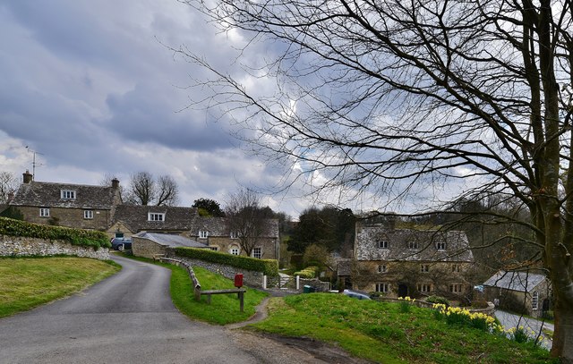
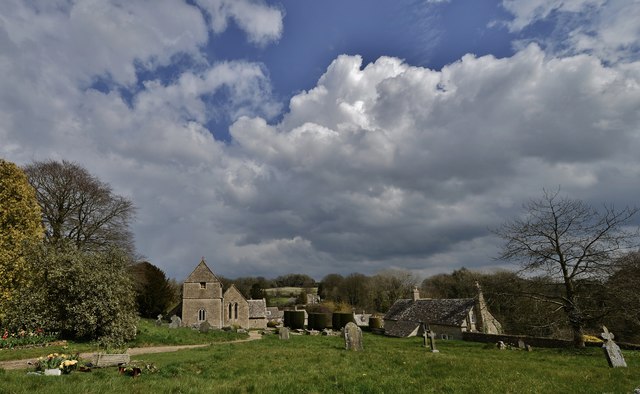
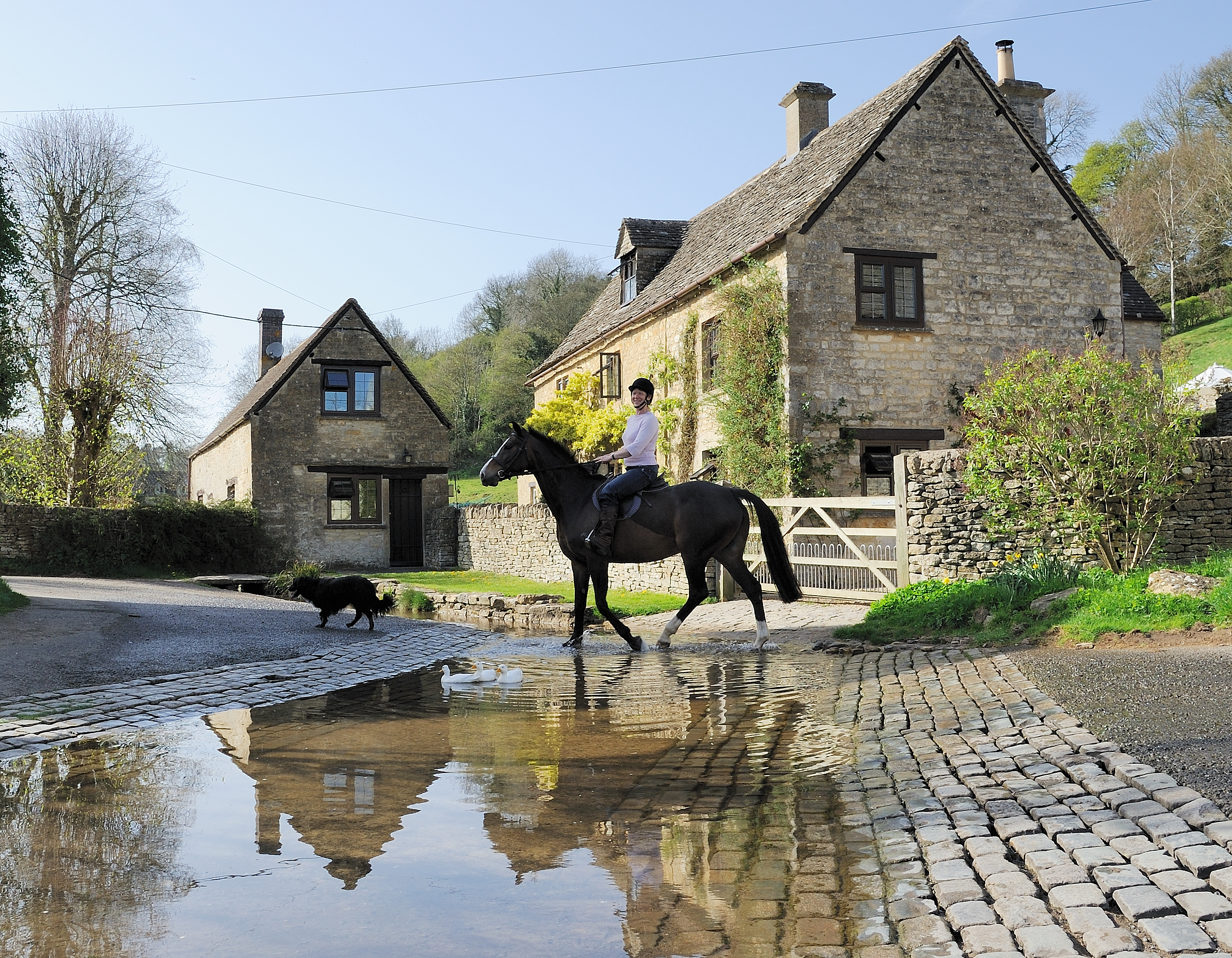
Duntisbourne Abbots is a small village located in the county of Gloucestershire, England. Situated in the picturesque Cotswolds region, it lies approximately 10 miles east of the town of Cirencester. The village is nestled amidst rolling green hills and is surrounded by stunning countryside, making it a popular destination for nature lovers and hikers.
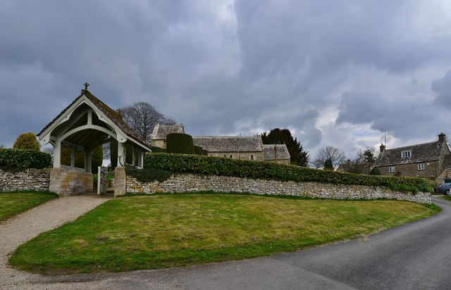
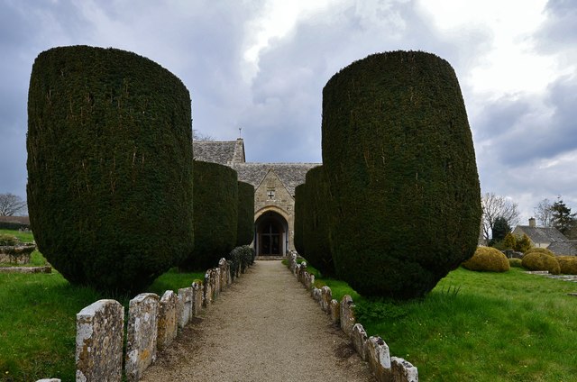
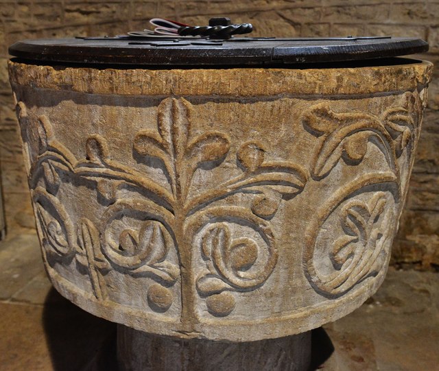
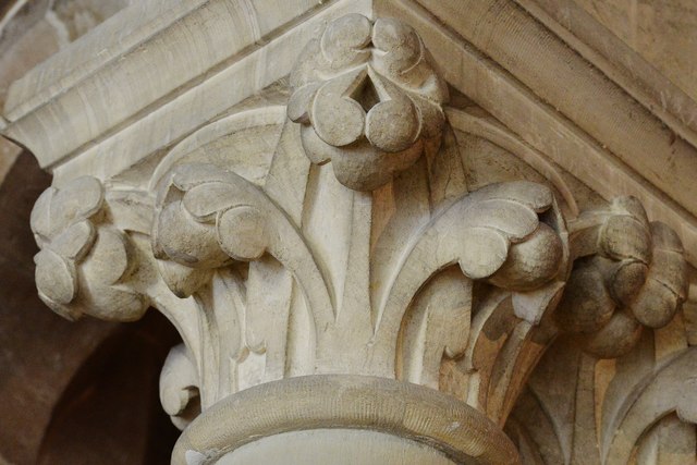
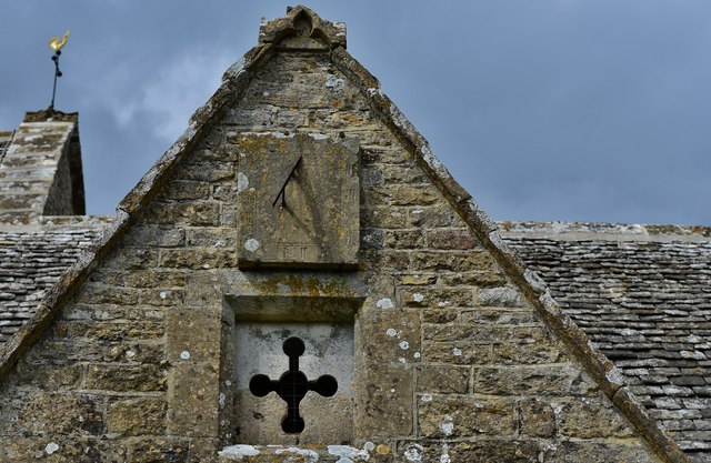
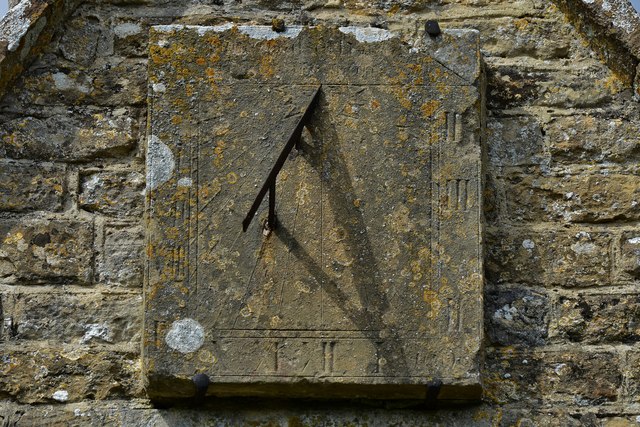
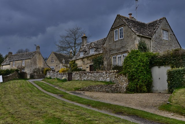
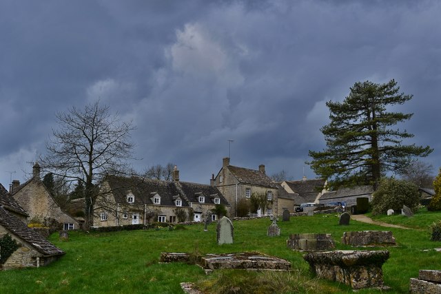
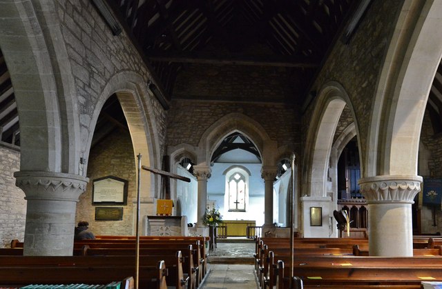
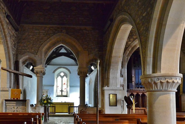
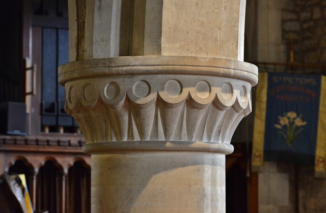
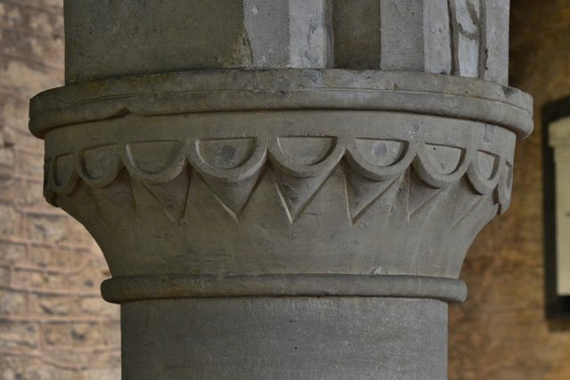
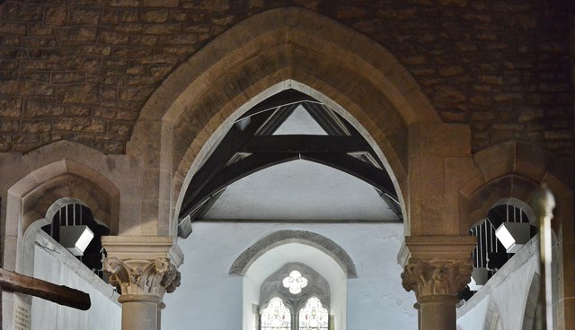
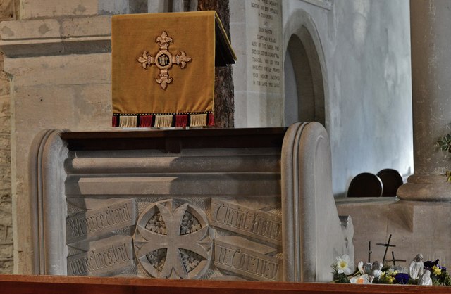
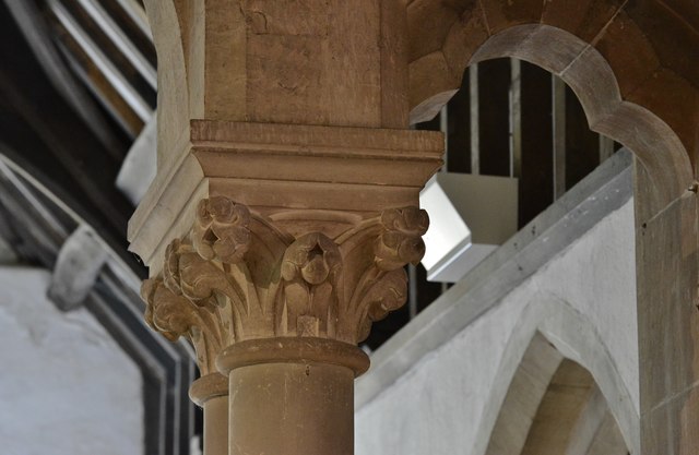
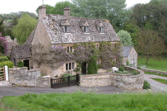
Duntisbourne Abbots is a quintessential English village, with a population of around 200 residents. The village is characterized by its traditional Cotswold stone cottages, many of which date back several centuries, giving it a charming and timeless feel. The local church, St. Peter's, is a prominent feature and showcases the village's rich history.
Despite its small size, Duntisbourne Abbots has a strong sense of community, with various social events and activities held throughout the year. The village hall serves as a hub for these gatherings and is used for a range of functions, including meetings, celebrations, and local clubs.
Although Duntisbourne Abbots does not have its own amenities such as shops or pubs, residents benefit from the nearby villages of Duntisbourne Leer and Duntisbourne Rouse, where basic services can be found. The village is well-connected to surrounding areas, with good road links to Cirencester and other nearby towns.
Overall, Duntisbourne Abbots offers a tranquil and idyllic setting for those seeking a peaceful countryside retreat, while still being within easy reach of urban amenities. Its natural beauty, historic charm, and tight-knit community make it a truly special place to call home.
If you have any feedback on the listing, please let us know in the comments section below.
Duntisbourne Abbots Images
Images are sourced within 2km of 51.770613/-2.044098 or Grid Reference SO9707. Thanks to Geograph Open Source API. All images are credited.
Duntisbourne Abbots is located at Grid Ref: SO9707 (Lat: 51.770613, Lng: -2.044098)
Administrative County: Gloucestershire
District: Cotswold
Police Authority: Gloucestershire
What 3 Words
///simmer.ponies.rash. Near Stratton, Gloucestershire
Nearby Locations
Related Wikis
Davenport House, Duntisbourne Abbots
Davenport House is an historic building in the English village of Duntisbourne Abbots, Gloucestershire. Located on the eastern side of the village, it...
Duntisbourne Abbots
Duntisbourne Abbots is a village and civil parish located in the English county of Gloucestershire. Duntisbourne Abbots forms part of the Cotswold District...
Duntisbourne Leer
Duntisbourne Leer is a hamlet in the county of Gloucestershire, and lies within the Cotswolds, a range of hills designated an Area of Outstanding Natural...

Five Mile House, Duntisbourne Abbots
The Five Mile House is a former pub on Old Gloucester Road, Duntisbourne Abbots, Gloucestershire, England. It was built in the 17th century and is grade...

Church of St Bartholomew, Winstone
The Anglican Church of St Bartholomew at Winstone in the Cotswold District of Gloucestershire, England was built in the 11th century. It is a grade I listed...
Winstone
Winstone is a village and civil parish in the English county of Gloucestershire. The population taken at the 2011 census was 270.Winstone forms part of...

Duntisbourne Rouse
Duntisbourne Rouse is a village and civil parish in Gloucestershire, England. It lies in the Cotswolds, an Area of Outstanding Natural Beauty. At the...

St Michael's Church, Duntisbourne Rouse
St Michael's Church is an Anglican church in the Cotswold village of Duntisbourne Rouse, Gloucestershire, England. It dates from no later than the 11th...
Nearby Amenities
Located within 500m of 51.770613,-2.044098Have you been to Duntisbourne Abbots?
Leave your review of Duntisbourne Abbots below (or comments, questions and feedback).