Broadfield's Plantation
Wood, Forest in Berkshire
England
Broadfield's Plantation

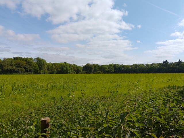
Broadfield's Plantation is a picturesque wooded area located in Berkshire, England. Situated near the town of Wood, this forested expanse covers an area of approximately 500 acres. It is a popular destination for nature enthusiasts and outdoor adventurers alike.
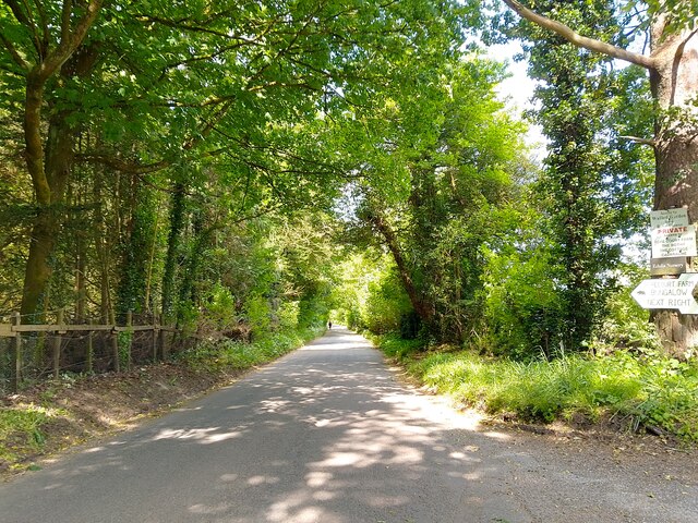
The vegetation within Broadfield's Plantation is predominantly composed of native broadleaf trees, such as oak, beech, and ash. These majestic trees provide a dense canopy that creates a tranquil and shaded atmosphere throughout the forest. The woodland floor is adorned with a rich variety of wildflowers, ferns, and mosses, adding to the area's natural beauty.
The plantation is home to a diverse array of wildlife, including numerous species of birds, mammals, and insects. Birdwatchers can spot a range of avian species, such as woodpeckers, owls, and various songbirds. Small mammals, including foxes, rabbits, and squirrels, can also be observed scurrying through the undergrowth.
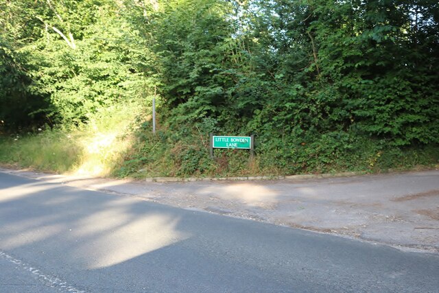
Visitors to Broadfield's Plantation can explore its numerous walking trails and footpaths, which wind their way through the forest. These paths offer opportunities for peaceful strolls, jogging, or even cycling. The plantation also features clearings and picnic areas, where visitors can relax and enjoy the serene surroundings.
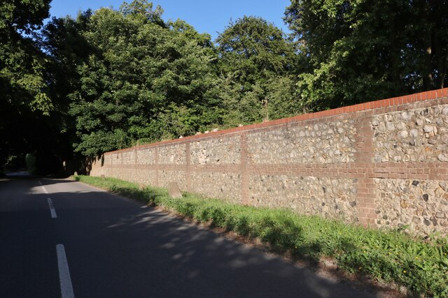
Furthermore, the plantation has a long history, dating back several centuries. It was once part of a larger estate and has since become a protected natural area. Today, it is managed by local authorities who work diligently to preserve its ecological integrity and ensure its accessibility to the public.
Overall, Broadfield's Plantation is a captivating woodland retreat in Berkshire, offering visitors a chance to immerse themselves in nature's beauty and tranquility. Whether it's admiring the diverse flora and fauna or simply enjoying a leisurely walk, this forested haven provides a delightful escape from the hustle and bustle of everyday life.
If you have any feedback on the listing, please let us know in the comments section below.
Broadfield's Plantation Images
Images are sourced within 2km of 51.464793/-1.1178571 or Grid Reference SU6174. Thanks to Geograph Open Source API. All images are credited.


Broadfield's Plantation is located at Grid Ref: SU6174 (Lat: 51.464793, Lng: -1.1178571)
Unitary Authority: West Berkshire
Police Authority: Thames Valley
What 3 Words
///retract.famous.presuming. Near Bradfield, Berkshire
Related Wikis

St Andrew's School, Pangbourne
St Andrew's School is an independent preparatory school in the hamlet of Buckhold, near Pangbourne, Berkshire, England. Together with its 'Pre-Prep – Early...

River Bourne, Berkshire
The River Bourne is a river in the English county of Berkshire. It is a tributary of the River Pang and, indirectly, of the River Thames. The Bourne's...

Bradfield College
Bradfield College, formally St Andrew's College, Bradfield, is a public school (English fee-charging boarding and day school) for pupils aged 13–18, located...

Bradfield, Berkshire
Bradfield is a village and civil parish in Berkshire, England. Aside from farms and a smaller amount of woodland its main settlements are Bradfield Southend...

Moor Copse
Moor Copse is a 65-hectare (160-acre) nature reserve west of Reading in Berkshire. It is managed by the Berkshire, Buckinghamshire and Oxfordshire Wildlife...

Tidmarsh
Tidmarsh is a village in West Berkshire, England. Its development is mainly residential and agricultural, and is centred on the A340 road between Pangbourne...
Bradfield Rural District
Bradfield was a rural district in Berkshire, England, from 1894 to 1974.It was created under the Local Government Act 1894 from the Bradfield rural sanitary...

Upper Basildon
Upper Basildon is a small village in the civil parish of Basildon (where the United Kingdom 2011 Census population is included), near to Pangbourne, in...
Nearby Amenities
Located within 500m of 51.464793,-1.1178571Have you been to Broadfield's Plantation?
Leave your review of Broadfield's Plantation below (or comments, questions and feedback).