Sandall Beat Wood
Wood, Forest in Yorkshire
England
Sandall Beat Wood

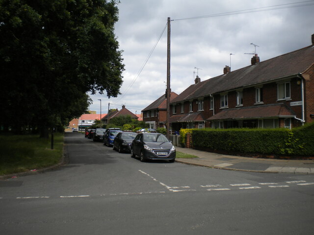
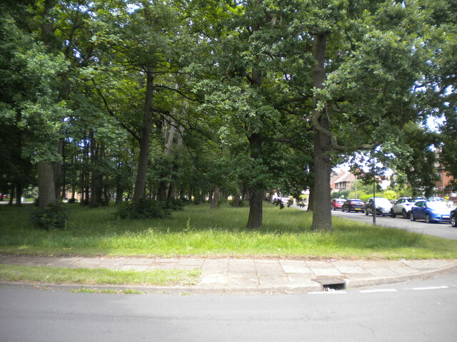
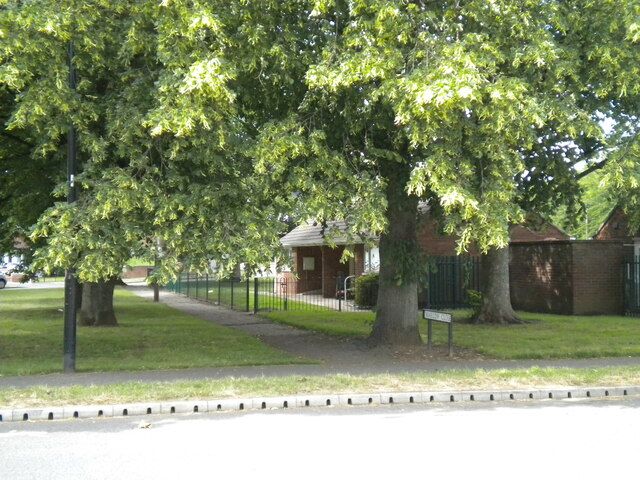
Sandall Beat Wood is a picturesque woodland area located in Yorkshire, England. It covers an area of approximately 100 hectares and is known for its diverse range of wildlife and stunning natural beauty. The wood is situated on the outskirts of the village of Sandall Beat, offering a peaceful and tranquil escape from the hustle and bustle of city life.
The wood is predominantly made up of broadleaf trees, including oak, birch, and beech, which provide a rich and vibrant canopy throughout the year. The forest floor is covered with a variety of wildflowers, creating a colorful and enchanting atmosphere. There are also several small streams that meander through the wood, adding to its charm and providing a habitat for various aquatic creatures.
Sandall Beat Wood is a haven for wildlife enthusiasts, as it is home to a wide range of animals, including deer, badgers, foxes, and numerous species of birds. Birdwatchers can enjoy spotting woodpeckers, owls, and various songbirds that inhabit the area.
The wood offers several walking trails, allowing visitors to explore its beauty at their own pace. There are also designated picnic areas where visitors can relax and enjoy the surroundings. Sandall Beat Wood is managed by the local authorities, who work to maintain its natural habitat and ensure the preservation of its flora and fauna.
Overall, Sandall Beat Wood is a delightful woodland retreat that offers visitors a chance to connect with nature and enjoy the tranquility of the Yorkshire countryside.
If you have any feedback on the listing, please let us know in the comments section below.
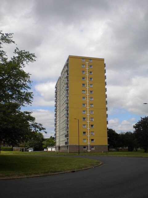
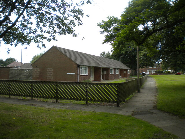
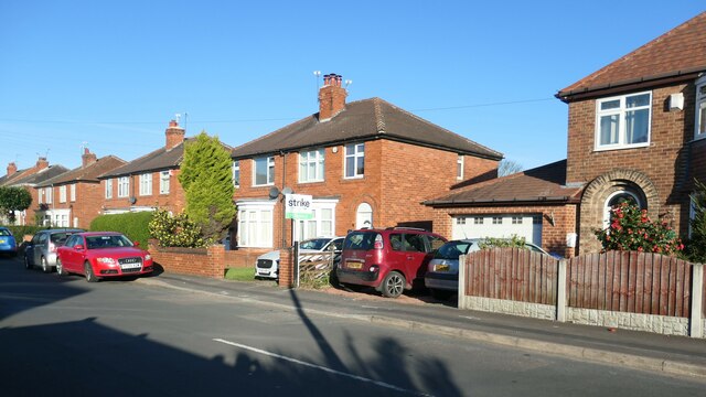
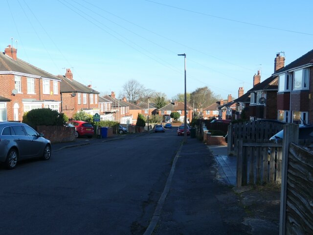
Sandall Beat Wood Images
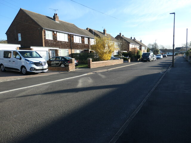
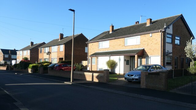
Images are sourced within 2km of 53.526944/-1.0766919 or Grid Reference SE6103. Thanks to Geograph Open Source API. All images are credited.


Sandall Beat Wood is located at Grid Ref: SE6103 (Lat: 53.526944, Lng: -1.0766919)
Division: West Riding
Unitary Authority: Doncaster
Police Authority: South Yorkshire
What 3 Words
///solved.digits.scary. Near Armthorpe, South Yorkshire
Nearby Locations
Related Wikis

Castle Park rugby stadium
Castle Park is a sports stadium in Doncaster, South Yorkshire. It is the home of the Doncaster Knights, a Rugby Union side who play in the RFU Championship...
Outwood Academy Danum
Outwood Academy Danum (formerly Danum School Technology College, Danum Academy and Intake Secondary Modern) is an academy school serving the east of Doncaster...

Markham Main Colliery
Markham Main Colliery was a coal mine in Armthorpe, on the eastern edge of Doncaster, South Yorkshire, England. It could be seen, and was a landmark, from...
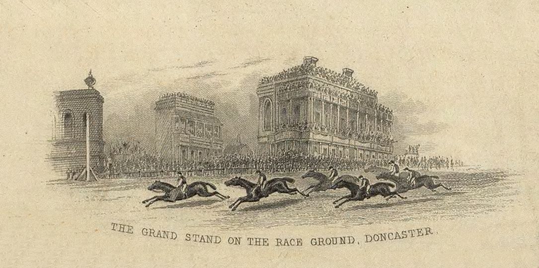
Doncaster Racecourse
Doncaster Racecourse (also known as the Town Moor course) is a racecourse in Doncaster, South Yorkshire, England. It hosts two of Great Britain's 36 annual...
Nearby Amenities
Located within 500m of 53.526944,-1.0766919Have you been to Sandall Beat Wood?
Leave your review of Sandall Beat Wood below (or comments, questions and feedback).