Annabell's Plantation
Wood, Forest in Nottinghamshire Rushcliffe
England
Annabell's Plantation

Annabell's Plantation is a picturesque woodland located in Nottinghamshire, England. Situated within the heart of the county, this enchanting plantation is nestled amidst the serene surroundings of lush greenery and rolling hills.
Covering a vast area, Annabell's Plantation is a haven for nature enthusiasts and outdoor lovers. The woodland is mainly composed of various species of trees, including oak, beech, and birch, creating a diverse and vibrant ecosystem. Its dense canopy provides a tranquil retreat away from the hustle and bustle of city life.
The plantation is a popular destination for hikers and nature walkers, with numerous well-maintained trails meandering through the woodland. Visitors can explore the enchanting pathways, immersing themselves in the beauty of nature. Along the way, they may encounter a rich variety of wildlife, including squirrels, rabbits, and a myriad of birds.
Annabell's Plantation also boasts a small, idyllic pond, adding to its charm. The tranquil waters provide a peaceful spot for picnics or a quiet moment of reflection. The plantation's management takes great care to ensure the preservation of the natural landscape, maintaining the area's pristine condition.
Additionally, Annabell's Plantation offers educational programs and guided tours for school groups and nature enthusiasts. These activities aim to raise awareness about the local flora and fauna, as well as the importance of environmental conservation.
With its stunning beauty and diverse ecosystem, Annabell's Plantation is a true gem in Nottinghamshire's landscape. Whether one seeks solace in nature or wishes to learn more about the local environment, this woodland sanctuary offers a delightful experience for all who venture within its bounds.
If you have any feedback on the listing, please let us know in the comments section below.
Annabell's Plantation Images
Images are sourced within 2km of 52.829161/-1.0947868 or Grid Reference SK6126. Thanks to Geograph Open Source API. All images are credited.


Annabell's Plantation is located at Grid Ref: SK6126 (Lat: 52.829161, Lng: -1.0947868)
Administrative County: Nottinghamshire
District: Rushcliffe
Police Authority: Nottinghamshire
What 3 Words
///girder.match.cassettes. Near Wymeswold, Leicestershire
Nearby Locations
Related Wikis

Thorpe in the Glebe
Thorpe in the Glebe was a village in Nottinghamshire to the south of Wysall on the Leicestershire border. It was sometimes called Thorpe in the Clottes...
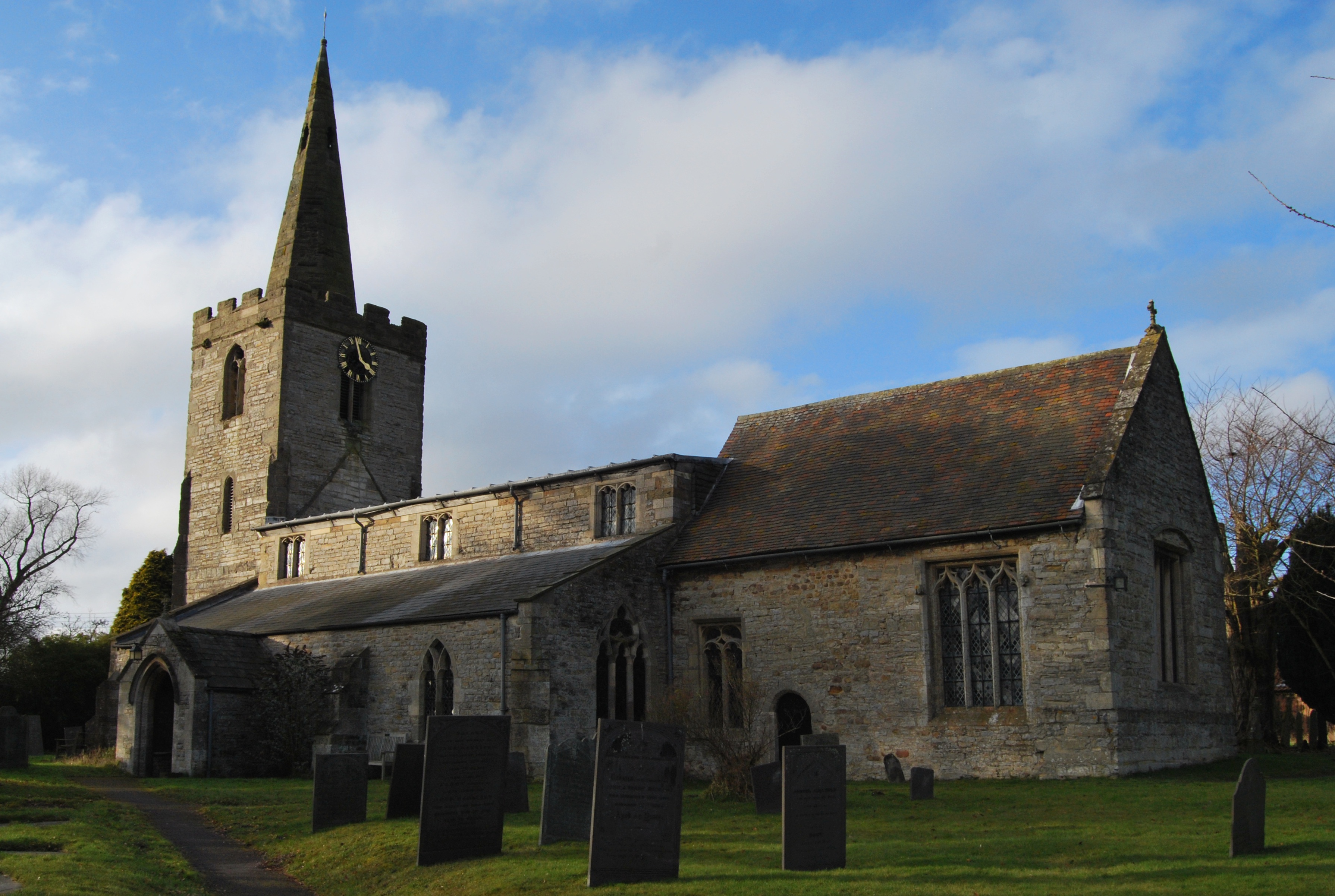
Holy Trinity Church, Wysall
Holy Trinity Church, Wysall is a parish church in the Church of England in Wysall. == History == Wysall Church, dedicated to the Holy Trinity, enjoys a...
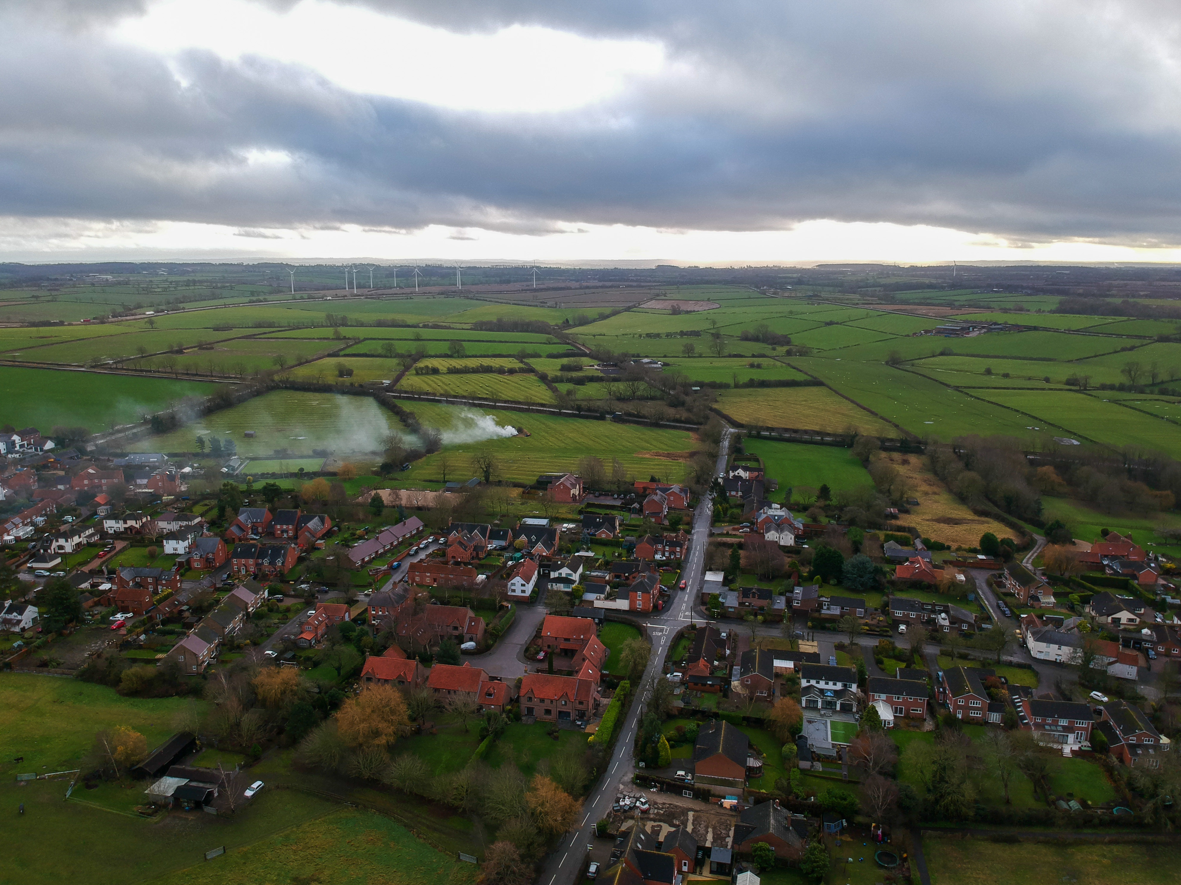
Wysall
Wysall is a village and civil parish in Nottinghamshire, England. It is 11 miles (18 km) south of Nottingham. According to the 2001 census it had a population...

Church of St Mary and All Saints, Willoughby-on-the-Wolds
The Church of St. Mary and All Saints, Willoughby-on-the-Wolds is a parish church in the Church of England in Willoughby on the Wolds, Nottinghamshire...
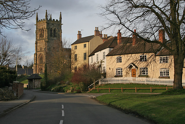
Willoughby on the Wolds
Willoughby on the Wolds is a small village in Nottinghamshire, England, on the border with Leicestershire. Its nearest neighbouring villages are Wysall...

St Peter and St Paul's Church, Widmerpool
St. Peter's Church, Widmerpool is a parish church in the Church of England in Widmerpool. == History == It is uncertain how long there has stood a church...
Wymeswold
Wymeswold () is a village and civil parish in the Charnwood district of Leicestershire, England. It is in the north of Leicestershire, and north-east of...
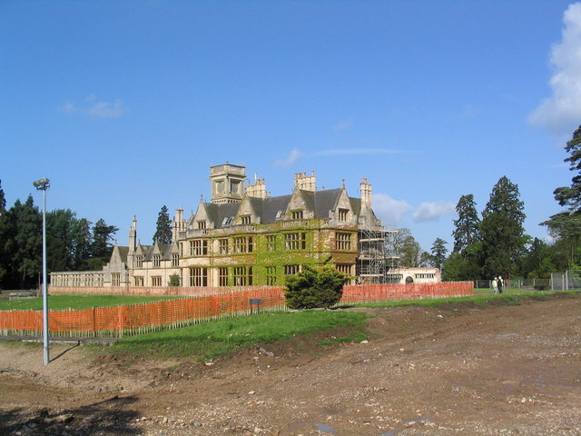
Widmerpool Hall
Widmerpool Hall is a Grade II listed English country house in Widmerpool, Nottinghamshire. Situated on the north side of the village, it was built in 1872...
Nearby Amenities
Located within 500m of 52.829161,-1.0947868Have you been to Annabell's Plantation?
Leave your review of Annabell's Plantation below (or comments, questions and feedback).