Ashleydown Coppice
Wood, Forest in Hampshire Winchester
England
Ashleydown Coppice

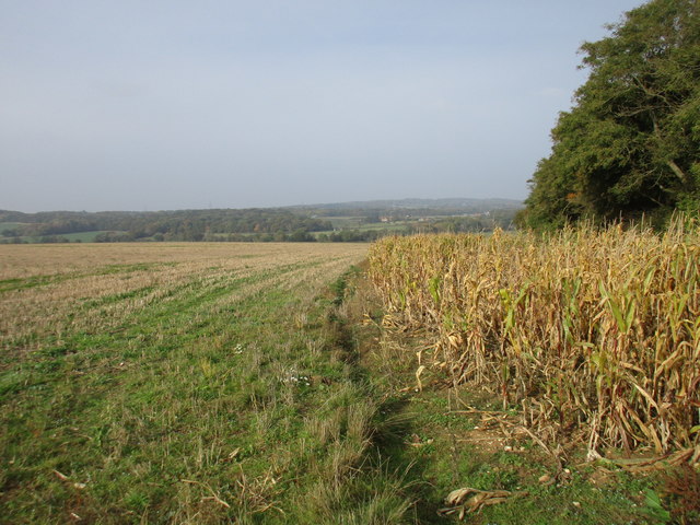
Ashleydown Coppice is a picturesque woodland area located in Hampshire, England. Covering an area of approximately 50 acres, it is a charming and tranquil place that offers visitors a retreat from the hustle and bustle of everyday life.
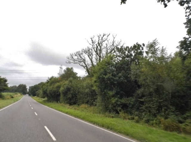
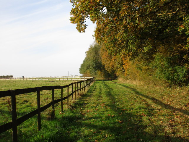
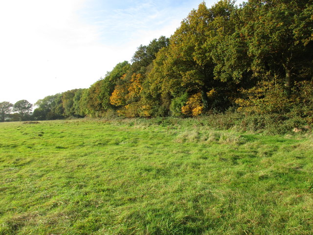
The coppice is predominantly made up of broadleaf trees, including oak, beech, and birch, which create a dense canopy that provides shade and shelter for a diverse range of flora and fauna. The forest floor is carpeted with bluebells in the spring, creating a stunning display of vibrant colors.
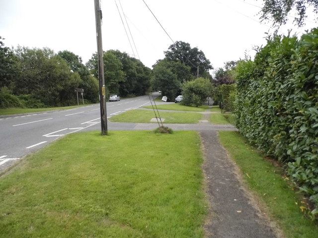
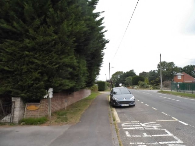
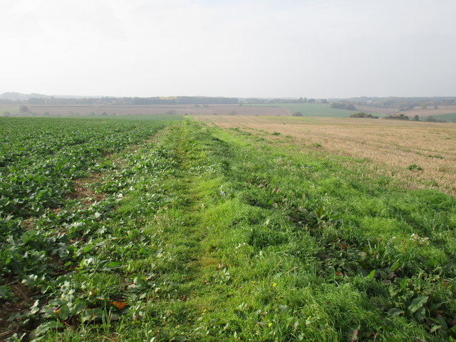
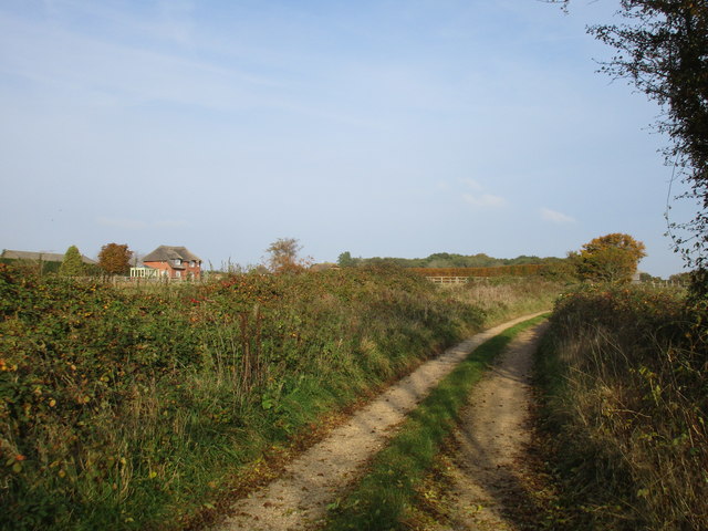
The woodland is intersected by a network of well-maintained footpaths, allowing visitors to explore its beauty at their own pace. These paths lead to various points of interest, such as a small stream that meanders through the woodland, adding to its natural charm.
Ashleydown Coppice is home to a rich variety of wildlife, making it a haven for nature enthusiasts. Red squirrels, deer, and a plethora of bird species can often be spotted among the trees, creating a sense of tranquility and connection with the natural world.
The coppice is a popular destination for outdoor activities such as walking, birdwatching, and nature photography. Its peaceful atmosphere and stunning scenery make it an ideal place for those seeking a moment of solitude or a family outing in nature.
Overall, Ashleydown Coppice is a hidden gem in Hampshire, offering visitors a chance to immerse themselves in the beauty of the natural world and escape the stresses of modern life.
If you have any feedback on the listing, please let us know in the comments section below.
Ashleydown Coppice Images
Images are sourced within 2km of 50.873004/-1.1342316 or Grid Reference SU6108. Thanks to Geograph Open Source API. All images are credited.


Ashleydown Coppice is located at Grid Ref: SU6108 (Lat: 50.873004, Lng: -1.1342316)
Administrative County: Hampshire
District: Winchester
Police Authority: Hampshire
What 3 Words
///activity.propelled.backfired. Near Fareham, Hampshire
Nearby Locations
Related Wikis

South Boarhunt
South Boarhunt is a small village in the civil parish of Boarhunt in the City of Winchester district of Hampshire, England. Its nearest town is Fareham...
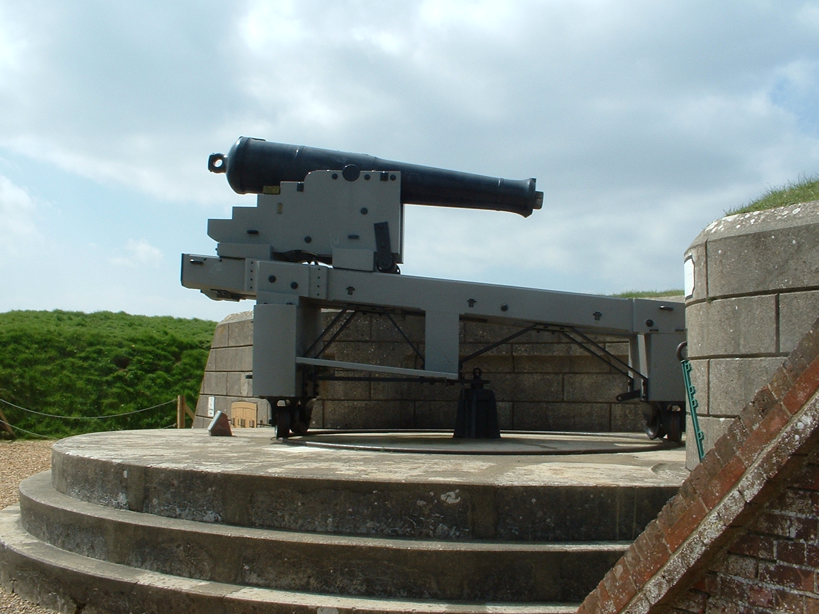
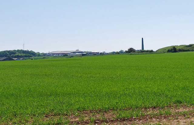
Fort Nelson, Hampshire
Fort Nelson, in the civil parish of Boarhunt in the English county of Hampshire, is one of five defensive forts built on the summit of Portsdown Hill in...
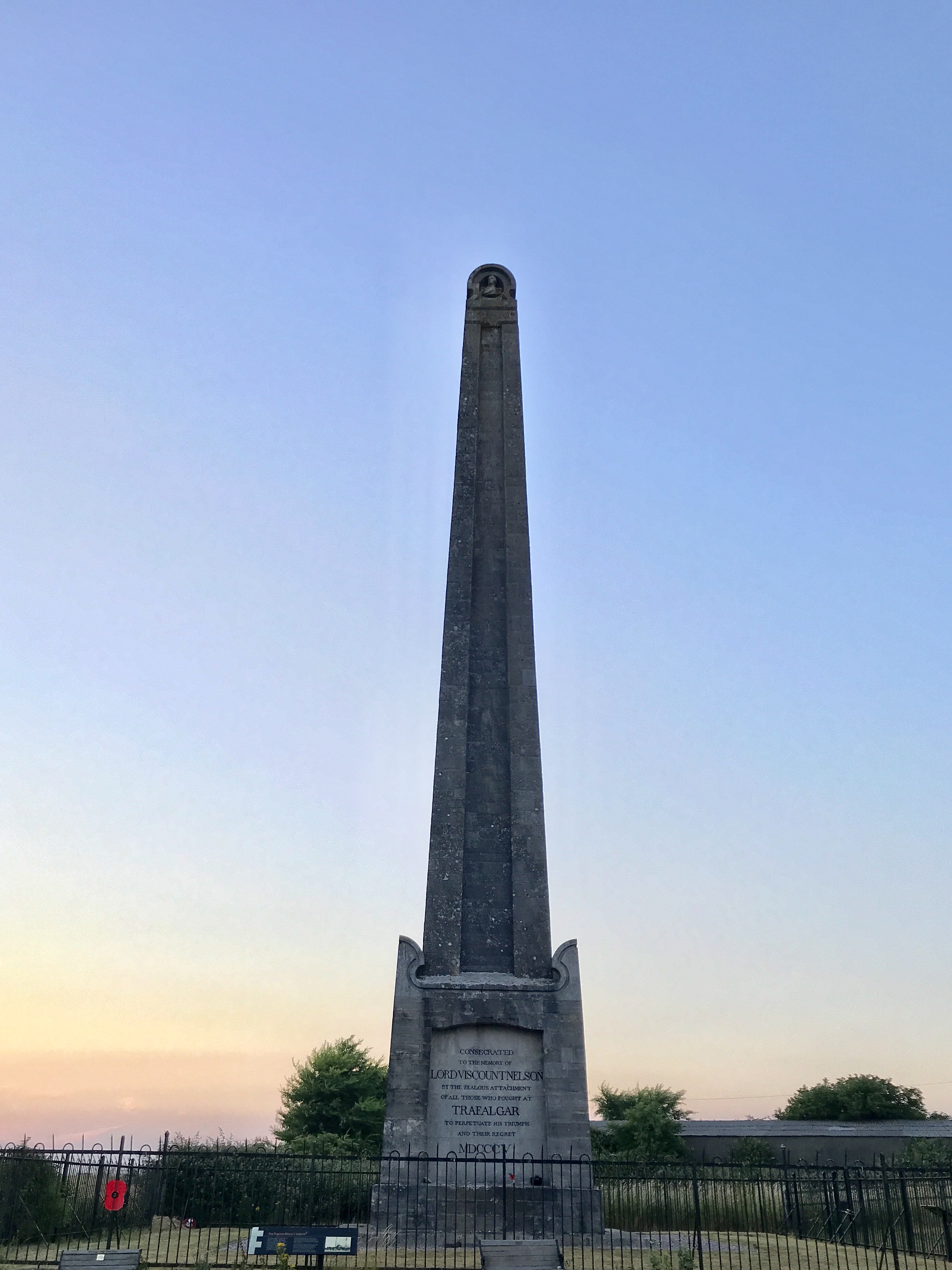
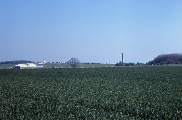
Nelson Monument, Portsdown Hill
The Nelson Monument, 120 feet (37 m) tall on a granite base, stands on Portsdown Hill about 2 miles (3.2 km) north of Portsmouth Harbour on the south coast...

Southwick, Hampshire
Southwick is a village and former civil parish, now in the parish of Southwick and Widley, in the Winchester district, in Hampshire, England. 1 mile...
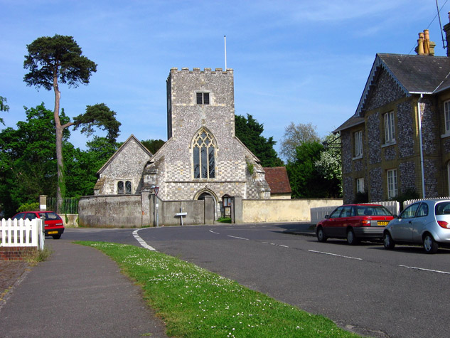
St James Church, Southwick
St James Church, Southwick is the Church of England parish church of Southwick, Hampshire, England. The parish is part of the Diocese of Portsmouth.The...
North Boarhunt
North Boarhunt is a village in the City of Winchester district of Hampshire, England. It is in the civil parish of Boarhunt. Its nearest town is Fareham...
Boarhunt
Boarhunt () is a village and civil parish in the City of Winchester district of Hampshire, England, about 2 miles (3 kilometres) north-east of Fareham...
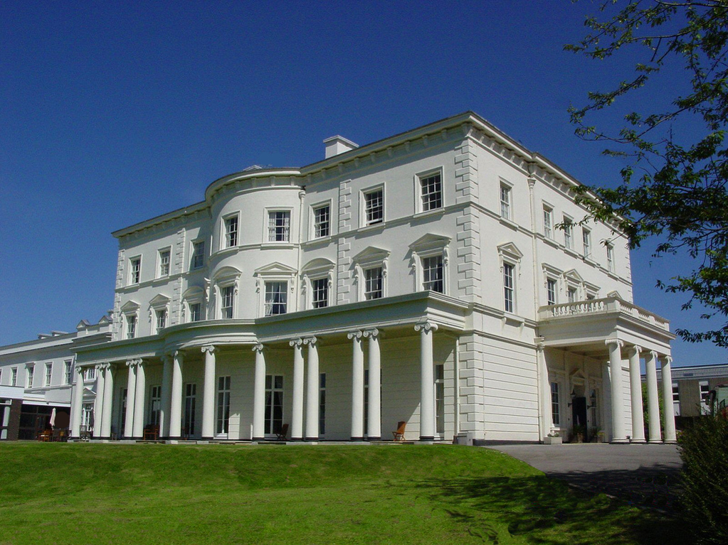
Southwick House
Southwick House is a Grade II listed 19th-century manor house of the Southwick Estate in Hampshire, England, about 5 miles (8 km) north of Portsmouth....
Related Videos
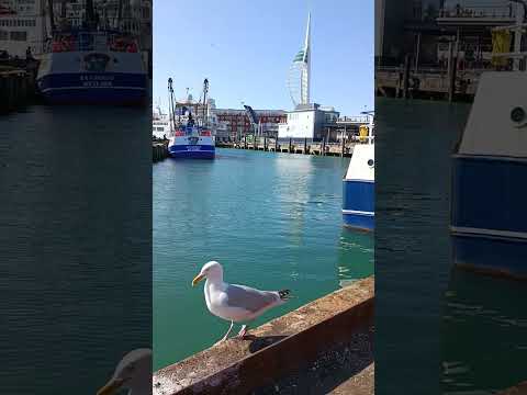
Portsmouth Harbour Camber - Fishing Vessels, Ferry and Seagull Walking Tour
Nice Portsmouth Harbour Camber - Fishing Vessels, Ferry and Seagull Walking Tour.


English Heritage | Portchester Castle | A day trip
A day trip in Portchester Castle — English Heritage. It is a beautiful place to celebrate the Easter holiday with your family and ...

Exploring Portsmouth Old Town & Dockyards | The Lost History!
Join me for a walk from Clarence Pier and all the way down to The National Museum for the Royal Navy via Portsmouth Harbour.
Nearby Amenities
Located within 500m of 50.873004,-1.1342316Have you been to Ashleydown Coppice?
Leave your review of Ashleydown Coppice below (or comments, questions and feedback).