Roundwood Copse
Wood, Forest in Berkshire
England
Roundwood Copse
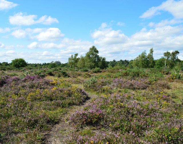
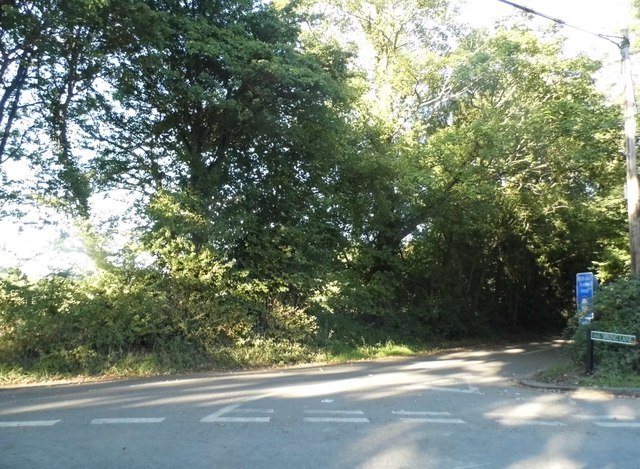
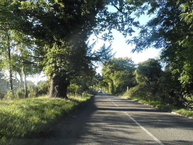
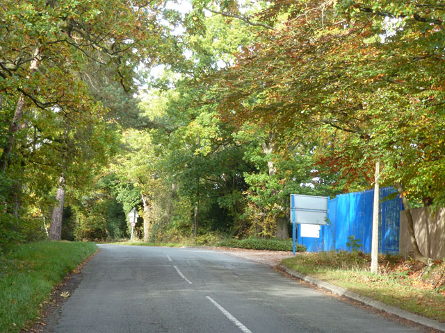
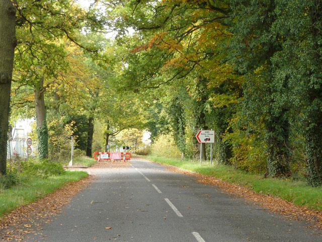
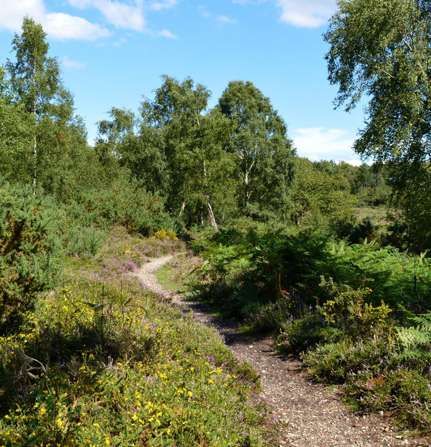
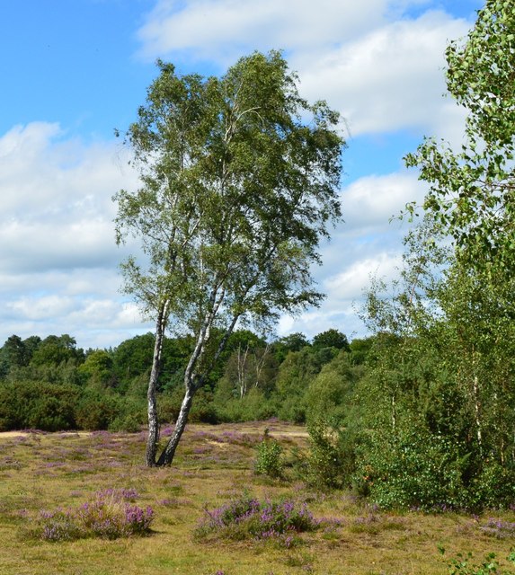
Roundwood Copse is a picturesque woodland located in Berkshire, England. Covering an area of approximately 50 hectares, it is a significant natural habitat and a popular destination for nature enthusiasts and hikers alike.
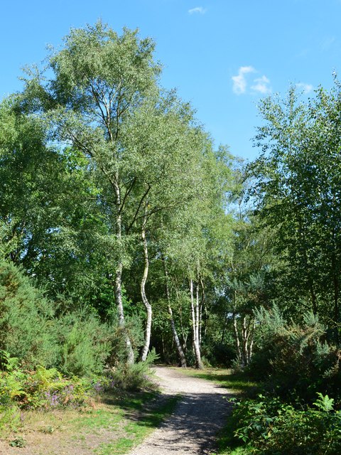
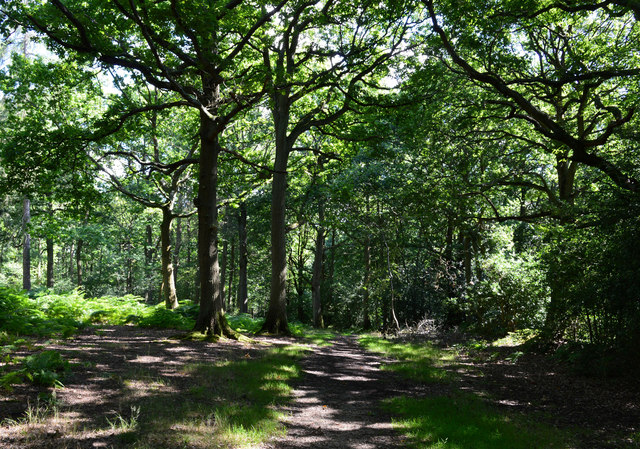
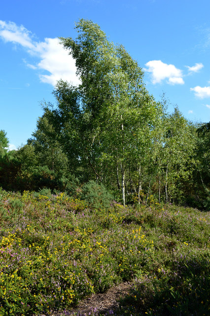
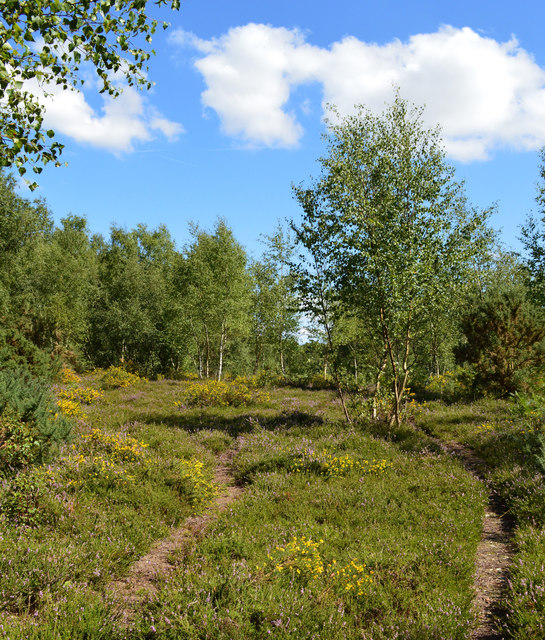
The copse is predominantly made up of broadleaf trees, with oak, ash, and beech being the most common species. These towering trees create a dense canopy that provides shelter and habitat for a wide variety of wildlife. Visitors can expect to encounter an array of bird species, including woodpeckers, owls, and various songbirds.
The forest floor is adorned with a rich carpet of ferns, bluebells, and wildflowers, which add to the copse's natural beauty. A network of well-maintained walking trails crisscross the woodland, allowing visitors to explore its depths and discover its hidden treasures.
Roundwood Copse is also home to a diverse range of fauna, including deer, squirrels, and rabbits. The copse provides an ideal habitat for these creatures, offering them protection and a source of food. The presence of these animals adds to the copse's charm and provides visitors with the opportunity to observe them in their natural environment.
The copse is managed by local authorities, who ensure its preservation and conservation. They actively engage in tree planting and woodland management activities to maintain the copse's ecological balance and enhance its biodiversity.
Overall, Roundwood Copse is a tranquil and enchanting woodland, offering a serene escape from the hustle and bustle of everyday life. Its natural beauty, diverse wildlife, and well-maintained trails make it a must-visit destination for nature lovers and outdoor enthusiasts in Berkshire.
If you have any feedback on the listing, please let us know in the comments section below.
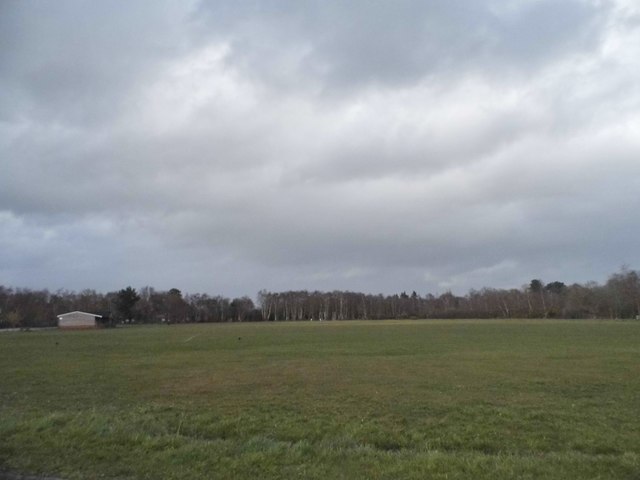
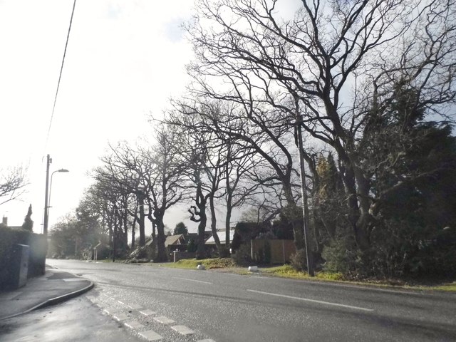
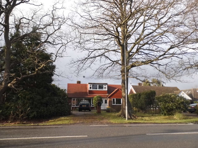
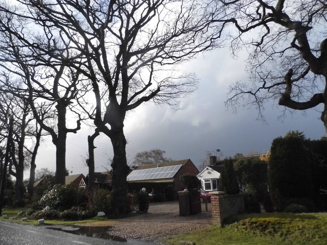
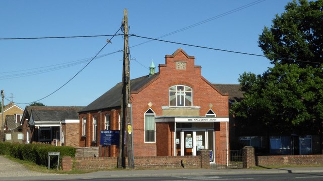
Roundwood Copse Images
Images are sourced within 2km of 51.364495/-1.1258034 or Grid Reference SU6063. Thanks to Geograph Open Source API. All images are credited.
Roundwood Copse is located at Grid Ref: SU6063 (Lat: 51.364495, Lng: -1.1258034)
Unitary Authority: West Berkshire
Police Authority: Thames Valley
What 3 Words
///seat.verve.refrained. Near Tadley, Hampshire
Nearby Locations
Related Wikis

Decoy Pit, Pools and Woods
Decoy Pit, Pools and Woods is a 17.7-hectare (44-acre) biological Site of Special Scientific Interest south of Aldermaston in Berkshire. An area of 8 hectares...

Aldermaston Soke
Aldermaston Soke is a hamlet that lies on the county boundary between Berkshire and Hampshire, and is administratively part of the civil parish of Mortimer...

Pamber Heath
Pamber Heath is a village in north Hampshire, England. Situated within the civil parish of Pamber, the village lies at the north end of Pamber Forest...
Tadley Calleva F.C.
Tadley Calleva Football Club are a football club based in Tadley, Hampshire, England. The club is affiliated to the Hampshire Football Association. The...
Orion (laser)
The Orion Laser Facility (also known as the Orion Laser) is a high power laser facility based at the Atomic Weapons Establishment (AWE) on the former RAF...
Sceptre (fusion reactor)
Sceptre was a series of early fusion power devices based on the Z-pinch concept of plasma confinement, built in the UK starting in 1956. They were the...

Atomic Weapons Establishment
The Atomic Weapons Establishment (AWE) is a United Kingdom Ministry of Defence research facility responsible for the design, manufacture and support of...
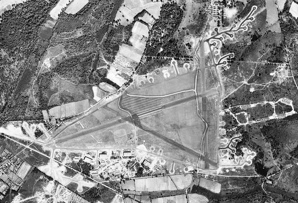
RAF Aldermaston
Royal Air Force Aldermaston, or more simply RAF Aldermaston, is a former Royal Air Force station located 8 miles (13 km) east of Newbury, Berkshire and...
Nearby Amenities
Located within 500m of 51.364495,-1.1258034Have you been to Roundwood Copse?
Leave your review of Roundwood Copse below (or comments, questions and feedback).