Langborough Clump
Wood, Forest in Northamptonshire
England
Langborough Clump
Langborough Clump is a captivating woodland area located in Northamptonshire, England. Nestled within the picturesque countryside, it is a haven for nature enthusiasts, offering a serene and tranquil environment. The clump measures approximately 15 hectares and is situated near the village of Langborough, making it easily accessible for both locals and visitors.
The woodland is predominantly composed of mature broadleaf trees, including oak, beech, and ash, which provide a rich canopy and create a dense forest-like atmosphere. The undergrowth is filled with various shrubs, wildflowers, and ferns, adding to the overall charm of the area.
Langborough Clump is home to a diverse array of wildlife, making it a popular spot for birdwatching and nature photography. Visitors may catch a glimpse of woodpeckers, nuthatches, and tawny owls among the trees, while the forest floor is frequented by badgers, foxes, and rabbits. The clump also boasts a vibrant insect population, with butterflies and dragonflies flitting about during the warmer months.
The woodland is crisscrossed by well-maintained footpaths, allowing visitors to explore the area at their own pace. These paths lead to several scenic viewpoints, providing breathtaking vistas of the surrounding countryside. Additionally, Langborough Clump is known for its ancient trees, some of which are believed to be centuries old, adding a touch of historical significance to the site.
Managed and maintained by local conservation groups, Langborough Clump remains a cherished natural treasure. Its peaceful ambiance and diverse ecosystem make it an ideal destination for those seeking solace in nature or an opportunity to immerse themselves in the beauty of Northamptonshire's woodlands.
If you have any feedback on the listing, please let us know in the comments section below.
Langborough Clump Images
Images are sourced within 2km of 52.302546/-1.1124985 or Grid Reference SP6067. Thanks to Geograph Open Source API. All images are credited.


Langborough Clump is located at Grid Ref: SP6067 (Lat: 52.302546, Lng: -1.1124985)
Unitary Authority: West Northamptonshire
Police Authority: Northamptonshire
What 3 Words
///lovely.fled.skim. Near Long Buckby, Northamptonshire
Nearby Locations
Related Wikis

Watford Gap services
Watford Gap services are motorway services on the M1 motorway in Northamptonshire, England. They opened on 2 November 1959, the same day as the M1, making...

Watford Gap
Watford Gap is a low-lying area between two hills, close to the village of Watford, Northamptonshire, England. Engineers from Roman times onwards have...
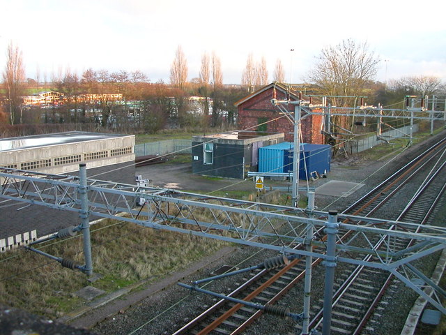
Welton railway station
Welton was a railway station on the West Coast Main Line serving the villages of Welton and Watford in Northamptonshire. The station was opened in 1838...

Murcott, Northamptonshire
Murcott is a hamlet in Watford civil parish, in Northamptonshire, approximately half a mile west of the village of Long Buckby. == External links... ==

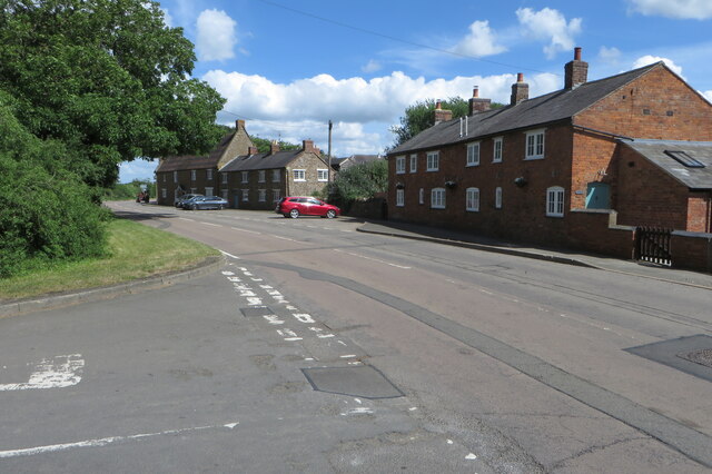
Watford, Northamptonshire
Watford is a village and civil parish in West Northamptonshire in England. At the time of the 2001 census, the parish's population was 224 people, including...
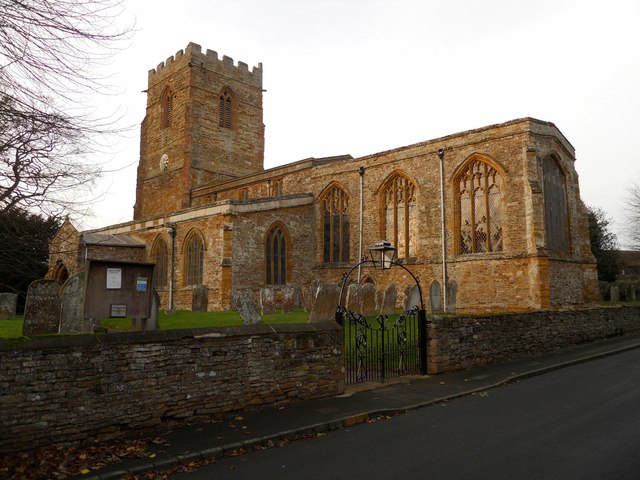
St Peter & St Paul's Church, Watford
St Peter & St Paul's Church is an Anglican Church and the parish church of Watford, Northamptonshire. It is a Grade I listed building and stands on the...

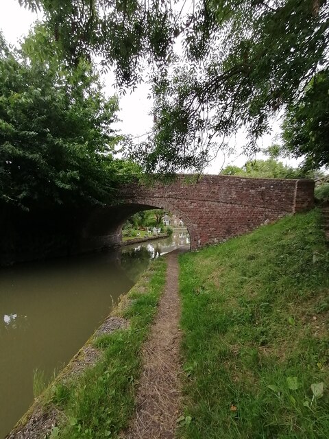
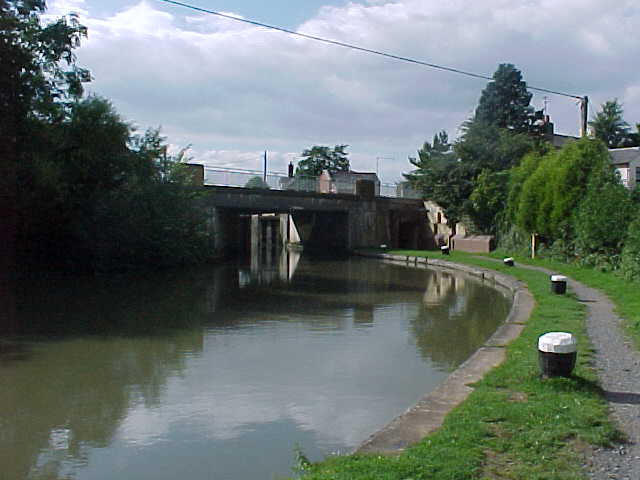
Watford Locks
Watford Locks (grid reference SP592688) is a group of seven locks on the Leicester Line of the Grand Union Canal, in Northamptonshire, England, famous...

European route E13
European route E13 is part of the International E-road network. It runs most of the length of the M1 motorway in the United Kingdom, from South Yorkshire...
Nearby Amenities
Located within 500m of 52.302546,-1.1124985Have you been to Langborough Clump?
Leave your review of Langborough Clump below (or comments, questions and feedback).