Church Spinney
Wood, Forest in Leicestershire Harborough
England
Church Spinney
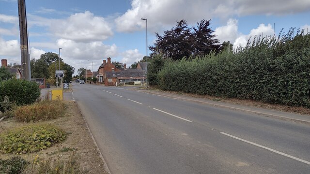
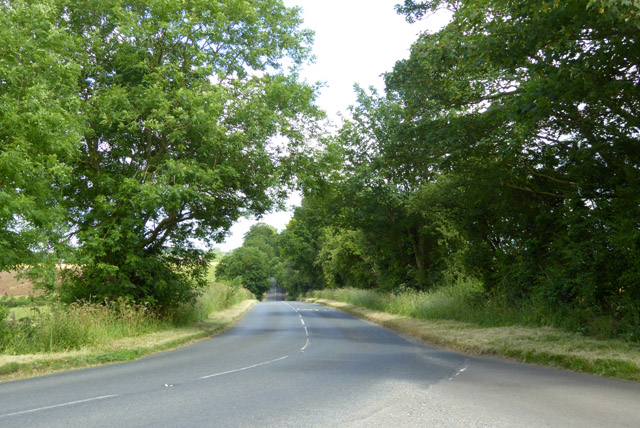
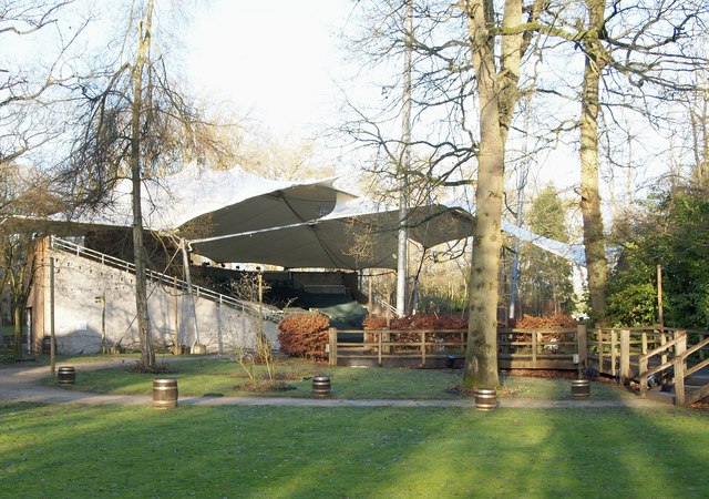
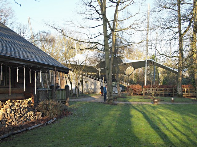
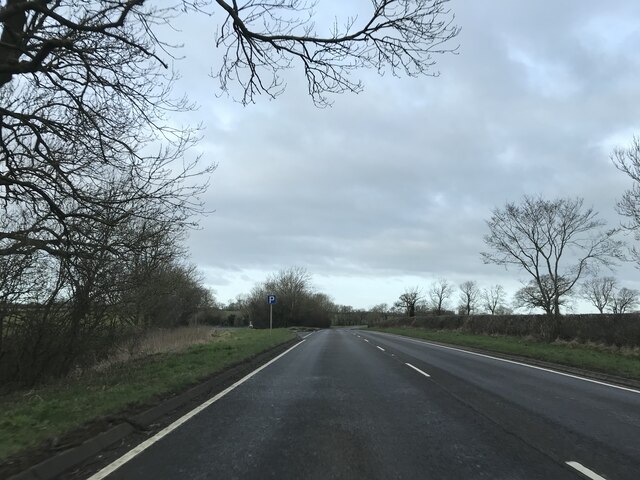
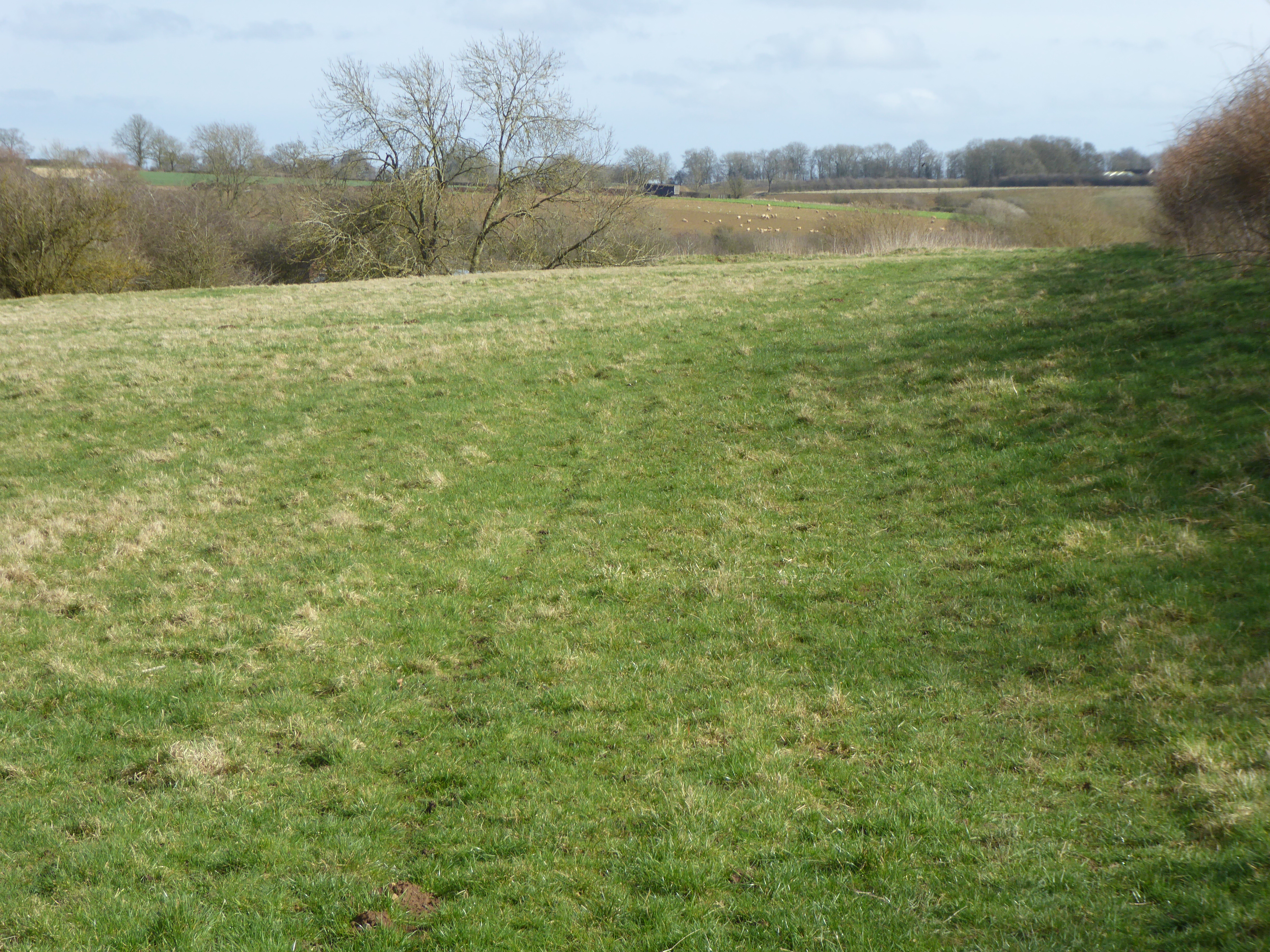
Church Spinney is a small wood located in Leicestershire, England. Situated near the village of Wood, it is known for its picturesque surroundings and tranquil atmosphere. Covering an area of approximately 10 acres, the wood is predominantly composed of a mix of deciduous and coniferous trees.
The name "Church Spinney" is derived from the nearby St. Mary's Church, which is located just a short distance away. This connection to the church adds to the historical significance of the wood, as it has likely been a part of the local landscape for centuries.
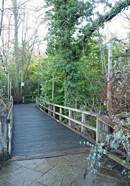
Visitors to Church Spinney can enjoy a peaceful walk along the well-maintained paths that wind through the wood. The paths meander through a diverse range of trees, including oak, beech, and pine, providing a rich tapestry of colors during the changing seasons.
The wood is also home to a variety of wildlife, making it a haven for nature enthusiasts. Birdwatchers often spot species such as woodpeckers, owls, and finches among the treetops, while small mammals like squirrels and rabbits can be seen scurrying through the undergrowth.
Church Spinney offers an excellent opportunity for residents and visitors alike to escape the hustle and bustle of everyday life and immerse themselves in the tranquility of nature. Its proximity to the village of Wood makes it easily accessible, and its natural beauty makes it a popular spot for leisurely walks, picnics, and photography.
If you have any feedback on the listing, please let us know in the comments section below.
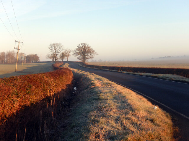
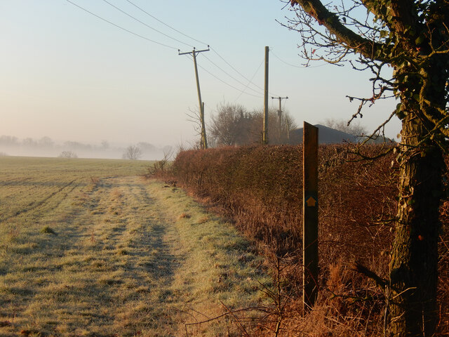
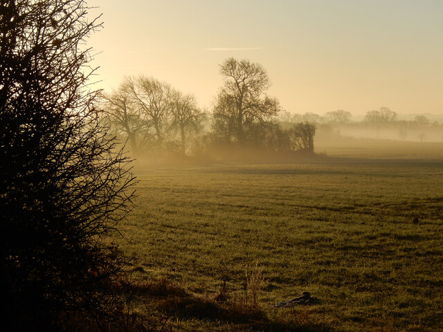
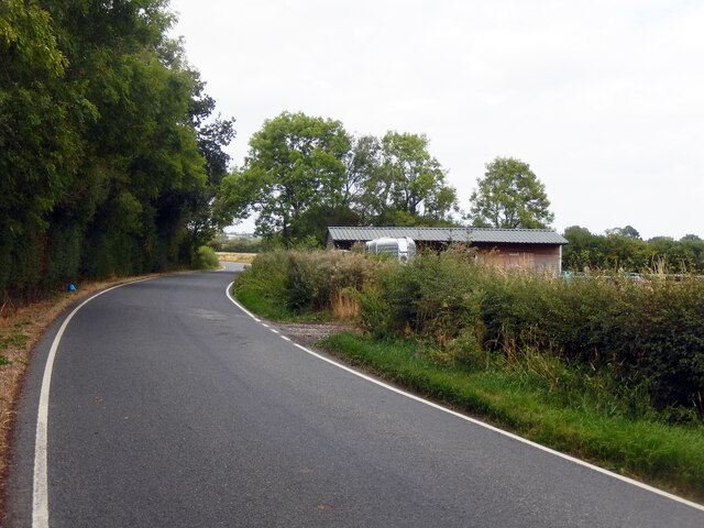
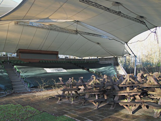
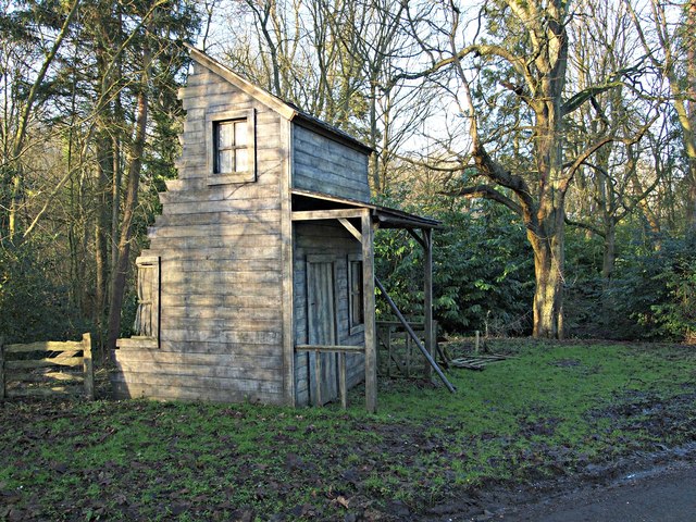
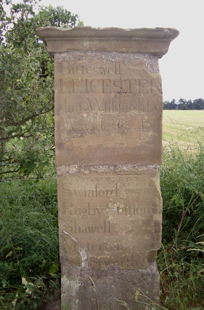
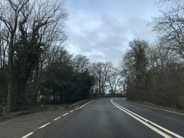
Church Spinney Images
Images are sourced within 2km of 52.440255/-1.1117502 or Grid Reference SP6082. Thanks to Geograph Open Source API. All images are credited.

Church Spinney is located at Grid Ref: SP6082 (Lat: 52.440255, Lng: -1.1117502)
Administrative County: Leicestershire
District: Harborough
Police Authority: Leicestershire
What 3 Words
///cats.pickle.procured. Near Husbands Bosworth, Leicestershire
Nearby Locations
Related Wikis

Kilworth House
Kilworth House is a four star country house hotel, located west of North Kilworth, Leicestershire. == History == This grade II listed Italianate country...

South Kilworth
South Kilworth is a village and civil parish in the southern part of Leicestershire, England, south of North Kilworth. The parish has a population of 430...

North Kilworth Nature Reserve
North Kilworth Nature Reserve is a 2.0 hectares (4.9 acres) Local Nature Reserve in North Kilworth Leicestershire. It is owned and managed by Harborough...
North Kilworth
North Kilworth is a village and civil parish in the Harborough district, in south Leicestershire, England, north of South Kilworth. The population of the...
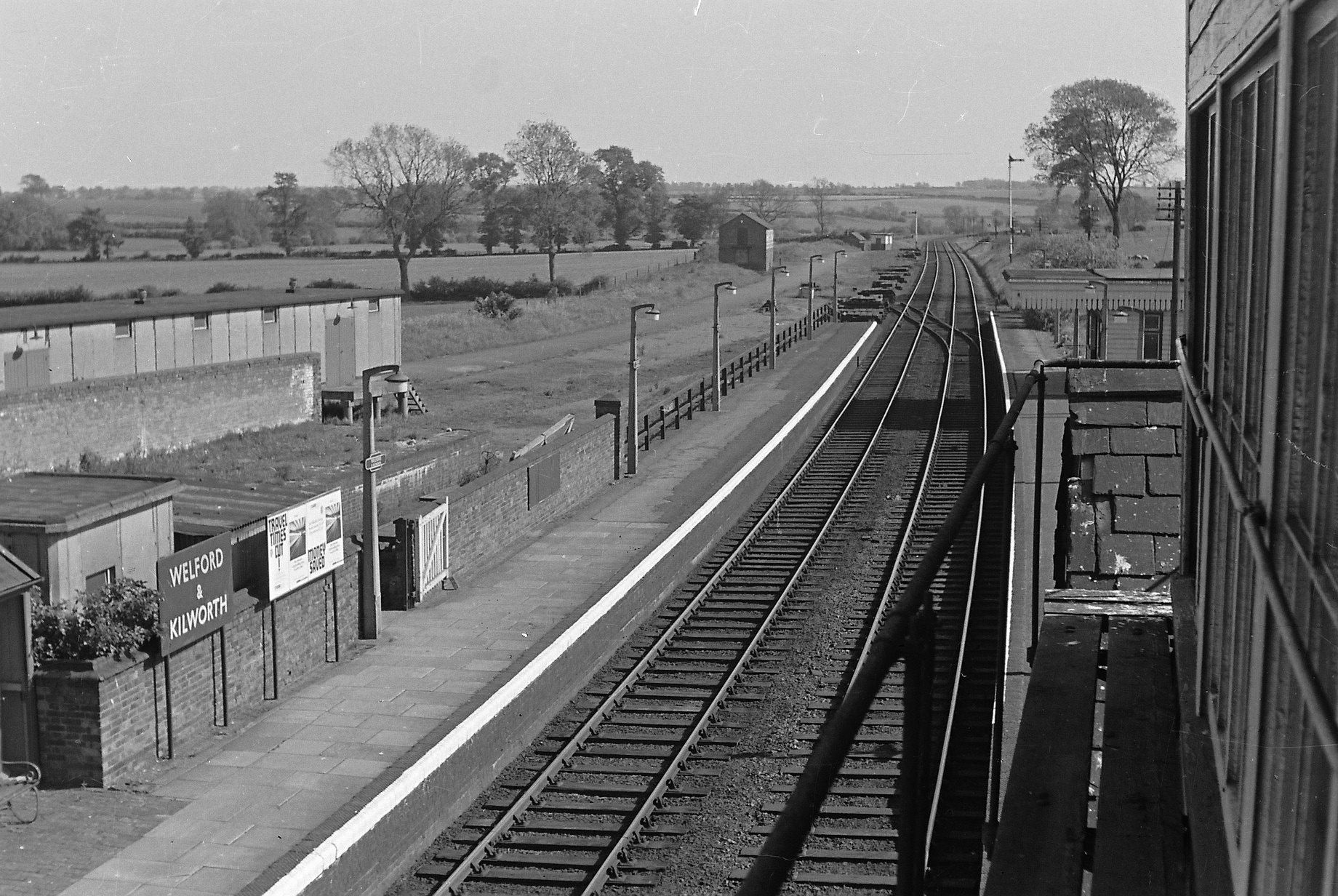
Welford and Kilworth railway station
Welford and Kilworth railway station was a railway station serving Welford and North and South Kilworth in the English county of Leicestershire. It was...

Stanford Reservoir
Stanford Reservoir is a drinking water reservoir on the River Avon, England. It lies on the county boundary between Leicestershire and Northamptonshire...
Bosworth Mill Meadow
Bosworth Mill Meadow is a 5.7-hectare (14-acre) biological Site of Special Scientific Interest north-west of Welford in Northamptonshire.This hay meadow...

Westrill and Starmore
Westrill and Starmore is a civil parish in the Harborough district of Leicestershire, England. It has no settlement as such as it is one of the least populated...
Nearby Amenities
Located within 500m of 52.440255,-1.1117502Have you been to Church Spinney?
Leave your review of Church Spinney below (or comments, questions and feedback).