Aberfan

Settlement in Glamorgan

Wales

Aberfan

Forest path towards Mynydd Merthyr
Forest path towards Mynydd Merthyr Credit: Alan Hughes

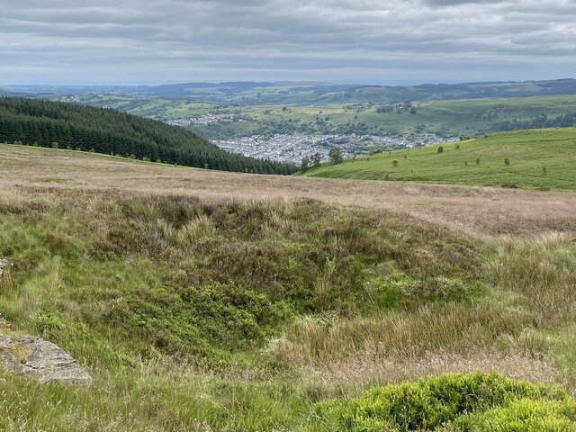
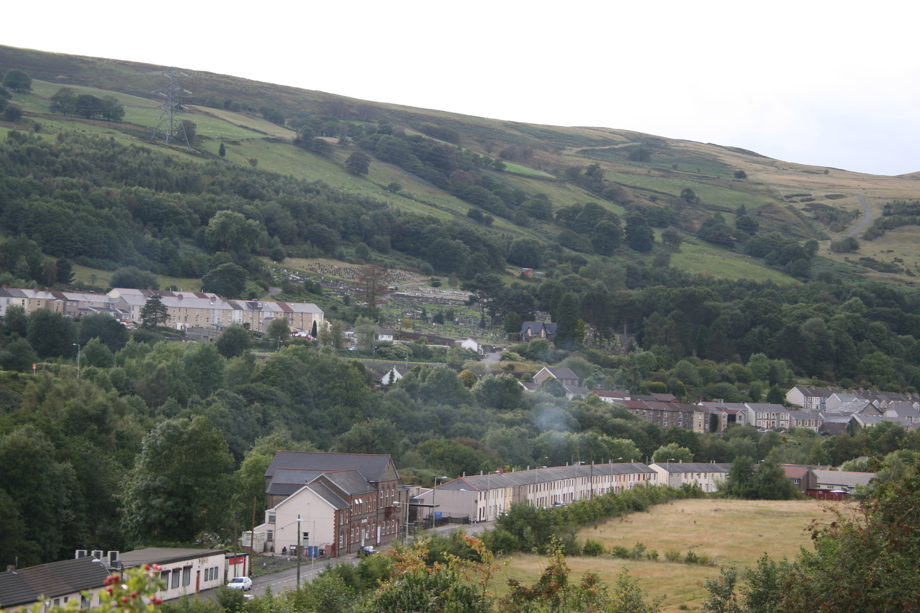
Aberfan is a small community located in Glamorgan, Wales. Nestled in the Taff Valley, it is situated about four miles south of Merthyr Tydfil and 20 miles north of Cardiff. The village is primarily known for the tragic Aberfan disaster that occurred on October 21, 1966.

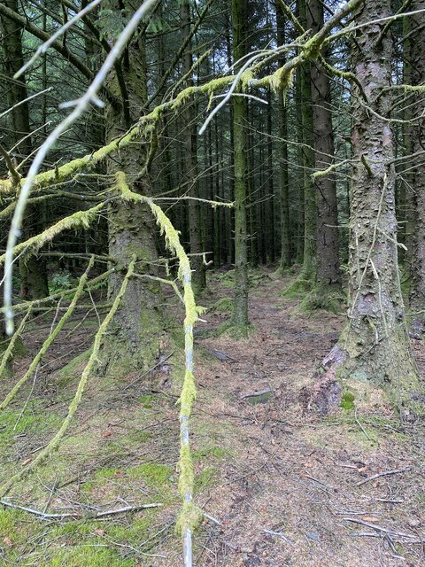
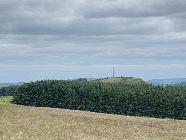
Prior to the disaster, Aberfan was a close-knit mining community, with the majority of its residents employed in the nearby colliery. The village was surrounded by lush green hills and had a picturesque charm. It was home to several shops, schools, and places of worship, serving the needs of its approximately 5,000 inhabitants.

However, on that fateful day in 1966, a catastrophic event unfolded when a coal tip on the hillside above the village collapsed, engulfing Pantglas Junior School and nearby houses. The disaster claimed the lives of 144 people, including 116 children, leaving the community devastated and forever changed.

In the aftermath of the tragedy, Aberfan received an outpouring of support from around the world. The village underwent significant changes, including the removal of the remaining coal tips and the construction of a memorial garden in remembrance of the victims. Today, Aberfan stands as a symbol of resilience and community spirit, with the disaster still deeply etched in its history.

Despite the tragedy, Aberfan remains a close-knit community, with a strong sense of identity and community pride. It continues to thrive, with its residents working in various industries beyond mining. The village welcomes visitors who come to pay their respects and learn about the events that forever marked Aberfan.

If you have any feedback on the listing, please let us know in the comments section below.
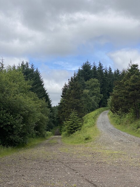
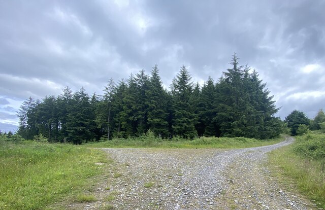
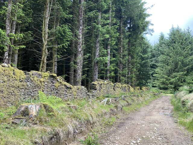
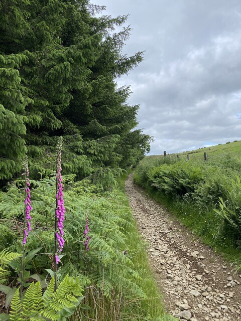
Aberfan Images

Images are sourced within 2km of 51.692822/-3.3459304 or Grid Reference SO0700. Thanks to Geograph Open Source API. All images are credited.

Forest path towards Mynydd Merthyr
Track junction The low road continues to Mynydd Merthyr, the high road to the summit of Twyn Brynbychan.
Track junction
The low road continues to Mynydd Merthyr, the high road to the summit of Twyn Brynbychan.
Track junction
Track junction
Boundary wall alongside forestry
Merthyr Vale
Merthyr Vale
Over Perthygleision Farm View along the Taff Vale.
Over Perthygleision Farm
View along the Taff Vale.
Stony path bordering forestry
On entering the forest
Dying trees by Taff Trail
Taff Trail on the edge of woodland
Taff Trail south of Aberfan
Taff Trail tunnel under A470 south of Aberfan
View over Taff valley from Taff Trail, Aberfan
Taff Trail on southern outskirts of Aberfan
Playground, Merthyr Vale
For sale - one careful owner Abandoned moped on Pen Rhiwporthmon.  Mountain Ash in the distance.
For sale - one careful owner
Abandoned moped on Pen Rhiwporthmon. Mountain Ash in the distance.
Pen Rhiwporthmon
Pen Rhiwporthmon
View towards Penrhiwceiber
Show me another place!

Aberfan is located at Grid Ref: SO0700 (Lat: 51.692822, Lng: -3.3459304)

Unitary Authority: Merthyr Tydfil

Police Authority: South Wales

Also known as: Aber-fan

What 3 Words

///slung.herbs.skipped. Near Aberfan, Merthyr Tydfil

Related Wikis

Aberfan

Aberfan (Welsh pronunciation: [ˌabɛrˈvan]) is a former coal mining village in the Taff Valley 4 mi (6 km) south of the town of Merthyr Tydfil, Wales. On...

Aberfan Cemetery

Aberfan Cemetery (Welsh: Mynwent Aberfan) is a cemetery near the village of Aberfan, Merthyr Tydfil. It is one of five cemeteries in Merthyr Tydfil County...
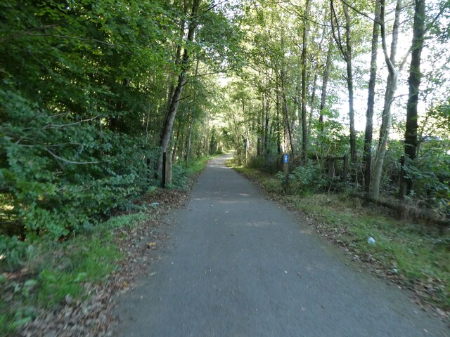
Taff Trail

The Taff Trail (Welsh: Taith Taf) is a popular walking and cycle path that runs for 55 miles (89 km) between Cardiff Bay and Brecon in Wales. It is so...

Aberfan railway station

Aberfan railway station served the village of Aberfan, near Merthyr Tydfil in Wales. Opened by the Quakers Yard & Merthyr Railway, a joint Great Western...

Merthyr Vale

Merthyr Vale (Welsh: Ynysowen or Ynyswen) is a linear village and community in the Welsh county borough of Merthyr Tydfil. Lying on the A4054 road it is...

Merthyr Vale railway station

Merthyr Vale railway station is a railway station serving the villages of Merthyr Vale and Aberfan in Merthyr Tydfil, Wales. It is located on the Merthyr...

Mount Pleasant, Merthyr Tydfil

Mount Pleasant is a small village in the south of Merthyr Tydfil County Borough, Wales. It lies about 1 km (2⁄3 mi) south of Merthyr Vale, along the A4054...

Afon Tâf High School

Afon Tâf High School (Welsh: Ysgol Uwchradd Afon Tâf) is an 11–16 mixed secondary school in Troed-y-rhiw, Merthyr Tydfil, Merthyr Tydfil County Borough...

Nearby Amenities

Located within 500m of 51.692822,-3.3459304
Noexit: yes
Lat/Long: 51.6920675/-3.3433573
Power: tower
Lat/Long: 51.6893574/-3.350126
Aberfan Disaster Memorial Garden
Historic: memorial
Lat/Long: 51.6949756/-3.3473247
Noexit: yes
Lat/Long: 51.6934287/-3.3429609
Crossing
Crossing: marked
Lat/Long: 51.6952705/-3.3420807
Place Of Worship
Aberfan Methodist Church
Addr City: Merthyr Tydfil
Addr Housename: Aberfan Methodist Church
Addr Postcode: CF48 4RB
Addr Street: Bridge Street
Denomination: methodist
Religion: christian
Lat/Long: 51.6924593/-3.3447966
Aberfan
Place: village
Wikidata: Q3244565
Wikipedia: en:Aberfan
Lat/Long: 51.6916974/-3.346164
Mini Roundabout
Lat/Long: 51.6921444/-3.3391464
Crossing
Crossing: marked
Lat/Long: 51.6920039/-3.3424943
Noexit: yes
Lat/Long: 51.6934177/-3.3431573
Aberfan Leisure Centre
Addr City: Aberfan
Addr Housename: Aberfan & Merthyr Vale Community Centre
Addr Postcode: CF48 4QE
Addr Street: Pantglas Road
Email: aberfan&merthyrvalecc@merthyr.gov.uk
Fee: yes
Fhrs Id: 919123
Leisure: sports_centre
Name Cy: Canolfan Hamdden Aberfan
Opening Hours: Mo-Fr 06:15-22:00; Sa 08:00-18:00; Su 08:00-20:00
Phone: +44 1685 727 362
Source Addr Postcode: FHRS Open Data
Website: https://www.merthyrleisure.co.uk/
Lat/Long: 51.6958213/-3.3463995
Community Centre
Aberfan & Merthyr Vale Community Centre
Addr City: Aberfan
Addr Housename: Aberfan & Merthyr Vale Community Centre
Addr Postcode: CF48 4QE
Addr Street: Pantglas Road
Email: aberfan&merthyrvalecc@merthyr.gov.uk
Fee: yes
Fhrs Id: 919123
Name Cy: Canolfan Gymunedol Aberfan a Merthyr Vale
Opening Hours: Mo-Fr 06:15-22:00; Sa 08:00-18:00; Su 08:00-20:00
Operator: Merthyr Tydfil County Borough Council
Operator Type: local_authority
Phone: +44 1685 727 362
Source Addr Postcode: FHRS Open Data
Website: https://www.merthyrleisure.co.uk/
Lat/Long: 51.6956087/-3.3457214
Aberfan
Historic Railway: station
Railway: site
Wikidata: Q4667061
Wikipedia: en:Aberfan railway station
Lat/Long: 51.6892302/-3.3441778
Bus Stop
Gordon Lennox Club
Naptan AtcoCode: 5530AWB33782
Naptan NaptanCode: mtyatgd
Survey Date: 2017-08-08
Lat/Long: 51.6895516/-3.341146
Bus Stop
Social Club
Naptan AtcoCode: 5530AWB33748
Naptan NaptanCode: mtydtpw
Survey Date: 2017-08-08
Lat/Long: 51.6965385/-3.3434796
Bus Stop
Capel Smyrna
Naptan AtcoCode: 5530AWZ26239
Naptan NaptanCode: mtyadja
Survey Date: 2017-08-08
Lat/Long: 51.691506/-3.3455875
Bus Stop
Gordon Lennox Club
Naptan AtcoCode: 5530AWB33783
Naptan NaptanCode: mtyatgj
Survey Date: 2017-08-08
Lat/Long: 51.6895225/-3.3413332
Bus Stop
Community Centre
Naptan AtcoCode: 5530AWB33750
Naptan NaptanCode: mtydtpm
Survey Date: 2017-08-08
Lat/Long: 51.6955207/-3.3452002
Bus Stop
Social Club
Naptan AtcoCode: 5530AWB33749
Naptan NaptanCode: mtydtpt
Survey Date: 2017-08-08
Lat/Long: 51.696537/-3.3436098
Bus Stop
Wingfield Street
Naptan AtcoCode: 5530AWB33753
Naptan NaptanCode: mtydtpg
Survey Date: 2017-08-08
Lat/Long: 51.6931204/-3.3459393
Bus Stop
Wingfield Street
Naptan AtcoCode: 5530AWB33752
Naptan NaptanCode: mtydtpd
Survey Date: 2017-08-08
Lat/Long: 51.693353/-3.3460474
Bus Stop
Community Centre
Naptan AtcoCode: 5530AWB33751
Naptan NaptanCode: mtydtpj
Survey Date: 2017-08-08
Lat/Long: 51.6954829/-3.3453583
Bus Stop
Coventry Playground
Naptan AtcoCode: 5530AWB33775
Naptan NaptanCode: mtyatgm
Survey Date: 2017-08-08
Lat/Long: 51.6924199/-3.3387857
Capel Smyrna
Naptan AtcoCode: 5530AWB33754
Naptan BusStopType: CUS
Naptan NaptanCode: mtyadgt
Survey Date: 2017-08-08
Lat/Long: 51.6914888/-3.3455147
Fast Food
Wye Fishbar
Addr City: Treharris
Addr Country: GB
Addr Housenumber: 14
Addr Postcode: CF48 4QL
Addr Street: Aberfan Road
Fhrs Id: 919307
Survey Date: 2019-08-15
Lat/Long: 51.6931415/-3.3458345
Fast Food
Aberfan Chinese
Addr City: Treharris
Addr Country: GB
Addr Housename: Paris House
Addr Postcode: CF48 4QN
Addr Street: Aberfan Road
Cuisine: chinese
Fhrs Id: 1030838
Survey Date: 2021-08-04
Lat/Long: 51.6925114/-3.3460021
Playground: yes
Lat/Long: 51.6891111/-3.3430108
Playground: yes
Lat/Long: 51.6890247/-3.3428324
Playground: yes
Lat/Long: 51.6890055/-3.342707
Playground: swing
Lat/Long: 51.6952808/-3.3471199
Playground: roundabout
Lat/Long: 51.6952497/-3.3469999
Playground: swing
Lat/Long: 51.6953299/-3.3469449
Playground: structure
Lat/Long: 51.6954725/-3.3469529
Direction: SSE
Generator Method: photovoltaic
Generator Output Electricity: yes
Generator Solar Modules: 6
Generator Source: solar
Generator Type: solar_photovoltaic_panel
Location: roof
Power: generator
Lat/Long: 51.691799/-3.3388734
Cafe
Aberfan Community Centre
Addr City: Merthyr Tydfil
Addr Country: GB
Addr Housename: Aberfan And Merthyr Vale Community Centre
Addr Postcode: CF48 4QE
Addr Street: Hillside Close
Fhrs Id: 918858
Survey Date: 2020-01-16
Lat/Long: 51.695855/-3.34638
Recycling
Aberfan Household Waste and Recycling Centre
Addr City: Aberfan
Addr Housename: Aberfan Household Waste and Recycling Centre
Addr Street: Aberfan Road
Not Addr Postcode: CF48 3DA
Owner: Merthyr Tydfil County Borough Council
Ownership: municipal
Recycling Type: centre
Lat/Long: 51.6952284/-3.3427048
Direction: 85
Generator Method: photovoltaic
Generator Output Electricity: yes
Generator Solar Modules: 6
Generator Source: solar
Generator Type: solar_photovoltaic_panel
Location: roof
Power: generator
Lat/Long: 51.6937085/-3.3458452
Direction: 265
Generator Method: photovoltaic
Generator Output Electricity: yes
Generator Solar Modules: 10
Generator Source: solar
Generator Type: solar_photovoltaic_panel
Location: roof
Power: generator
Lat/Long: 51.6937043/-3.3459122
Direction: 105
Generator Method: photovoltaic
Generator Output Electricity: yes
Generator Solar Modules: 4
Generator Source: solar
Generator Type: solar_photovoltaic_panel
Location: roof
Power: generator
Lat/Long: 51.6944712/-3.3443378
Direction: 195
Generator Method: photovoltaic
Generator Output Electricity: yes
Generator Solar Modules: 5
Generator Source: solar
Generator Type: solar_photovoltaic_panel
Location: roof
Power: generator
Lat/Long: 51.6944541/-3.3442774
Direction: 285
Generator Method: photovoltaic
Generator Output Electricity: yes
Generator Solar Modules: 9
Generator Source: solar
Generator Type: solar_photovoltaic_panel
Location: roof
Power: generator
Lat/Long: 51.6944861/-3.3443955
Party Rocks Bounce
Addr City: Aberfan
Addr Housenumber: 11
Addr Postcode: CF48 4QZ
Addr Street: Mackintosh Street
Phone: 07925976676
Shop: party
Website: https://www.partyrocksbounce.co.uk/
Lat/Long: 51.6937189/-3.3450998
The data included in this document is from www.openstreetmap.org. The data is made available under ODbL.

Have you been to Aberfan?

Leave your review of Aberfan below (or comments, questions and feedback).