Kempshott Copse

Wood, Forest in Hampshire Basingstoke and Deane

England

Kempshott Copse

Superstore in Hatch Warren
Superstore in Hatch Warren Credit: Mr Ignavy

Kempshott Copse is a picturesque woodland area located in the county of Hampshire, England. Situated in the village of Kempshott, the copse covers an area of approximately 50 acres, making it a significant natural feature in the region.

The copse is characterized by its dense and diverse vegetation, consisting of a mixture of broadleaf trees, including oak, beech, and ash. These towering trees create a dense canopy, providing shade and shelter for a variety of wildlife. The forest floor is carpeted with a rich assortment of plants, such as bluebells, primroses, and ferns, adding to the copse's natural beauty.

Kempshott Copse is well-known for its biodiversity, attracting a wide range of wildlife species. The woodland is home to various bird species, including great spotted woodpeckers, tawny owls, and chiffchaffs. Additionally, mammals such as foxes, badgers, and deer can be spotted within the copse.

The copse offers visitors a tranquil and peaceful environment, ideal for leisurely walks and nature exploration. A network of well-maintained footpaths crisscrosses the woodland, allowing visitors to navigate through the copse easily. The paths lead to several clearings and viewpoints, offering panoramic views of the surrounding countryside.

Kempshott Copse is a popular destination for nature enthusiasts, photographers, and families seeking a day out in nature. Its natural beauty, diverse flora and fauna, and accessibility make it a cherished woodland area in Hampshire.

If you have any feedback on the listing, please let us know in the comments section below.

Kempshott Copse Images

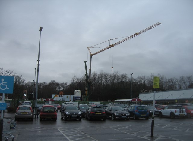
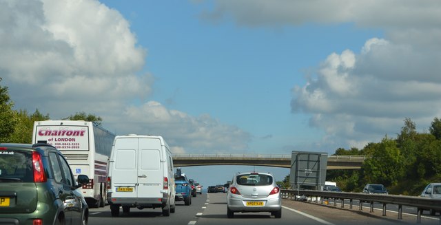
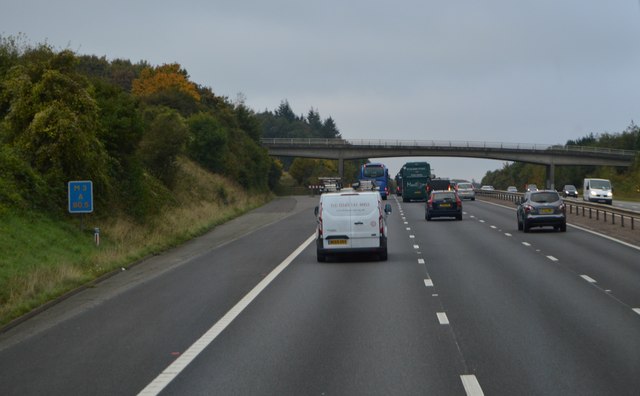
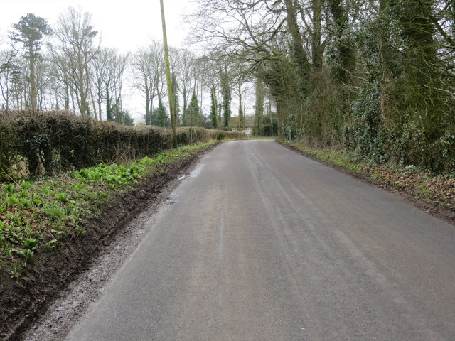
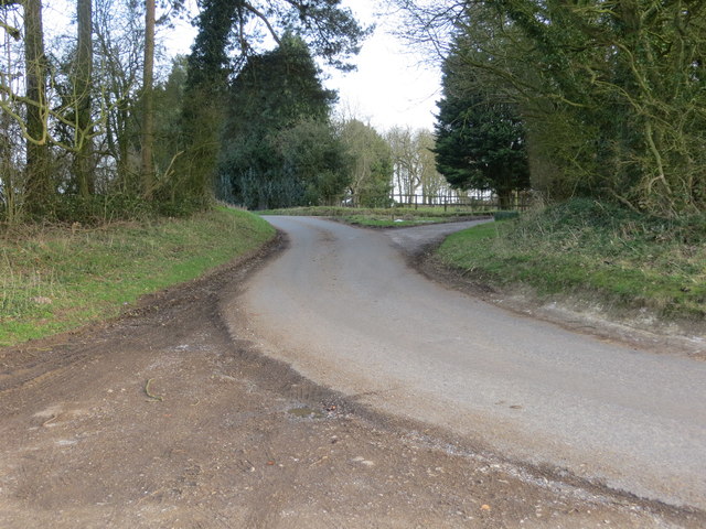
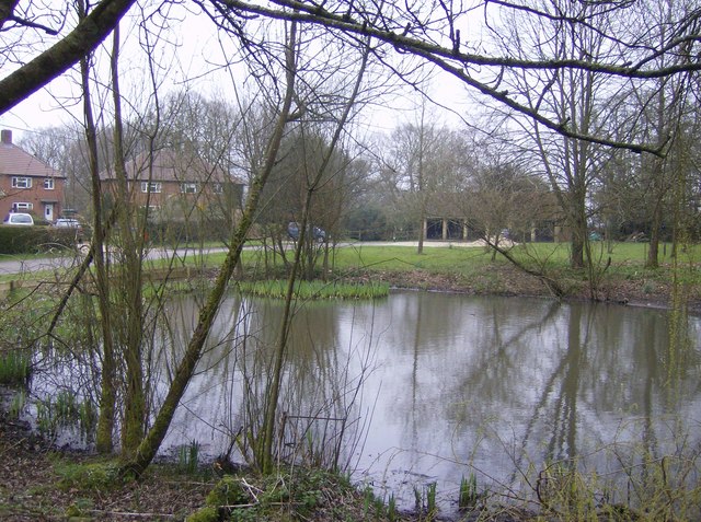
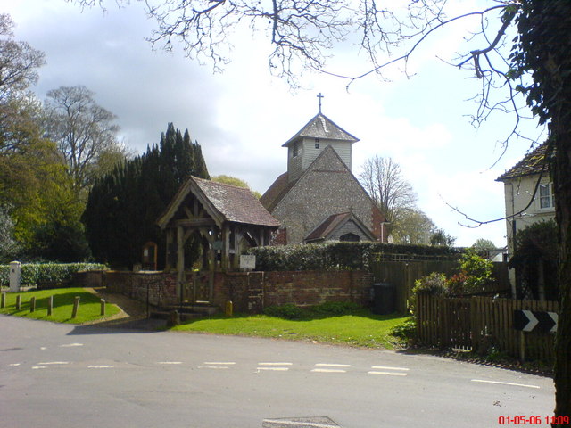
Images are sourced within 2km of 51.221089/-1.1414091 or Grid Reference SU6047. Thanks to Geograph Open Source API. All images are credited.

Superstore in Hatch Warren
Large crane for small works Not clear what this was needed for, there was no obvious sign of major construction work.
Large crane for small works
Not clear what this was needed for, there was no obvious sign of major construction work.
M3, eastbound The M3 motorway runs for 59 miles from Sunbury-on-Thames to Southampton. Construction started 1968 and was finally completed in 1995. The Winchester bypass through Twyford Downs was the most controversial section to be built.
Wikipedia: <span class="nowrap"><a title="http://en.wikipedia.org/wiki/M3_motorway_(Great_Britain)" rel="nofollow ugc noopener" href="http://en.wikipedia.org/wiki/M3_motorway_(Great_Britain)">Link</a><img style="margin-left:2px;" alt="External link" title="External link - shift click to open in new window" src="https://s1.geograph.org.uk/img/external.png" width="10" height="10"/></span>
M3, eastbound
The M3 motorway runs for 59 miles from Sunbury-on-Thames to Southampton. Construction started 1968 and was finally completed in 1995. The Winchester bypass through Twyford Downs was the most controversial section to be built. Wikipedia: LinkExternal link
Farmland by the M3
Farmland by the M3
M3 The M3 motorway runs for 59 miles from Sunbury-on-Thames to Southampton. Construction started 1968 and was finally completed in 1995. The Winchester bypass through Twyford Downs was the most controversial section to be built.
Wikipedia: <span class="nowrap"><a title="http://en.wikipedia.org/wiki/M3_motorway_(Great_Britain)" rel="nofollow ugc noopener" href="http://en.wikipedia.org/wiki/M3_motorway_(Great_Britain)">Link</a><img style="margin-left:2px;" alt="External link" title="External link - shift click to open in new window" src="https://s1.geograph.org.uk/img/external.png" width="10" height="10"/></span>
M3
The M3 motorway runs for 59 miles from Sunbury-on-Thames to Southampton. Construction started 1968 and was finally completed in 1995. The Winchester bypass through Twyford Downs was the most controversial section to be built. Wikipedia: LinkExternal link
Half mile to J7, M3 The M3 motorway runs for 59 miles from Sunbury-on-Thames to Southampton. Construction started 1968 and was finally completed in 1995. The Winchester bypass through Twyford Downs was the most controversial section to be built.
Wikipedia: <span class="nowrap"><a title="http://en.wikipedia.org/wiki/M3_motorway_(Great_Britain)" rel="nofollow ugc noopener" href="http://en.wikipedia.org/wiki/M3_motorway_(Great_Britain)">Link</a><img style="margin-left:2px;" alt="External link" title="External link - shift click to open in new window" src="https://s1.geograph.org.uk/img/external.png" width="10" height="10"/></span>
Half mile to J7, M3
The M3 motorway runs for 59 miles from Sunbury-on-Thames to Southampton. Construction started 1968 and was finally completed in 1995. The Winchester bypass through Twyford Downs was the most controversial section to be built. Wikipedia: LinkExternal link
Hatchwarren Lane Looking south-eastward from the Triangulation Pillar.
Hatchwarren Lane
Looking south-eastward from the Triangulation Pillar.
Farleigh Lane near Manor Farm Looking south-eastward.
Farleigh Lane near Manor Farm
Looking south-eastward.
Field south of Kempshott Copse
Field corner - south of Kempshott Copse The Wayfarer's Walk follows this route.
Field corner - south of Kempshott Copse
The Wayfarer's Walk follows this route.
A secure Shortwood's Copse See <a href="https://www.geograph.org.uk/photo/2366186">SU6046 : In Shortwood's Copse</a> for a view pre-fencing.
A secure Shortwood's Copse
See SU6046 : In Shortwood's Copse for a view pre-fencing.
Shortwood's Copse On some maps this corner could be Kempshott Copse, the two woodlands appear as one these days.
Shortwood's Copse
On some maps this corner could be Kempshott Copse, the two woodlands appear as one these days.
Field boundary south of Shortwood's Copse
Field south of Shortwood's Copse Inwood Copse in the background.
Field south of Shortwood's Copse
Inwood Copse in the background.
Field south of Shortwood's Copse
Field boundary south of Shortwood's Copse
Show me another place!

Kempshott Copse is located at Grid Ref: SU6047 (Lat: 51.221089, Lng: -1.1414091)

Administrative County: Hampshire

District: Basingstoke and Deane

Police Authority: Hampshire

What 3 Words

///shadowing.coping.bonfires. Near Basingstoke, Hampshire

Related Wikis

Farleigh Hill

Farleigh Hill is one of the highest points in the county of Hampshire, England. It is part of the Hampshire Downs and reaches a height of 208 metres (682...

Broadmere

Broadmere is a hamlet in Hampshire, England. The hamlet comes under the parish of Farleigh Wallop and its nearest town is Basingstoke, about 2 miles away...

Dummer, Hampshire

Dummer is a parish and village in Hampshire, England. It is 6 miles south-west of Basingstoke and near Junction 7 on the M3 motorway. In the 2001 census...

Beggarwood

Beggarwood is a housing estate of Basingstoke, in the English county of Hampshire. The estate is located approximately 2.5 miles (4.0 km) south-west of...

Nearby Amenities

Located within 500m of 51.221089,-1.1414091
Crossing
Bicycle: yes
Crossing Island: yes
Kerb: lowered
Lat/Long: 51.2249529/-1.1403356
Barrier: bollard
Lat/Long: 51.2248001/-1.1435571
Bus Stop
Play Park
Bench: yes
Bus: yes
Layby: no
Naptan AtcoCode: 1900HAA09220
Naptan Bearing: N
Naptan CommonName: Canberra Way
Naptan Crossing: Canberra Way
Naptan NaptanCode: hamjdgwm
Naptan Street: Beggarwood Lane
Naptan Name: Canberra Way
Naptan Verified: yes
Public Transport: platform
Shelter: yes
Source: naptan_import
Lat/Long: 51.2250518/-1.1428591
Crossing
Crossing Island: no
Kerb: lowered
Tactile Paving: yes
Lat/Long: 51.2251756/-1.1428742
Crossing
Crossing: unmarked
Crossing Markings: no
Kerb: lowered
Source: Mapbox
Lat/Long: 51.2243636/-1.1435923
Crossing
Crossing: unmarked
Crossing Markings: no
Kerb: lowered
Source: Mapbox
Lat/Long: 51.224512/-1.1434555
Bicycle Parking
Bicycle Parking: stands
Capacity: 8
Check Date: 2022-06-26
Covered: no
Lat/Long: 51.2251791/-1.1436245
Bench
Backrest: yes
Lat/Long: 51.2251699/-1.1436608
Barrier: bollard
Bollard: fixed
Lat/Long: 51.2231212/-1.1467182
Man Made: mast
Lat/Long: 51.2221931/-1.1432919
Addr Housename: Kempshott House
Addr Housenumber: Kempshott House
Building: yes
Source: NPE
Lat/Long: 51.2226271/-1.1365147
Bus Stop
Play Park
Bus: yes
Naptan AtcoCode: 1900HAA19801
Naptan Bearing: S
Naptan BusStopType: CUS
Naptan CommonName: Canberra Way
Naptan Crossing: Canberra Way
Naptan NaptanCode: hamjgtda
Naptan Street: Beggarwood Lane
Naptan Verified: no
Old Name: Canberra Way
Public Transport: platform
Source: naptan_import
Lat/Long: 51.2247744/-1.1422491
Parking
Access: destination
Parking: surface
Lat/Long: 51.2212539/-1.1467605
Phone
Emergency: phone
Fixme: approximate
Lat/Long: 51.2221189/-1.1448151
Phone
Emergency: phone
Fixme: approximate
Lat/Long: 51.2224721/-1.1449494
Crossing
Bicycle: yes
Crossing: unmarked
Crossing Island: no
Crossing Markings: no
Kerb: lowered
Tactile Paving: yes
Lat/Long: 51.2245309/-1.1417064
Barrier: kerb
Kerb: lowered
Tactile Paving: yes
Lat/Long: 51.2245353/-1.1417691
Barrier: kerb
Kerb: lowered
Tactile Paving: yes
Lat/Long: 51.2245275/-1.1416591
Barrier: bollard
Bollard: removable
Lat/Long: 51.2247493/-1.1425937
Crossing
Crossing: unmarked
Crossing Markings: no
Kerb: lowered
Source: Mapbox
Lat/Long: 51.223788/-1.1424131
Crossing
Crossing: unmarked
Crossing Markings: no
Kerb: lowered
Source: Mapbox
Lat/Long: 51.2243261/-1.1431235
Barrier: bollard
Bollard: fixed
Lat/Long: 51.2220645/-1.1469378
Crossing
Crossing: unmarked
Crossing Island: no
Crossing Markings: no
Kerb: lowered
Tactile Paving: yes
Lat/Long: 51.2235521/-1.1461205
Crossing
Crossing: unmarked
Crossing Island: no
Crossing Markings: no
Kerb: lowered
Tactile Paving: yes
Lat/Long: 51.2242883/-1.1447521
Crossing
Crossing: unmarked
Crossing Island: no
Crossing Markings: no
Kerb: lowered
Tactile Paving: yes
Lat/Long: 51.2239331/-1.1452813
Barrier: bollard
Lat/Long: 51.2252262/-1.1421217
Barrier: kerb
Kerb: lowered
Tactile Paving: yes
Lat/Long: 51.2235567/-1.1461656
Barrier: kerb
Kerb: lowered
Tactile Paving: yes
Lat/Long: 51.224329/-1.1446996
NFU Mutual
Building: office
Lat/Long: 51.2211885/-1.1466499
Building: residential
Source: Hampshire-Aerial-FCIR
Lat/Long: 51.220745/-1.1465211
Building: residential
Source: Hampshire-Aerial-FCIR
Lat/Long: 51.2208575/-1.1468269
Building: residential
Source: Hampshire-Aerial-FCIR
Lat/Long: 51.2206911/-1.1478166
Bus Stop
Britannia Drive
Bench: yes
Bus: yes
Naptan NaptanCode: hamjtgtj
Public Transport: platform
Shelter: yes
Lat/Long: 51.2246711/-1.1408151
Bus Stop
Britannia Drive
Bus: yes
Public Transport: platform
Lat/Long: 51.2249697/-1.1397068
Barrier: bollard
Bollard: fixed
Lat/Long: 51.222296/-1.1468349
The data included in this document is from www.openstreetmap.org. The data is made available under ODbL.

Have you been to Kempshott Copse?

Leave your review of Kempshott Copse below (or comments, questions and feedback).