Cowdown Copse
Wood, Forest in Hampshire Winchester
England
Cowdown Copse

Cowdown Copse is a serene and picturesque woodland located in Hampshire, England. Situated near the village of Whitchurch, this captivating forest covers an area of approximately 50 acres. The copse is a mix of deciduous and coniferous trees, creating a diverse and enchanting habitat for various wildlife species.
The woodland is predominantly dominated by oak trees, with their majestic branches stretching towards the sky. These trees provide a dense canopy that filters sunlight, creating a tranquil and shaded environment below. The forest floor is blanketed with a rich layer of leaf litter, creating a natural carpet that is home to an array of shrubs, wildflowers, and fungi.
Cowdown Copse is also home to a variety of fauna. Deer, rabbits, and squirrels can often be spotted darting between the trees, while bird enthusiasts can observe a multitude of species, including woodpeckers, thrushes, and owls. The copse is particularly known for its vibrant birdlife, with many species utilizing the trees as nesting sites.
Visitors to Cowdown Copse can enjoy a peaceful stroll along the well-maintained footpaths that wind through the woods. The paths lead to secluded clearings and small ponds, offering opportunities for quiet contemplation and wildlife observation. The copse is a popular destination for nature lovers, photographers, and those seeking a tranquil escape from the hustle and bustle of everyday life.
Overall, Cowdown Copse in Hampshire is a captivating woodland that showcases the natural beauty of the region. With its diverse flora and fauna, it offers a serene and immersive experience for those seeking a connection with nature.
If you have any feedback on the listing, please let us know in the comments section below.
Cowdown Copse Images
Images are sourced within 2km of 51.064865/-1.1472842 or Grid Reference SU5929. Thanks to Geograph Open Source API. All images are credited.


Cowdown Copse is located at Grid Ref: SU5929 (Lat: 51.064865, Lng: -1.1472842)
Administrative County: Hampshire
District: Winchester
Police Authority: Hampshire
What 3 Words
///cobble.butchers.recorders. Near New Alresford, Hampshire
Nearby Locations
Related Wikis
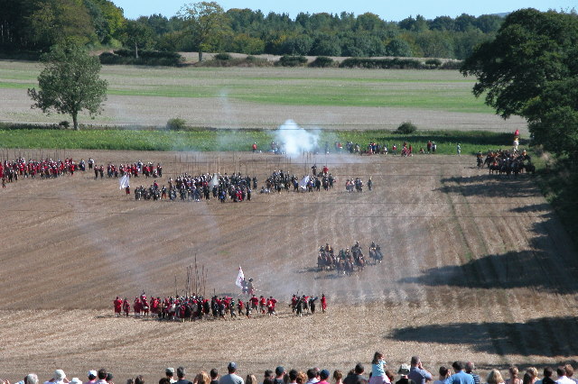
Battle of Cheriton
The Battle of Cheriton of 29 March 1644 was an important Parliamentarian victory during the First English Civil War. Sir William Waller's "Army of the...

Cheriton, Hampshire
Cheriton is a village and civil parish near Alresford in Hampshire, England. The settlement is close to the site of the 1644 Battle of Cheriton, fought...
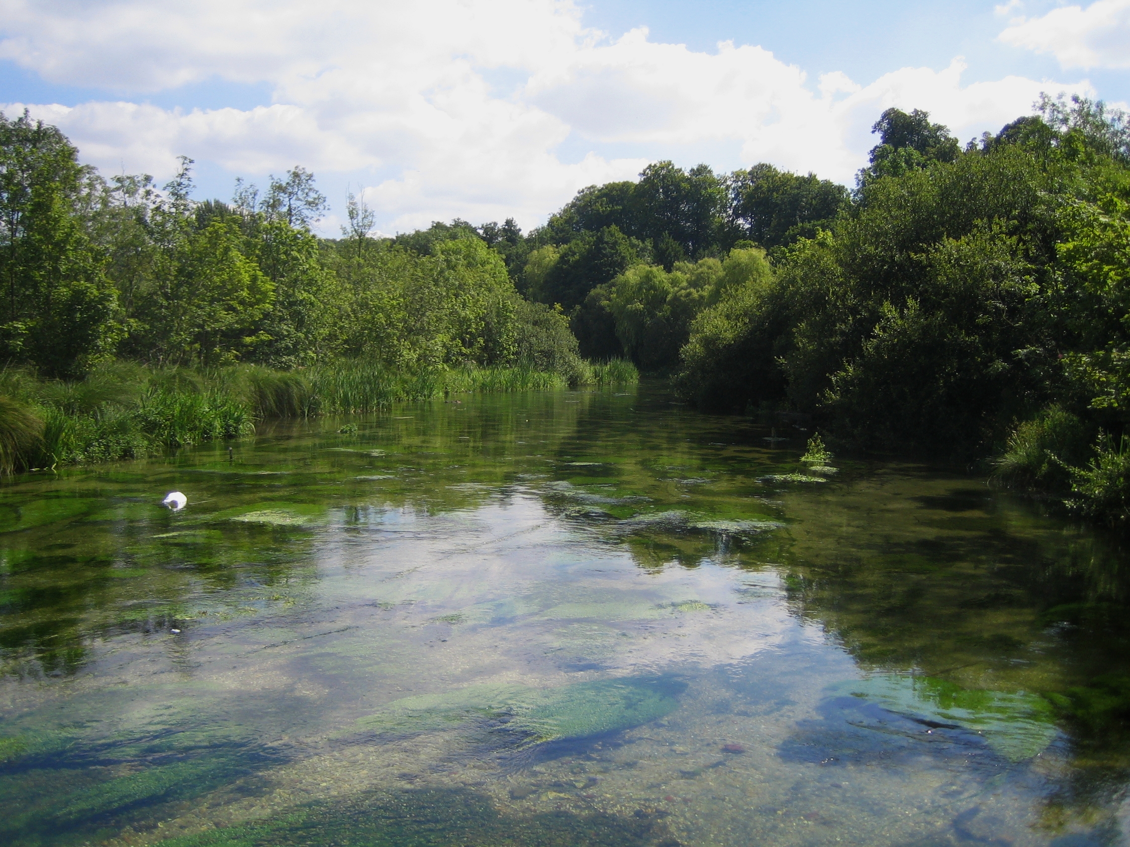
Itchen Way
The Itchen Way is a 31.80-mile (51.18 km) long-distance footpath following the River Itchen in Hampshire, England, from its source near Hinton Ampner House...
Bishops Sutton
Bishops Sutton or Bishop's Sutton is a village and civil parish one mile (1.6 km) east of the market town of Alresford in the City of Winchester district...

Bramdean and Hinton Ampner
Bramdean and Hinton Ampner is a civil parish in the English county of Hampshire, forming part of the area administered as the City of Winchester. Its main...
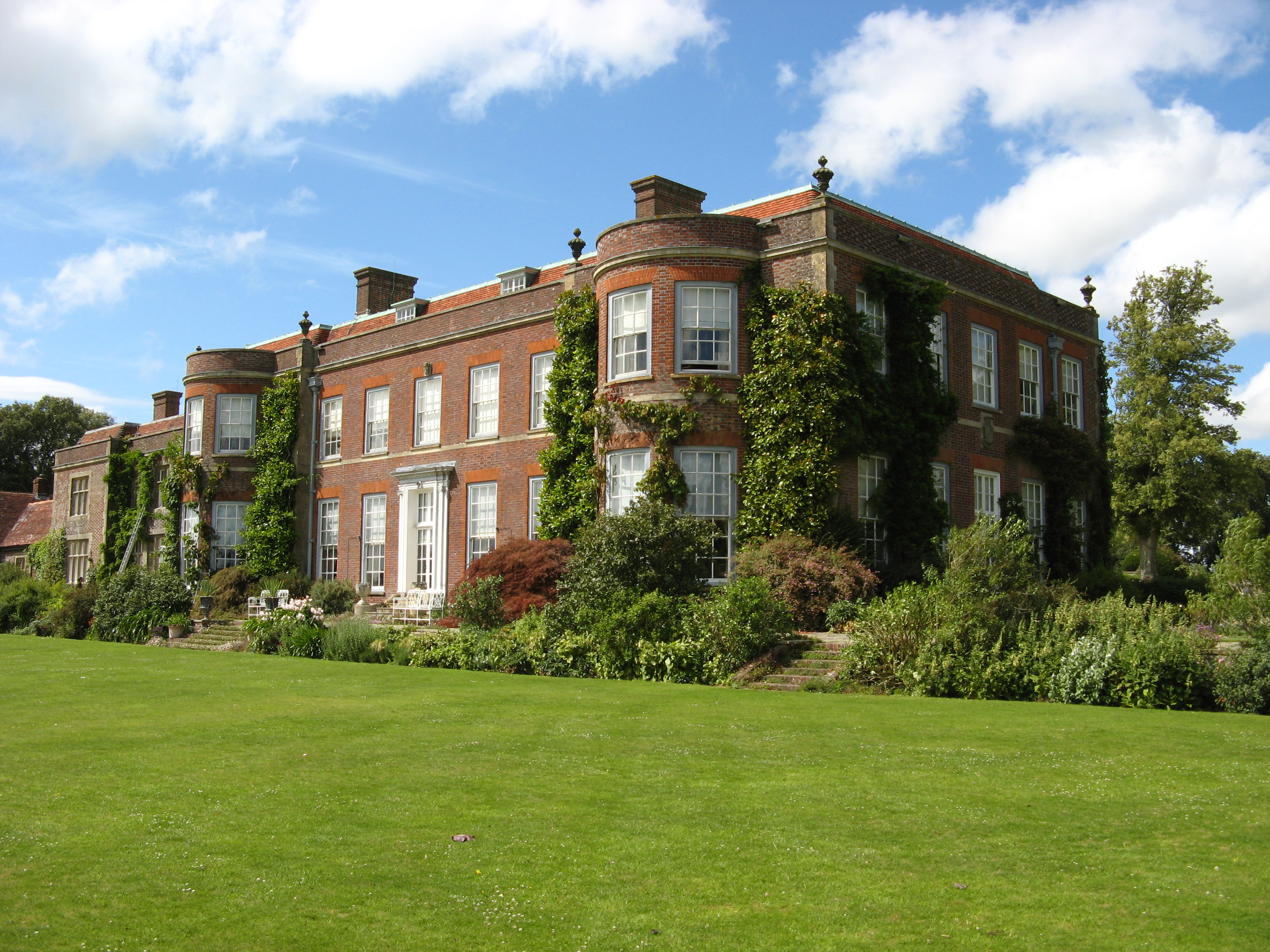
Hinton Ampner
Hinton Ampner is a village and country house estate with gardens and former civil parish, now in the parish of Bramdean and Hinton Ampner, in the Winchester...
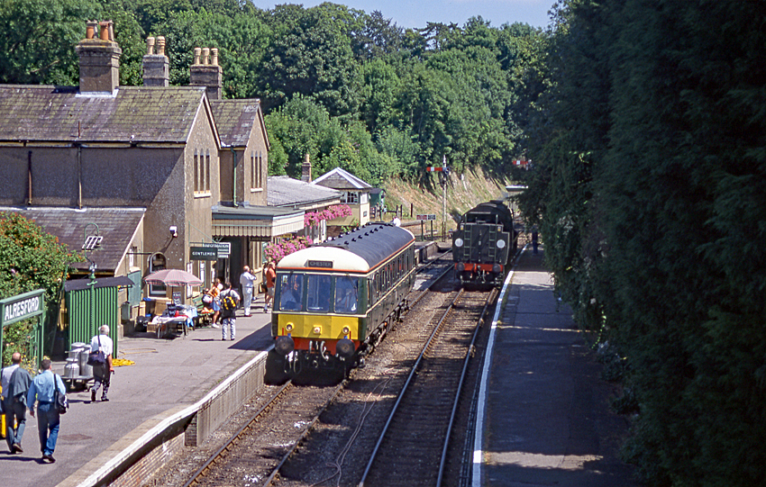
Alresford railway station (Hampshire)
Alresford railway station ( or ) in Hampshire, England, is the terminus of the Watercress Line from Alton. It is in the small town of New Alresford, 7½...

Tichborne
Tichborne is a village and civil parish 4 miles (6.4 km) east of Winchester in Hampshire, England. == History == In archaeology in the south of the parish...
Nearby Amenities
Located within 500m of 51.064865,-1.1472842Have you been to Cowdown Copse?
Leave your review of Cowdown Copse below (or comments, questions and feedback).