Watchwood Plantation
Wood, Forest in Nottinghamshire Gedling
England
Watchwood Plantation
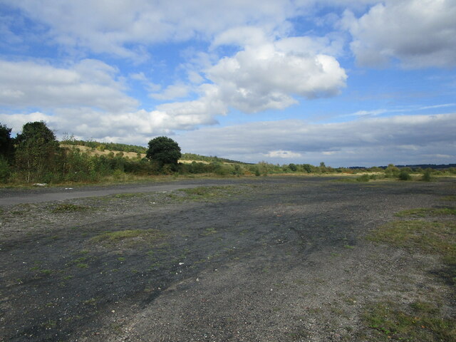
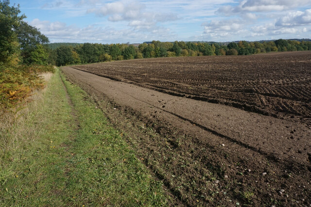
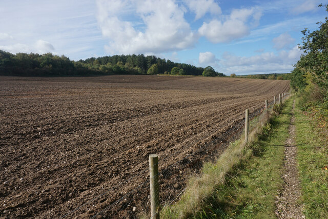
Watchwood Plantation is a picturesque woodland located in Nottinghamshire, England. Spread across an area of approximately 100 hectares, it is nestled in the heart of the county's renowned Sherwood Forest. The plantation is part of the larger Sherwood Forest National Nature Reserve, which is known for its ancient oak trees and rich biodiversity.
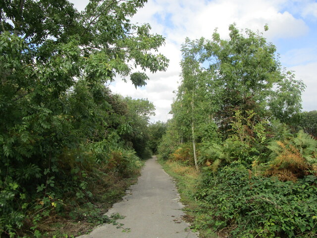
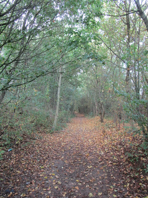
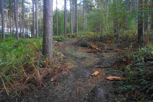
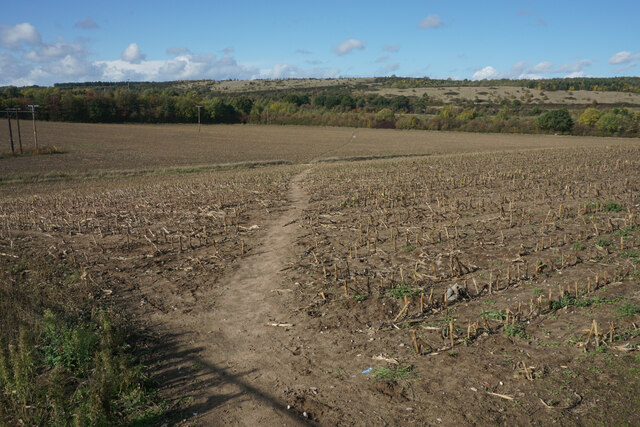
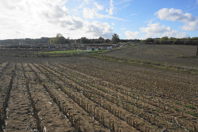
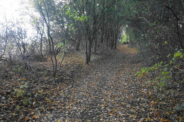
Watchwood Plantation is characterized by its dense canopy of towering trees, predominantly oak and beech, creating a serene and tranquil environment. The woodland floor is covered with a lush carpet of moss, ferns, and wildflowers, adding to its natural beauty. The plantation is crisscrossed by a network of well-maintained footpaths, allowing visitors to explore the area while immersing themselves in nature.
The woodland is home to a variety of wildlife, including deer, badgers, foxes, and a plethora of bird species. Nature enthusiasts and birdwatchers flock to Watchwood Plantation to catch a glimpse of these creatures in their natural habitat. The plantation also provides a vital habitat for rare and protected species, such as the white admiral butterfly and the lesser-spotted woodpecker.
Watchwood Plantation offers a range of recreational activities for visitors, including walking, cycling, and horse riding. The plantation is equipped with designated picnic areas and benches, allowing visitors to relax and enjoy the picturesque surroundings. The plantation is open to the public year-round and is managed by the Nottinghamshire Wildlife Trust, ensuring its preservation and conservation for future generations to enjoy.
If you have any feedback on the listing, please let us know in the comments section below.
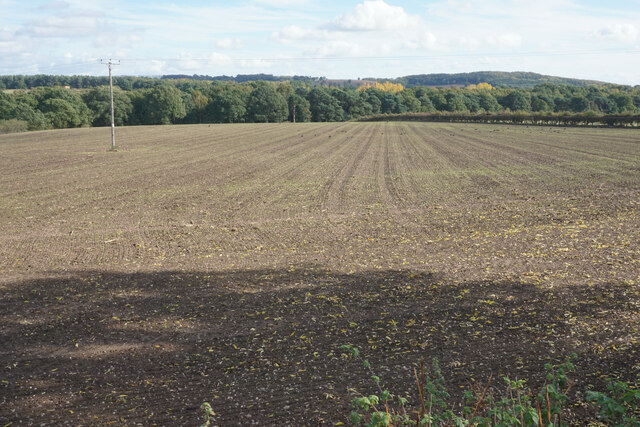
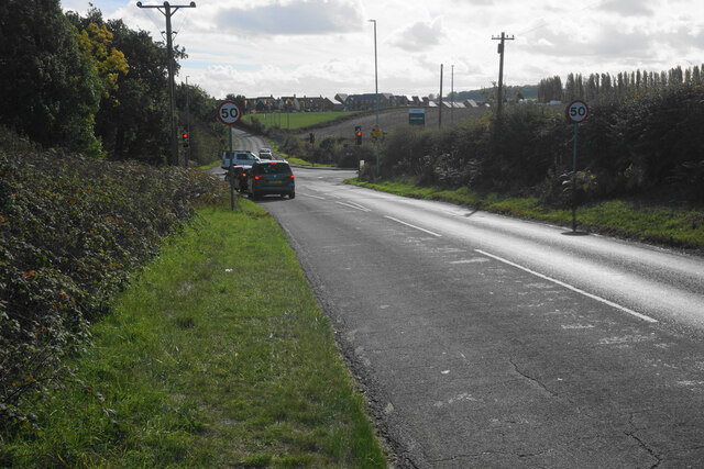
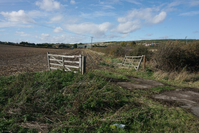
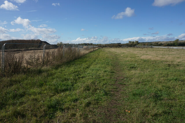
Watchwood Plantation Images
Images are sourced within 2km of 53.054525/-1.1109149 or Grid Reference SK5951. Thanks to Geograph Open Source API. All images are credited.

Watchwood Plantation is located at Grid Ref: SK5951 (Lat: 53.054525, Lng: -1.1109149)
Administrative County: Nottinghamshire
District: Gedling
Police Authority: Nottinghamshire
What 3 Words
///help.puppy.flinches. Near Calverton, Nottinghamshire
Nearby Locations
Related Wikis

Calverton Miners' Welfare F.C.
Calverton Miners' Welfare Football Club is an association football club in Calverton, near Nottingham, Nottinghamshire, England. They are currently members...

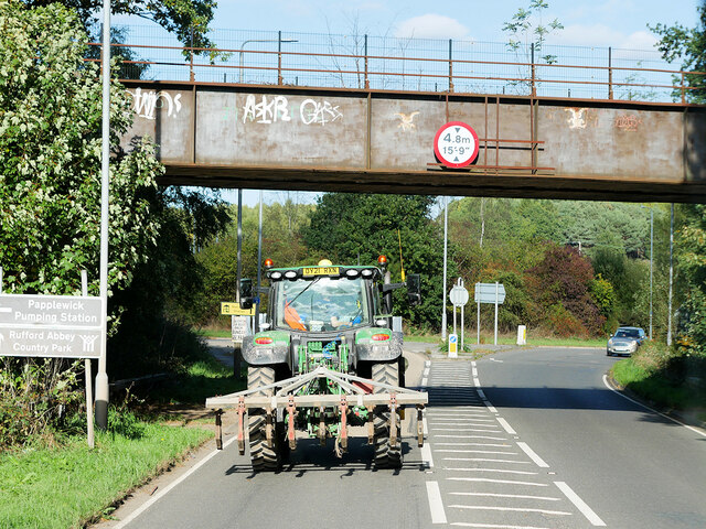
Papplewick Pumping Station
Papplewick Pumping Station, situated in open agricultural land approximately 3 miles (4.8 km) by road from the Nottinghamshire village of Papplewick, was...
Arnold Town F.C.
Arnold Town Football Club is a football club based in Arnold, Nottinghamshire, England. They are currently members of the Central Midlands League South...

Sherwood (UK Parliament constituency)
Sherwood is a constituency represented in the House of Commons of the UK Parliament since 2010 by Mark Spencer, a Conservative. The constituency takes...
Colonel Frank Seely Academy
Colonel Frank Seely Academy (formerly Colonel Frank Seely School) is a coeducational secondary school and sixth form located in Calverton in the English...
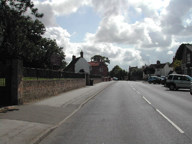
Calverton, Nottinghamshire
Calverton () is a village and civil parish in Nottinghamshire, of some 3,300 acres (1,300 ha), in the Gedling district, about 7 miles north-east of Nottingham...
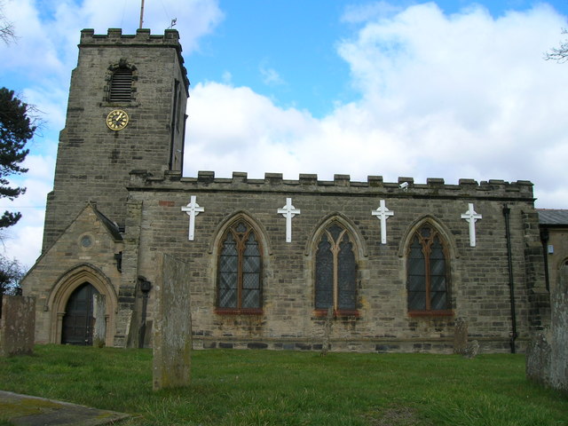
St Wilfrid's Church, Calverton
St Wilfrid's Church is a Grade II* listed parish church in the Church of England in Calverton, Nottinghamshire. == History == St Wilfrid’s church seems...
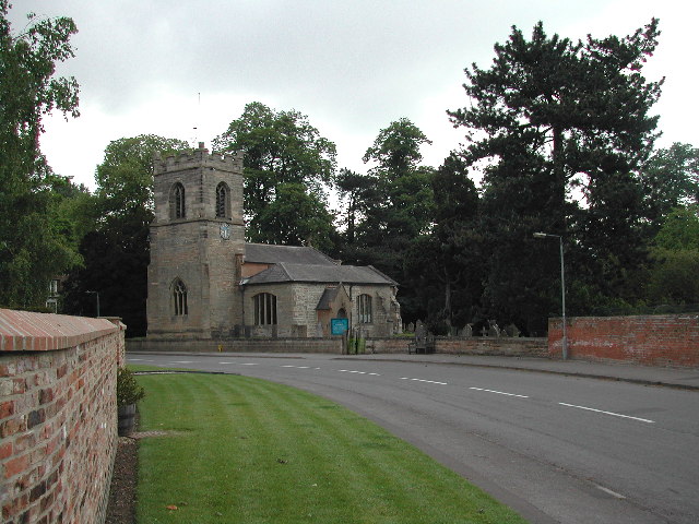
Oxton, Nottinghamshire
Oxton is a village in Nottinghamshire, England, with a 568 residents at the 2011 census. It is located 5 miles (8 km) west of Southwell, 5 miles (8 km...
Nearby Amenities
Located within 500m of 53.054525,-1.1109149Have you been to Watchwood Plantation?
Leave your review of Watchwood Plantation below (or comments, questions and feedback).