Hen Wood
Wood, Forest in Northamptonshire
England
Hen Wood

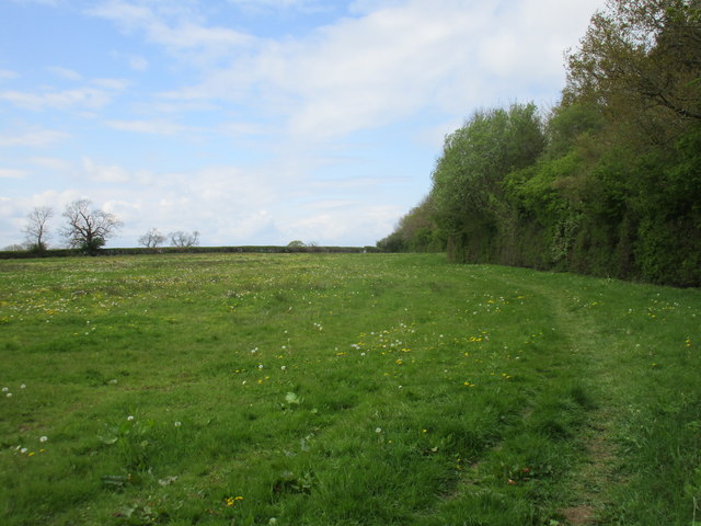
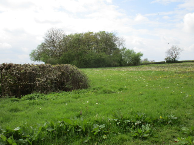
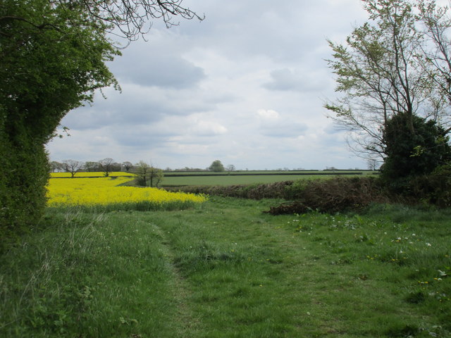
Hen Wood is a picturesque forest located in the county of Northamptonshire, England. Spanning over an area of approximately 100 acres, the wood is renowned for its natural beauty and diverse wildlife. It is situated near the village of Wood and is easily accessible to both locals and tourists.
The wood is predominantly composed of various species of broadleaf trees, including oak, ash, and beech, which create a dense and vibrant canopy throughout the forest. This lush vegetation provides a habitat for a wide range of wildlife, including numerous bird species, small mammals, and insects. Birdwatchers frequently visit Hen Wood to catch a glimpse of species such as woodpeckers, owls, and various songbirds.
The wood offers several walking trails and paths, allowing visitors to explore its serene surroundings and enjoy the tranquility of nature. These trails wind through the forest, passing by enchanting clearings, babbling brooks, and ancient trees, creating a truly immersive experience.
Hen Wood is also known for its historical significance, with evidence of human activity dating back to prehistoric times. Archaeological discoveries have revealed the presence of ancient settlements and burial sites within the wood, providing an intriguing glimpse into the area's rich history.
Overall, Hen Wood in Northamptonshire offers a perfect escape from the hustle and bustle of daily life. Its natural beauty, abundant wildlife, and historical significance make it a popular destination for nature enthusiasts, families, and history buffs alike.
If you have any feedback on the listing, please let us know in the comments section below.
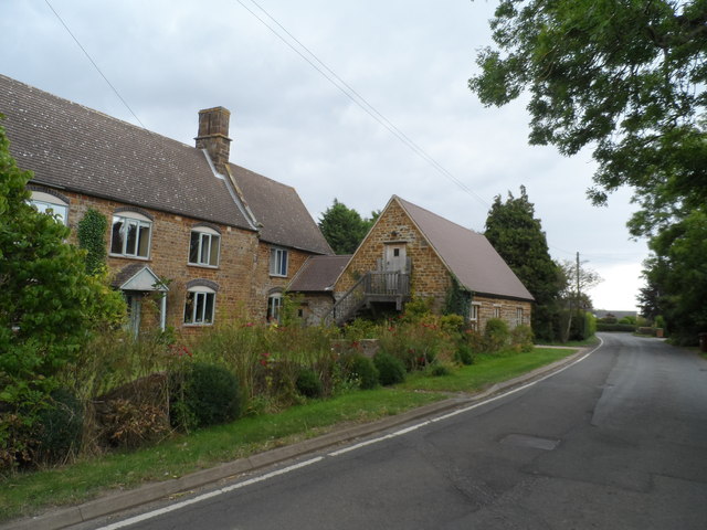
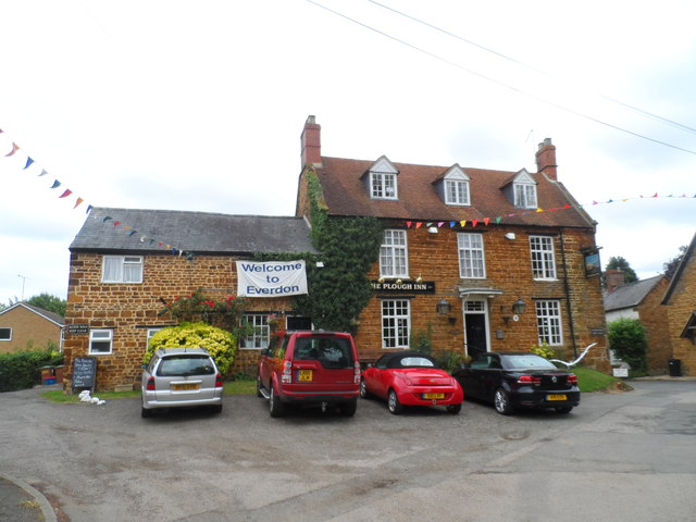
Hen Wood Images
Images are sourced within 2km of 52.194847/-1.130562 or Grid Reference SP5955. Thanks to Geograph Open Source API. All images are credited.


Hen Wood is located at Grid Ref: SP5955 (Lat: 52.194847, Lng: -1.130562)
Unitary Authority: West Northamptonshire
Police Authority: Northamptonshire
What 3 Words
///handle.warthog.over. Near Weedon Beck, Northamptonshire
Nearby Locations
Related Wikis

Mantles Heath
Mantles Heath is a 13.7-hectare (34-acre) biological Site of Special Scientific Interest south of Daventry in Northamptonshire.Most of this woodland site...

Snorscombe
Snorscombe is a ruined hamlet south of Everdon in Northamptonshire, England, whose rural location, now on private land, makes it extremely hard to access...

High Wood and Meadow
High Wood and Meadow is a 16.5-hectare (41-acre) biological Site of Special Scientific Interest between Farthingstone and Preston Capes in Northamptonshire...

Everdon Stubbs
Everdon Stubbs is a 29.5-hectare (73-acre) biological Site of Special Scientific Interest south-east of Everdon in Northamptonshire. It is owned and managed...
Everdon Priory
Everdon Priory was a priory in Northamptonshire, England. The village of Everdon is located about 6 km (4 miles) south-east of the town of Daventry. Some...

Farthingstone
Farthingstone is a village in West Northamptonshire in England. It is close to the major trunk routes of the M1 junction 16, M40 motorway, and A5 road...
Preston Capes
Preston Capes is a village and civil parish in West Northamptonshire in England. The population at the 2001 census was 188, including Canons Abbey and...

Little Everdon
Little Everdon is a small hamlet in the civil parish of Everdon in the county of Northamptonshire, England. Lying on the Nene Way long-distance footpath...
Nearby Amenities
Located within 500m of 52.194847,-1.130562Have you been to Hen Wood?
Leave your review of Hen Wood below (or comments, questions and feedback).