Pea Plantation
Wood, Forest in Nottinghamshire Gedling
England
Pea Plantation
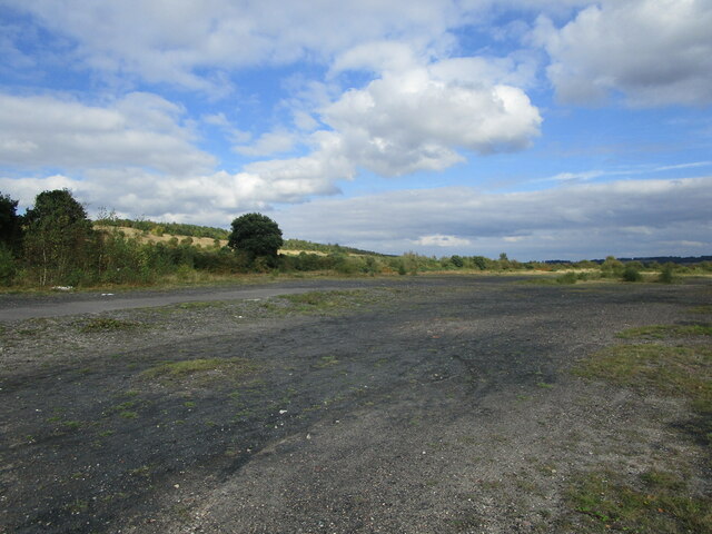
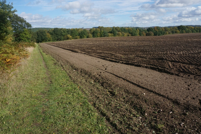
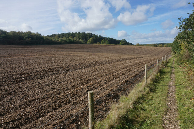
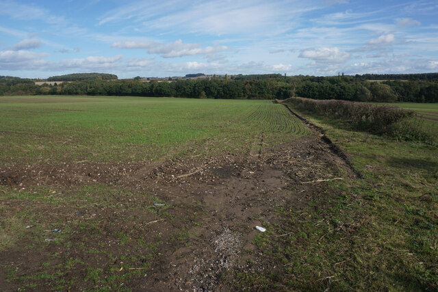
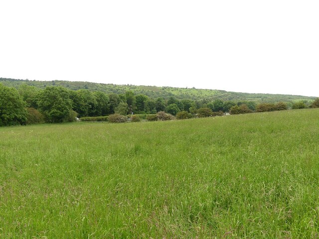
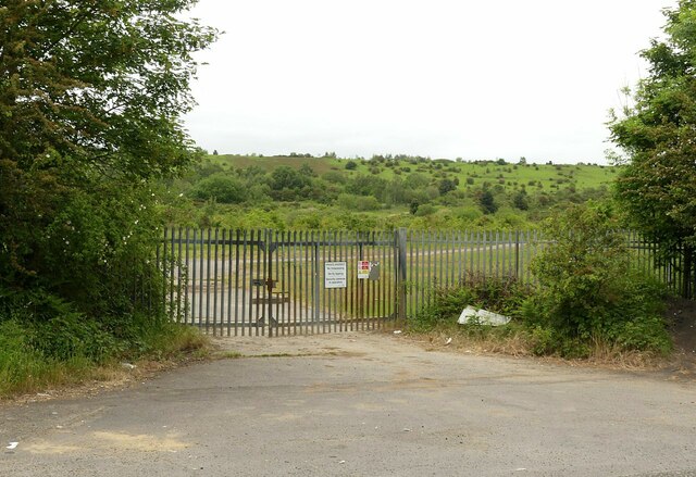
Pea Plantation, located in Nottinghamshire, is a charming wooded area known for its dense and lush forests. It is a popular destination for nature enthusiasts and outdoor enthusiasts alike. The plantation spans across a vast area, providing ample space for exploration and adventure.
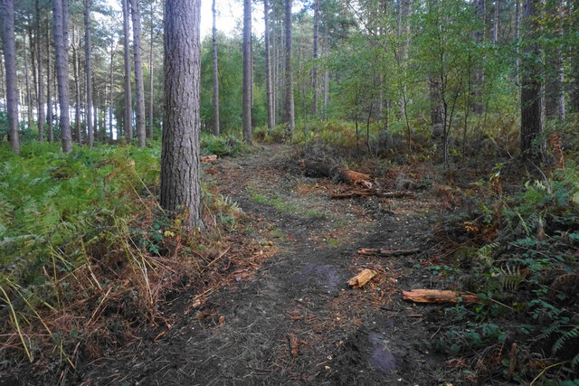
The woodland in Pea Plantation is characterized by tall, mature trees such as oak, beech, and birch, providing a picturesque backdrop for visitors. The forest floor is covered in a carpet of moss and ferns, creating a serene and peaceful atmosphere. The plantation is also home to a diverse range of wildlife, including squirrels, rabbits, and a variety of bird species.
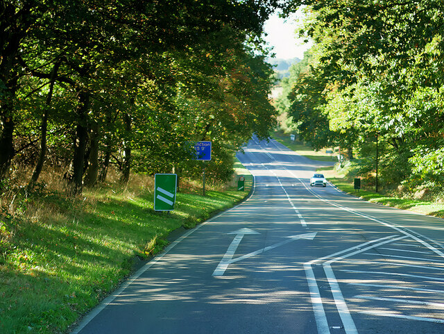
Visitors to Pea Plantation can take advantage of the well-maintained walking trails that wind through the woodland. These trails offer opportunities for hiking, jogging, or simply enjoying a leisurely stroll while immersing oneself in the beauty of nature. Along the trails, visitors may come across wooden benches and picnic spots, providing a perfect opportunity to relax and enjoy a packed lunch amidst the tranquil surroundings.
Pea Plantation is also a popular spot for birdwatching, with several designated areas for observation. Bird enthusiasts can spot various species, including woodpeckers, finches, and thrushes. The plantation's diverse ecosystem attracts a wide range of birdlife throughout the year, making it a must-visit location for ornithologists and bird lovers.
Overall, Pea Plantation in Nottinghamshire offers a captivating natural experience, with its dense forests, diverse wildlife, and well-maintained trails. Whether one is seeking solitude, adventure, or a peaceful day out, this woodland paradise has something to offer for everyone.
If you have any feedback on the listing, please let us know in the comments section below.
Pea Plantation Images
Images are sourced within 2km of 53.061986/-1.1145814 or Grid Reference SK5952. Thanks to Geograph Open Source API. All images are credited.


Pea Plantation is located at Grid Ref: SK5952 (Lat: 53.061986, Lng: -1.1145814)
Administrative County: Nottinghamshire
District: Gedling
Police Authority: Nottinghamshire
What 3 Words
///lighten.severe.removable. Near Calverton, Nottinghamshire
Nearby Locations
Related Wikis

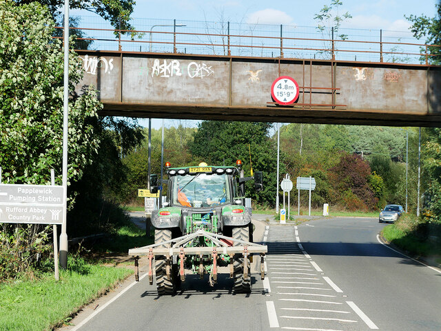
Papplewick Pumping Station
Papplewick Pumping Station, situated in open agricultural land approximately 3 miles (4.8 km) by road from the Nottinghamshire village of Papplewick, was...

Sherwood (UK Parliament constituency)
Sherwood is a constituency represented in the House of Commons of the UK Parliament since 2010 by Mark Spencer, a Conservative. The constituency takes...

Calverton Miners' Welfare F.C.
Calverton Miners' Welfare Football Club is an association football club in Calverton, near Nottingham, Nottinghamshire, England. They are currently members...
Arnold Town F.C.
Arnold Town Football Club is a football club based in Arnold, Nottinghamshire, England. They are currently members of the Central Midlands League South...

Blidworth Bottoms
Blidworth Bottoms is a hamlet in Nottinghamshire, England. It is located between Blidworth and Ravenshead. Population details are included in the civil...
Haywood Oaks
Haywood Oaks is a hamlet and former civil parish, 10 miles (16 km) from Nottingham, now in the parish of Blidworth, in the Newark and Sherwood district...
Colonel Frank Seely Academy
Colonel Frank Seely Academy (formerly Colonel Frank Seely School) is a coeducational secondary school and sixth form located in Calverton in the English...
Calverton, Nottinghamshire
Calverton () is a village and civil parish in Nottinghamshire, of some 3,300 acres (1,300 ha), in the Gedling district, about 7 miles north-east of Nottingham...
Nearby Amenities
Located within 500m of 53.061986,-1.1145814Have you been to Pea Plantation?
Leave your review of Pea Plantation below (or comments, questions and feedback).