Crick Jubilee Wood
Wood, Forest in Northamptonshire
England
Crick Jubilee Wood

Crick Jubilee Wood is a stunning woodland area located in Northamptonshire, England. Covering an impressive expanse of land, this wood is a true natural treasure for both locals and visitors alike. The wood was created in 2012 as part of the Queen's Diamond Jubilee celebrations.
As you enter Crick Jubilee Wood, you are greeted with a serene and peaceful atmosphere. The tall, majestic trees create a canopy overhead, providing shade and shelter to the area below. The wood is an ideal place for nature enthusiasts and hikers, with various walking trails meandering through the forest. The paths are well-maintained, making it easy to explore the wood and enjoy the beautiful surroundings.
The wood is home to a diverse range of flora and fauna, making it a haven for wildlife. Visitors may spot a variety of bird species, including woodpeckers and owls, as well as small mammals like squirrels and rabbits. The wood is also known for its abundance of wildflowers, with vibrant colors dotting the landscape during spring and summer.
Aside from its natural beauty, Crick Jubilee Wood also offers several amenities for visitors. There are picnic areas and benches scattered throughout the wood, allowing visitors to relax and enjoy a meal surrounded by nature. Additionally, there is a small car park available for those arriving by car.
Crick Jubilee Wood is a cherished natural gem in Northamptonshire, offering a tranquil escape from the hustle and bustle of everyday life. Whether you're looking for a peaceful walk, a picnic with loved ones, or a chance to immerse yourself in nature, this wood is the perfect destination.
If you have any feedback on the listing, please let us know in the comments section below.
Crick Jubilee Wood Images
Images are sourced within 2km of 52.353832/-1.1288706 or Grid Reference SP5973. Thanks to Geograph Open Source API. All images are credited.


Crick Jubilee Wood is located at Grid Ref: SP5973 (Lat: 52.353832, Lng: -1.1288706)
Unitary Authority: West Northamptonshire
Police Authority: Northamptonshire
What 3 Words
///rear.robes.horses. Near Crick, Northamptonshire
Nearby Locations
Related Wikis
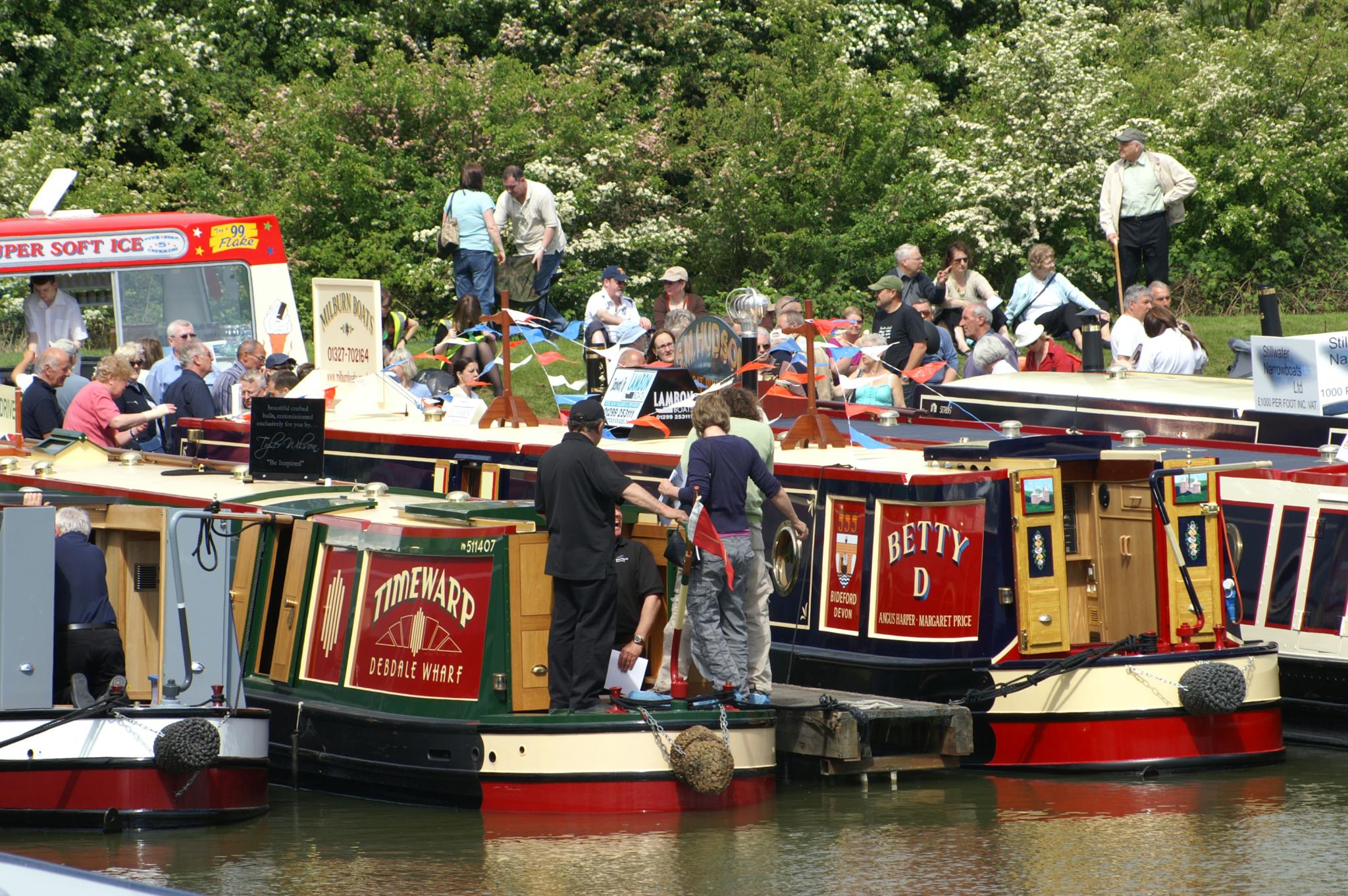
Crick Boat Show
The Crick Boat Show & Waterways Festival is an event that has been held annually at Crick Marina in Northamptonshire, England, since its inception in 2000...

Crick, Northamptonshire
Crick is a village in West Northamptonshire in England. It is close to the border with Warwickshire, six miles (ten kilometres) east of Rugby and 14 miles...
Yelvertoft
Yelvertoft is a village and civil parish in West Northamptonshire unitary authority in the county of Northamptonshire, England. At the time of the 2001...

Daventry International Rail Freight Terminal
Daventry International Rail Freight Terminal (DIRFT) is a rail-road intermodal freight terminal with an associated warehousing estate in Northamptonshire...

Kilsby and Crick railway station
Kilsby and Crick was a railway station on the Northampton Loop Line serving the villages of Kilsby and Crick in Northamptonshire. It was located to the...

Winwick, Northamptonshire
Winwick is a small village, a lost settlement and civil parish in West Northamptonshire in England. The modern settlement is north of West Haddon. A 16th...

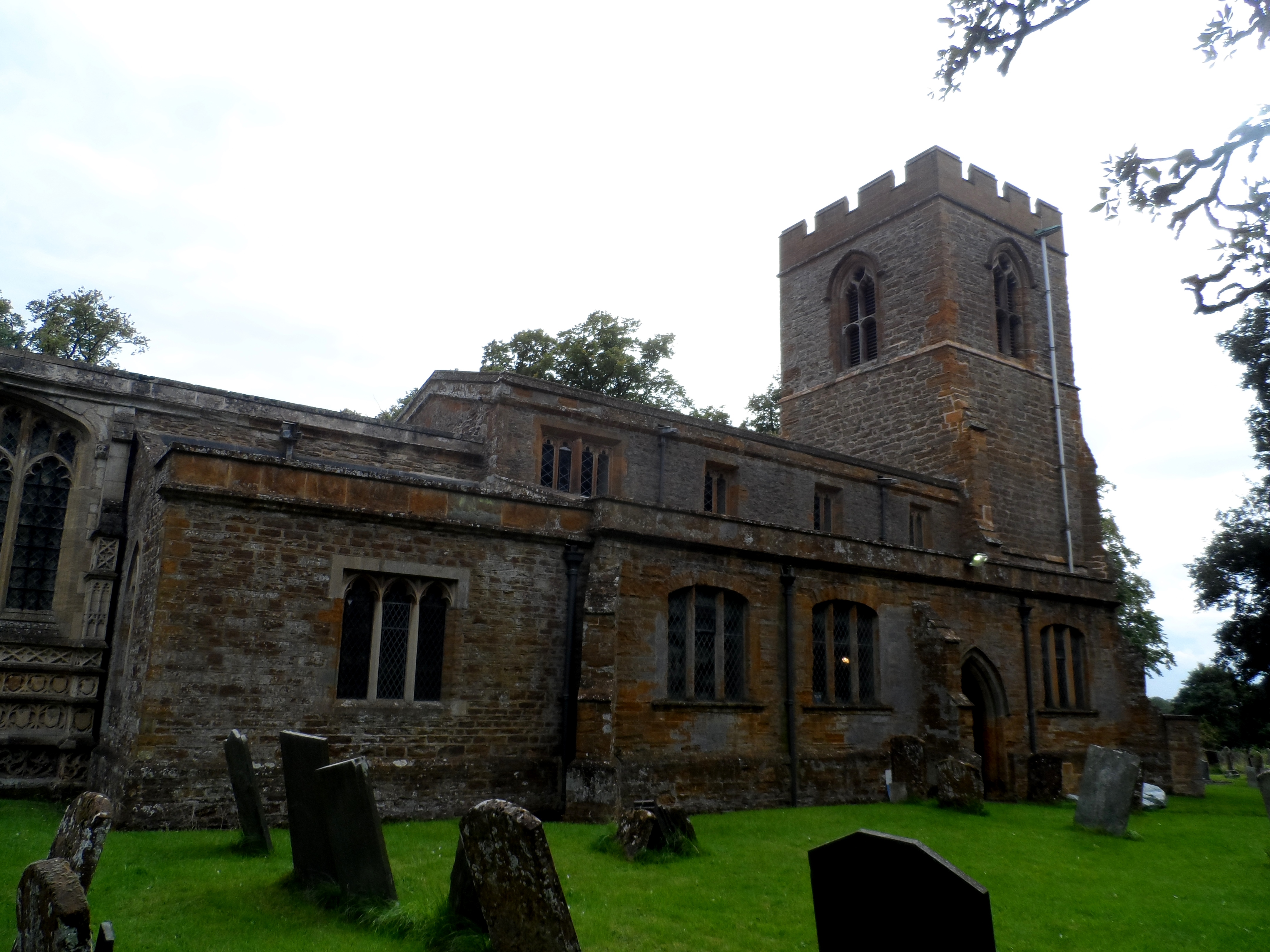
St Michael & All Angels' Church, Winwick
St Michael & All Angels' Church is an Anglican Church and the parish church of Winwick, Northamptonshire. It is a Grade II* listed building. There was...

Kilsby Tunnel
The Kilsby Tunnel is a railway tunnel on the West Coast Main Line in England, near the village of Kilsby in Northamptonshire, roughly 5 miles (8 km) southeast...
Nearby Amenities
Located within 500m of 52.353832,-1.1288706Have you been to Crick Jubilee Wood?
Leave your review of Crick Jubilee Wood below (or comments, questions and feedback).