Coach Road Copse
Wood, Forest in Hampshire Winchester
England
Coach Road Copse
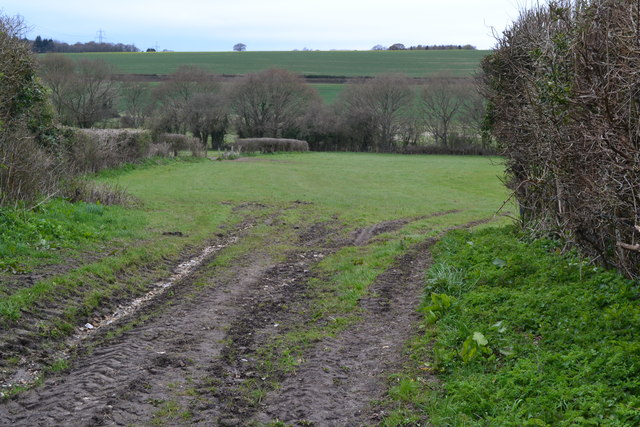
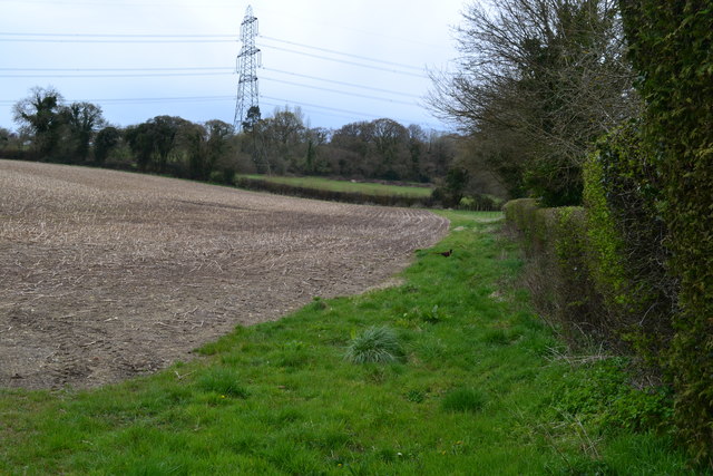
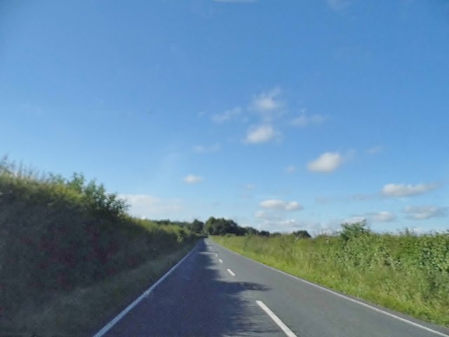
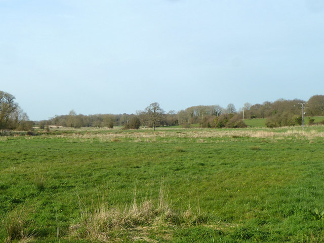
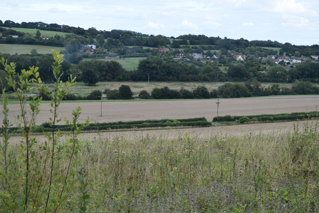
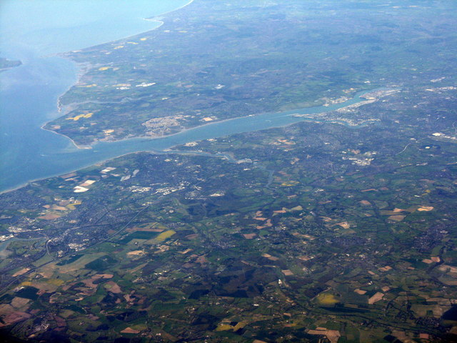
Coach Road Copse is a charming woodland located in Hampshire, England. Covering an area of approximately 20 acres, it is situated near the village of Liss and is easily accessible by road. The copse is part of the larger woodland area known as the South Downs National Park, which is renowned for its natural beauty and diverse wildlife.
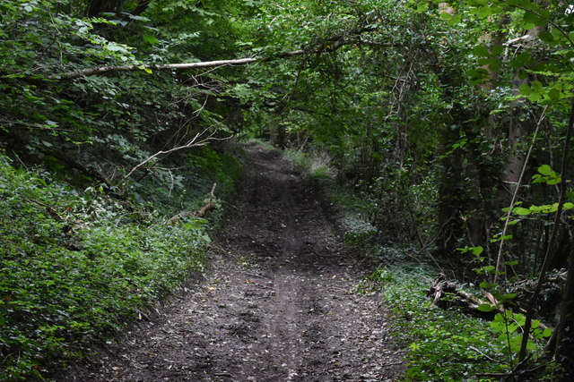
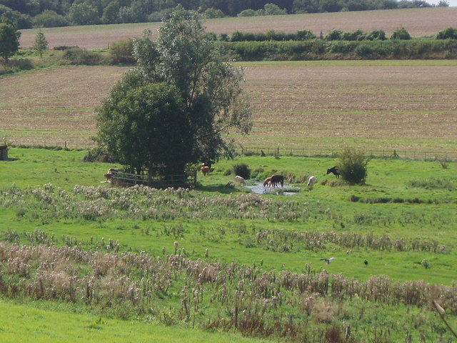
The copse is predominantly composed of deciduous trees such as oak, beech, and ash, which provide a stunning spectacle of colors during the autumn months. These trees also offer a canopy of shade during the summer, making it an ideal spot for picnics and leisurely walks. The forest floor is covered in a rich carpet of ferns, bluebells, and wildflowers, creating a picturesque setting for nature enthusiasts and photographers.
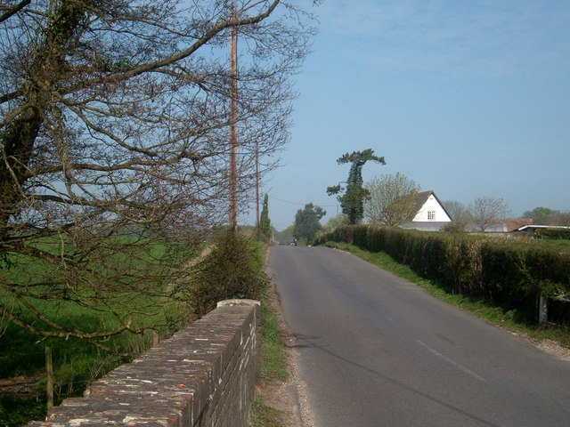
The copse is intersected by a network of well-maintained footpaths, allowing visitors to explore its various trails at their own pace. These paths lead to picturesque viewpoints, offering panoramic vistas of the surrounding countryside. Wildlife is abundant in Coach Road Copse, with sightings of deer, rabbits, and a variety of bird species being common. Visitors may also come across the occasional badger sett or fox den, adding to the area's natural charm.
The copse is a popular destination for families, dog walkers, and outdoor enthusiasts, who are drawn to its tranquil atmosphere and natural beauty. It is also a favorite spot for birdwatchers, as it attracts a wide variety of avian species throughout the year.
Overall, Coach Road Copse is a hidden gem in Hampshire, offering visitors a chance to reconnect with nature and enjoy the peacefulness of a woodland setting.
If you have any feedback on the listing, please let us know in the comments section below.
Coach Road Copse Images
Images are sourced within 2km of 50.933314/-1.1583579 or Grid Reference SU5915. Thanks to Geograph Open Source API. All images are credited.


Coach Road Copse is located at Grid Ref: SU5915 (Lat: 50.933314, Lng: -1.1583579)
Administrative County: Hampshire
District: Winchester
Police Authority: Hampshire
What 3 Words
///serve.dampen.boast. Near Swanmore, Hampshire
Nearby Locations
Related Wikis
Mislingford
Mislingford is a small area around the River Meon between the village of Swanmore and the small hamlet of Kingsmead on the A32 road in the City of Winchester...

Wood End, Hampshire
Wood End is a hamlet in the civil parish of Soberton in the City of Winchester district of Hampshire, England. Its nearest town is Fareham, which lies...
Swanmore
Swanmore is a rural village and civil parish situated in the Meon Valley, Hampshire, England. It is very near to Bishop's Waltham. Swanmore was originally...
St Clair's Meadow
St Clair's Meadow is a 16-hectare (40-acre) nature reserve near Soberton in Hampshire. It is managed by the Hampshire and Isle of Wight Wildlife Trust...
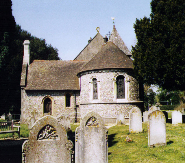
Church of Saint Barnabas, Swanmore
The Church of St Barnabas is the Church of England parish church of Swanmore near Southampton in Hampshire, England. It was constructed in 1844 and is...
Shirrell Heath
Shirrell Heath is a village and top of a modest escarpment of the South Downs National Park in south Hampshire, England. Shirrell Heath, and its neighbouring...
Swanmore College
Swanmore College is an 11–16 mixed secondary community school in Swanmore, Hampshire, England. The school has achieved Sports-mark, Investors in People...
Meon Valley Trail (cycle trail)
The Meon Valley Trail is a 16 kilometres (9.9 mi) trail for cyclists in Hampshire, England. The trail passes through Butser Hill, Clanfield, West Meon...
Nearby Amenities
Located within 500m of 50.933314,-1.1583579Have you been to Coach Road Copse?
Leave your review of Coach Road Copse below (or comments, questions and feedback).