Bennet's Wood
Wood, Forest in Berkshire
England
Bennet's Wood
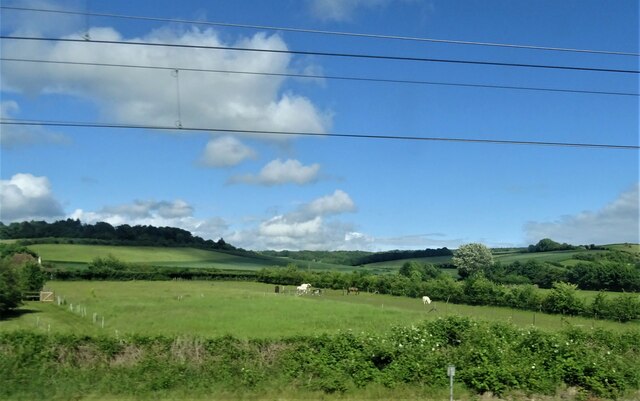
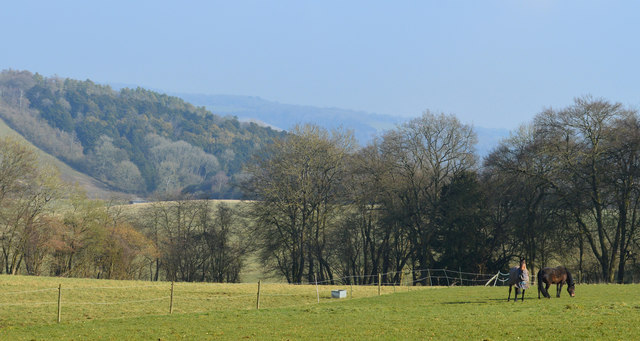
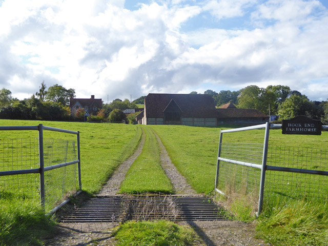
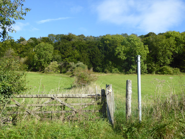
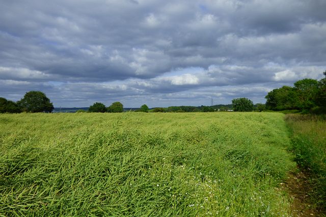
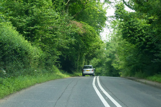
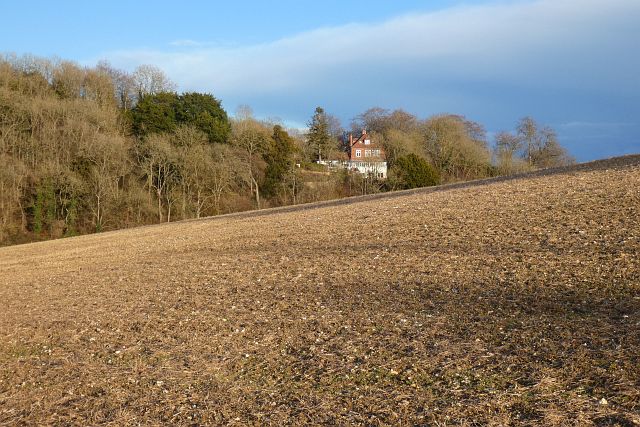
Bennet's Wood is a picturesque forest located in the county of Berkshire, England. It covers an area of approximately 100 acres and is known for its diverse array of flora and fauna. The woodland is named after the Bennet family, who were the original owners of the land.
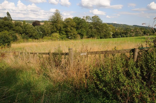
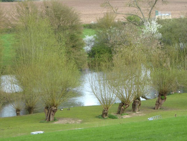
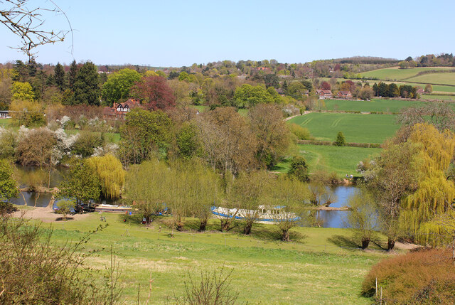
The wood is characterized by its dense canopy of mature trees, including oak, beech, and birch, which provide a rich habitat for a variety of wildlife. Visitors to Bennet's Wood can expect to see an abundance of bird species, such as woodpeckers, owls, and various songbirds. The forest floor is carpeted with vibrant wildflowers, including bluebells, primroses, and foxgloves, creating a stunning display of colors during the spring and summer months.
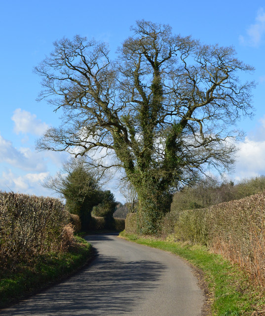
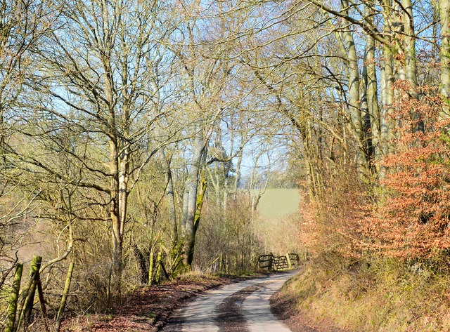
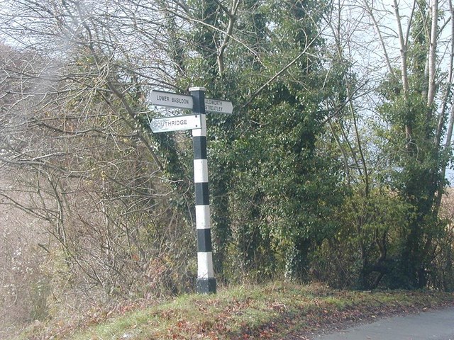
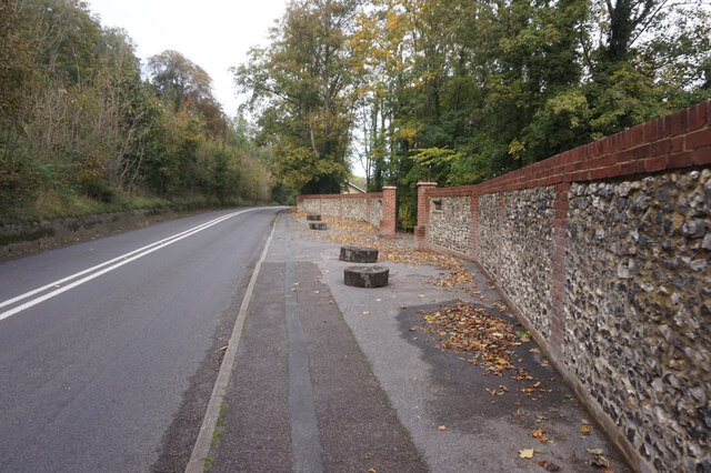
There are several well-maintained walking trails that wind their way through the wood, allowing visitors to explore its natural beauty at their own pace. The trails vary in length and difficulty, catering to both casual strollers and more experienced hikers. Along the way, benches and picnic areas provide opportunities for rest and relaxation, while also offering picturesque views of the surrounding countryside.
Bennet's Wood is a popular destination for nature lovers, photographers, and families looking to escape the hustle and bustle of city life. Its tranquil atmosphere and diverse ecosystem make it an ideal location for wildlife enthusiasts and those seeking to reconnect with nature. Whether exploring the wood's winding paths, observing the local wildlife, or simply enjoying a peaceful picnic, Bennet's Wood offers a serene retreat for all who visit.
If you have any feedback on the listing, please let us know in the comments section below.
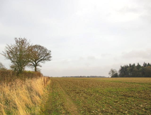
Bennet's Wood Images
Images are sourced within 2km of 51.505683/-1.1525988 or Grid Reference SU5878. Thanks to Geograph Open Source API. All images are credited.


Bennet's Wood is located at Grid Ref: SU5878 (Lat: 51.505683, Lng: -1.1525988)
Unitary Authority: West Berkshire
Police Authority: Thames Valley
What 3 Words
///neon.wiggling.nuzzling. Near Goring, Oxfordshire
Nearby Locations
Related Wikis

Holies Down
Holies Down is a 5.6-hectare (14-acre) biological Site of Special Scientific Interest south of Streatley in Berkshire. It is in the North Wessex Downs...
Basildon, Berkshire
Basildon is a civil parish in the English county of Berkshire. It comprises the small villages of Upper Basildon and Lower Basildon, named for their respective...

Genetic Studios
Genetic Studios (also known as Genetic Sound) was a recording studio in Streatley, England. == History == Genetic was established in 1980 by Martin Rushent...
Gatehampton Railway Bridge
Gatehampton Railway Bridge, otherwise referred to as Gatehampton Viaduct, is a railway bridge carrying the Great Western Main Line over the River Thames...

Lardon Chase, the Holies and Lough Down
Lardon Chase, the Holies and Lough Down is a National Trust countryside property in the English county of Berkshire. It is situated on the edge of the...
Lardon Chase
Lardon Chase is a 14.9-hectare (37-acre) biological Site of Special Scientific Interest in Streatley in Berkshire. It is in the North Wessex Downs, which...
Streatley, Berkshire
Streatley is a village and civil parish on the River Thames in Berkshire, England. The village faces Goring-on-Thames. The two places share in their shops...
Lower Basildon
Lower Basildon is a small English village in the civil parish of Basildon, near Pangbourne, in the county of Berkshire. == Amenities == === Shops and... ===
Nearby Amenities
Located within 500m of 51.505683,-1.1525988Have you been to Bennet's Wood?
Leave your review of Bennet's Wood below (or comments, questions and feedback).