Battarain Plantation
Wood, Forest in Nottinghamshire Bassetlaw
England
Battarain Plantation
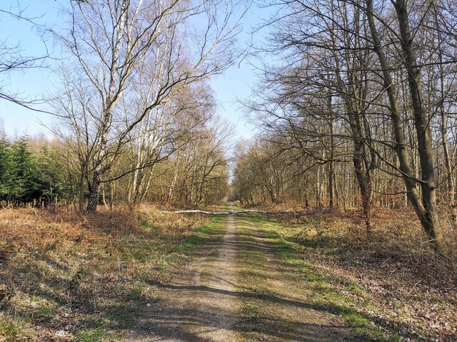
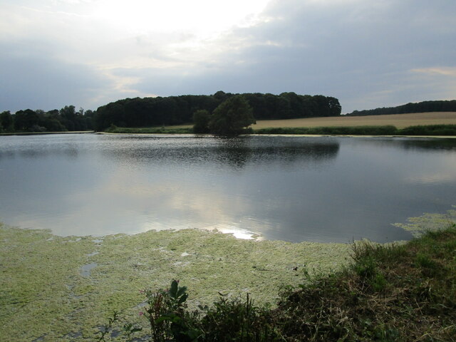
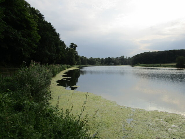
Battarain Plantation is a picturesque woodland area located in Nottinghamshire, England. Situated in the heart of the county, it is known for its lush greenery, abundant wildlife, and serene atmosphere. The plantation covers a vast area of approximately 100 acres, offering visitors a tranquil escape from the hustle and bustle of city life.
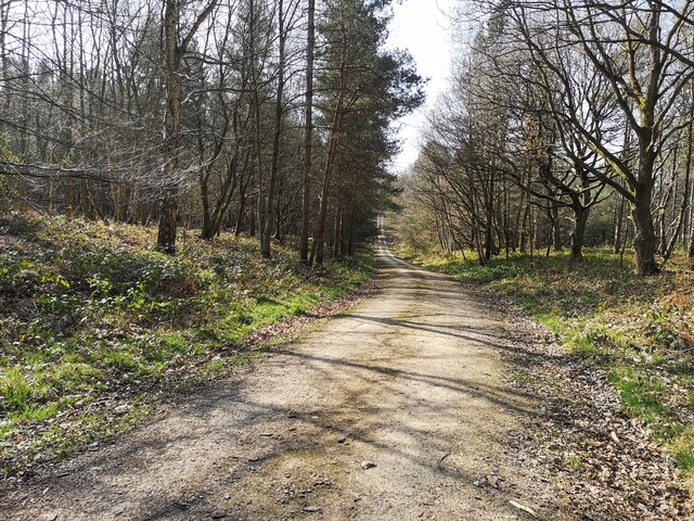
The woodland is predominantly composed of native tree species, such as oak, beech, and birch, which create a dense canopy overhead. This allows for a rich understory of wildflowers and shrubs, providing a diverse habitat for various animal species. Visitors to Battarain Plantation may be lucky enough to spot squirrels, foxes, and a wide array of birdlife, including woodpeckers and owls.
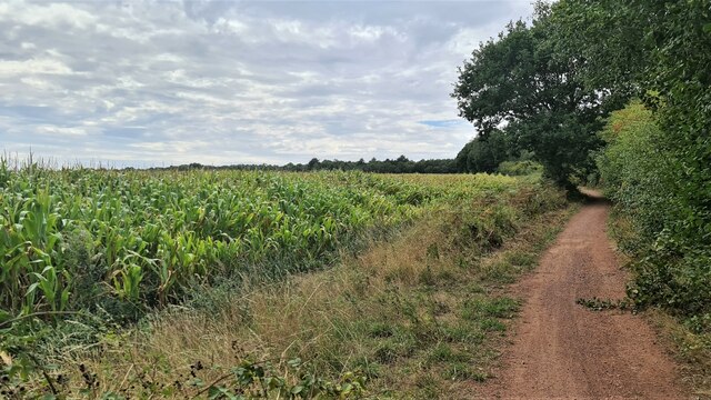
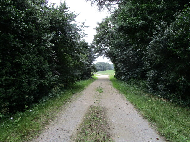
Walking trails wind their way through the plantation, offering visitors the opportunity to explore its beauty at their own pace. These well-maintained paths lead through enchanting groves and alongside babbling brooks, providing a truly immersive experience in nature. The plantation also boasts several picnic areas, where visitors can relax and enjoy the peaceful surroundings.
Battarain Plantation is a popular destination for nature enthusiasts, photographers, and families alike. Its natural beauty and tranquility make it an ideal spot for outdoor activities such as walking, birdwatching, and photography. The plantation is open to the public year-round, with no admission fees, allowing visitors to enjoy its wonders in all seasons.
Overall, Battarain Plantation in Nottinghamshire offers a scenic and serene escape into nature, providing a haven for wildlife and a peaceful retreat for visitors.
If you have any feedback on the listing, please let us know in the comments section below.
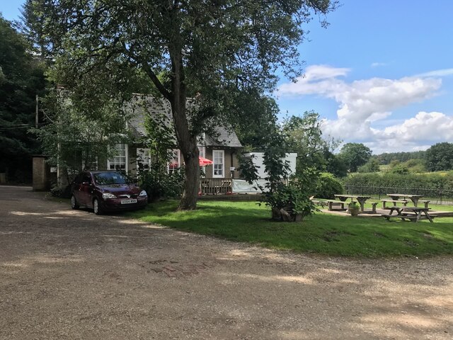
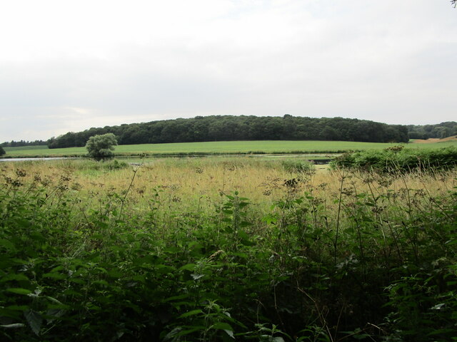
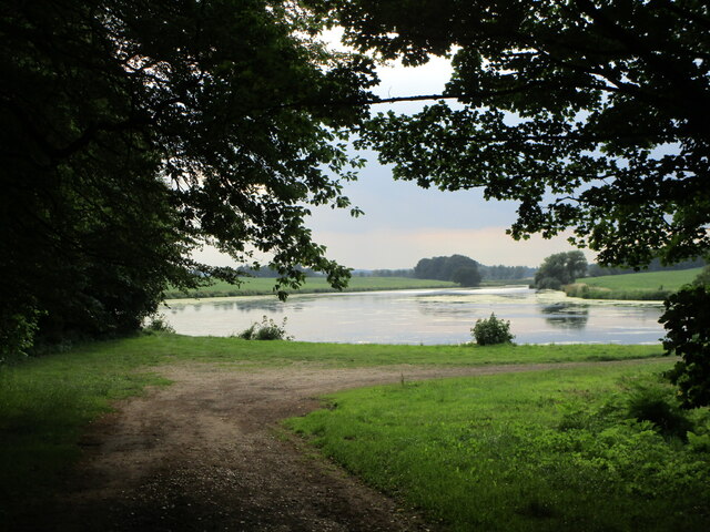
Battarain Plantation Images
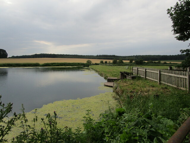
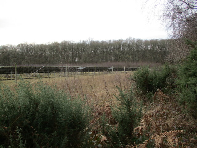
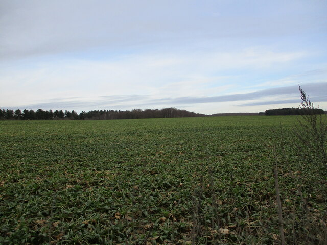
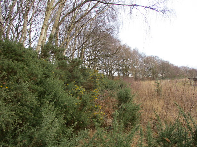
Images are sourced within 2km of 53.239823/-1.119832 or Grid Reference SK5871. Thanks to Geograph Open Source API. All images are credited.
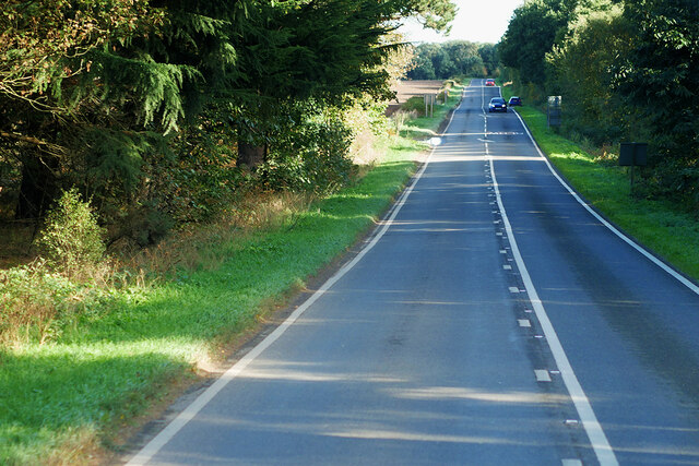


Battarain Plantation is located at Grid Ref: SK5871 (Lat: 53.239823, Lng: -1.119832)
Administrative County: Nottinghamshire
District: Bassetlaw
Police Authority: Nottinghamshire
What 3 Words
///bells.curls.clues. Near Warsop, Nottinghamshire
Nearby Locations
Related Wikis
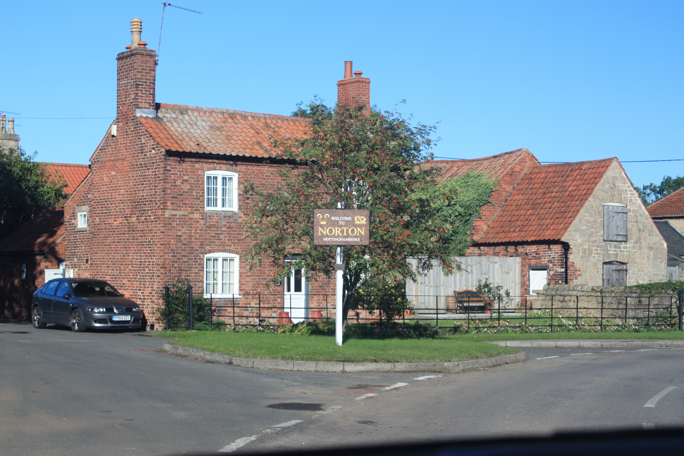
Norton, Nottinghamshire
Norton is a village and former civil parish, now in the parish of Norton, Cuckney, Holbeck and Welbeck, in the Bassetlaw district, in the county of Nottinghamshire...

Meden Vale
Meden Vale is a small former coal mining village originally known as Welbeck Colliery Village prior to renaming in the late 1960s.It is situated close...

Norton and Cuckney
Norton and Cuckney is a former civil parish, now in the parish of Norton, Cuckney, Holbeck and Welbeck, in the Bassetlaw district, within the county of...
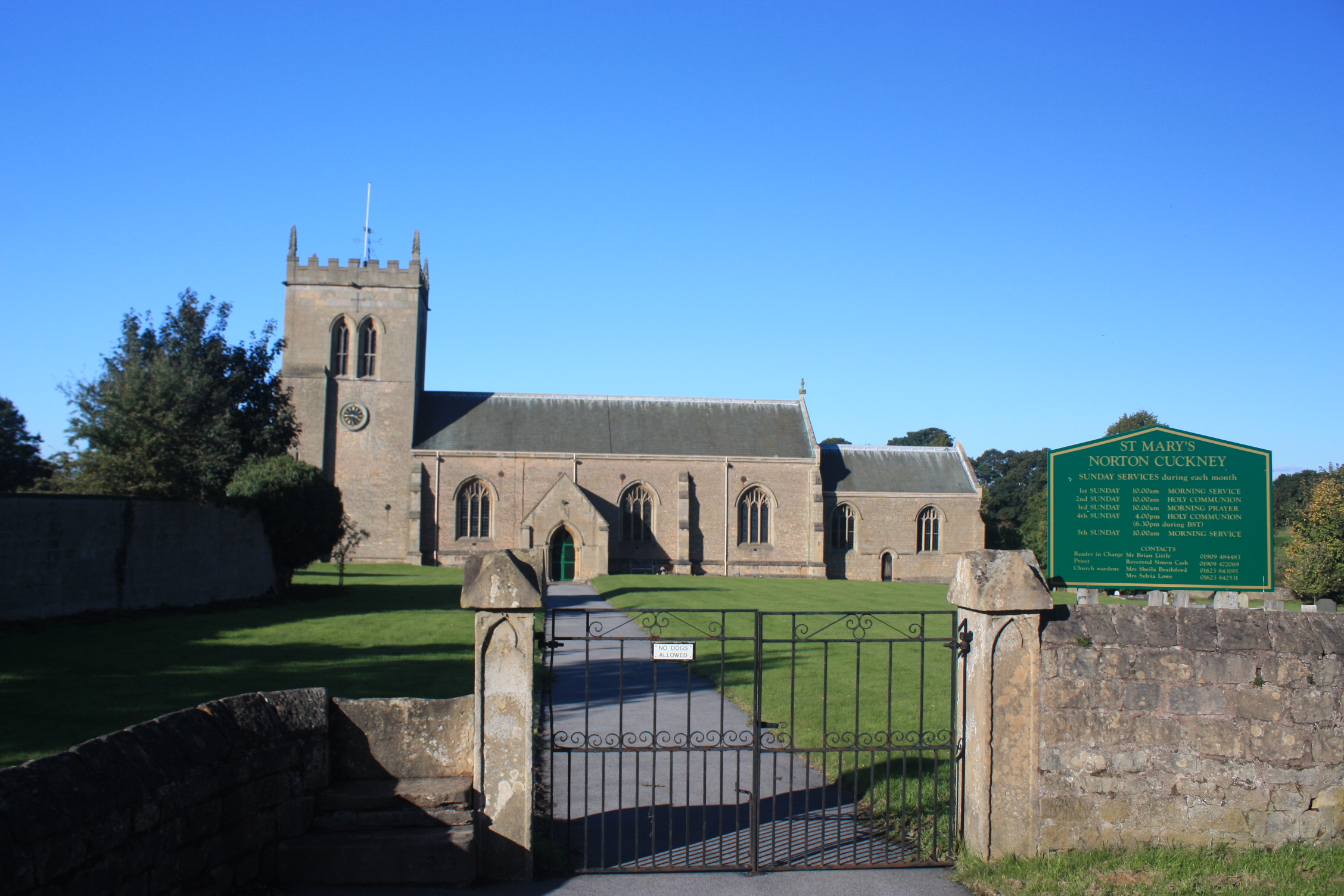
St Mary's Church, Norton Cuckney
St Mary's Church, Norton Cuckney is a Grade I listed parish church in the Church of England in Cuckney.At the edge of the churchyard are the remains of...

Cuckney Castle
Cuckney Castle was in the village of Cuckney, Nottinghamshire between Worksop and Market Warsop (grid reference SK566714). It was a motte and bailey fortress...
Cuckney
Cuckney is a village and former civil parish, now in the parish of Norton, Cuckney, Holbeck and Welbeck, in the Bassetlaw district of Nottinghamshire,...

Norton, Cuckney, Holbeck and Welbeck
Norton, Cuckney, Holbeck and Welbeck is a civil parish in the Bassetlaw district of Nottinghamshire, England. The Norton and Cuckney, and the Holbeck and...

St Giles Church, Carburton
St Giles Church is a redundant Anglican church in Carburton, Nottinghamshire. == History == The church is an unusual shape and dates back to the early...
Nearby Amenities
Located within 500m of 53.239823,-1.119832Have you been to Battarain Plantation?
Leave your review of Battarain Plantation below (or comments, questions and feedback).