Sansom Wood
Wood, Forest in Nottinghamshire Gedling
England
Sansom Wood
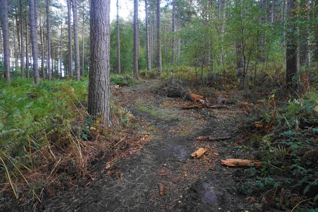
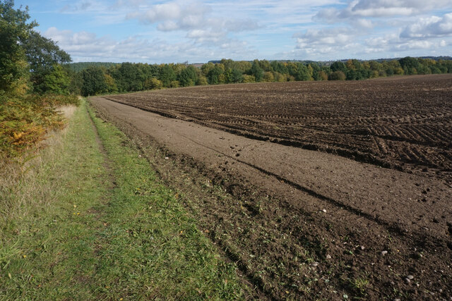
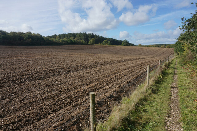
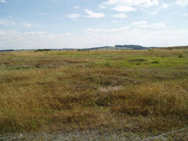
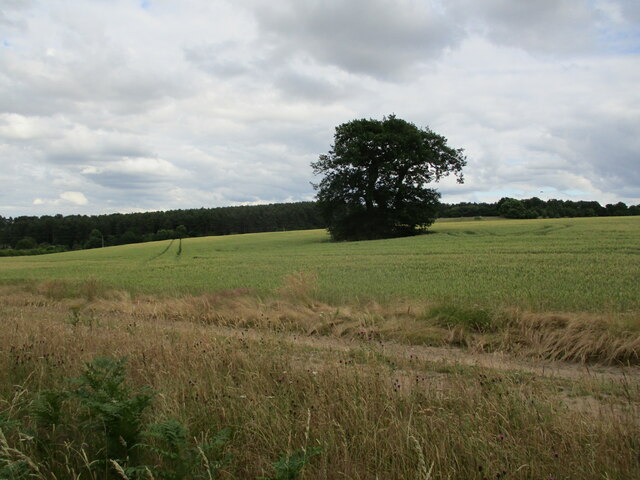
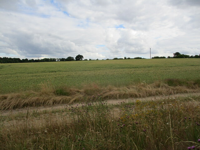
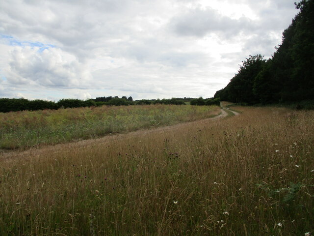
Sansom Wood is a picturesque forest located in the county of Nottinghamshire, in the East Midlands region of England. Covering an area of approximately 500 acres, the wood is renowned for its natural beauty and diverse wildlife.
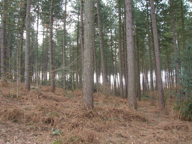
The wood is predominantly made up of broadleaf trees, including oak, ash, and beech, which create a dense canopy and provide a habitat for a wide range of flora and fauna. Visitors to Sansom Wood can expect to find an array of wildflowers, such as bluebells and primroses, which carpet the forest floor during springtime.
The wood is also home to various species of birds, including woodpeckers, owls, and songbirds, making it a popular destination for birdwatching enthusiasts. Additionally, there are several small mammals that inhabit the area, such as foxes, badgers, and squirrels, adding to the biodiversity of the wood.
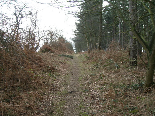
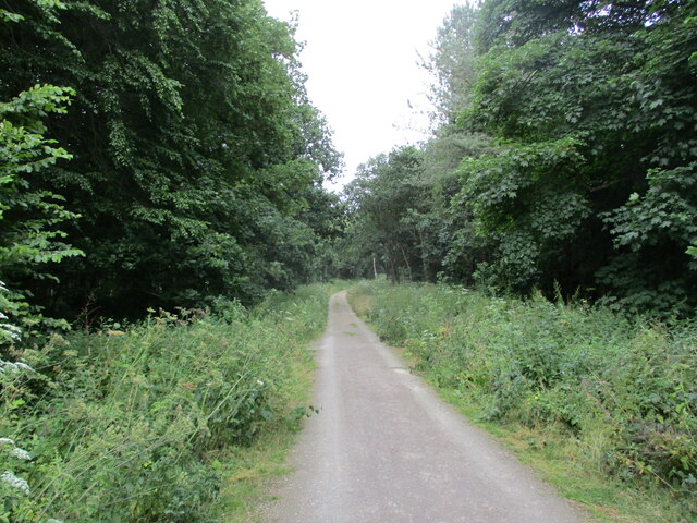
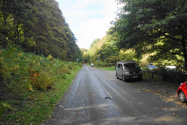
Sansom Wood offers a network of well-maintained footpaths and trails, allowing visitors to explore the forest at their own pace. These trails wind through the wood, offering stunning views of the surrounding countryside and providing opportunities for peaceful walks or energetic hikes.
The wood is managed by the local authorities, who ensure its preservation and protection. There are designated picnic areas and benches scattered throughout the forest, providing visitors with the chance to relax and enjoy the tranquil surroundings.
Overall, Sansom Wood is a treasured natural resource in Nottinghamshire, offering a peaceful escape from the hustle and bustle of everyday life. Its abundant wildlife, beautiful flora, and well-maintained trails make it an ideal destination for nature lovers and outdoor enthusiasts.
If you have any feedback on the listing, please let us know in the comments section below.
Sansom Wood Images
Images are sourced within 2km of 53.06125/-1.1245047 or Grid Reference SK5851. Thanks to Geograph Open Source API. All images are credited.


Sansom Wood is located at Grid Ref: SK5851 (Lat: 53.06125, Lng: -1.1245047)
Administrative County: Nottinghamshire
District: Gedling
Police Authority: Nottinghamshire
What 3 Words
///ears.grumbling.caves. Near Calverton, Nottinghamshire
Nearby Locations
Related Wikis

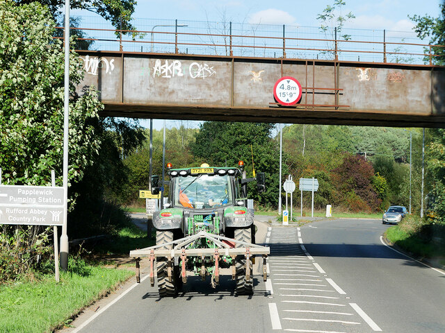
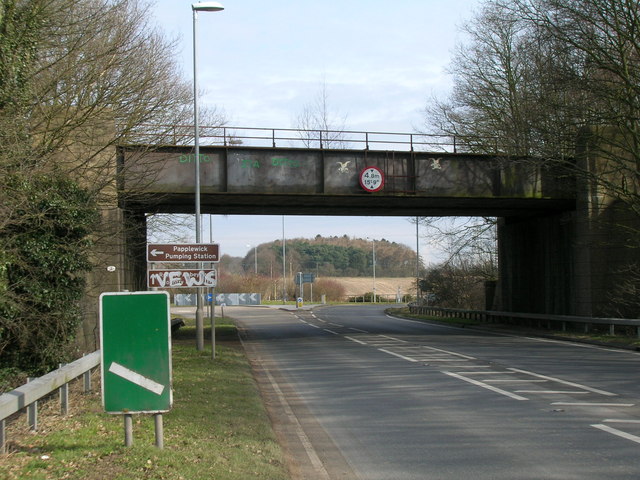
Papplewick Pumping Station
Papplewick Pumping Station, situated in open agricultural land approximately 3 miles (4.8 km) by road from the Nottinghamshire village of Papplewick, was...

Sherwood (UK Parliament constituency)
Sherwood is a constituency represented in the House of Commons of the UK Parliament since 2010 by Mark Spencer, a Conservative. The constituency takes...

Arnold Town F.C.
Arnold Town Football Club is a football club based in Arnold, Nottinghamshire, England. They are currently members of the Central Midlands League South...
Calverton Miners' Welfare F.C.
Calverton Miners' Welfare Football Club is an association football club in Calverton, near Nottingham, Nottinghamshire, England. They are currently members...

Blidworth Bottoms
Blidworth Bottoms is a hamlet in Nottinghamshire, England. It is located between Blidworth and Ravenshead. Population details are included in the civil...
Haywood Oaks
Haywood Oaks is a hamlet and former civil parish, 10 miles (16 km) from Nottingham, now in the parish of Blidworth, in the Newark and Sherwood district...
Colonel Frank Seely Academy
Colonel Frank Seely Academy (formerly Colonel Frank Seely School) is a coeducational secondary school and sixth form located in Calverton in the English...

Church of St Mary of the Purification, Blidworth
The Church of St Mary of the Purification is a parish church in the Church of England in Blidworth, Nottinghamshire, dating from the 15th century. It is...
Nearby Amenities
Located within 500m of 53.06125,-1.1245047Have you been to Sansom Wood?
Leave your review of Sansom Wood below (or comments, questions and feedback).