Sowerdale Wood
Wood, Forest in Yorkshire Hambleton
England
Sowerdale Wood
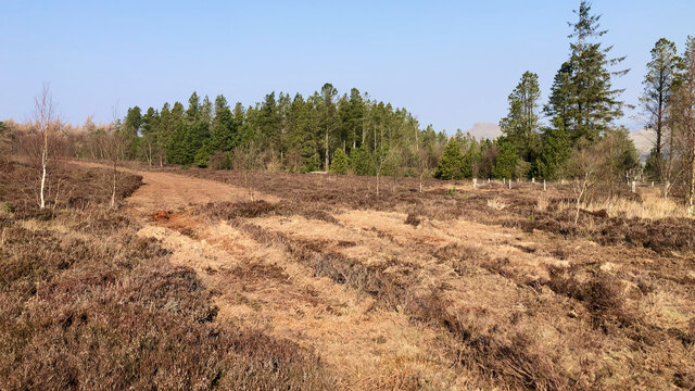
Sowerdale Wood is a picturesque woodland located in the county of Yorkshire, England. Covering an area of approximately 50 acres, it is nestled within the rolling hills and lush green landscapes that Yorkshire is renowned for. The wood is situated near the small village of Sowerdale, adding to its charm and accessibility.
The woodland is predominantly composed of native tree species such as oak, beech, and birch, creating a rich and diverse ecosystem. The dense canopy provides a haven for a variety of bird species, including woodpeckers, owls, and songbirds, making it a popular destination for birdwatchers and nature enthusiasts.
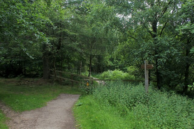
Walking through Sowerdale Wood, visitors are greeted by a network of well-maintained footpaths that wind their way through the trees, offering a peaceful and tranquil experience. The forest floor is carpeted with an array of wildflowers and ferns, adding bursts of color and texture to the landscape. In spring, bluebells blanket the forest floor, creating a stunning spectacle.
The wood also boasts a small stream that meanders through its heart, adding to the overall beauty and serenity of the surroundings. This stream provides a habitat for various aquatic creatures, including fish and insects, further enhancing the biodiversity of the area.
Sowerdale Wood is a popular destination for outdoor activities such as hiking, picnicking, and wildlife spotting. Its proximity to the village of Sowerdale ensures that visitors have easy access to amenities and services, making it an ideal place for a day trip or weekend getaway.
If you have any feedback on the listing, please let us know in the comments section below.
Sowerdale Wood Images
Images are sourced within 2km of 54.473173/-1.0966258 or Grid Reference NZ5809. Thanks to Geograph Open Source API. All images are credited.
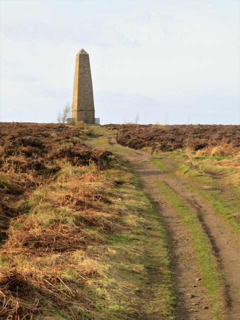
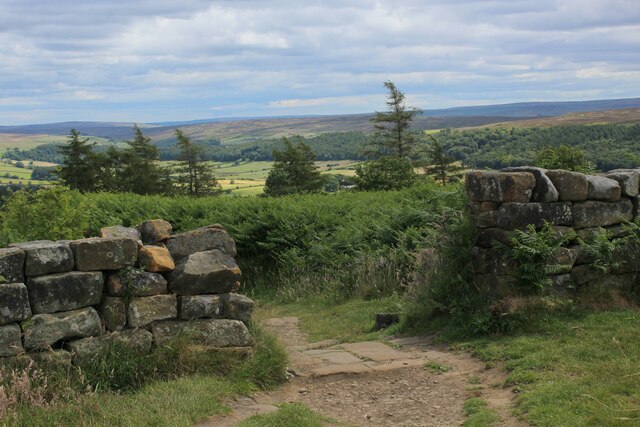
![Path down to the car park A heavily used path that is part of the Cleveland Way and is also the easiest way to the Captain Cook monument from the road. Much less litter [particularly doggy poo bags slung into trees] than on my last visit. No doubt some clearing up by public spirited people.](https://s2.geograph.org.uk/geophotos/07/08/58/7085818_3af55e8d.jpg)
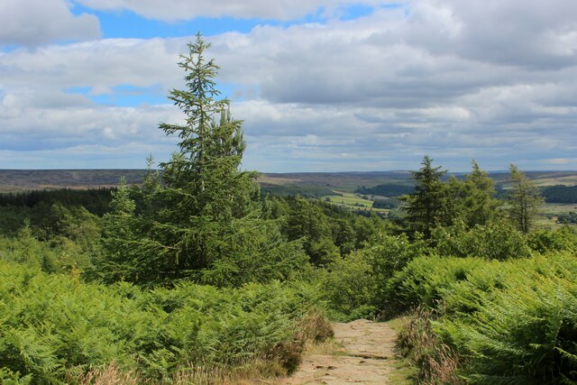
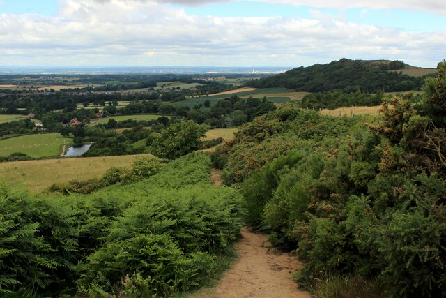


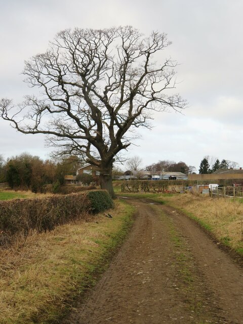
![Footpath towards Drummer Hill Farm The path [number 10.75/1] begins as a lane off the nearby road, but soon does a 90 degree turn to the left to approach Drummer Hill Farm.](https://s0.geograph.org.uk/geophotos/07/05/88/7058844_57e45f86.jpg)


Sowerdale Wood is located at Grid Ref: NZ5809 (Lat: 54.473173, Lng: -1.0966258)
Division: North Riding
Administrative County: North Yorkshire
District: Hambleton
Police Authority: North Yorkshire
What 3 Words
///creatures.koala.coverage. Near Ingleby Greenhow, North Yorkshire
Nearby Locations
Related Wikis
Easby, Hambleton
Easby is a village and civil parish in Hambleton District of North Yorkshire, England. It lies approximately 2 miles (3.2 km) south-east of Great Ayton...

Easby Moor
Easby Moor is a hill located in the civil parish of Little Ayton in the North York Moors national park within the Cleveland Hills, North Yorkshire, England...
Battersby railway station
Battersby is a railway station on the Esk Valley Line, which runs between Middlesbrough and Whitby via Nunthorpe. The station, situated 11 miles 4 chains...

Kildale railway station
Kildale is a railway station on the Esk Valley Line, which runs between Middlesbrough and Whitby via Nunthorpe. The station, situated 12 miles 65 chains...

Little Ayton
Little Ayton is a village and civil parish in Hambleton District of North Yorkshire, England and lies immediately south of Great Ayton. The population...

Great Ayton railway station
Great Ayton is a railway station on the Esk Valley Line, which runs between Middlesbrough and Whitby via Nunthorpe. The station, situated 8 miles 37 chains...

Ingleby railway station
Ingleby railway station was a railway station built to serve the village of Ingleby Greenhow in North Yorkshire, England. The station was on the North...

Battersby
Battersby is a hamlet in North Yorkshire, England. It lies on the edge of the North York Moors National Park and within the historic boundaries of the...
Nearby Amenities
Located within 500m of 54.473173,-1.0966258Have you been to Sowerdale Wood?
Leave your review of Sowerdale Wood below (or comments, questions and feedback).