Owlpit Copse

Wood, Forest in Berkshire

England

Owlpit Copse

The Garden House, Stanford Dingley, Berkshire Early C18. Red brick with moulded plat band. Moulded brick eaves cornice, old tile roof with end stacks and parapets, and 3 gabled dormers with casements. 2 storeys and attic; 3 bays, glazing bar sashes with exposed wooden boxes and gauged heads. Central glazed door with radial fanlight and doorcase with triangular pediment supported on plain brackets.

(Source:Historic England)
The Garden House, Stanford Dingley, Berkshire Credit: Oswald Bertram

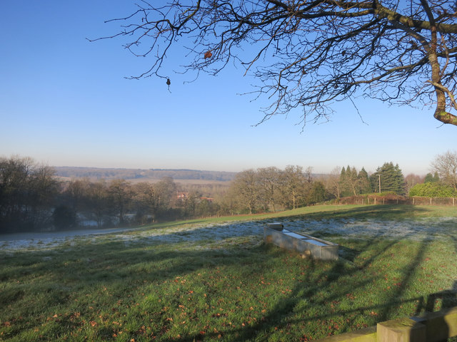
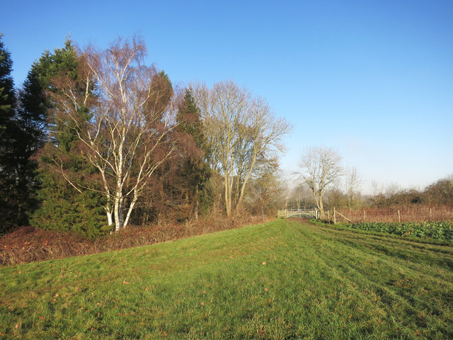
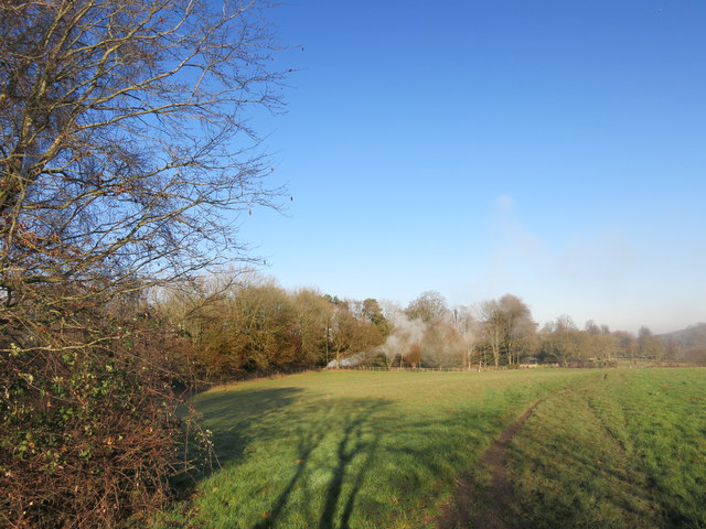
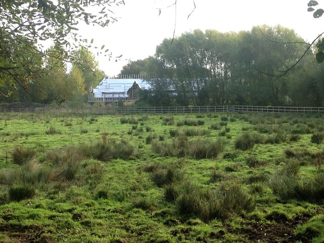
Owlpit Copse is a picturesque woodland located in the county of Berkshire, England. Covering an area of approximately 50 acres, it is nestled in the heart of the countryside, providing a peaceful and serene environment for nature enthusiasts and visitors alike.

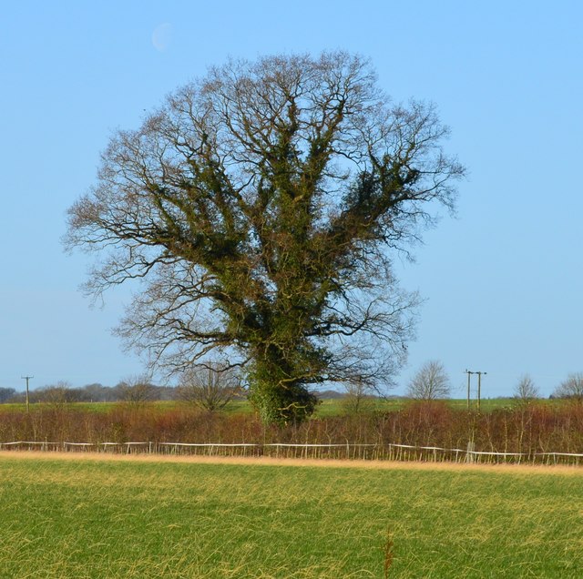
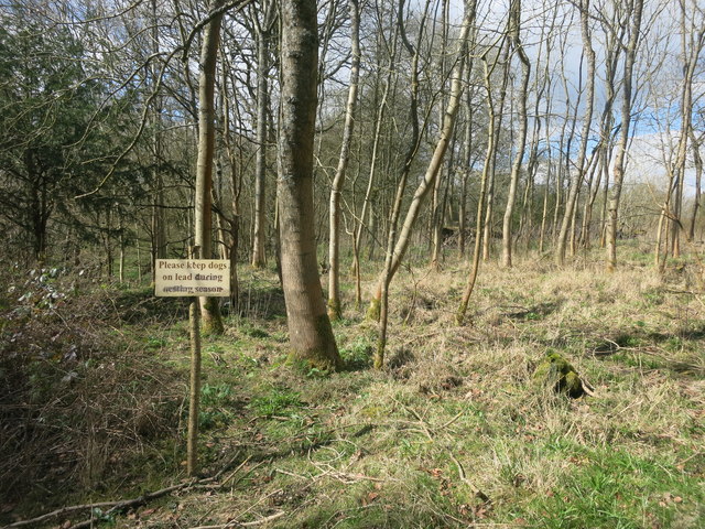
The copse is primarily composed of native deciduous trees such as oak, beech, and birch, creating a stunning display of vibrant colors during the autumn season. These trees form a dense canopy, filtering the sunlight and casting dappled shadows on the forest floor below. The undergrowth is rich and diverse, with ferns, bluebells, and wildflowers adding to the beauty of the landscape.

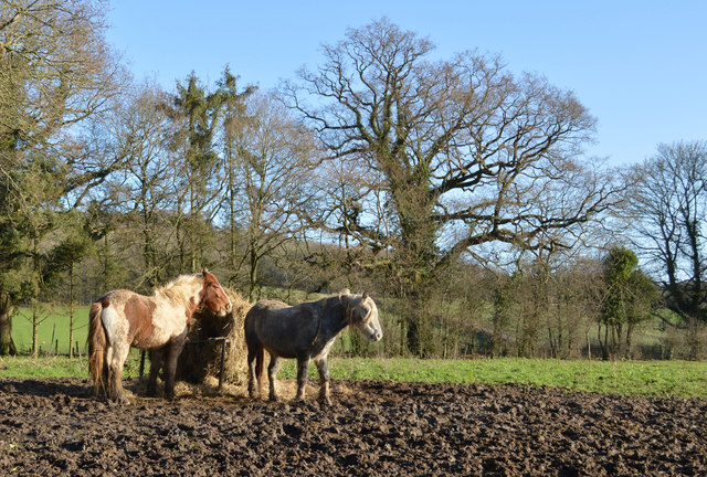
The woodland is home to a variety of wildlife species, making it a haven for nature lovers. Bird enthusiasts can spot a range of species including woodpeckers, owls, and thrushes, while small mammals like squirrels and rabbits can be seen scurrying among the trees. In the spring, the copse comes alive with the sound of birdsong as they nest and raise their young.

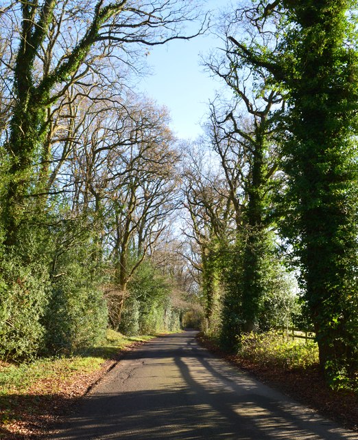
Tranquil walking paths wind their way through the copse, allowing visitors to explore and appreciate the natural beauty on offer. These paths are well-maintained and suitable for all ages and abilities, offering a chance to escape the hustle and bustle of everyday life and immerse oneself in the tranquility of nature.

Owlpit Copse is a popular destination for nature walks, picnics, and photography. Its idyllic setting and diverse ecosystem provide an enchanting experience for visitors seeking solace in the great outdoors. Whether one is a seasoned naturalist or simply looking for a peaceful retreat, Owlpit Copse offers a slice of unspoiled natural beauty in the heart of Berkshire.

If you have any feedback on the listing, please let us know in the comments section below.

Owlpit Copse Images

Images are sourced within 2km of 51.453112/-1.1580912 or Grid Reference SU5873. Thanks to Geograph Open Source API. All images are credited.

The Garden House, Stanford Dingley, Berkshire Early C18. Red brick with moulded plat band. Moulded brick eaves cornice, old tile roof with end stacks and parapets, and 3 gabled dormers with casements. 2 storeys and attic; 3 bays, glazing bar sashes with exposed wooden boxes and gauged heads. Central glazed door with radial fanlight and doorcase with triangular pediment supported on plain brackets.

(Source:Historic England)
The Garden House, Stanford Dingley, Berkshire
Early C18. Red brick with moulded plat band. Moulded brick eaves cornice, old tile roof with end stacks and parapets, and 3 gabled dormers with casements. 2 storeys and attic; 3 bays, glazing bar sashes with exposed wooden boxes and gauged heads. Central glazed door with radial fanlight and doorcase with triangular pediment supported on plain brackets. (Source:Historic England)
The Spring, Standford Dingley, Berkshire Late C16 with C20 additions. Timber framed with angled braces, brick ground floor, first floor plaster panels, and tile hung gable end to left. Old tile roof with catslide to rear, part to right with slightly lower eaves; central ridge stack, and ridge stack off-centre to right. 3 framed bays to left. 2 storeys. 3 first floor 2-light C20 leaded casements, 4 ground floor C20 leaded casements, canted bay second from left with hipped tile roof. 

(Source:Historic England)
The Spring, Standford Dingley, Berkshire
Late C16 with C20 additions. Timber framed with angled braces, brick ground floor, first floor plaster panels, and tile hung gable end to left. Old tile roof with catslide to rear, part to right with slightly lower eaves; central ridge stack, and ridge stack off-centre to right. 3 framed bays to left. 2 storeys. 3 first floor 2-light C20 leaded casements, 4 ground floor C20 leaded casements, canted bay second from left with hipped tile roof. (Source:Historic England)
Farmland, Stanford Dingley, Berkshire
Country lane, Tutts Clump, Berkshire
Field boundary, Bradfield, Berkshire
Footbridge over the M4 The M4 is 190 miles long and runs from London to South Wales. Major centres close to the motorway include Reading, Swindon, Bristol, Newport, Cardiff and Swansea. The motorway was constructed between 1961 and 1996. The M4 originally crossed the first Severn Road Bridge. It has now been diverted to use the Second Severn Crossing and the motorway over the older bridge has been renumbered as M48.
Wikipedia: <span class="nowrap"><a title="http://en.wikipedia.org/wiki/M4_motorway" rel="nofollow ugc noopener" href="http://en.wikipedia.org/wiki/M4_motorway">Link</a><img style="margin-left:2px;" alt="External link" title="External link - shift click to open in new window" src="https://s1.geograph.org.uk/img/external.png" width="10" height="10"/></span>
Footbridge over the M4
The M4 is 190 miles long and runs from London to South Wales. Major centres close to the motorway include Reading, Swindon, Bristol, Newport, Cardiff and Swansea. The motorway was constructed between 1961 and 1996. The M4 originally crossed the first Severn Road Bridge. It has now been diverted to use the Second Severn Crossing and the motorway over the older bridge has been renumbered as M48. Wikipedia: LinkExternal link
Scratchface Lane Bridge, M4 The M4 is 190 miles long and runs from London to South Wales. Major centres close to the motorway include Reading, Swindon, Bristol, Newport, Cardiff and Swansea. The motorway was constructed between 1961 and 1996. The M4 originally crossed the first Severn Road Bridge. It has now been diverted to use the Second Severn Crossing and the motorway over the older bridge has been renumbered as M48.
Wikipedia: <span class="nowrap"><a title="http://en.wikipedia.org/wiki/M4_motorway" rel="nofollow ugc noopener" href="http://en.wikipedia.org/wiki/M4_motorway">Link</a><img style="margin-left:2px;" alt="External link" title="External link - shift click to open in new window" src="https://s1.geograph.org.uk/img/external.png" width="10" height="10"/></span>
Scratchface Lane Bridge, M4
The M4 is 190 miles long and runs from London to South Wales. Major centres close to the motorway include Reading, Swindon, Bristol, Newport, Cardiff and Swansea. The motorway was constructed between 1961 and 1996. The M4 originally crossed the first Severn Road Bridge. It has now been diverted to use the Second Severn Crossing and the motorway over the older bridge has been renumbered as M48. Wikipedia: LinkExternal link
Bag in the Woods Public footpath through mixed woodland known as The Gravels.
I don't know what the bag is about.
It once contained Bartholomew's Bird Seed, so I guess someone's been in here fattening up the pheasants.
Bag in the Woods
Public footpath through mixed woodland known as The Gravels. I don't know what the bag is about. It once contained Bartholomew's Bird Seed, so I guess someone's been in here fattening up the pheasants.
Lane near the Motorway Motorway contractors don't do country lanes. Like many small roads that were in the path of motorway construction, this bit of lane has all the signs of being rebuilt to a much better standard than the unaltered bits at each end, which are still as winding and pot holed as ever.
Lane near the Motorway
Motorway contractors don't do country lanes. Like many small roads that were in the path of motorway construction, this bit of lane has all the signs of being rebuilt to a much better standard than the unaltered bits at each end, which are still as winding and pot holed as ever.
Kiln Pond, Burnt Hill One of the many old clay pits which can be found around here.
Kiln Pond, Burnt Hill
One of the many old clay pits which can be found around here.
Footpath off Scratchface Lane
Scratchface Lane The name suggests it wasn't always as neat as this along here.
Scratchface Lane
The name suggests it wasn't always as neat as this along here.
Miram's Copse This square is about 75% woodland.
Miram's Copse
This square is about 75% woodland.
The Pang Valley near Bradfield The River Pang is the only tributary catchment of any size to join the Thames between Abingdon and Reading.
The Pang Valley near Bradfield
The River Pang is the only tributary catchment of any size to join the Thames between Abingdon and Reading.
Paths meet at the gate A convergence of footpaths by Fisher's Copse.
Paths meet at the gate
A convergence of footpaths by Fisher's Copse.
Bonfire in the wood Something on fire near some stables.
Bonfire in the wood
Something on fire near some stables.
Barn conversion, Kimberhead Farm Looking east from the footpath across rush pasture in the Pang valley.
Barn conversion, Kimberhead Farm
Looking east from the footpath across rush pasture in the Pang valley.
Show me another place!

Owlpit Copse is located at Grid Ref: SU5873 (Lat: 51.453112, Lng: -1.1580912)

Unitary Authority: West Berkshire

Police Authority: Thames Valley

What 3 Words

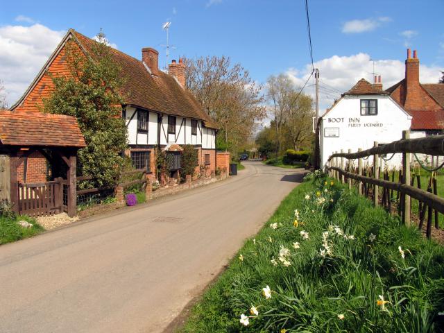
///clay.commoners.bends. Near Bradfield, Berkshire

Related Wikis

Bradfield Rural District

Bradfield was a rural district in Berkshire, England, from 1894 to 1974.It was created under the Local Government Act 1894 from the Bradfield rural sanitary...

Stanford Dingley

Stanford Dingley is a small village and civil parish in West Berkshire, England, between Newbury and Theale. == Geography == Stanford Dingley fills part...

Tutts Clump

Tutts Clump is a small hamlet in the civil parish of Bradfield in the English county of Berkshire. It is 8 mi (13 km) from the centre of Reading. It lies...

Bradfield, Berkshire

Bradfield is a village and civil parish in Berkshire, England. Aside from farms and a smaller amount of woodland its main settlements are Bradfield Southend...

Bradfield College

Bradfield College, formally St Andrew's College, Bradfield, is a public school (English fee-charging boarding and day school) for pupils aged 13–18, located...

Ashampstead Common

Ashampstead Common is a common in the English county of Berkshire, within the civil parish of Ashampstead. The common lies north of the M4 motorway, near...

Burnt Hill, Berkshire

Burnt Hill is a hamlet in Berkshire, England. It is just north of the M4 motorway in West Berkshire, in the civil parish of Yattendon, which is also the...

St Andrew's School, Pangbourne

St Andrew's School is an independent preparatory school in the hamlet of Buckhold, near Pangbourne, Berkshire, England. Together with its 'Pre-Prep – Early...

Nearby Amenities

Located within 500m of 51.453112,-1.1580912
Barrier: stile
Lat/Long: 51.450429/-1.154337
The data included in this document is from www.openstreetmap.org. The data is made available under ODbL.

Have you been to Owlpit Copse?

Leave your review of Owlpit Copse below (or comments, questions and feedback).