Shorley Copse

Wood, Forest in Hampshire Winchester

England

Shorley Copse

A272 Petersfield Road heading west Towards Winchester.
A272 Petersfield Road heading west Credit: Robin Webster

Shorley Copse is a picturesque woodland located in Hampshire, England. Covering an area of approximately 20 hectares, it is known for its diverse range of flora and fauna, making it a popular destination among nature enthusiasts.

The copse is primarily composed of deciduous trees, including oak, beech, and birch, which create a dense canopy, providing shelter for a variety of wildlife. The forest floor is adorned with a carpet of bluebells and wild garlic during the spring months, creating a stunning display of colors and scents.

The copse is crisscrossed by several well-maintained footpaths, allowing visitors to explore its beauty at their own pace. These paths offer breathtaking views of the surrounding countryside, and on a clear day, it is possible to catch glimpses of the nearby South Downs National Park.

Birdwatchers will be delighted by the copse's avian residents, which include woodpeckers, nuthatches, and tawny owls. Small mammals such as deer, foxes, and badgers can also be spotted in the early morning or late evening hours. The copse is also home to a variety of butterflies and insects, adding to its rich biodiversity.

Shorley Copse is easily accessible and offers ample parking facilities nearby. It is a designated Site of Special Scientific Interest (SSSI) due to its ecological importance, and therefore, visitors are encouraged to respect and preserve its natural habitat. Whether you are an avid hiker, a nature lover, or simply seeking tranquility amidst nature, Shorley Copse is a must-visit destination for a peaceful and immersive experience in the heart of Hampshire.

If you have any feedback on the listing, please let us know in the comments section below.

Shorley Copse Images

Images are sourced within 2km of 51.039632/-1.1722231 or Grid Reference SU5827. Thanks to Geograph Open Source API. All images are credited.

A272 Petersfield Road heading west Towards Winchester.
A272 Petersfield Road heading west
Towards Winchester.
Gardens, Hinton Ampner Cannas planted in a hexagonal bed in the Yew Garden at the National Trust owned Hinton Ampner.
Gardens, Hinton Ampner
Cannas planted in a hexagonal bed in the Yew Garden at the National Trust owned Hinton Ampner.
Gardens, Hinton Ampner Agapanthus planted by the steps out of the Yew Garden at the National Trust owned Hinton Ampner.
Gardens, Hinton Ampner
Agapanthus planted by the steps out of the Yew Garden at the National Trust owned Hinton Ampner.
Hinton Ampner The south front of the house at Agapanthus at the National Trust owned Hinton Ampner, seen above a border below the main terrace.
Hinton Ampner
The south front of the house at Agapanthus at the National Trust owned Hinton Ampner, seen above a border below the main terrace.
Hinton Ampner The south front of the house at Agapanthus at the National Trust owned Hinton Ampner, seen across the Sunken Garden.
Hinton Ampner
The south front of the house at Agapanthus at the National Trust owned Hinton Ampner, seen across the Sunken Garden.
Hinton Ampner The south front of the house at Agapanthus at the National Trust owned Hinton Ampner, seen across the Sunken Garden.
Hinton Ampner
The south front of the house at Agapanthus at the National Trust owned Hinton Ampner, seen across the Sunken Garden.
Hinton Ampner The south front of the house at Agapanthus at the National Trust owned Hinton Ampner, seen above a border along the lawn below the Main Terrace.
Hinton Ampner
The south front of the house at Agapanthus at the National Trust owned Hinton Ampner, seen above a border along the lawn below the Main Terrace.
Hinton Ampner The gable of a building at the western end of the house at the National Trust owned Hinton Ampner, seen above a border along the lawn below the Main Terrace.
Hinton Ampner
The gable of a building at the western end of the house at the National Trust owned Hinton Ampner, seen above a border along the lawn below the Main Terrace.
All Saints' Church, Hinton Ampner Church with Saxon origins, largely rebuilt in the 13th Century and restored in the 19th Century.  Grade II* listed - see <span class="nowrap"><a title="www.historicengland.org.uk/listing/the-list/list-entry/1155865" rel="nofollow ugc noopener" href="http://www.historicengland.org.uk/listing/the-list/list-entry/1155865">Link</a><img style="margin-left:2px;" alt="External link" title="External link - shift click to open in new window" src="https://s1.geograph.org.uk/img/external.png" width="10" height="10"/></span>.
All Saints' Church, Hinton Ampner
Church with Saxon origins, largely rebuilt in the 13th Century and restored in the 19th Century. Grade II* listed - see LinkExternal link.
House View The view of the front of the house at the National Trust owned Hinton Ampner.
House View
The view of the front of the house at the National Trust owned Hinton Ampner.
House Front The front of the house at the National Trust owned Hinton Ampner.
House Front
The front of the house at the National Trust owned Hinton Ampner.
The Autumn Border The Autumn Border alongside the main drive into the National Trust owned Hinton Ampner.
The Autumn Border
The Autumn Border alongside the main drive into the National Trust owned Hinton Ampner.
The Walled Garden Greenhouses in the Walled Garden at the National Trust owned Hinton Ampner.
The Walled Garden
Greenhouses in the Walled Garden at the National Trust owned Hinton Ampner.
Hinton Ampner Garden The view of the garden at the National Trust owned Hinton Ampner.
Hinton Ampner Garden
The view of the garden at the National Trust owned Hinton Ampner.
House Scene The view from Hinton Ampner house.
House Scene
The view from Hinton Ampner house.
Inside Hinton Ampner The view inside at the National Trust owned Hinton Ampner.
Inside Hinton Ampner
The view inside at the National Trust owned Hinton Ampner.
Hinton Ampner Dining The view inside the house at the National Trust owned Hinton Ampner.
Hinton Ampner Dining
The view inside the house at the National Trust owned Hinton Ampner.
Show me another place!

Shorley Copse is located at Grid Ref: SU5827 (Lat: 51.039632, Lng: -1.1722231)

Administrative County: Hampshire

District: Winchester

Police Authority: Hampshire

What 3 Words

///parrot.suave.slice. Near New Alresford, Hampshire

Related Wikis

Beauworth

Beauworth () is a village and civil parish in the City of Winchester district of Hampshire, England, about eight miles east of Winchester. As of 2013...

Kilmeston

Kilmeston is a small village and civil parish in the City of Winchester district of Hampshire, England. Historically the village has been known as Chelmestune...
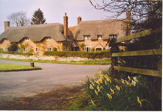
Cheriton, Hampshire

Cheriton is a village and civil parish near Alresford in Hampshire, England. The settlement is close to the site of the 1644 Battle of Cheriton, fought...
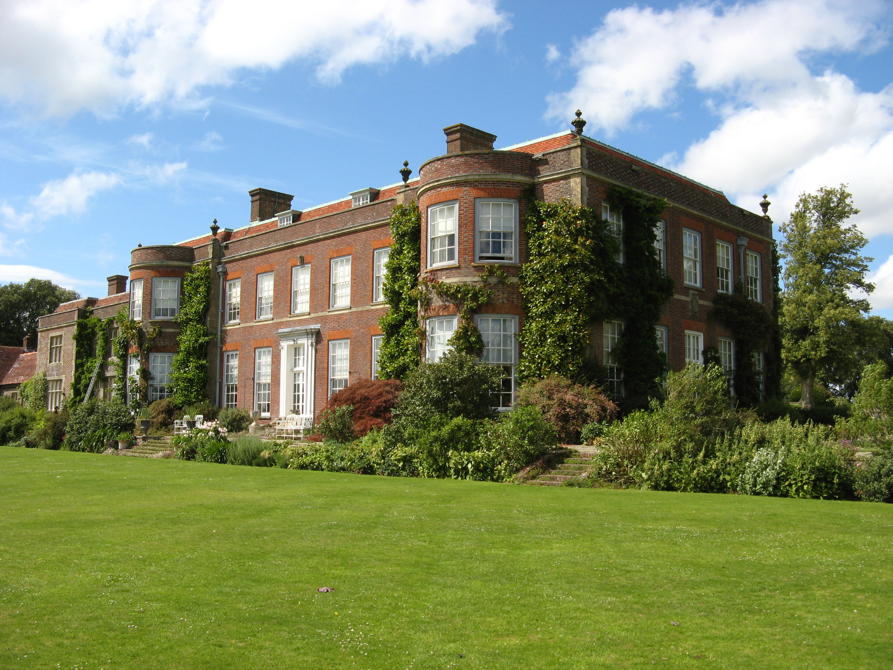
Hinton Ampner

Hinton Ampner is a village and country house estate with gardens and former civil parish, now in the parish of Bramdean and Hinton Ampner, in the Winchester...
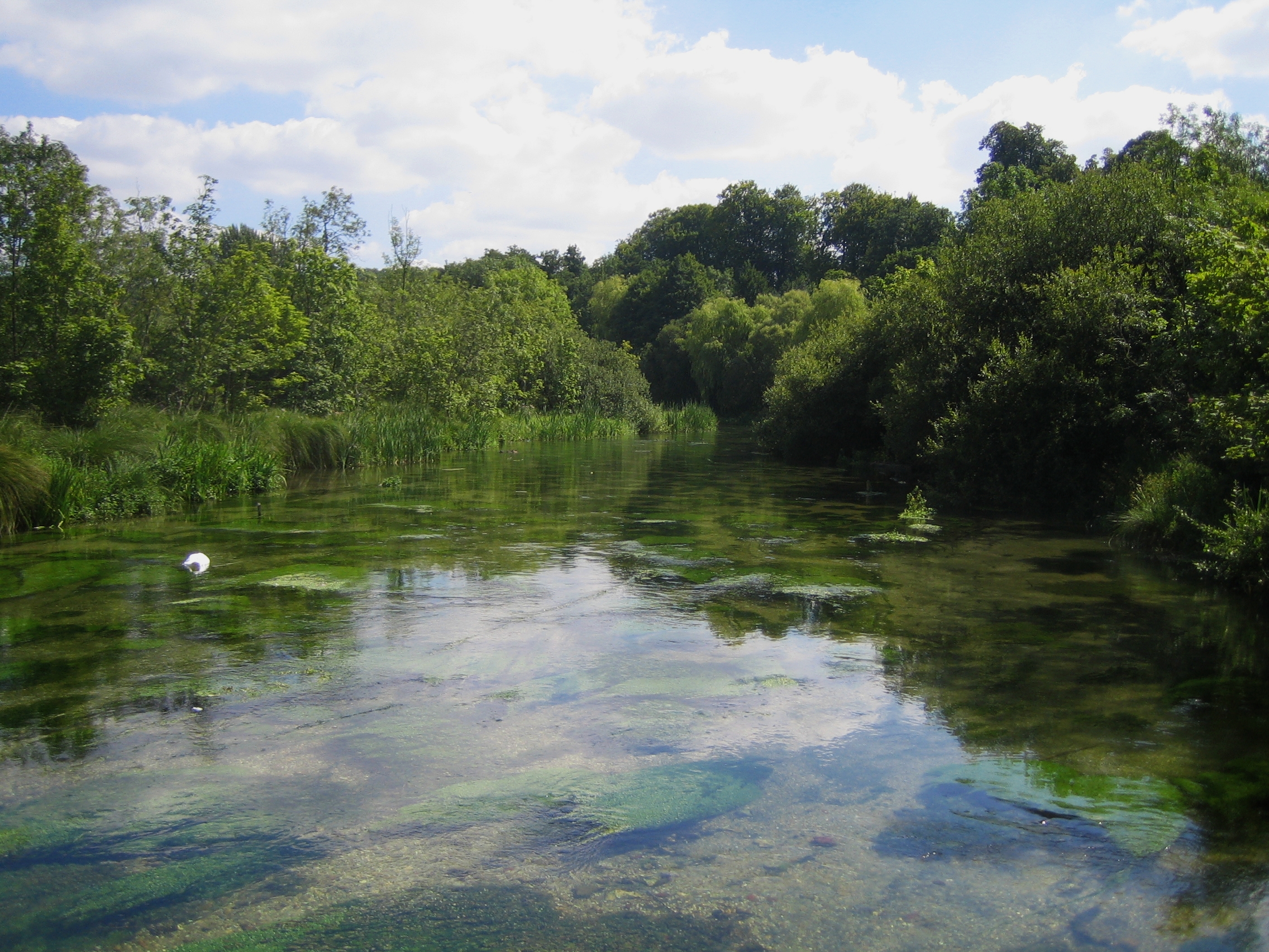
Itchen Way

The Itchen Way is a 31.80-mile (51.18 km) long-distance footpath following the River Itchen in Hampshire, England, from its source near Hinton Ampner House...
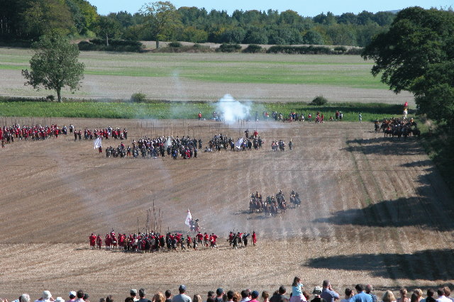
Battle of Cheriton

The Battle of Cheriton of 29 March 1644 was an important Parliamentarian victory during the First English Civil War. Sir William Waller's "Army of the...

Bramdean

Bramdean is a village and former civil parish, now in the parish of Bramdean and Hinton Ampner, in the Winchester district, in the county of Hampshire...

Bramdean and Hinton Ampner

Bramdean and Hinton Ampner is a civil parish in the English county of Hampshire, forming part of the area administered as the City of Winchester. Its main...

Nearby Amenities

Located within 500m of 51.039632,-1.1722231
The data included in this document is from www.openstreetmap.org. The data is made available under ODbL.

Have you been to Shorley Copse?

Leave your review of Shorley Copse below (or comments, questions and feedback).