Dunhampstead
Settlement in Worcestershire Wychavon
England
Dunhampstead
The requested URL returned error: 429 Too Many Requests
If you have any feedback on the listing, please let us know in the comments section below.
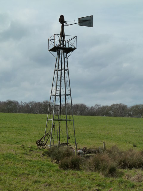
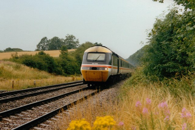
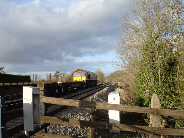
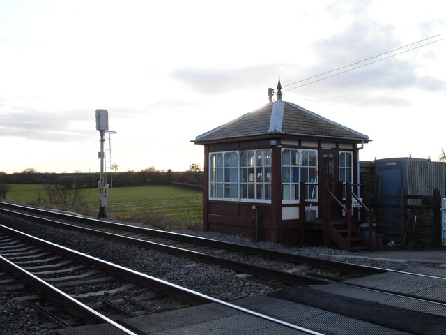
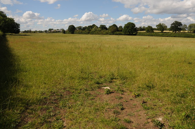
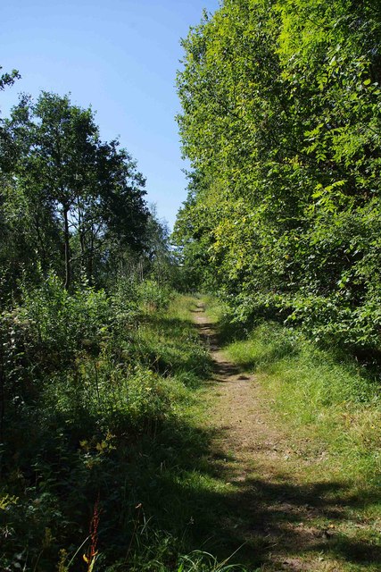
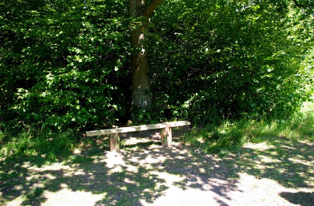
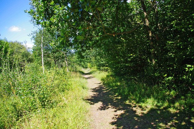
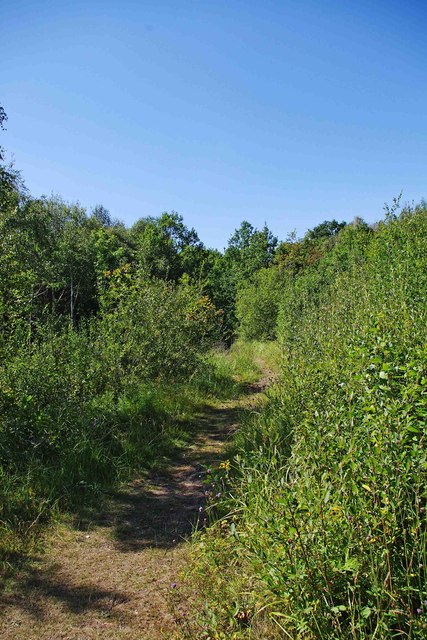
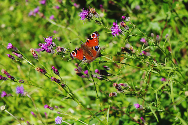
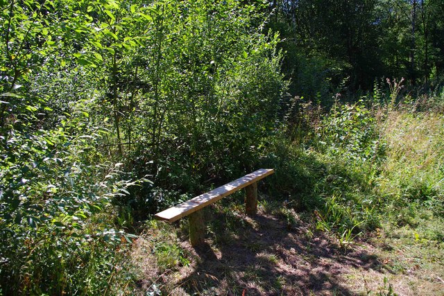
Dunhampstead Images
Images are sourced within 2km of 52.241233/-2.128114 or Grid Reference SO9160. Thanks to Geograph Open Source API. All images are credited.


Dunhampstead is located at Grid Ref: SO9160 (Lat: 52.241233, Lng: -2.128114)
Administrative County: Worcestershire
District: Wychavon
Police Authority: West Mercia
What 3 Words
///classic.snipe.ordeals. Near Droitwich, Worcestershire
Nearby Locations
Related Wikis

Dunhampstead
Dunhampstead is a small village in the English county of Worcestershire. It is located about 6 miles to the north-east of Worcester and around half a...

Oddingley
Oddingley is a village and civil parish in the English county of Worcestershire, approximately 9 km (5.6 mi) north-east of the county town of Worcester...
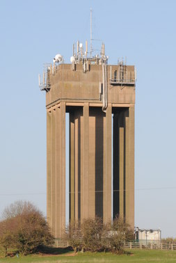
Droitwich Water Tower
The Droitwich Water Tower, also known as Yew Tree Hill Water Tower, is a structure on Yew Tree Hill in Droitwich, England, owned and operated by Severn...

Hadzor
Hadzor is a small village near Droitwich, Worcestershire, England. There are around fourteen houses and a Roman Catholic church in the village, although...
Nearby Amenities
Located within 500m of 52.241233,-2.128114Have you been to Dunhampstead?
Leave your review of Dunhampstead below (or comments, questions and feedback).