Blackwater Wood

Wood, Forest in Oxfordshire South Oxfordshire

England

Blackwater Wood

Menmarsh Road on a frosty morning Just for a while the rather straight road wiggles a bit.
Menmarsh Road on a frosty morning Credit: Robin Webster

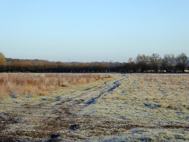
Blackwater Wood is a picturesque woodland located in the county of Oxfordshire, England. Situated near the village of Blackwater, this forested area covers a total of approximately 500 acres. The wood is renowned for its natural beauty and diverse ecosystem, attracting nature enthusiasts and hikers alike.

Blackwater Wood is predominantly composed of native tree species such as oak, beech, and birch. The dense canopy provides a shaded environment, creating a cool and tranquil atmosphere within the wood. The forest floor is carpeted with an array of wildflowers, adding bursts of color to the landscape during spring and summer months.

The woodland is intersected by a network of well-maintained paths and trails, making it accessible for visitors to explore and enjoy. These paths lead to various points of interest, including a small lake and a meandering stream that runs through the wood. The stream is home to a variety of aquatic life, such as trout and water insects, adding to the ecological diversity of the area.

Blackwater Wood is also a haven for wildlife, providing a habitat for numerous species of birds, mammals, and insects. Birdwatchers may spot woodpeckers, herons, and owls, among others, while mammals such as deer, foxes, and badgers roam the wood. The forest's varied habitats, including open glades and dense thickets, support a rich biodiversity.

Overall, Blackwater Wood offers visitors a chance to immerse themselves in nature and experience the tranquility of a well-preserved woodland in the heart of Oxfordshire.

If you have any feedback on the listing, please let us know in the comments section below.

Blackwater Wood Images

Images are sourced within 2km of 51.795154/-1.1589453 or Grid Reference SP5811. Thanks to Geograph Open Source API. All images are credited.

Menmarsh Road on a frosty morning Just for a while the rather straight road wiggles a bit.
Menmarsh Road on a frosty morning
Just for a while the rather straight road wiggles a bit.
Footpath across a frosty field The path reference is Stanton St John 363/5/10.
Footpath across a frosty field
The path reference is Stanton St John 363/5/10.
Private No public right of way And to remove any perceived loophole - 'Private please keep out'.
Private No public right of way
And to remove any perceived loophole - 'Private please keep out'.
Oxford transmitting station, Beckley A television and radio station.
Oxford transmitting station, Beckley
A television and radio station.
Bridleway on the route of a Roman road, near RSPB Otmoor Looking north.
Bridleway on the route of a Roman road, near RSPB Otmoor
Looking north.
Woodperry Manor
Woodperry Manor
Folly Farm
Folly Farm
Beckley
Beckley
Assumption of the Blessed Virgin Mary Church, Beckley
St Barnabas Church, Horton-cum-Studley Designed in 1867 by William Butterfield. A leaflet in the church says: "One of its most striking features is the colour of the brickwork, which is faded yelow banded with red and dark blue.  . . The bricks were hand-made locally."
St Barnabas Church, Horton-cum-Studley
Designed in 1867 by William Butterfield. A leaflet in the church says: "One of its most striking features is the colour of the brickwork, which is faded yelow banded with red and dark blue. . . The bricks were hand-made locally."
West Hill Farm, Horton-cum-Studley Isis Ceramics are in farm buildings here.
West Hill Farm, Horton-cum-Studley
Isis Ceramics are in farm buildings here.
Horton-cum-Studley green Viewed from the church
Horton-cum-Studley green
Viewed from the church
Newly mown grass and Ventfield Farm, Horton-cum-Studley View from bridleway into village.
Newly mown grass and Ventfield Farm, Horton-cum-Studley
View from bridleway into village.
Sheep, Horton-cum-Studley These are on West Hill Farm.
Sheep, Horton-cum-Studley
These are on West Hill Farm.
Roman road near Beckley The roman road across Otmoor is a bridleway. This section is between the RSPB reserve and the military firing range.
Roman road near Beckley
The roman road across Otmoor is a bridleway. This section is between the RSPB reserve and the military firing range.
Drainage ditch on Otmoor View from the roman road across Otmoor. Here it is just between the RSPB area which is being converted back to wetland, and the Ministry of Defence firing range.
Drainage ditch on Otmoor
View from the roman road across Otmoor. Here it is just between the RSPB area which is being converted back to wetland, and the Ministry of Defence firing range.
Bridge over Moorbirge Brook, near Menmarsh Guide Post
Moorbirge Brook
Moorbirge Brook
Show me another place!

Blackwater Wood is located at Grid Ref: SP5811 (Lat: 51.795154, Lng: -1.1589453)

Administrative County: Oxfordshire

District: South Oxfordshire

Police Authority: Thames Valley

What 3 Words

///toasters.imitate.suckle. Near Wheatley, Oxfordshire

Related Wikis

Beckley and Stowood

Beckley and Stowood is a civil parish in the South Oxfordshire district of Oxfordshire, England. According to the United Kingdom Census 2011 it had a...
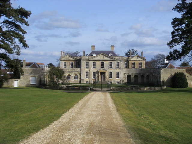
Woodperry House

Woodperry House is a Grade I listed building in Stanton St John, South Oxfordshire, England. Woodperry was built from 1728 for John Morse, a London goldsmith...

Beckley Park

Beckley Park is an English country house located near the village of Beckley, in Oxfordshire, England. It was built in 1540 by Lord Williams of Thame,...

Looping Star (Clacton Pier)

Looping Star is a steel roller coaster located at Clacton Pier in Clacton-on-Sea, Essex manufactured by Pinfari. It was formerly located at Codonas Amusement...

Holly Wood, Oxfordshire

Holly Wood is a 25.6-hectare (63-acre) biological Site of Special Scientific Interest north-east of Oxford in Oxfordshire.This ancient wood is a small...

Oxford transmitting station

The Oxford transmitting station (sometimes known as the Beckley transmitter) is a broadcasting and telecommunications facility, situated on land 129.5...

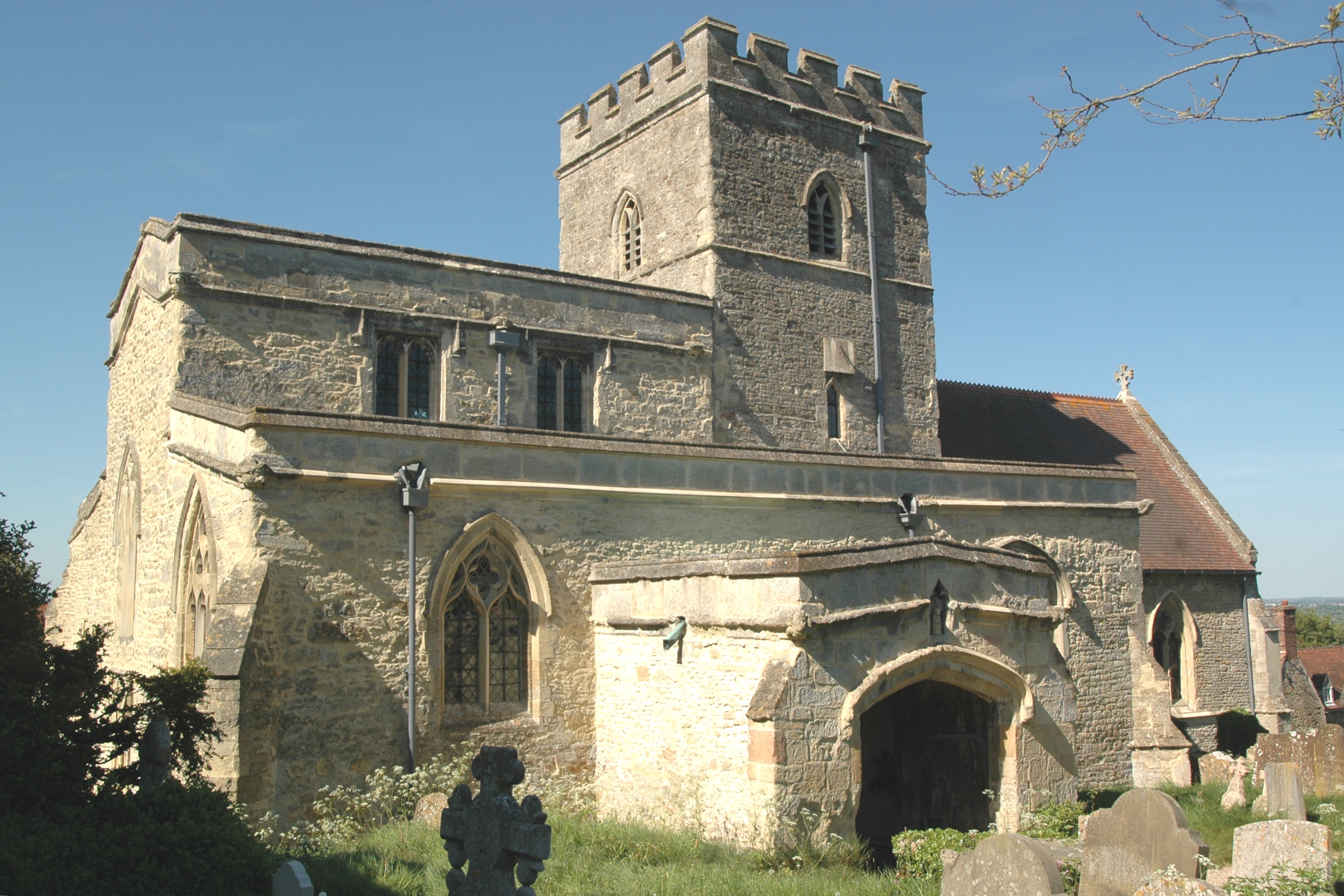
Beckley, Oxfordshire

Beckley is a village in the civil parish of Beckley and Stowood, in the South Oxfordshire district, in the county of Oxfordshire, England. It is about...

Studley Priory, Oxfordshire

Studley Priory was a small house of Benedictine nuns, ruled by a prioress. It was founded some time before 1176 in the hamlet of Studley in what is now...

Nearby Amenities

Located within 500m of 51.795154,-1.1589453
Barrier: stile
Lat/Long: 51.7908711/-1.1568115
Barrier: lift_gate
Lat/Long: 51.795566/-1.1545417
Power: pole
Lat/Long: 51.7983531/-1.1564693
Power: pole
Lat/Long: 51.7982884/-1.1564961
Power: pole
Lat/Long: 51.7988275/-1.1554259
Power: pole
Lat/Long: 51.7960839/-1.1609138
Power: pole
Lat/Long: 51.7969547/-1.1591248
Power: pole
Lat/Long: 51.7965467/-1.1600314
Power: pole
Lat/Long: 51.797391/-1.1582503
Power: pole
Lat/Long: 51.7972798/-1.1586258
Power: pole
Lat/Long: 51.7967109/-1.1598115
Power: pole
Lat/Long: 51.7988707/-1.1555144
Power: pole
Source: Bing
Lat/Long: 51.794112/-1.1650338
Power: pole
Lat/Long: 51.7960763/-1.1610846
Power: pole
Lat/Long: 51.7978622/-1.1573705
Power: pole
Lat/Long: 51.7974606/-1.1645258
Power: pole
Lat/Long: 51.7947869/-1.1636434
The data included in this document is from www.openstreetmap.org. The data is made available under ODbL.

Have you been to Blackwater Wood?

Leave your review of Blackwater Wood below (or comments, questions and feedback).