Hatfield Plantation
Wood, Forest in Nottinghamshire Bassetlaw
England
Hatfield Plantation

Hatfield Plantation is a picturesque area located in Nottinghamshire, England. Situated within the heart of the county, the plantation is known for its vast woodlands and lush forests, offering visitors a serene and tranquil environment.
Covering an area of approximately 500 acres, Hatfield Plantation is a popular destination for nature lovers, hikers, and wildlife enthusiasts alike. The plantation boasts an impressive variety of trees, including oak, beech, and pine, which create a diverse and vibrant ecosystem. This rich vegetation provides a habitat for a wide range of wildlife, including deer, foxes, and various bird species.
The plantation is well-known for its well-maintained walking trails, which allow visitors to explore the beauty of the woodlands at their own pace. These trails are suitable for all ages and fitness levels, with options for both leisurely strolls and more challenging hikes. Along the way, visitors can enjoy breathtaking views of the surrounding countryside and may even spot some of the plantation's resident wildlife.
In addition to its natural beauty, Hatfield Plantation also offers various amenities for visitors. The plantation features picnic areas and benches, providing the perfect spot for a leisurely lunch amidst the peaceful surroundings. There is also a visitor center where guests can learn more about the history of the plantation and its importance in the local ecosystem.
Overall, Hatfield Plantation in Nottinghamshire is a hidden gem for nature enthusiasts, offering a beautiful setting to escape the hustle and bustle of everyday life and immerse oneself in the wonders of the woodlands.
If you have any feedback on the listing, please let us know in the comments section below.
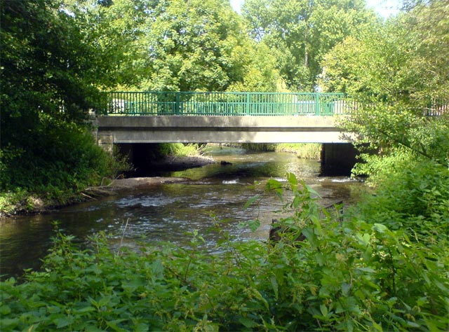
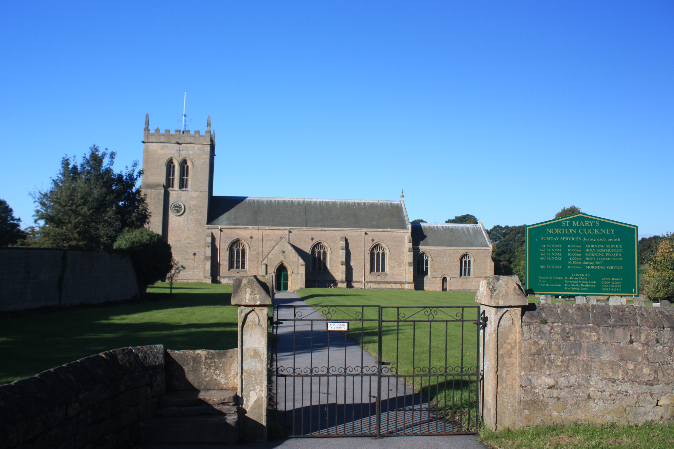
Hatfield Plantation Images
Images are sourced within 2km of 53.230054/-1.1324362 or Grid Reference SK5870. Thanks to Geograph Open Source API. All images are credited.


Hatfield Plantation is located at Grid Ref: SK5870 (Lat: 53.230054, Lng: -1.1324362)
Administrative County: Nottinghamshire
District: Bassetlaw
Police Authority: Nottinghamshire
What 3 Words
///timing.tiny.youths. Near Warsop, Nottinghamshire
Nearby Locations
Related Wikis

Meden Vale
Meden Vale is a small former coal mining village originally known as Welbeck Colliery Village prior to renaming in the late 1960s.It is situated close...
Cuckney
Cuckney is a village and former civil parish, now in the parish of Norton, Cuckney, Holbeck and Welbeck, in the Bassetlaw district of Nottinghamshire,...

St Mary's Church, Norton Cuckney
St Mary's Church, Norton Cuckney is a Grade I listed parish church in the Church of England in Cuckney.At the edge of the churchyard are the remains of...
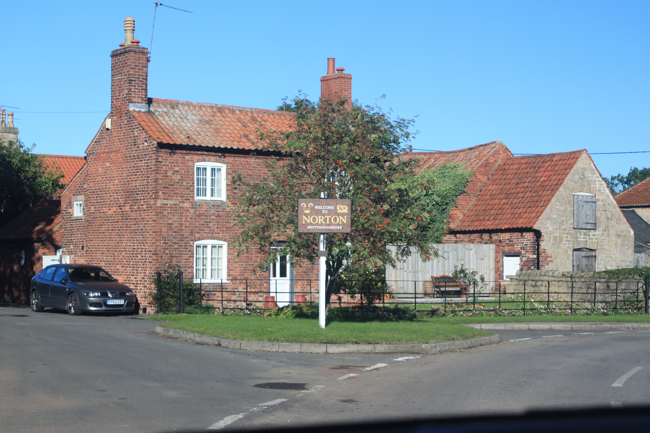
Norton, Nottinghamshire
Norton is a village and former civil parish, now in the parish of Norton, Cuckney, Holbeck and Welbeck, in the Bassetlaw district, in the county of Nottinghamshire...

Cuckney Castle
Cuckney Castle was in the village of Cuckney, Nottinghamshire between Worksop and Market Warsop (grid reference SK566714). It was a motte and bailey fortress...
Norton and Cuckney
Norton and Cuckney is a former civil parish, now in the parish of Norton, Cuckney, Holbeck and Welbeck, in the Bassetlaw district, within the county of...

Cuckney Hill
Cuckney Hill lies between the village of Cuckney and the town of Market Warsop, in Nottinghamshire, East Midlands, England. Locals ironically to it as...

St Peter and St Paul's Church, Church Warsop
St Peter and St Paul's Church, Church Warsop is a Grade I listed parish church in the Church of England in Church Warsop. Several gravestones, the boundary...
Nearby Amenities
Located within 500m of 53.230054,-1.1324362Have you been to Hatfield Plantation?
Leave your review of Hatfield Plantation below (or comments, questions and feedback).