Boathouse Copse
Wood, Forest in Hampshire Basingstoke and Deane
England
Boathouse Copse

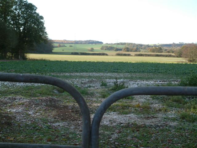
Boathouse Copse is a picturesque woodland located in the county of Hampshire, England. Situated near the village of Beaulieu, this charming forest covers an area of approximately 20 acres and is a popular destination for nature enthusiasts and hikers.
The copse is predominantly made up of deciduous trees, such as oak, beech, and birch, which create a dense canopy, providing a cool and shaded environment. The forest floor is covered with a thick layer of leaf litter and moss, adding to its enchanting atmosphere.
One of the standout features of Boathouse Copse is the presence of a small stream that meanders through the woodland. This babbling brook adds to the tranquility of the setting and provides a habitat for various aquatic species, including frogs and dragonflies.
The copse is also home to a diverse range of wildlife. Visitors may encounter woodland mammals such as deer, squirrels, and foxes, as well as a variety of bird species, including woodpeckers, owls, and songbirds. The forest is particularly renowned for its population of rare butterflies, making it a haven for butterfly enthusiasts and photographers.
Several walking trails wind their way through Boathouse Copse, allowing visitors to explore the forest's natural beauty at their own pace. These trails offer opportunities for leisurely walks, picnics, and birdwatching, while also providing a peaceful retreat away from the hustle and bustle of everyday life.
Overall, Boathouse Copse is a captivating woodland that showcases Hampshire's natural splendor. Whether visitors are seeking a serene escape or a chance to immerse themselves in the wonders of nature, this idyllic forest is sure to leave a lasting impression.
If you have any feedback on the listing, please let us know in the comments section below.
Boathouse Copse Images
Images are sourced within 2km of 51.314066/-1.1701077 or Grid Reference SU5757. Thanks to Geograph Open Source API. All images are credited.


Boathouse Copse is located at Grid Ref: SU5757 (Lat: 51.314066, Lng: -1.1701077)
Administrative County: Hampshire
District: Basingstoke and Deane
Police Authority: Hampshire
What 3 Words
///infringe.enough.jubilant. Near Sherborne St John, Hampshire
Nearby Locations
Related Wikis

Ramsdell
Ramsdell is a small village in the civil parish of Wootton St Lawrence with Ramsdell, in the Basingstoke and Deane district, in the English county of Hampshire...

Ewhurst, Hampshire
Ewhurst is a village in Hampshire, England, and 6.2 miles (10.0 km) northwest of Basingstoke. Its parish church dates from 1682. The village itself is...
West Heath, Hampshire
West Heath is a hamlet in the Basingstoke and Deane district of Hampshire, England. It is in the civil parish of Wootton St Lawrence. Its nearest town...
Charter Alley
Charter Alley is a village in north east Hampshire, England. According to the Post Office the majority of the population at the 2011 Census was included...
Wolverton Common
Wolverton Common is a hamlet in north Hampshire, England. Its nearest town is Tadley, which lies approximately 2.5 miles (4 km) east from the hamlet....
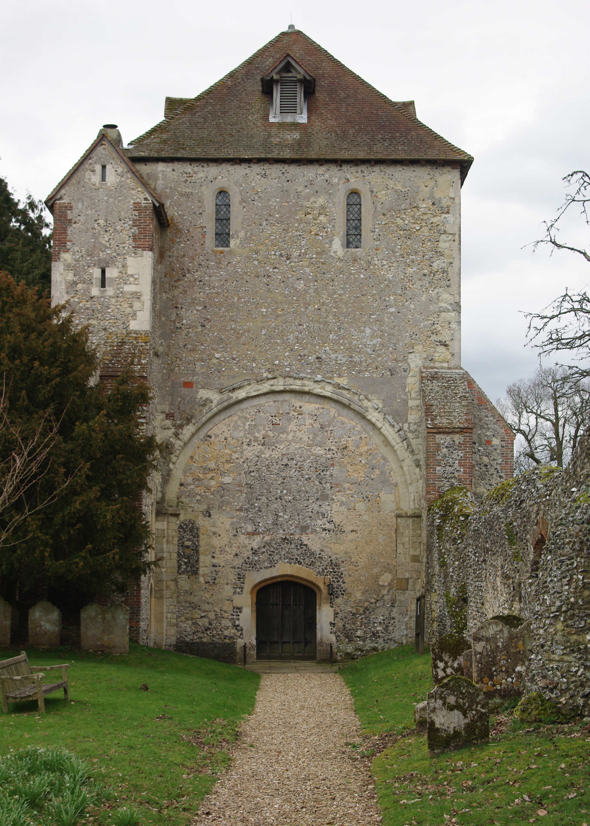
Pamber Priory
Pamber Priory is a Church of England parish church and former priory, then known as West Sherborne Priory or Monk Sherborne Priory, at Monk Sherborne in...
Monk Sherborne
Monk Sherborne is a village in north Hampshire, England. Sherborne Priory is the burial place of William of Drogheada. == Governance == Monk Sherborne...

Upper Wootton
Upper Wootton is a small village in the civil parish of Wootton St Lawrence with Ramsdell in the Basingstoke and Deane district of Hampshire, England....
Nearby Amenities
Located within 500m of 51.314066,-1.1701077Have you been to Boathouse Copse?
Leave your review of Boathouse Copse below (or comments, questions and feedback).