Abbot Hag Wood

Wood, Forest in Yorkshire Ryedale

England

Abbot Hag Wood

Ionic Temple The Ionic Temple at Rievaulx Terrace.
Ionic Temple Credit: T Eyre

Abbot Hag Wood, located in Yorkshire, England, is a picturesque forest known for its natural beauty and historical significance. This ancient woodland covers an area of approximately 100 hectares and is characterized by its diverse range of trees and wildlife.

The wood is predominantly made up of broadleaf trees, including oak, birch, and beech, which create a dense canopy that filters sunlight and provides a habitat for a variety of flora and fauna. Bluebells, wood anemones, and wild garlic are just a few of the wildflowers that carpet the forest floor during the spring, creating a stunning display of colors and scents.

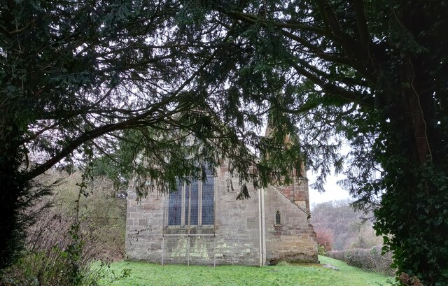
Abbot Hag Wood is not only renowned for its natural splendor but also for its rich history. The wood takes its name from the nearby site of a medieval abbey, which was once home to a community of monks. The ruins of the abbey can still be seen today, adding a touch of mystery and intrigue to the woodland experience.

Visitors to Abbot Hag Wood can enjoy a range of activities, including walking, birdwatching, and nature photography. The forest is home to a variety of bird species, such as woodpeckers, tits, and owls, making it a popular destination for bird enthusiasts.

Overall, Abbot Hag Wood offers a tranquil and enchanting experience for nature lovers and history enthusiasts alike. Its natural beauty, diverse wildlife, and historical significance make it a must-visit destination for anyone seeking a peaceful escape in the heart of Yorkshire.

If you have any feedback on the listing, please let us know in the comments section below.

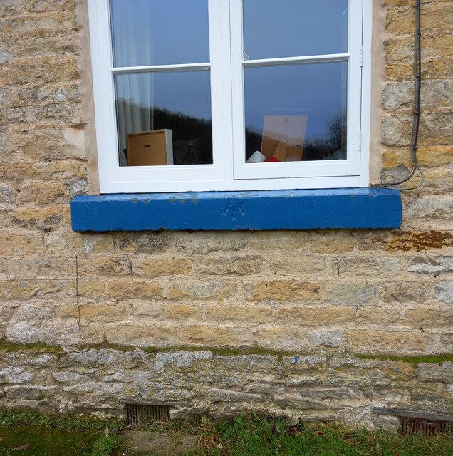
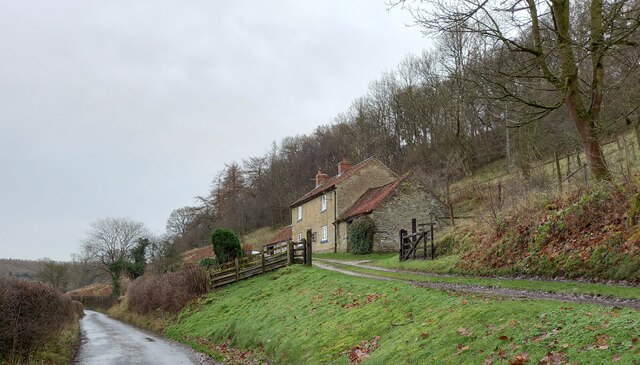
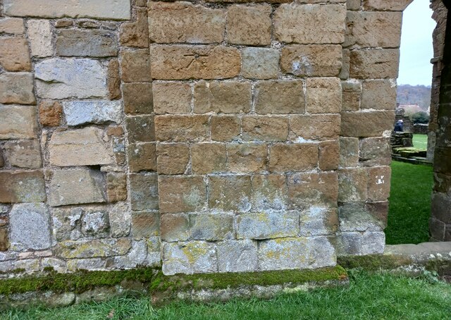
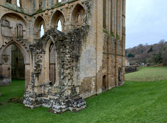
Abbot Hag Wood Images

Images are sourced within 2km of 54.249478/-1.1127695 or Grid Reference SE5784. Thanks to Geograph Open Source API. All images are credited.
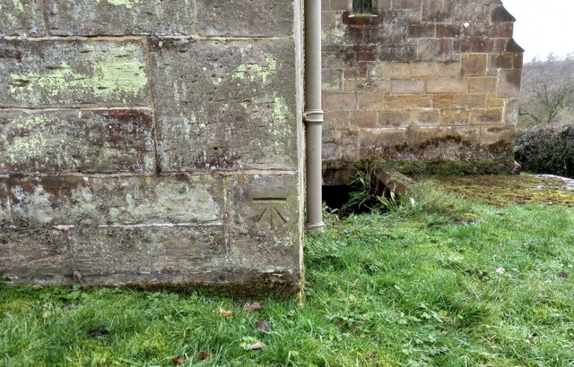
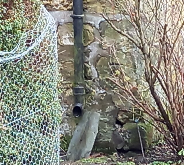
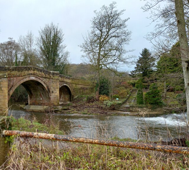
Ionic Temple The Ionic Temple at Rievaulx Terrace.
Ionic Temple
The Ionic Temple at Rievaulx Terrace.
Bow Bridge Late 18th or early 19th century bridge. <span class="nowrap"><a title="https://historicengland.org.uk/listing/the-list/list-entry/1149190" rel="nofollow ugc noopener" href="https://historicengland.org.uk/listing/the-list/list-entry/1149190">Link</a><img style="margin-left:2px;" alt="External link" title="External link - shift click to open in new window" src="https://s1.geograph.org.uk/img/external.png" width="10" height="10"/></span>
Bow Bridge
Late 18th or early 19th century bridge. LinkExternal link
Duncombe Park Army Camp - sewage treatment tank About 3km after crossing Rievaulx Bridge with its opportunity to gaze at the majestic abbey, the Cleveland Way crosses a concrete road at Griff Lodge. Here the National Trail bears left to Helmsley avoiding Duncombe Park.

The concrete road is a reminder of the military presence during WW2 at Duncombe Park. Following it through Park Plain Wood reveals more evidence. Hidden among the mature beech trees are concrete and brick foundations for the Nissan huts. A solitary hut remains, “a steel rib from the roof survives, though not in situ”. In Blackdale Howl Wood, I found a brick sump which I assume to be associated with sewage treatment.

The camp was occupied by the 11th Armoured Division when it was formed in 1941. There is surprisingly very little history available online about the camp. A photo in the Imperial War Museum is captioned “… the Prime Minister inspects Valentine tanks and crews of 11th Armoured Division at Helmsley …” which has been identified as Duncombe Park. There is a couple of interesting oral histories at the Imperial War Museum which confirms Duncombe Park and point to other types of tanks being stationed there: Covenanters, Crusaders, Comets, Cromwells and Centaurs.

At some time later in the war, the 22nd Dragoons were stationed there, and later still Canadian troops. When these had left, they were followed by the Polish 4th Armoured Regiment and the 2nd Warsaw Armoured Brigade.

For further info. see my blog: Out and about ... (2021). Duncombe Park Army Camp. [online] Available at: <span class="nowrap"><a title="http://www.fhithich.uk/?p=25543" rel="nofollow ugc noopener" href="http://www.fhithich.uk/?p=25543">Link</a><img style="margin-left:2px;" alt="External link" title="External link - shift click to open in new window" src="https://s1.geograph.org.uk/img/external.png" width="10" height="10"/></span> [Accessed 12 Dec. 2021].
Duncombe Park Army Camp - sewage treatment tank
About 3km after crossing Rievaulx Bridge with its opportunity to gaze at the majestic abbey, the Cleveland Way crosses a concrete road at Griff Lodge. Here the National Trail bears left to Helmsley avoiding Duncombe Park. The concrete road is a reminder of the military presence during WW2 at Duncombe Park. Following it through Park Plain Wood reveals more evidence. Hidden among the mature beech trees are concrete and brick foundations for the Nissan huts. A solitary hut remains, “a steel rib from the roof survives, though not in situ”. In Blackdale Howl Wood, I found a brick sump which I assume to be associated with sewage treatment. The camp was occupied by the 11th Armoured Division when it was formed in 1941. There is surprisingly very little history available online about the camp. A photo in the Imperial War Museum is captioned “… the Prime Minister inspects Valentine tanks and crews of 11th Armoured Division at Helmsley …” which has been identified as Duncombe Park. There is a couple of interesting oral histories at the Imperial War Museum which confirms Duncombe Park and point to other types of tanks being stationed there: Covenanters, Crusaders, Comets, Cromwells and Centaurs. At some time later in the war, the 22nd Dragoons were stationed there, and later still Canadian troops. When these had left, they were followed by the Polish 4th Armoured Regiment and the 2nd Warsaw Armoured Brigade. For further info. see my blog: Out and about ... (2021). Duncombe Park Army Camp. [online] Available at: LinkExternal link [Accessed 12 Dec. 2021].
Rievaulx, old chapel The benchmark is cut into a right hand cornerstone adjacent to a wooden post. The building looks as if it may have been a chapel previously.
Rievaulx, old chapel
The benchmark is cut into a right hand cornerstone adjacent to a wooden post. The building looks as if it may have been a chapel previously.
Rievaulx, old chapel There is a benchmark cut into a right hand cornerstone adjacent to a wooden post. The building looks as if it may have been a chapel previously.
Rievaulx, old chapel
There is a benchmark cut into a right hand cornerstone adjacent to a wooden post. The building looks as if it may have been a chapel previously.
Rievaulx, St Mary's church The benchmark is cut into a right hand cornerstone of the wall at the rear of the church.
Rievaulx, St Mary's church
The benchmark is cut into a right hand cornerstone of the wall at the rear of the church.
Rievaulx, St Mary's church There is a benchmark cut into a right hand cornerstone of the wall at the rear of the church.
Rievaulx, St Mary's church
There is a benchmark cut into a right hand cornerstone of the wall at the rear of the church.
Rievaulx, Rye House There is a benchmark cut into a right cornerstone of the farmhouse. The picture shows a very clear horizontal cut line about 3 stone blocks up from ground level.
Rievaulx, Rye House
There is a benchmark cut into a right cornerstone of the farmhouse. The picture shows a very clear horizontal cut line about 3 stone blocks up from ground level.
Rievaulx, Rye House There is a benchmark cut into a right cornerstone of the gable end of the farmhouse. The cut mark is about 3 stone blocks up from ground level. Rievaulx Abbey can be seen in the background.
Rievaulx, Rye House
There is a benchmark cut into a right cornerstone of the gable end of the farmhouse. The cut mark is about 3 stone blocks up from ground level. Rievaulx Abbey can be seen in the background.
Rievaulx bridge The surveyors' bolt mark is on the north-east parapet of Rievaulx bridge, and is cut into the 2nd course of stone and at the apex of the bridge.
Rievaulx bridge
The surveyors' bolt mark is on the north-east parapet of Rievaulx bridge, and is cut into the 2nd course of stone and at the apex of the bridge.
Rievaulx bridge There is a surveyors' bolt mark on the north-east parapet of Rievaulx bridge, and is cut into the 2nd course of stone and at the centre of the bridge. This is the River Rye.
Rievaulx bridge
There is a surveyors' bolt mark on the north-east parapet of Rievaulx bridge, and is cut into the 2nd course of stone and at the centre of the bridge. This is the River Rye.
Rievaulx, Cross Green The benchmark is cut into a right hand cornerstone, to the right of the drainpipe.
Rievaulx, Cross Green
The benchmark is cut into a right hand cornerstone, to the right of the drainpipe.
Rievaulx, Cross Green There is a benchmark cut into a right hand cornerstone, on the front of the farmhouse and on the road facing wall.
Rievaulx, Cross Green
There is a benchmark cut into a right hand cornerstone, on the front of the farmhouse and on the road facing wall.
Rievaulx, Hagg Hall The benchmark is cut into the window sill of the property.
Rievaulx, Hagg Hall
The benchmark is cut into the window sill of the property.
Rievaulx, Hagg Hall There is a benchmark cut into the window sill of the property.
Rievaulx, Hagg Hall
There is a benchmark cut into the window sill of the property.
Rievaulx Abbey The benchmark is cut into the back wall of the ruined abbey.
Rievaulx Abbey
The benchmark is cut into the back wall of the ruined abbey.
Rievaulx Abbey There is a benchmark cut into the back wall of the ruined abbey, and is about 5 foot above ground level. It is located to the left of the first arched doorway.
Rievaulx Abbey
There is a benchmark cut into the back wall of the ruined abbey, and is about 5 foot above ground level. It is located to the left of the first arched doorway.
Rievaulx, Beck House The benchmark is cut into the gable end of Beck House.
Rievaulx, Beck House
The benchmark is cut into the gable end of Beck House.
Show me another place!

Abbot Hag Wood is located at Grid Ref: SE5784 (Lat: 54.249478, Lng: -1.1127695)

Division: North Riding

Administrative County: North Yorkshire

District: Ryedale

Police Authority: North Yorkshire

What 3 Words

///messaging.hint.dragon. Near Helmsley, North Yorkshire

Related Wikis

Rievaulx Abbey

Rievaulx Abbey ( ree-VOH) was a Cistercian abbey in Rievaulx, near Helmsley, in the North York Moors National Park, North Yorkshire, England. It was one...

Rievaulx Terrace

Rievaulx Terrace is a site located in the North York Moors National Park, in North Yorkshire, England, overlooking Rievaulx Abbey and owned by the National...

Rievaulx

Rievaulx (usually pronounced REE-voh) is a small village and civil parish in Rye Dale within the North York Moors National Park near Helmsley in North...

Swiss Cottage, Rievaulx

Swiss Cottage is a Grade II listed building in the English village of Rievaulx, North Yorkshire. It dates to at least the 17th century, with earlier origins...

Ryedale Windypits

The Ryedale Windypits are archaeologically significant natural underground features within the North York Moors National Park. This series of fissures...
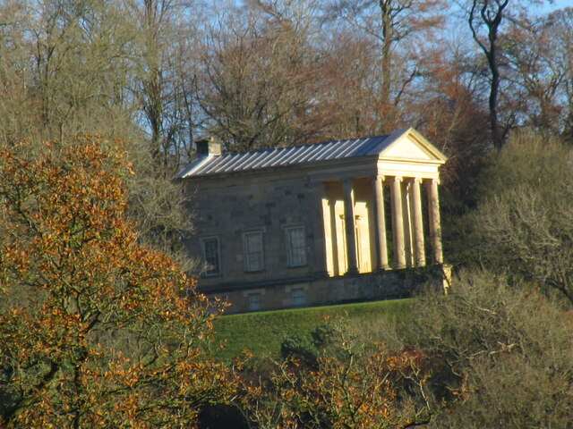
Duncombe Park

Duncombe Park is the seat of the Duncombe family who previously held the Earldom of Feversham. The title became extinct on the death of the 3rd Earl in...

Old Byland and Scawton

Old Byland and Scawton is a civil parish in the Ryedale district, in the county of North Yorkshire, England. The parish includes the villages of Old Byland...

Scawton

Scawton is a village and former civil parish in North Yorkshire, England. The hamlet lies just east of Sutton Bank, north of the A170 road, and 5 miles...

Nearby Amenities

Located within 500m of 54.249478,-1.1127695
Doric Temple
Alt Name: Tuscan Temple
Historic: folly
Source Alt Name: OS-OpenData_StreetView
Tourism: attraction
Wikidata: Q17538340
Lat/Long: 54.2521106/-1.1153968
Post Box
Collection Times: Mo-Fr 16:30; Sa 10:00
Operator: Royal Mail
Operator Wikidata: Q638098
Post Box Type: lamp
Ref: YO62 509
Royal Cypher: EIIR
Royal Cypher Wikidata: Q33102113
Survey Date: 2021-09-30
Lat/Long: 54.2509354/-1.1200555
Give Way
Lat/Long: 54.2510302/-1.1199917
Abbot Hagg Farm
Place: farm
Lat/Long: 54.2513939/-1.1134639
The Forge
Place: isolated_dwelling
Lat/Long: 54.2499523/-1.1177554
Parking
Parking: layby
Lat/Long: 54.2503244/-1.1164553
Direction South: Helmsley 2
Direction West: Rievaulx 1
Guide Type: destination
Guidepost Type: PROW
Information: guidepost
Tourism: information
Lat/Long: 54.2491501/-1.1114737
Direction East: Helmlsey 2.25
Guide Type: destination
Guidepost Type: PROW
Information: guidepost
Tourism: information
Lat/Long: 54.2490368/-1.1140524
The data included in this document is from www.openstreetmap.org. The data is made available under ODbL.

Have you been to Abbot Hag Wood?

Leave your review of Abbot Hag Wood below (or comments, questions and feedback).