Dungate

Settlement in Kent Swale

England

Dungate

Entrance to Old Rectory Stables, Milstead The drive leads off Horn Hill.
Entrance to Old Rectory Stables, Milstead Credit: pam fray

Dungate is a small rural hamlet located in the county of Kent, England. Situated in the southeastern part of the country, Dungate is part of the civil parish of Hunton, within the district of Maidstone. The hamlet is characterized by its picturesque and idyllic countryside setting, with rolling green hills, lush fields, and charming cottages.

Dungate is primarily an agricultural area, with farming being the main occupation of its residents. The fertile soil and favorable climate of the region make it ideal for cultivating various crops, including grains, fruits, and vegetables. The hamlet is also known for its dairy farming, producing high-quality milk, cheese, and other dairy products.

Although Dungate is a small settlement, it benefits from its proximity to nearby towns and villages. The historic market town of Maidstone is just a short drive away, providing residents with access to a wide range of amenities, including shops, schools, healthcare facilities, and cultural attractions.

In terms of transportation, Dungate is well-connected to the rest of Kent and beyond. The A229 road runs through the hamlet, linking it to major towns and cities in the region, such as Maidstone, Tonbridge, and Hastings. Additionally, there are local bus services that operate in the area, providing convenient transportation options for both residents and visitors.

Overall, Dungate offers a peaceful and rural lifestyle for its residents, surrounded by the natural beauty of the Kentish countryside. With its strong agricultural heritage and close-knit community, it is a place that embraces its rural roots while providing easy access to modern amenities.

If you have any feedback on the listing, please let us know in the comments section below.
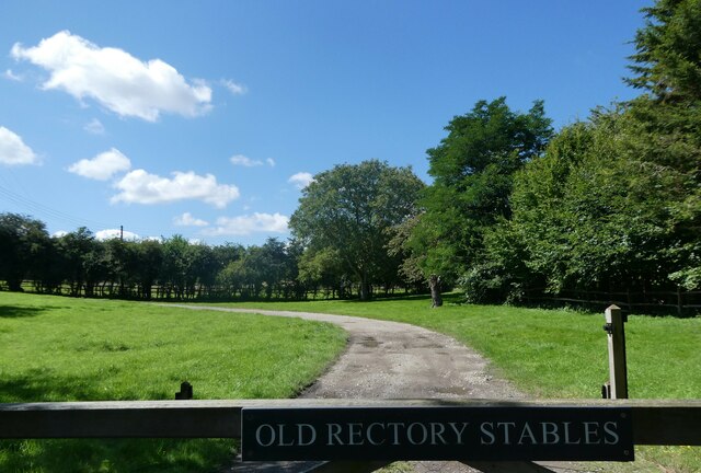
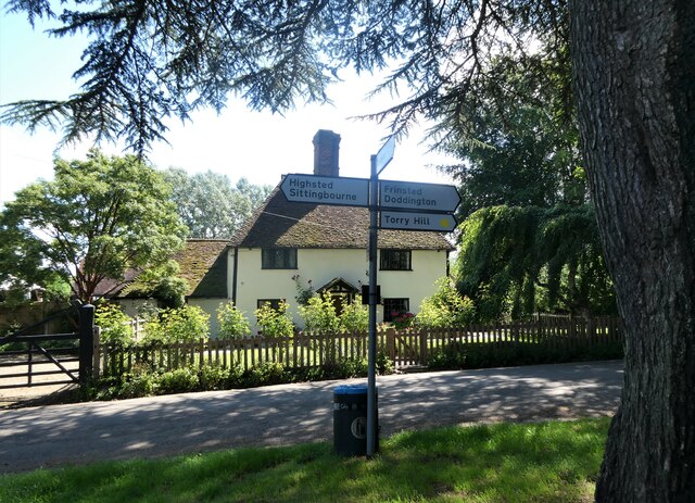
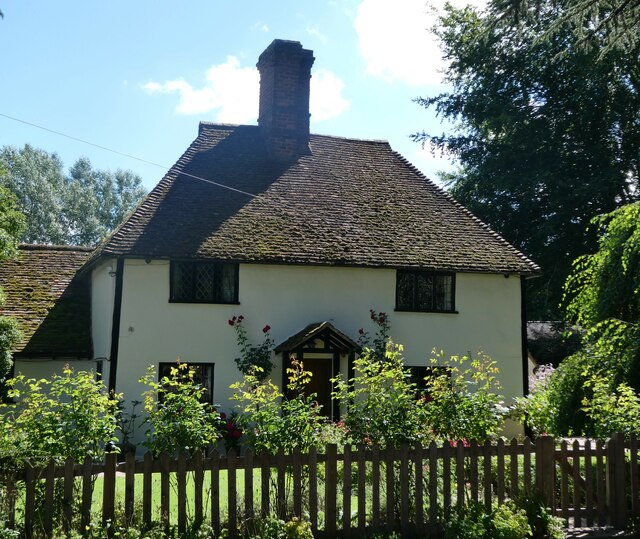
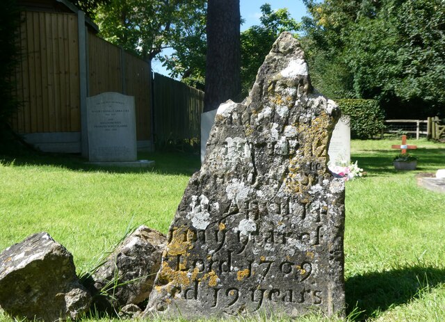
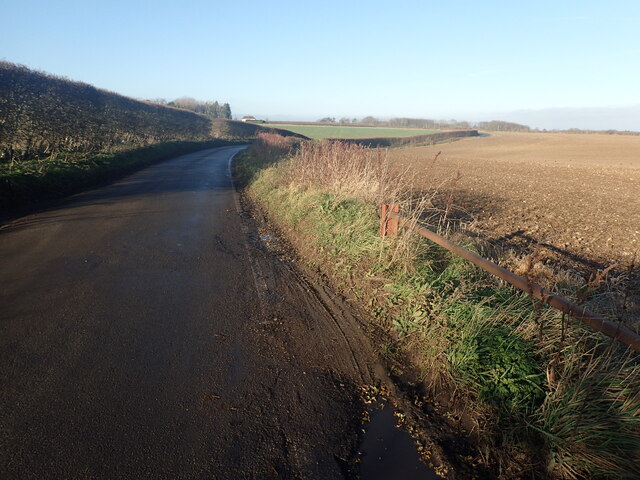
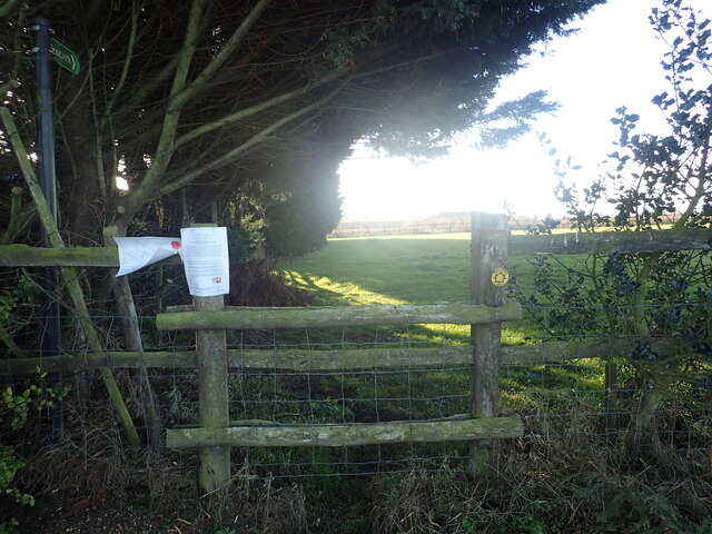
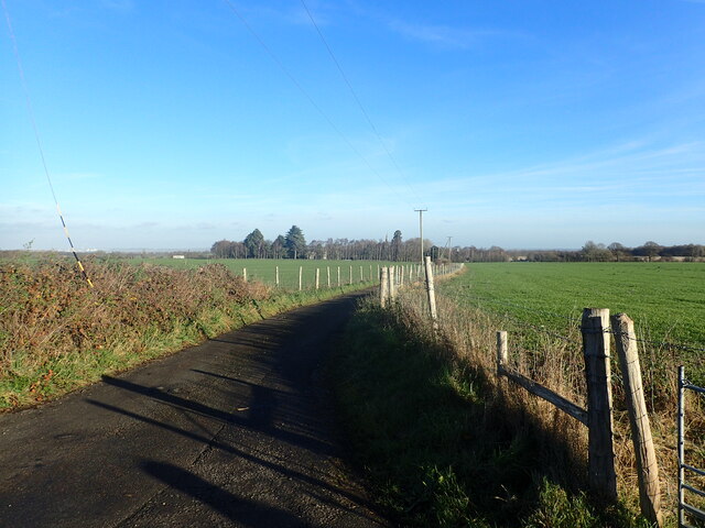
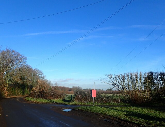
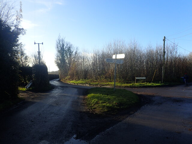
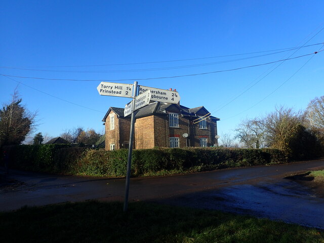
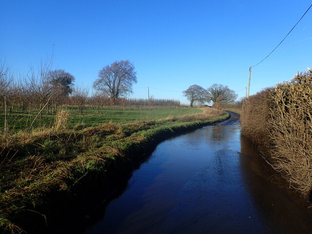
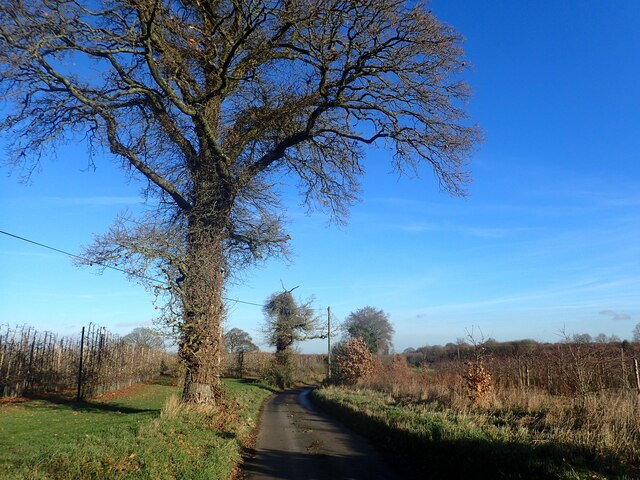
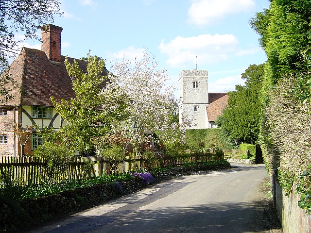
Dungate Images

Images are sourced within 2km of 51.300463/0.74927 or Grid Reference TQ9159. Thanks to Geograph Open Source API. All images are credited.

Entrance to Old Rectory Stables, Milstead The drive leads off Horn Hill.
Entrance to Old Rectory Stables, Milstead
The drive leads off Horn Hill.
Signpost and cottage, Milstead Northwards, Rawling Street leads to Sittingbourne, southwards Frinsted Road leads to Frinsted and Doddington. Rose Cottage is a Grade II listed building.
Signpost and cottage, Milstead
Northwards, Rawling Street leads to Sittingbourne, southwards Frinsted Road leads to Frinsted and Doddington. Rose Cottage is a Grade II listed building.
Rose Cottage, Milstead On Rawling Street, a Grade II listed building.
Rose Cottage, Milstead
On Rawling Street, a Grade II listed building.
Village sign, Milstead A wooden sign on the wall of the Village Hall. The plaque beneath states that it was carved by Mr. Norman Smithers and unveiled by Cllr. Jean Newman in 1993.
Village sign, Milstead
A wooden sign on the wall of the Village Hall. The plaque beneath states that it was carved by Mr. Norman Smithers and unveiled by Cllr. Jean Newman in 1993.
Ceramic tiles round the base of the Village Hall, Milstead One set of 26, one for each letter of the alphabet, created by local people. This is one of 8 contributed by Nigel Hobbins.
Ceramic tiles round the base of the Village Hall, Milstead
One set of 26, one for each letter of the alphabet, created by local people. This is one of 8 contributed by Nigel Hobbins.
Milstead Cricket Club ground and pavilion The entrance is in Rawling Street, opposite the Village Hall.
Milstead Cricket Club ground and pavilion
The entrance is in Rawling Street, opposite the Village Hall.
19th century gravestone in Milstead churchyard On the western side of the Church of St. Mary and the Holy Cross.
19th century gravestone in Milstead churchyard
On the western side of the Church of St. Mary and the Holy Cross.
Lych gate, the church of St. Mary and the Holy Cross, Milstead
Gravestone, the church of St. Mary and the Holy Cross, Milstead The remains of an 18th  century gravestone.
Gravestone, the church of St. Mary and the Holy Cross, Milstead
The remains of an 18th century gravestone.
Down Court Road This is the lane from Doddington to Bluetown and Milstead.
Down Court Road
This is the lane from Doddington to Bluetown and Milstead.
Diverted footpath This view from Down Court Road shows a footpath which has now been closed.
Diverted footpath
This view from Down Court Road shows a footpath which has now been closed.
Lane to Kingsdown Church The steeple in the distance belongs to the redundant St Catherine's Church, Kingsdown which  is now in the care of The Churches Conservation Trust. See <a title="www.geograph.org.uk/photo/1240182" href="https://www.geograph.org.uk/photo/1240182">Link</a>  and <a title="www.geograph.org.uk/photo/3333815" href="https://www.geograph.org.uk/photo/3333815">Link</a>  This view is from the junction with Down Court Road.
Lane to Kingsdown Church
The steeple in the distance belongs to the redundant St Catherine's Church, Kingsdown which is now in the care of The Churches Conservation Trust. See Link and Link This view is from the junction with Down Court Road.
View from Down Court Road This is close to the junction with the lane leading to Kingsdown Church. Great Higham is in the distance.
View from Down Court Road
This is close to the junction with the lane leading to Kingsdown Church. Great Higham is in the distance.
Crossroads at Bluetown Sawpit Road is straight ahead while Down Court Road is on the right.
Crossroads at Bluetown
Sawpit Road is straight ahead while Down Court Road is on the right.
Crossroads at Bluetown Mintching Wood Lane is to the right while the continuation of Sawpit Road is to the left.
Crossroads at Bluetown
Mintching Wood Lane is to the right while the continuation of Sawpit Road is to the left.
House at Bluetown Mintching Wood Lane is to the left of the house while Sawpit Road is to the right. The photograph is taken from Down Court Road.
House at Bluetown
Mintching Wood Lane is to the left of the house while Sawpit Road is to the right. The photograph is taken from Down Court Road.
Flooded road on Mintching Wood Lane Street View shows that it is common to have water here, even in late summer - <span class="nowrap"><a title="www.google.co.uk/maps/@51.2922289,0.7393942,3a,75y,356.57h,80.12t/data=!3m6!1e1!3m4!1sCAqZ_ztriv3A21Dsp1d4VQ!2e0!7i16384!8i8192?entry=ttu" rel="nofollow ugc noopener" href="http://www.google.co.uk/maps/@51.2922289,0.7393942,3a,75y,356.57h,80.12t/data=!3m6!1e1!3m4!1sCAqZ_ztriv3A21Dsp1d4VQ!2e0!7i16384!8i8192?entry=ttu">Link</a><img style="margin-left:2px;" alt="External link" title="External link - shift click to open in new window" src="https://s1.geograph.org.uk/img/external.png" width="10" height="10"/></span>

This was particularly bad and necessitated walking along the bank to the left of the road.
Flooded road on Mintching Wood Lane
Street View shows that it is common to have water here, even in late summer - LinkExternal link This was particularly bad and necessitated walking along the bank to the left of the road.
View from Manor Road This short lane links Manor Road with Mintching Wood Lane.
View from Manor Road
This short lane links Manor Road with Mintching Wood Lane.
Show me another place!

Dungate is located at Grid Ref: TQ9159 (Lat: 51.300463, Lng: 0.74927)

Administrative County: Kent

District: Swale

Police Authority: Kent

What 3 Words

///copies.tree.tigers. Near Sittingbourne, Kent

Nearby Locations

Dungate

Related Wikis

Dungate

Dungate is a village near the M2 motorway, in the Swale district, in the English county of Kent. It is near the town of Sittingbourne. == References... ==

Newbury, Kent

Newbury is a hamlet near the village of Erriottwood, in the Swale district, in the English county of Kent. It is near the town of Sittingbourne. ��2�...

Kingsdown, Swale

Kingsdown is a small village and former civil parish, now in the parish of Lynsted with Kingsdown, in the Swale district, in the county of Kent, England...
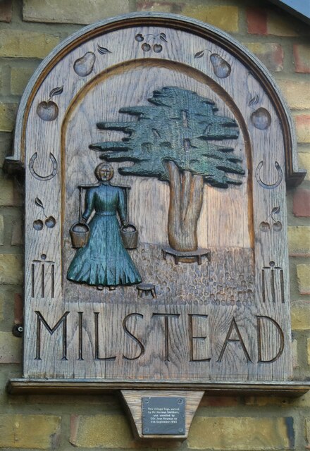
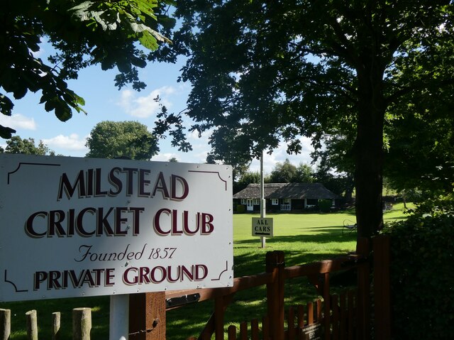
Milstead

Milstead is a village and civil parish in the borough of Swale in Kent, England. It is surrounded by the villages of Frinsted, Wichling, Doddington and...

Nearby Amenities

Located within 500m of 51.300463,0.74927
Post Box
Postal Code: ME9
Ref: ME9 2
Source: survey
Lat/Long: 51.3011918/0.749397
Dungate House
Building: yes
Wikidata: Q26627685
Lat/Long: 51.303327/0.7509954
The data included in this document is from www.openstreetmap.org. The data is made available under ODbL.

Have you been to Dungate?

Leave your review of Dungate below (or comments, questions and feedback).