Backerwoods Copse
Wood, Forest in Hampshire
England
Backerwoods Copse
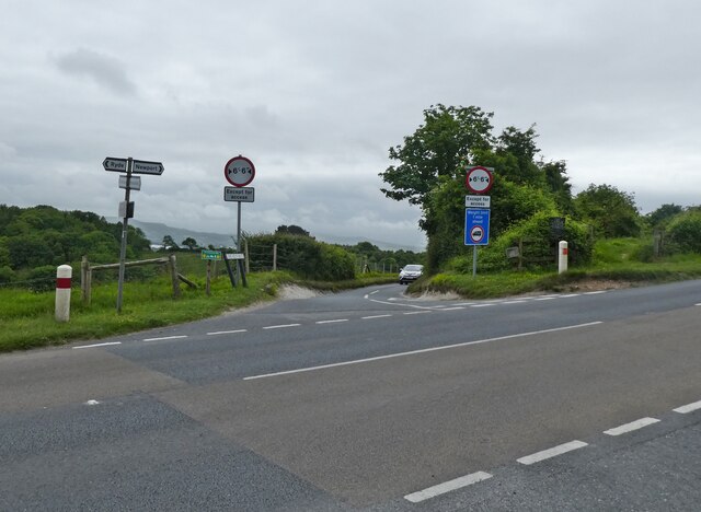
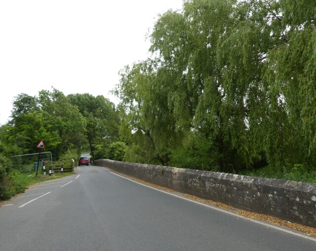
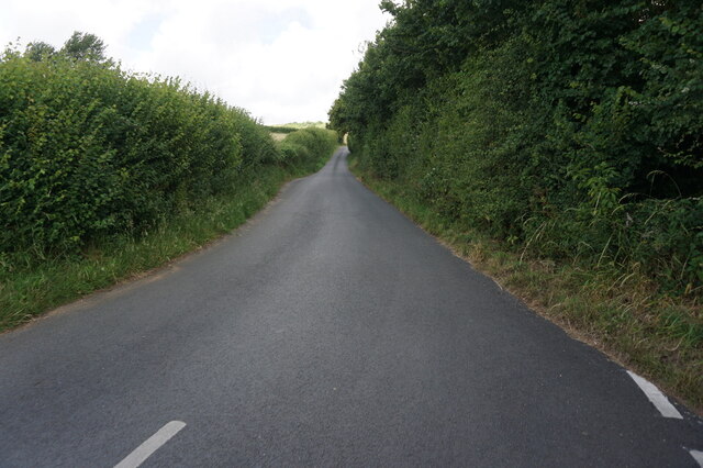
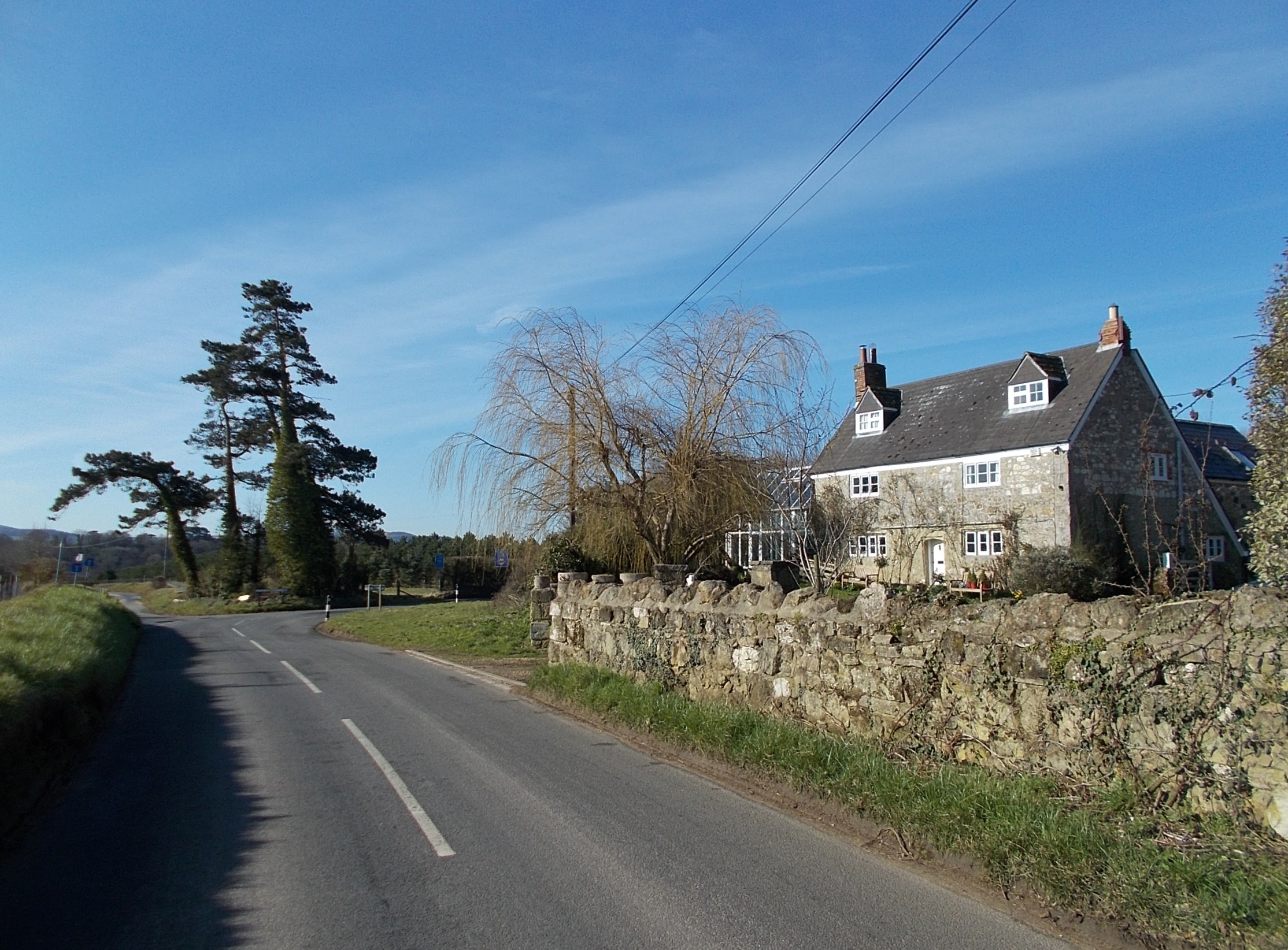
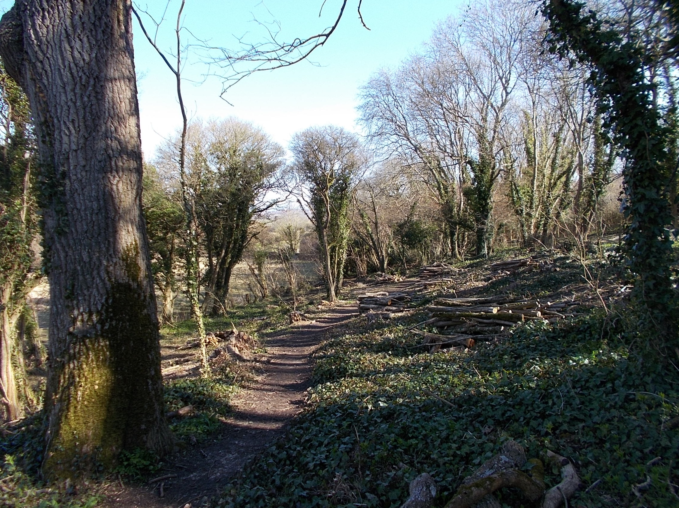
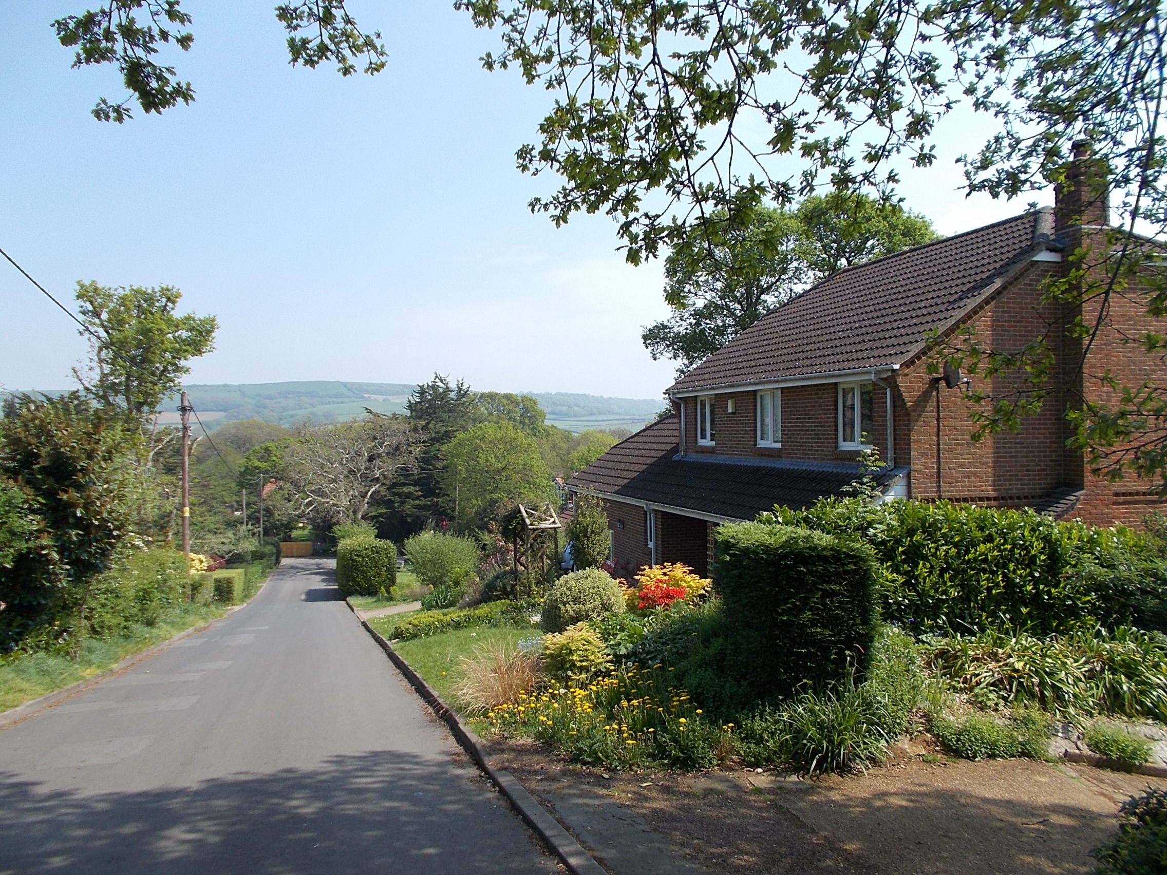
Backerwoods Copse is a picturesque woodland located in Hampshire, England. Spanning over a vast area, it is a popular destination for nature enthusiasts and those seeking tranquility amidst the beauty of nature. The copse is situated near the village of Backerwoods, giving it its name, and is easily accessible via well-maintained footpaths and roads.
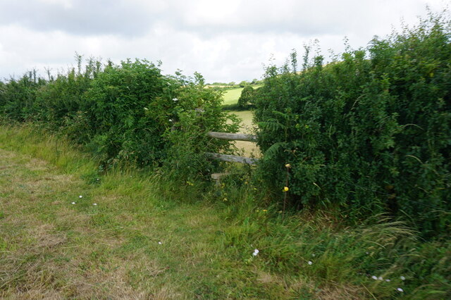
The copse is characterized by its dense canopy of trees, predominantly consisting of oak, beech, and birch. These trees provide ample shade and create a serene atmosphere that is perfect for leisurely walks or picnics. The forest floor is covered with a lush carpet of ferns, wildflowers, and moss, adding to its natural charm.
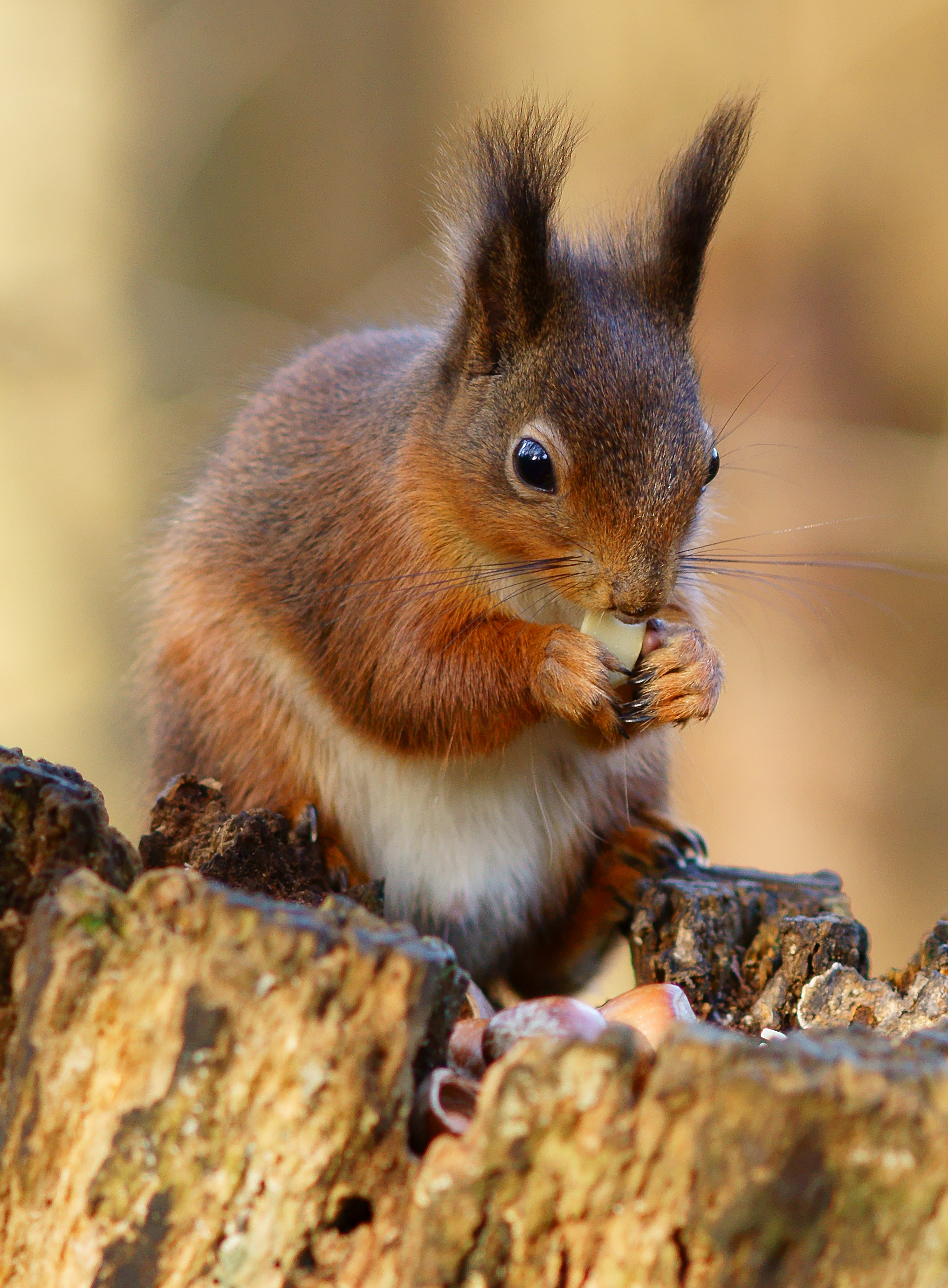
Backerwoods Copse is also home to a diverse range of wildlife, making it a haven for nature lovers and wildlife enthusiasts. Visitors may spot a variety of bird species, including woodpeckers, nuthatches, and owls, as well as small mammals like squirrels and rabbits. The copse is also known for its population of deer, which can often be seen grazing peacefully in the early hours of the morning or at dusk.
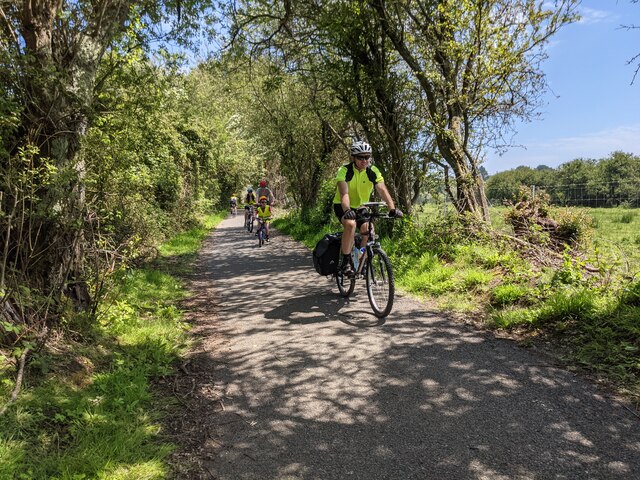
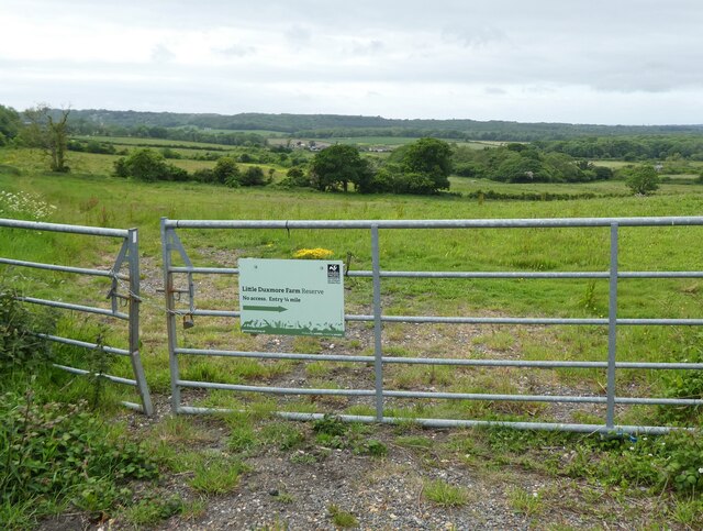
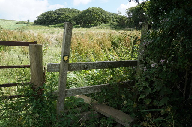
The copse offers several marked trails that allow visitors to explore its beauty at their own pace. These trails vary in difficulty, catering to both seasoned hikers and families with young children. Along the way, there are informational signs that provide interesting facts about the flora and fauna found in the copse, enhancing the educational experience.
Overall, Backerwoods Copse is a natural gem in Hampshire, offering a peaceful retreat from the hustle and bustle of everyday life. It is a place where visitors can immerse themselves in the beauty of nature and reconnect with the great outdoors.
If you have any feedback on the listing, please let us know in the comments section below.
Backerwoods Copse Images
Images are sourced within 2km of 50.677026/-1.1856501 or Grid Reference SZ5786. Thanks to Geograph Open Source API. All images are credited.


Backerwoods Copse is located at Grid Ref: SZ5786 (Lat: 50.677026, Lng: -1.1856501)
Unitary Authority: Isle of Wight
Police Authority: Hampshire
What 3 Words
///fund.shifters.gratuity. Near Newchurch, Isle of Wight
Nearby Locations
Related Wikis

Alverstone Marshes
Alverstone Marshes (grid reference SZ572859) is an 83.8 hectare biological Site of Special Scientific Interest on the Isle of Wight, notified in 1951....
Knighton, Isle of Wight
Knighton is a hamlet near to Newchurch on the Isle of Wight. The name should be pronounced as Kay-nighton to avoid confusion with the larger, homophonic...
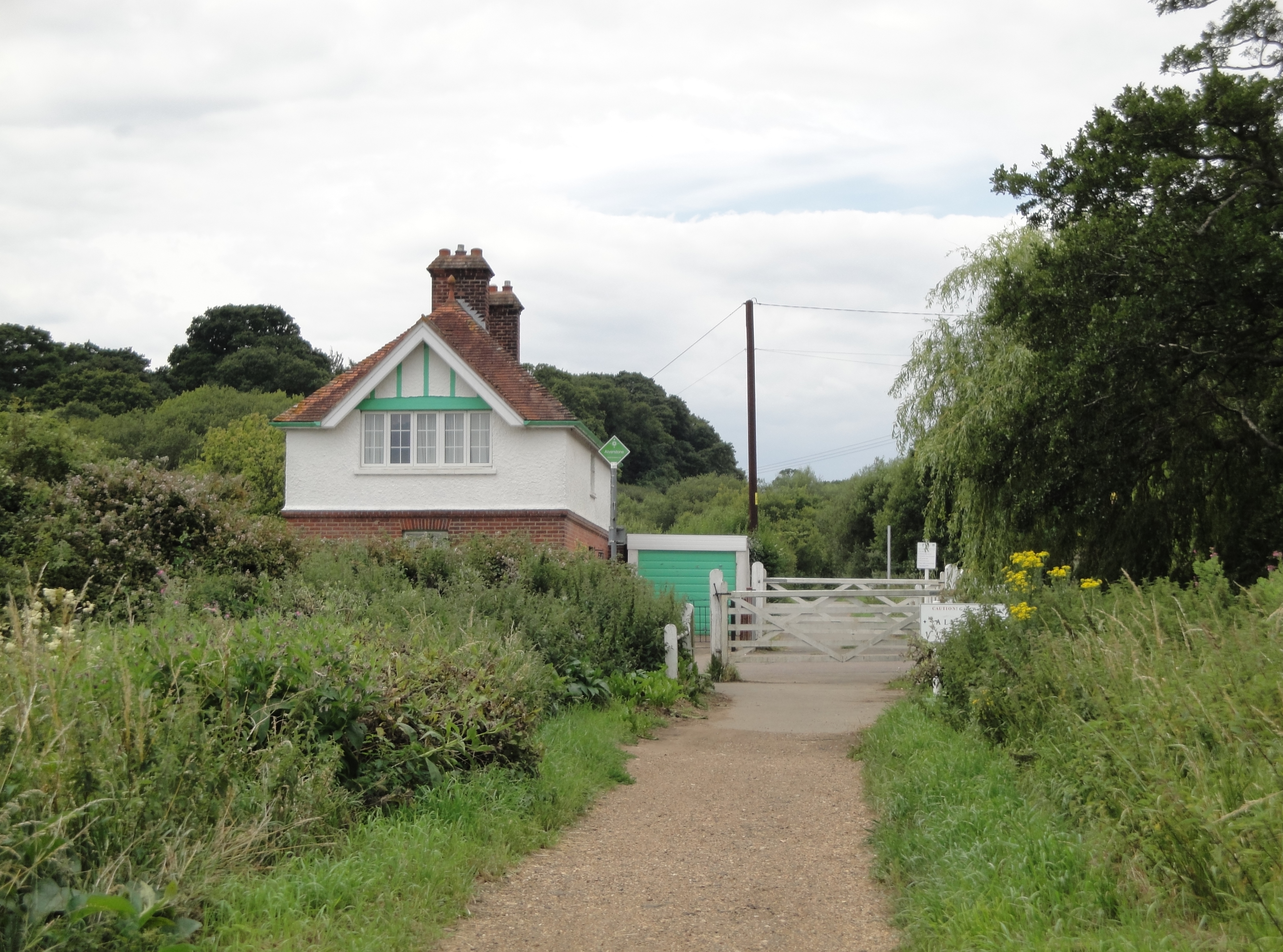
Alverstone railway station
Alverstone railway station, was an intermediate station situated on the edge of Alverstone village on the Isle of Wight, off the south coast of England...
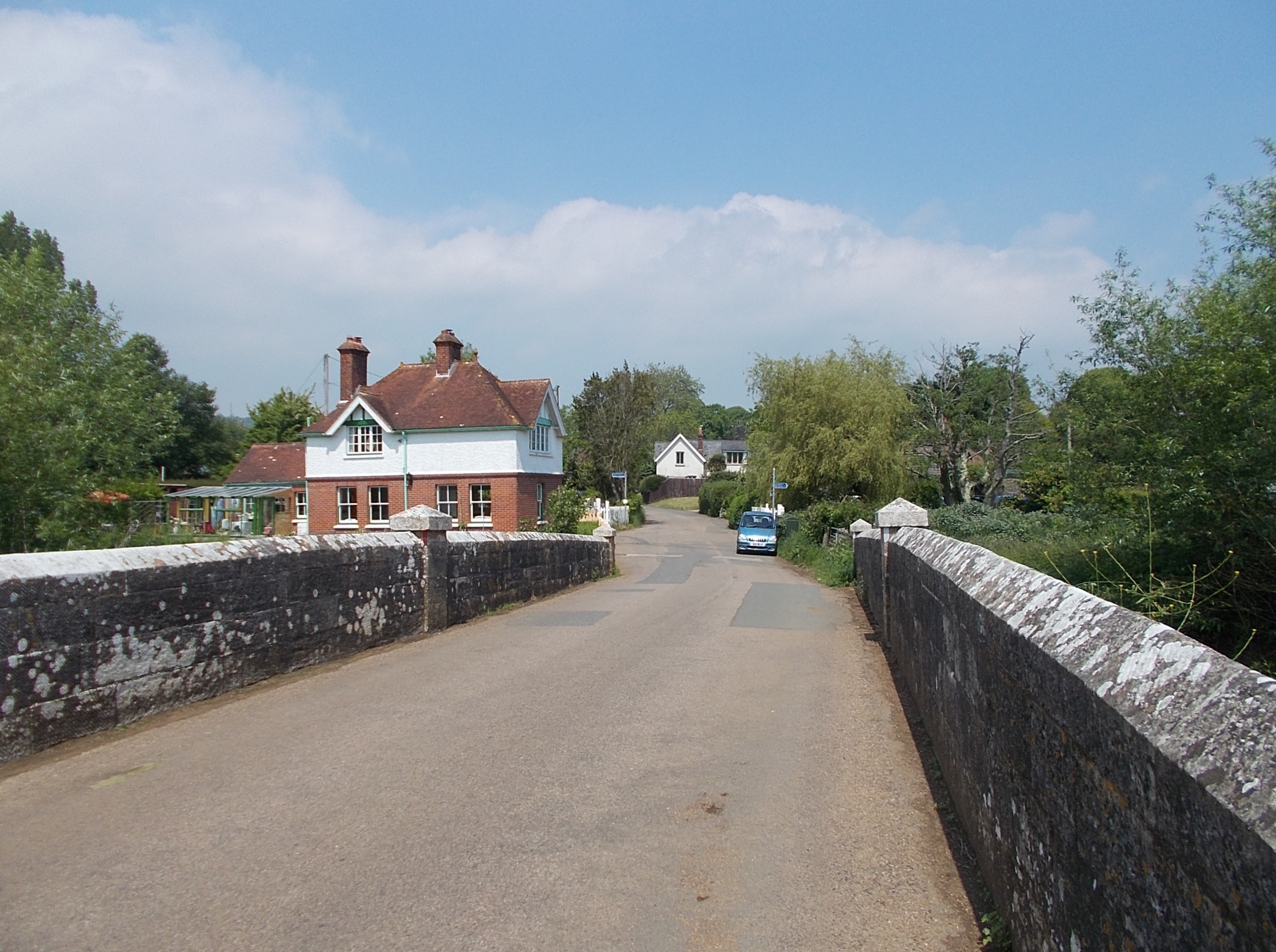
Alverstone
Alverstone is a village 2 miles from the east coast of the Isle of Wight, near Sandown. When Richard Webster became Chief Justice of England in 1900, he...
Eaglehead and Bloodstone Copses
Eaglehead and Bloodstone Copses is a 10.3-hectare (25-acre) Site of Special Scientific Interest which is south of Ashey on the Isle of Wight. The site...
Alverstone Mead
Alverstone Mead Local Nature Reserve is a lowland freshwater wetland nature reserve close to Sandown, Isle of Wight. it is a part of the Alverstone Marshes...
Alverstone Garden Village
Alverstone Garden Village is a housing estate built between the 1930s and the 1970s; entirely contained within Youngwoods Copse, and thus almost invisible...

Newchurch railway station
Newchurch railway station, was an intermediate station situated on the edge of Newchurch village on the line from Newport to Sandown incorporated by the...
Nearby Amenities
Located within 500m of 50.677026,-1.1856501Have you been to Backerwoods Copse?
Leave your review of Backerwoods Copse below (or comments, questions and feedback).