Stonefield Shaw
Wood, Forest in Berkshire
England
Stonefield Shaw
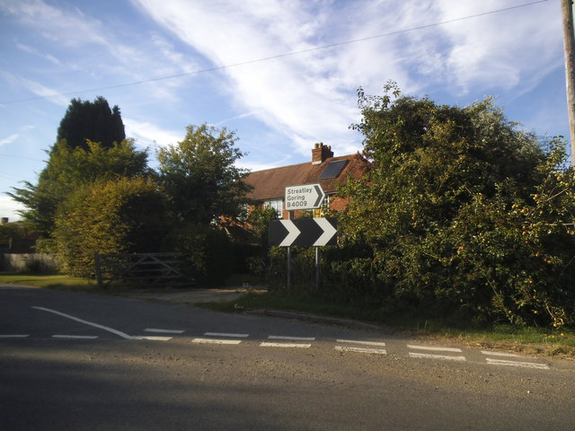
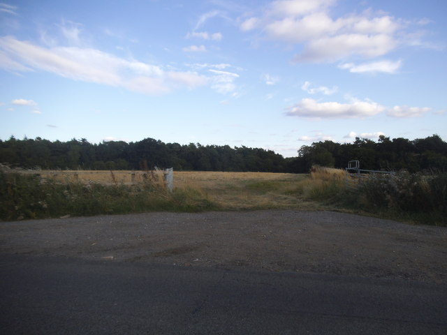
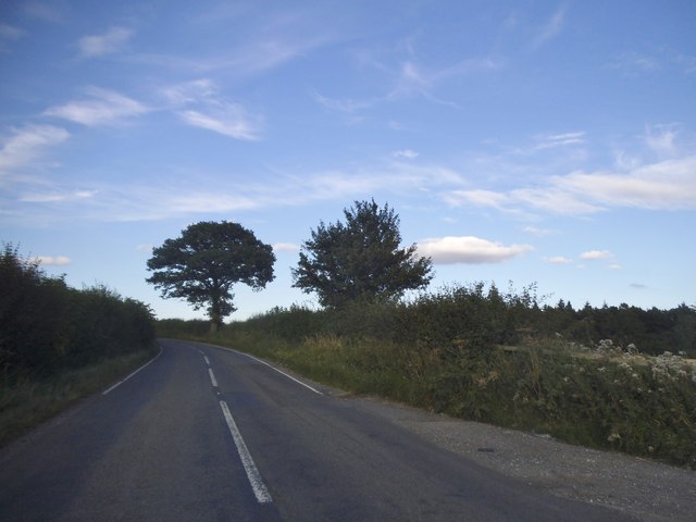
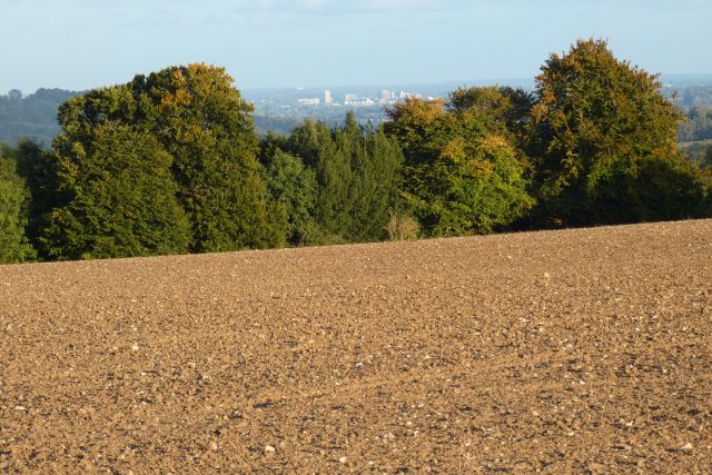
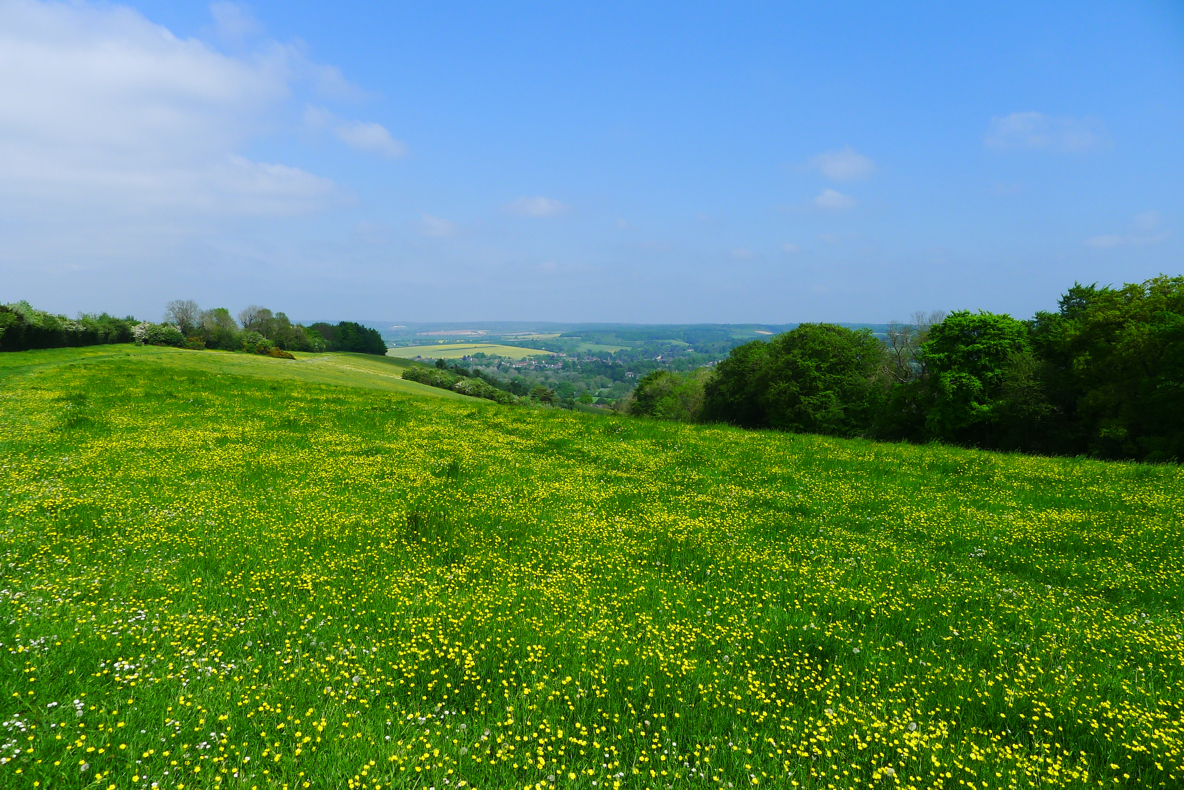
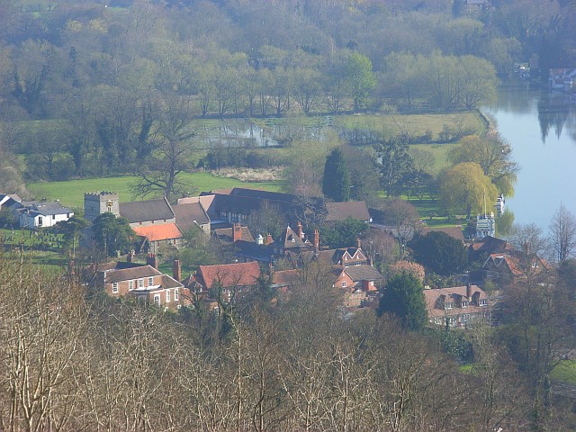
Stonefield Shaw is a picturesque woodland area situated in Berkshire, England. Known for its natural beauty and tranquil atmosphere, it is a popular destination for nature enthusiasts and outdoor adventurers alike.
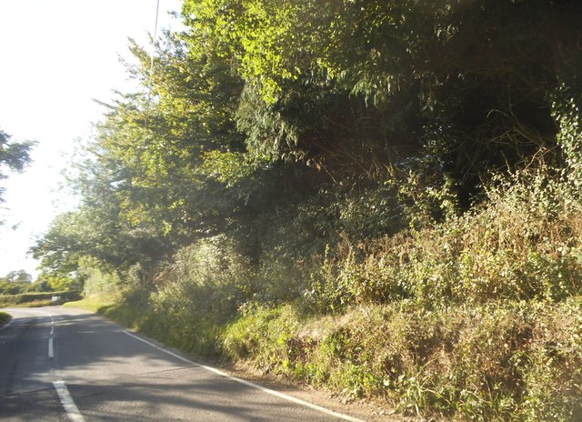
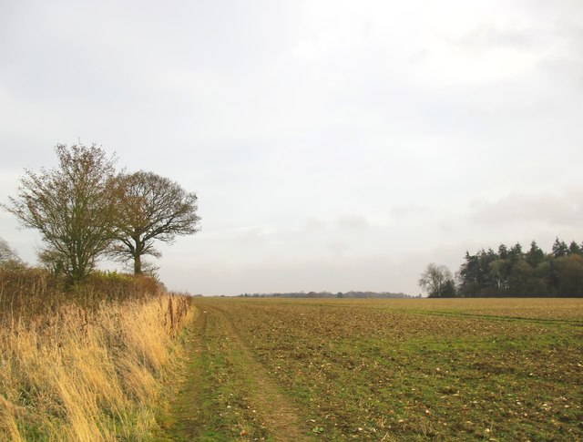
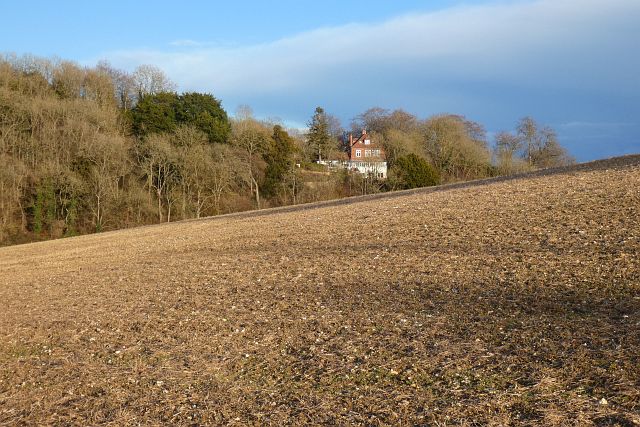
Covering a vast area of approximately 50 acres, Stonefield Shaw is characterized by its dense forest and diverse wildlife. The woodland is primarily composed of mature oak and beech trees, creating a lush canopy that provides shade and shelter for various flora and fauna.
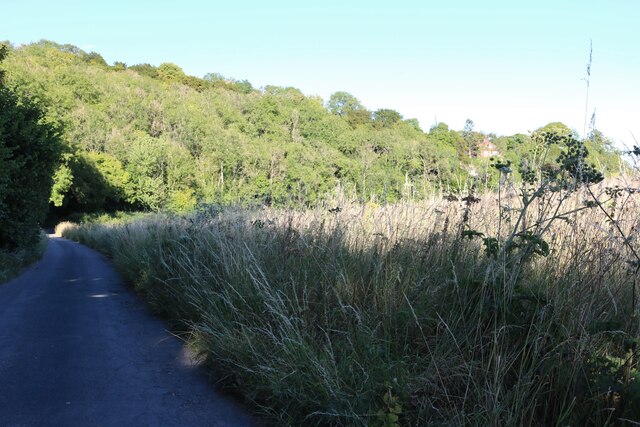
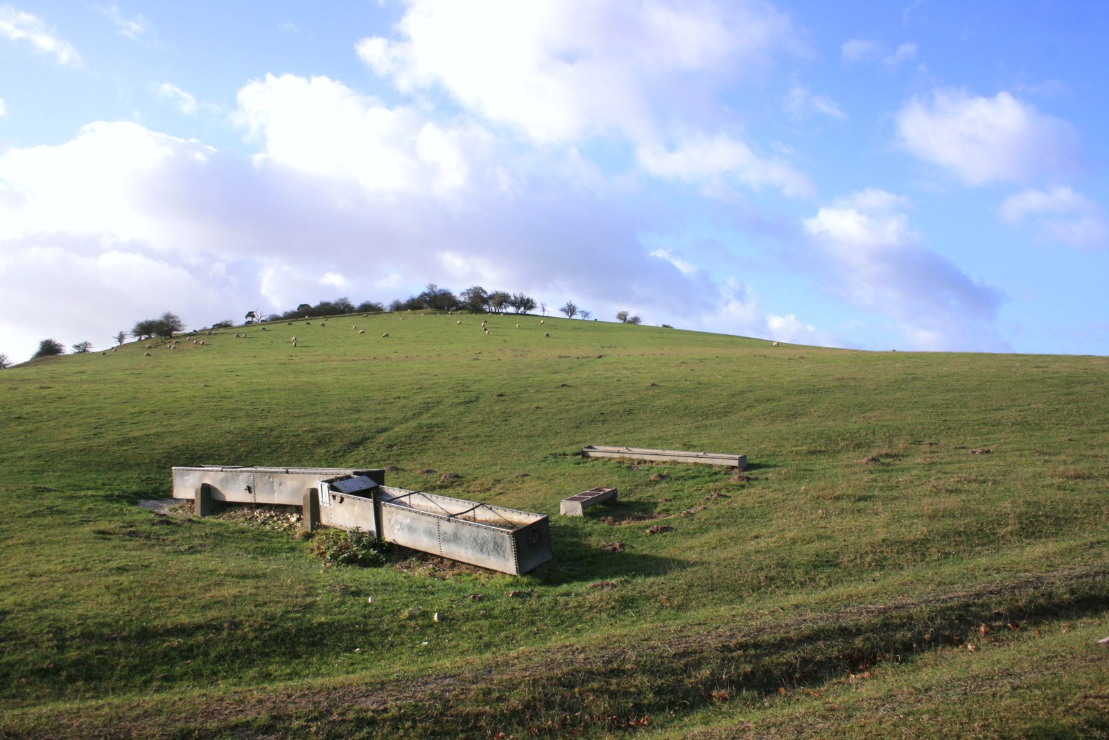
Visitors to Stonefield Shaw can enjoy a range of activities such as hiking, birdwatching, and nature photography. The area is crisscrossed with well-maintained trails that offer stunning views of the surrounding landscape. From the forest floor, one can spot a variety of woodland creatures including deer, foxes, and various species of birds.
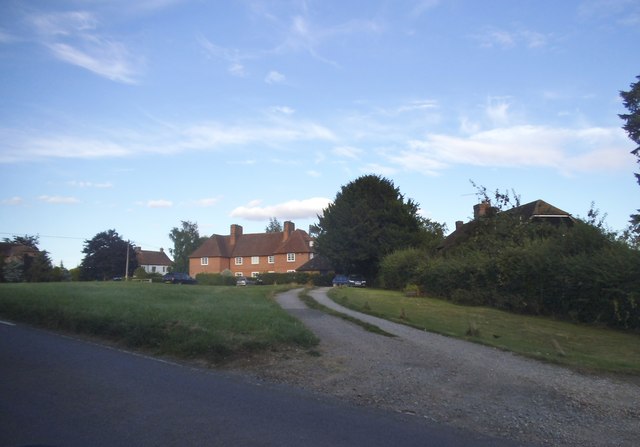
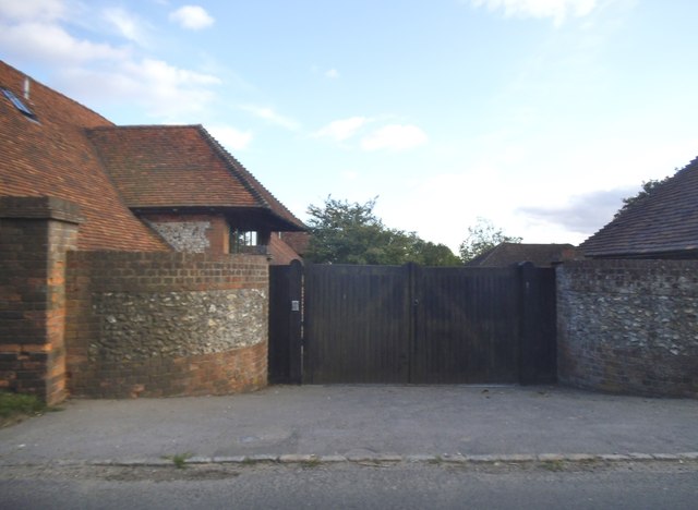
In addition to its natural beauty, Stonefield Shaw also holds historical significance. The woodland was once part of the estate belonging to the Shaw family, who were prominent landowners in the area. Today, remnants of the family's presence can still be found, including an old stone wall and a small, well-preserved stone cottage.
Stonefield Shaw is easily accessible, with ample parking and well-marked entrances. It provides a peaceful escape from the bustling city life, allowing visitors to reconnect with nature and experience the serenity of the woodlands. Whether it's a leisurely stroll, a picnic amidst the trees, or simply a moment of reflection, Stonefield Shaw offers an idyllic setting for all who seek solace in nature.
If you have any feedback on the listing, please let us know in the comments section below.
Stonefield Shaw Images
Images are sourced within 2km of 51.521997/-1.1707453 or Grid Reference SU5780. Thanks to Geograph Open Source API. All images are credited.


Stonefield Shaw is located at Grid Ref: SU5780 (Lat: 51.521997, Lng: -1.1707453)
Unitary Authority: West Berkshire
Police Authority: Thames Valley
What 3 Words
///described.success.name. Near Goring, Oxfordshire
Nearby Locations
Related Wikis

Goring & Streatley Golf Club
Goring & Streatley Golf Club is a golf course in the village of Streatley, in the English county of Berkshire. It takes its name partly from that village...

Lardon Chase, the Holies and Lough Down
Lardon Chase, the Holies and Lough Down is a National Trust countryside property in the English county of Berkshire. It is situated on the edge of the...

Genetic Studios
Genetic Studios (also known as Genetic Sound) was a recording studio in Streatley, England. == History == Genetic was established in 1980 by Martin Rushent...
Lardon Chase
Lardon Chase is a 14.9-hectare (37-acre) biological Site of Special Scientific Interest in Streatley in Berkshire. It is in the North Wessex Downs, which...
Streatley, Berkshire
Streatley is a village and civil parish on the River Thames in Berkshire, England. The village faces Goring-on-Thames. The two places share in their shops...

Holies Down
Holies Down is a 5.6-hectare (14-acre) biological Site of Special Scientific Interest south of Streatley in Berkshire. It is in the North Wessex Downs...
Moulsford Downs
Moulsford Downs is a 13.6-hectare (34-acre) biological Site of Special Scientific Interest north-west of Goring-on-Thames in Oxfordshire.This chalk grassland...

Goring and Streatley Bridge
Goring and Streatley Bridge is a road bridge across the River Thames in England. The bridge links the twin villages of Goring-on-Thames, Oxfordshire, and...
Nearby Amenities
Located within 500m of 51.521997,-1.1707453Have you been to Stonefield Shaw?
Leave your review of Stonefield Shaw below (or comments, questions and feedback).