Air Bank Wood

Wood, Forest in Yorkshire Ryedale

England

Air Bank Wood

Ionic Temple The Ionic Temple at Rievaulx Terrace.
Ionic Temple Credit: T Eyre

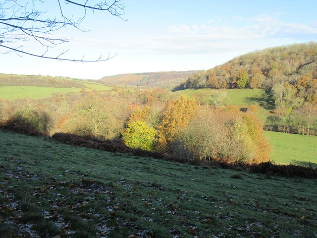
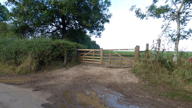
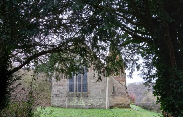
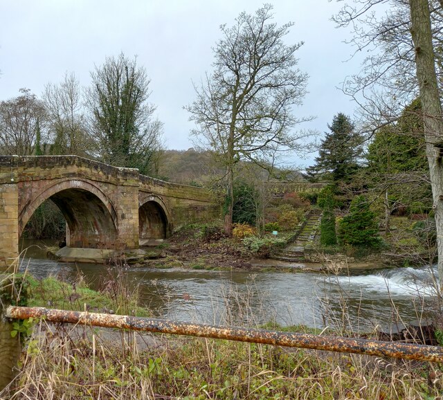
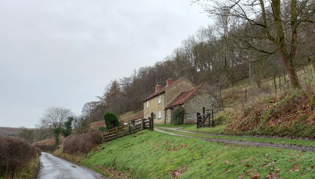
Air Bank Wood is a beautiful forest located in Yorkshire, England. Covering an area of approximately 200 acres, it is a popular destination for nature lovers and outdoor enthusiasts.

The wood is characterized by its diverse and abundant flora and fauna. It is home to a variety of tree species, including oak, beech, birch, and pine. These trees create a dense canopy, providing shade and shelter for a wide range of woodland creatures. The forest floor is covered in a lush carpet of ferns, mosses, and wildflowers, adding to the enchanting atmosphere of the wood.

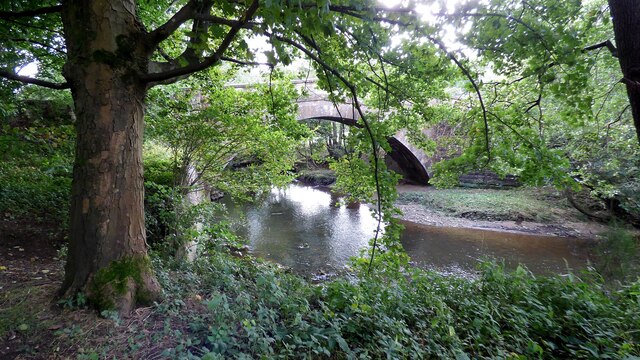
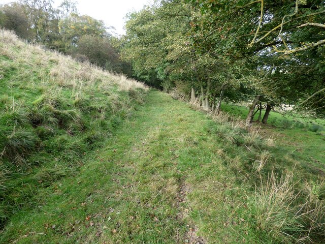
Visitors to Air Bank Wood can explore a network of well-maintained trails that meander through the forest. These paths offer stunning views of the surrounding countryside and provide opportunities for birdwatching and wildlife spotting. The wood is known to be a habitat for many bird species, such as woodpeckers, owls, and warblers.

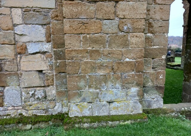
In addition to its natural beauty, Air Bank Wood has historical significance. It is believed that the wood was once part of a larger ancient woodland that covered much of the area. Remnants of old boundary walls and ditches can still be seen, reminding visitors of the wood's rich heritage.

The wood is accessible to the public throughout the year, and there are designated picnic areas and benches for visitors to relax and enjoy the tranquil surroundings. Whether it's for a leisurely stroll, a family outing, or a peaceful retreat into nature, Air Bank Wood offers a delightful experience for all who venture into its leafy embrace.

If you have any feedback on the listing, please let us know in the comments section below.

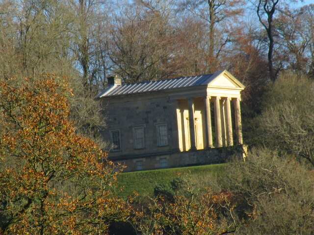
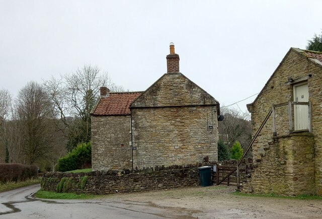
Air Bank Wood Images

Images are sourced within 2km of 54.260934/-1.1184495 or Grid Reference SE5785. Thanks to Geograph Open Source API. All images are credited.

Ionic Temple The Ionic Temple at Rievaulx Terrace.
Ionic Temple
The Ionic Temple at Rievaulx Terrace.
Far Hag Wood Looking NE across Ryedale.
Far Hag Wood
Looking NE across Ryedale.
Bow Bridge Late 18th or early 19th century bridge. <span class="nowrap"><a title="https://historicengland.org.uk/listing/the-list/list-entry/1149190" rel="nofollow ugc noopener" href="https://historicengland.org.uk/listing/the-list/list-entry/1149190">Link</a><img style="margin-left:2px;" alt="External link" title="External link - shift click to open in new window" src="https://s1.geograph.org.uk/img/external.png" width="10" height="10"/></span>
Bow Bridge
Late 18th or early 19th century bridge. LinkExternal link
Old track leading from Tylas farm to Birk Bank
Footpath leading north from Clavery Ley lane
Rievaulx, old chapel The benchmark is cut into a right hand cornerstone adjacent to a wooden post. The building looks as if it may have been a chapel previously.
Rievaulx, old chapel
The benchmark is cut into a right hand cornerstone adjacent to a wooden post. The building looks as if it may have been a chapel previously.
Rievaulx, old chapel There is a benchmark cut into a right hand cornerstone adjacent to a wooden post. The building looks as if it may have been a chapel previously.
Rievaulx, old chapel
There is a benchmark cut into a right hand cornerstone adjacent to a wooden post. The building looks as if it may have been a chapel previously.
Rievaulx, St Mary's church The benchmark is cut into a right hand cornerstone of the wall at the rear of the church.
Rievaulx, St Mary's church
The benchmark is cut into a right hand cornerstone of the wall at the rear of the church.
Rievaulx, St Mary's church There is a benchmark cut into a right hand cornerstone of the wall at the rear of the church.
Rievaulx, St Mary's church
There is a benchmark cut into a right hand cornerstone of the wall at the rear of the church.
Rievaulx, Rye House There is a benchmark cut into a right cornerstone of the farmhouse. The picture shows a very clear horizontal cut line about 3 stone blocks up from ground level.
Rievaulx, Rye House
There is a benchmark cut into a right cornerstone of the farmhouse. The picture shows a very clear horizontal cut line about 3 stone blocks up from ground level.
Rievaulx, Rye House There is a benchmark cut into a right cornerstone of the gable end of the farmhouse. The cut mark is about 3 stone blocks up from ground level. Rievaulx Abbey can be seen in the background.
Rievaulx, Rye House
There is a benchmark cut into a right cornerstone of the gable end of the farmhouse. The cut mark is about 3 stone blocks up from ground level. Rievaulx Abbey can be seen in the background.
Rievaulx bridge The surveyors' bolt mark is on the north-east parapet of Rievaulx bridge, and is cut into the 2nd course of stone and at the apex of the bridge.
Rievaulx bridge
The surveyors' bolt mark is on the north-east parapet of Rievaulx bridge, and is cut into the 2nd course of stone and at the apex of the bridge.
Rievaulx bridge There is a surveyors' bolt mark on the north-east parapet of Rievaulx bridge, and is cut into the 2nd course of stone and at the centre of the bridge. This is the River Rye.
Rievaulx bridge
There is a surveyors' bolt mark on the north-east parapet of Rievaulx bridge, and is cut into the 2nd course of stone and at the centre of the bridge. This is the River Rye.
Rievaulx, Cross Green The benchmark is cut into a right hand cornerstone, to the right of the drainpipe.
Rievaulx, Cross Green
The benchmark is cut into a right hand cornerstone, to the right of the drainpipe.
Rievaulx, Cross Green There is a benchmark cut into a right hand cornerstone, on the front of the farmhouse and on the road facing wall.
Rievaulx, Cross Green
There is a benchmark cut into a right hand cornerstone, on the front of the farmhouse and on the road facing wall.
Rievaulx, Hagg Hall The benchmark is cut into the window sill of the property.
Rievaulx, Hagg Hall
The benchmark is cut into the window sill of the property.
Rievaulx, Hagg Hall There is a benchmark cut into the window sill of the property.
Rievaulx, Hagg Hall
There is a benchmark cut into the window sill of the property.
Rievaulx Abbey The benchmark is cut into the back wall of the ruined abbey.
Rievaulx Abbey
The benchmark is cut into the back wall of the ruined abbey.
Show me another place!

Air Bank Wood is located at Grid Ref: SE5785 (Lat: 54.260934, Lng: -1.1184495)

Division: North Riding

Administrative County: North Yorkshire

District: Ryedale

Police Authority: North Yorkshire

What 3 Words

///noise.workloads.tries. Near Helmsley, North Yorkshire

Related Wikis

Swiss Cottage, Rievaulx

Swiss Cottage is a Grade II listed building in the English village of Rievaulx, North Yorkshire. It dates to at least the 17th century, with earlier origins...

Rievaulx

Rievaulx (usually pronounced REE-voh) is a small village and civil parish in Rye Dale within the North York Moors National Park near Helmsley in North...

Rievaulx Abbey

Rievaulx Abbey ( ree-VOH) was a Cistercian abbey in Rievaulx, near Helmsley, in the North York Moors National Park, North Yorkshire, England. It was one...

Rievaulx Terrace

Rievaulx Terrace is a site located in the North York Moors National Park, in North Yorkshire, England, overlooking Rievaulx Abbey and owned by the National...

Old Byland and Scawton

Old Byland and Scawton is a civil parish in the Ryedale district, in the county of North Yorkshire, England. The parish includes the villages of Old Byland...

Ryedale Windypits

The Ryedale Windypits are archaeologically significant natural underground features within the North York Moors National Park. This series of fissures...

Scawton

Scawton is a village and former civil parish in North Yorkshire, England. The hamlet lies just east of Sutton Bank, north of the A170 road, and 5 miles...

Duncombe Park

Duncombe Park is the seat of the Duncombe family who previously held the Earldom of Feversham. The title became extinct on the death of the 3rd Earl in...

Nearby Amenities

Located within 500m of 54.260934,-1.1184495
Rievaulx
Is In: UK,Yorkshire,North Yorkshire
Is In Country: UK
Is In County: North Yorkshire
Is In Historical County: Yorkshire
Place: village
Source: npe
Wikidata: Q3935291
Wikipedia: en:Rievaulx
Lat/Long: 54.2586584/-1.1166881
Cafe
Lat/Long: 54.256685/-1.1184724
Entrance: yes
Lat/Long: 54.256615/-1.1184923
Entrance: yes
Lat/Long: 54.2565994/-1.1186029
Entrance: yes
Lat/Long: 54.2567151/-1.1162056
Telephone
Booth: K6
Covered: booth
Lat/Long: 54.258255/-1.1173257
Post Box
Collection Times: Mo-Fr 16:30; Sa 10:15
Operator: Royal Mail
Operator Wikidata: Q638098
Post Box Mounting: wooden_post
Post Box Type: lamp
Ref: YO62 356
Royal Cypher: EIIR
Royal Cypher Wikidata: Q33102113
Lat/Long: 54.2582531/-1.1173366
Harriet Air Farm
Place: farm
Lat/Long: 54.2622363/-1.1197081
Bench
Lat/Long: 54.2584283/-1.1176004
Entrance: yes
Lat/Long: 54.2588314/-1.1165244
Information: guidepost
Tourism: information
Lat/Long: 54.2620329/-1.1250197
Direction North: Row Bridge
Guide Type: destination
Guidepost Type: PROW
Information: guidepost
Tourism: information
Lat/Long: 54.2582113/-1.118511
Barrier: stile
Step Count: 2
Stile: stepover
Lat/Long: 54.2626495/-1.112261
Barrier: stile
Step Count: 2
Stile: stepover
Lat/Long: 54.2597427/-1.1139933
Barrier: stile
Step Count: 1
Stile: stepover
Lat/Long: 54.2625296/-1.1122569
Bus Stop
Rievaulx Abbey
Bus: yes
Departures Board: no
Physically Present: no
Public Transport: platform
Shelter: no
Source: survey
Lat/Long: 54.256694/-1.1193036
Clock
Display: analog
Lat/Long: 54.2592505/-1.1156406
The data included in this document is from www.openstreetmap.org. The data is made available under ODbL.

Have you been to Air Bank Wood?

Leave your review of Air Bank Wood below (or comments, questions and feedback).