East Bank Plantation
Wood, Forest in Yorkshire Hambleton
England
East Bank Plantation

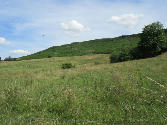
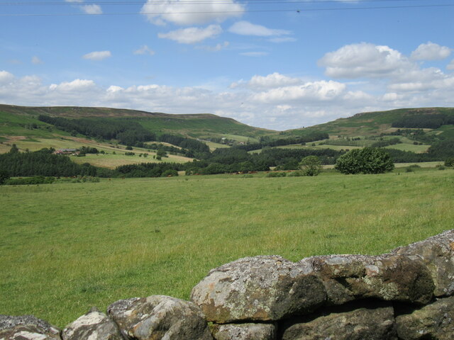
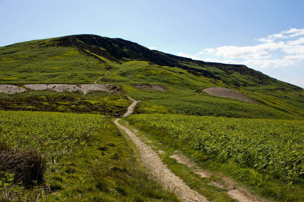
East Bank Plantation is a charming woodland retreat nestled in the heart of Yorkshire, England. This picturesque estate is renowned for its breathtaking natural beauty and diverse ecosystem. Spread over a sprawling area, it encompasses lush woodlands, flourishing forests, and serene riverbanks.
The plantation boasts an impressive variety of tree species, including oak, beech, and ash, which create a captivating canopy of greenery. The forest floor is adorned with an array of wildflowers, providing a vibrant burst of colors throughout the year. The enchanting woodland is home to a plethora of wildlife, such as deer, foxes, and a multitude of bird species, making it an idyllic spot for nature lovers and birdwatchers.
Tranquil walking trails meander through the plantation, inviting visitors to explore its hidden corners and soak in the tranquil ambiance. The paths wind alongside the meandering river, offering visitors the opportunity to enjoy the soothing sounds of flowing water and perhaps catch a glimpse of the elusive otters that call this place home.
East Bank Plantation is also steeped in history, with remnants of ancient settlements and historical landmarks scattered throughout the estate. Ruins of a medieval abbey can be found, adding an extra layer of intrigue to this already captivating location.
Whether one seeks solitude amidst nature, a leisurely stroll through the woods, or a chance to immerse themselves in history, East Bank Plantation offers an unforgettable experience in the heart of Yorkshire's woodlands.
If you have any feedback on the listing, please let us know in the comments section below.
East Bank Plantation Images
Images are sourced within 2km of 54.394553/-1.1174825 or Grid Reference NZ5700. Thanks to Geograph Open Source API. All images are credited.


East Bank Plantation is located at Grid Ref: NZ5700 (Lat: 54.394553, Lng: -1.1174825)
Division: North Riding
Administrative County: North Yorkshire
District: Hambleton
Police Authority: North Yorkshire
What 3 Words
///dormant.length.viewer. Near Bilsdale, North Yorkshire
Nearby Locations
Related Wikis

Bilsdale Midcable
Bilsdale Midcable is a civil parish in North Yorkshire, England, which occupies the northern part of Bilsdale in the North York Moors National Park. According...

Chop Gate
Chop Gate ( CHOP YAT) is a small village in the Hambleton district of North Yorkshire, England. The village lies within the North York Moors National Park...

Urra Moor
Urra Moor is the highest moor in the North York Moors, North Yorkshire, England. At 1,490 feet (454 m) above sea level it is the highest point in Hambleton...
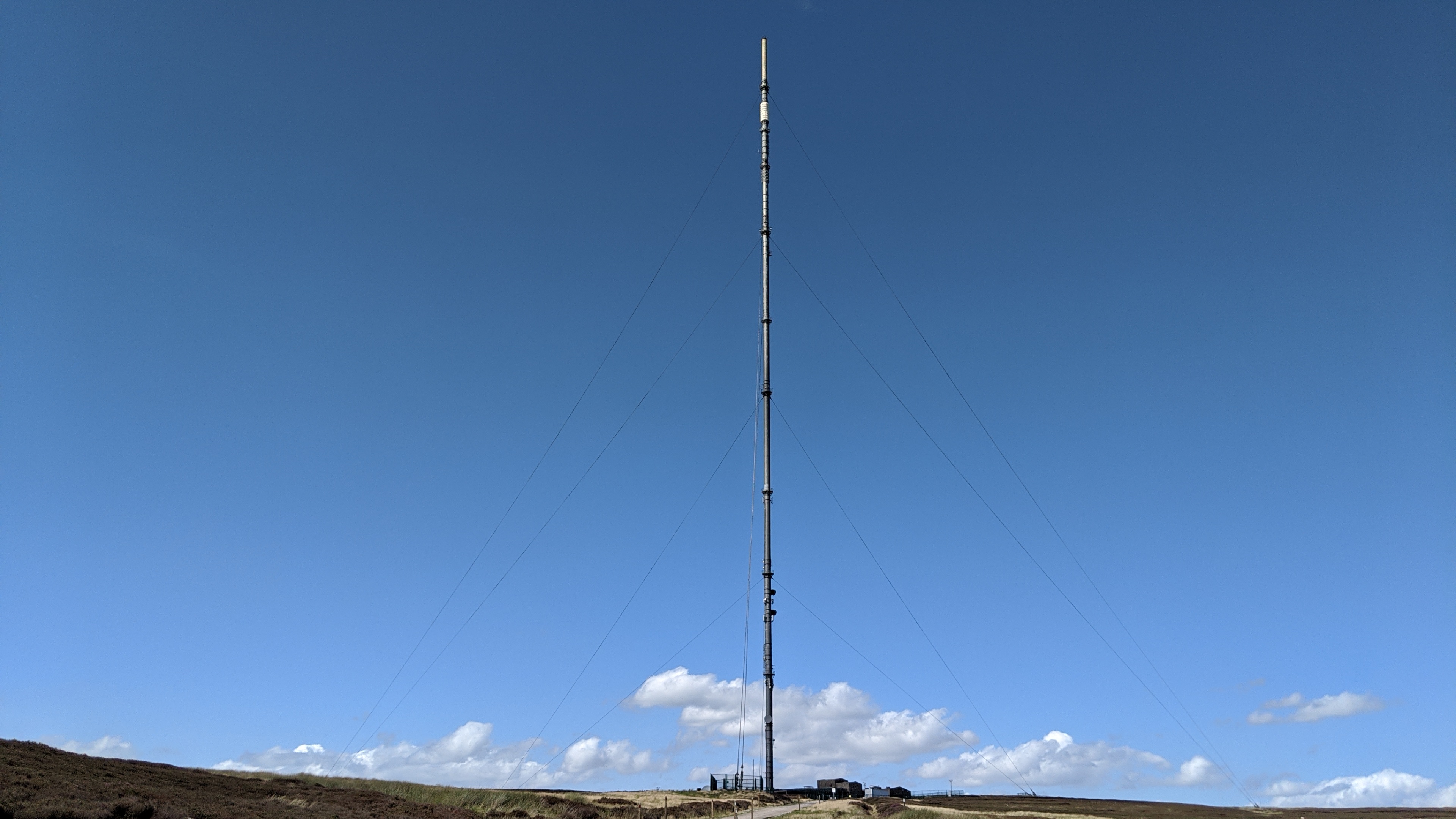
Bilsdale transmitting station
The Bilsdale transmitting station is a broadcasting and telecommunications facility, located at Bilsdale West Moor above Bilsdale, close to Helmsley, North...
Cringle Moor
Cringle Moor (also known as Cranimoor), at 432 m (1,417 ft), is the third-highest hill in the North York Moors, England, and the highest point west of...

Cockayne, North Yorkshire
Cockayne is an isolated hamlet in North Yorkshire, England. It is the largest settlement in the civil parish of Bransdale, in the North York Moors national...

Bransdale
Bransdale is a valley running south through North Yorkshire, England, and part of the North York Moors National Park. Sandwiched between Bilsdale to the...

Cleveland Hills
The Cleveland Hills are a range of hills on the north-west edge of the North York Moors in North Yorkshire, England, overlooking Cleveland and Teesside...
Nearby Amenities
Located within 500m of 54.394553,-1.1174825Have you been to East Bank Plantation?
Leave your review of East Bank Plantation below (or comments, questions and feedback).