Low Acaster Plantation
Wood, Forest in Yorkshire Selby
England
Low Acaster Plantation

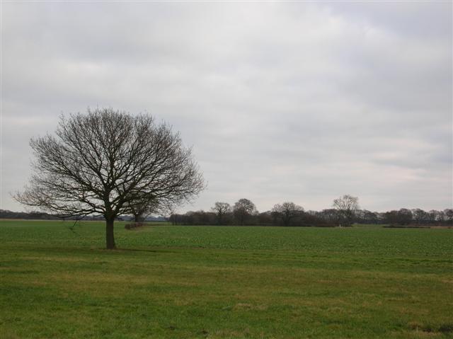
Low Acaster Plantation is a picturesque woodland located in Yorkshire, England. Situated near the village of Acaster Malbis, it covers an area of approximately 100 hectares. The plantation is known for its diverse range of tree species, creating a beautiful and tranquil forest environment.
The woodland is home to a variety of both native and non-native tree species, including oak, beech, birch, and pine. The mixture of deciduous and coniferous trees provides a rich tapestry of colors throughout the year, with vibrant greens in the spring and summer, and stunning reds, oranges, and yellows in the autumn.
Low Acaster Plantation offers a haven for wildlife. The dense canopy and undergrowth provide shelter and nesting sites for numerous bird species, including woodpeckers, owls, and warblers. The forest floor is dotted with wildflowers, attracting butterflies and insects. It is not uncommon to spot deer, rabbits, and squirrels darting through the trees.
The woodland is crisscrossed with a network of footpaths, making it a popular destination for walkers, joggers, and nature enthusiasts. These paths offer visitors the opportunity to explore the plantation and enjoy the tranquility of the surrounding nature.
Accessible from the nearby village, Low Acaster Plantation provides a peaceful escape from the hustle and bustle of modern life. Whether it's a leisurely stroll, birdwatching, or simply taking in the natural beauty, this woodland offers a delightful experience for outdoor enthusiasts.
If you have any feedback on the listing, please let us know in the comments section below.
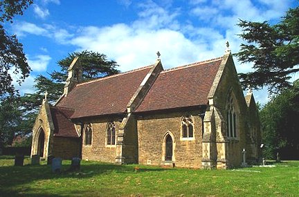
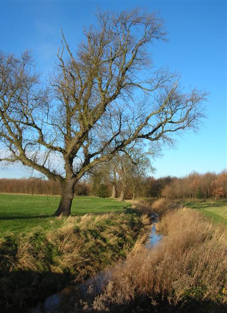
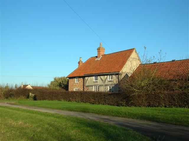
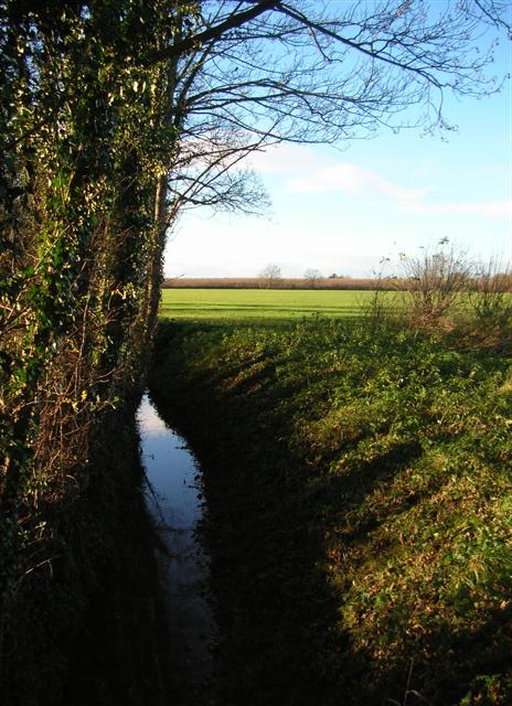
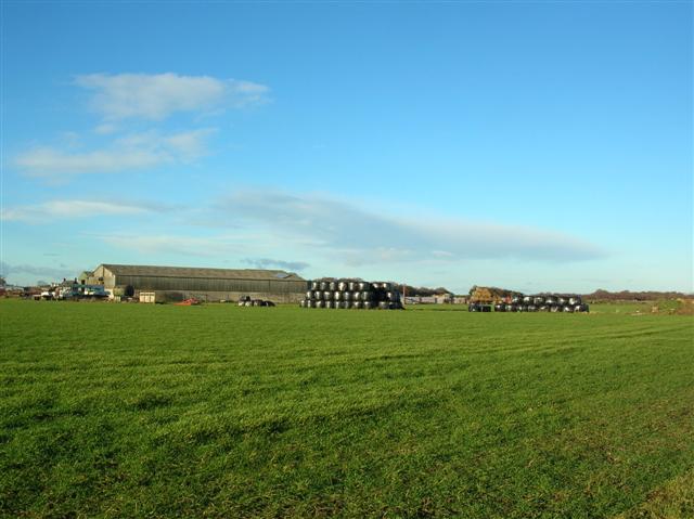
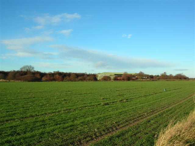
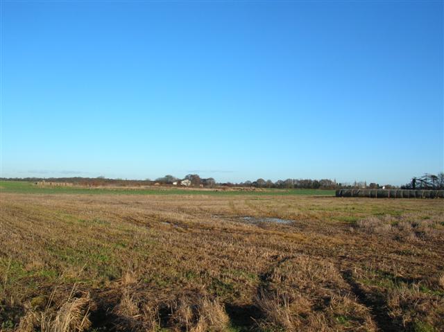
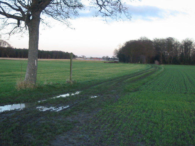
Low Acaster Plantation Images
Images are sourced within 2km of 53.868721/-1.1296046 or Grid Reference SE5741. Thanks to Geograph Open Source API. All images are credited.


Low Acaster Plantation is located at Grid Ref: SE5741 (Lat: 53.868721, Lng: -1.1296046)
Division: West Riding
Administrative County: North Yorkshire
District: Selby
Police Authority: North Yorkshire
What 3 Words
///bought.stopwatch.pits. Near Cawood, North Yorkshire
Nearby Locations
Related Wikis

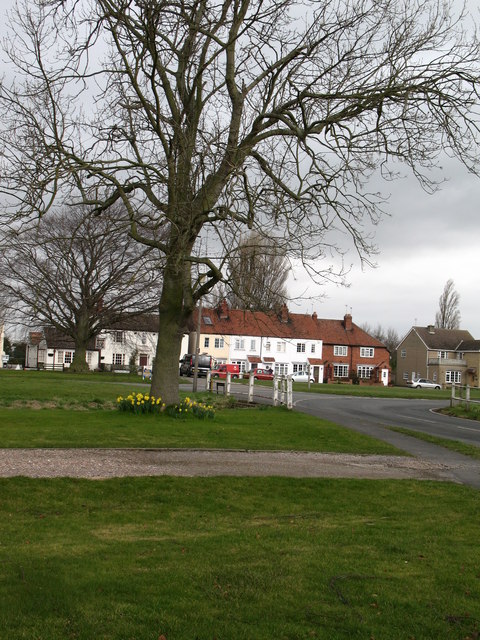
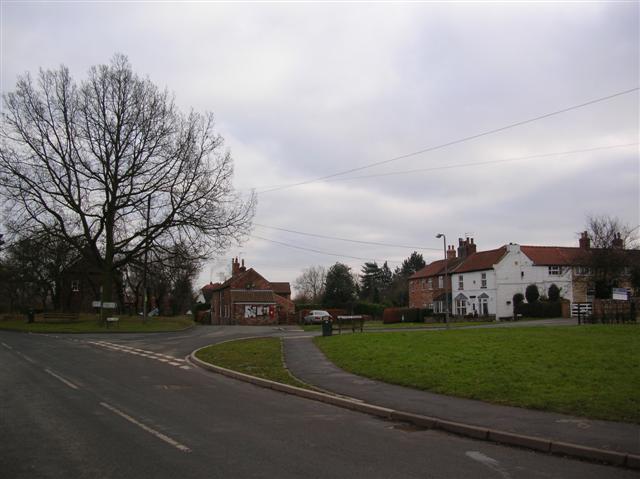
Acaster Selby
Acaster Selby is a village in the former Selby District of North Yorkshire, England. It is part of the joint civil parish with Appleton Roebuck (where...

Bishopthorpe Rural District
Bishopthorpe was a rural district in the West Riding of Yorkshire from 1894 to 1937. It was formed under the Local Government Act 1894 from that part of...
RAF Acaster Malbis
Royal Air Force Acaster Malbis, or more simply RAF Acaster Malbis, is a former Royal Air Force station located 5.9 miles (9.5 km) south of York city centre...
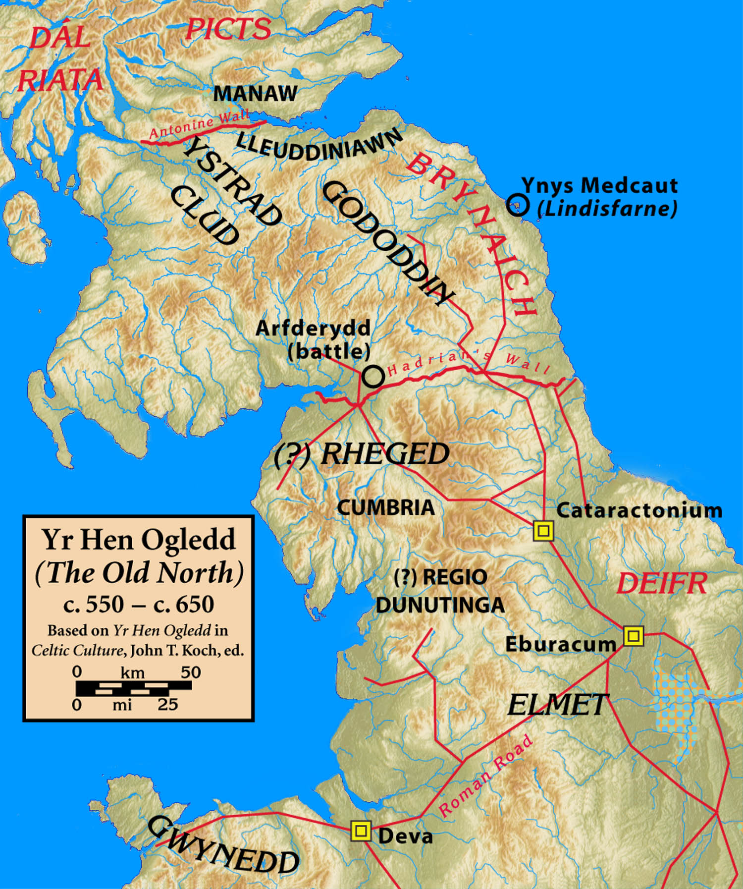
Elmet
Elmet (Welsh: Elfed), sometimes Elmed or Elmete, was an independent Brittonic Celtic Cumbric speaking kingdom between about the 4th century and mid 7th...

West Riding of Yorkshire
The West Riding of Yorkshire was one of three historic subdivisions of Yorkshire, England. From 1889 to 1974 the riding was an administrative county named...
Appleton Roebuck
Appleton Roebuck is a village and civil parish in the former Selby District of North Yorkshire, England. It had a population of 692 according to the 2001...
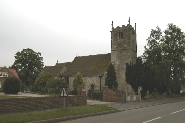
St Helen's Church, Stillingfleet
St Helen's Church is the parish church of Stillingfleet, in North Yorkshire, in England. == History == The church was originally built in about 1145, from...
Stillingfleet
Stillingfleet is a village and civil parish in North Yorkshire, England. It was in the historic East Riding of Yorkshire, but since 1974 has come under...
Nearby Amenities
Located within 500m of 53.868721,-1.1296046Have you been to Low Acaster Plantation?
Leave your review of Low Acaster Plantation below (or comments, questions and feedback).