Hoggerell Copse

Wood, Forest in Hampshire Basingstoke and Deane

England

Hoggerell Copse

St  Stephen's near Baughurst This square is mostly farmland and also contains this church. This view taken from the only spot where one can get the whole building in the picture comfortably, is from the north east.
St Stephen's near Baughurst Credit: Pam Brophy

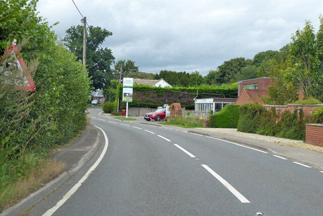
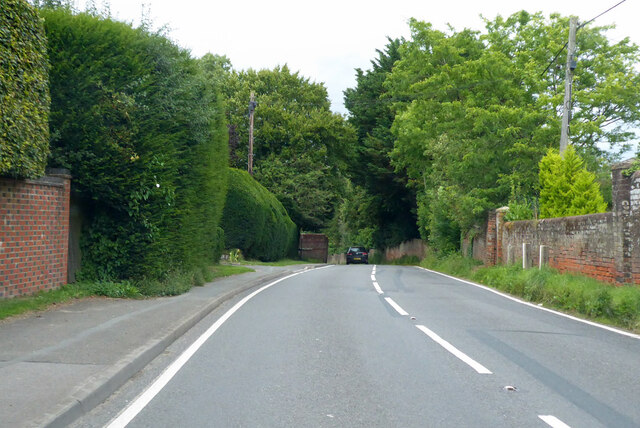
Hoggerell Copse, located in Hampshire, England, is a stunning woodland area that covers approximately 50 acres of land. Situated in the heart of the countryside, this ancient forest is known for its rich biodiversity and scenic beauty.

The copse is characterized by a dense canopy of towering trees, including oak, beech, and ash, which create a serene and peaceful atmosphere. The woodland floor is adorned with a variety of wildflowers, ferns, and mosses, adding a vibrant touch of color to the landscape.

Hoggerell Copse is home to a diverse range of wildlife species, making it a popular destination for nature enthusiasts and birdwatchers. Visitors may catch a glimpse of deer, rabbits, squirrels, and a wide array of bird species such as woodpeckers, owls, and thrushes. Additionally, the copse provides a habitat for numerous insects, including butterflies and beetles, contributing to the overall ecological balance of the area.

The forest offers a network of footpaths and trails, allowing visitors to explore and immerse themselves in its natural beauty. These paths wind through the woodland, revealing hidden glades and picturesque viewpoints. There are several picnic areas and benches scattered throughout the copse, providing opportunities for visitors to relax and appreciate the tranquility of the surroundings.

Hoggerell Copse is cherished by the local community and is actively managed to preserve its unique ecosystem. It serves as a valuable recreational space and an important sanctuary for wildlife, making it a cherished natural gem in Hampshire.

If you have any feedback on the listing, please let us know in the comments section below.

Hoggerell Copse Images

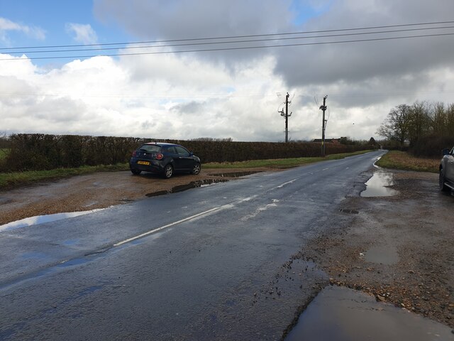
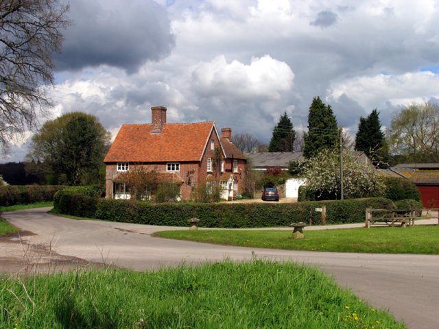
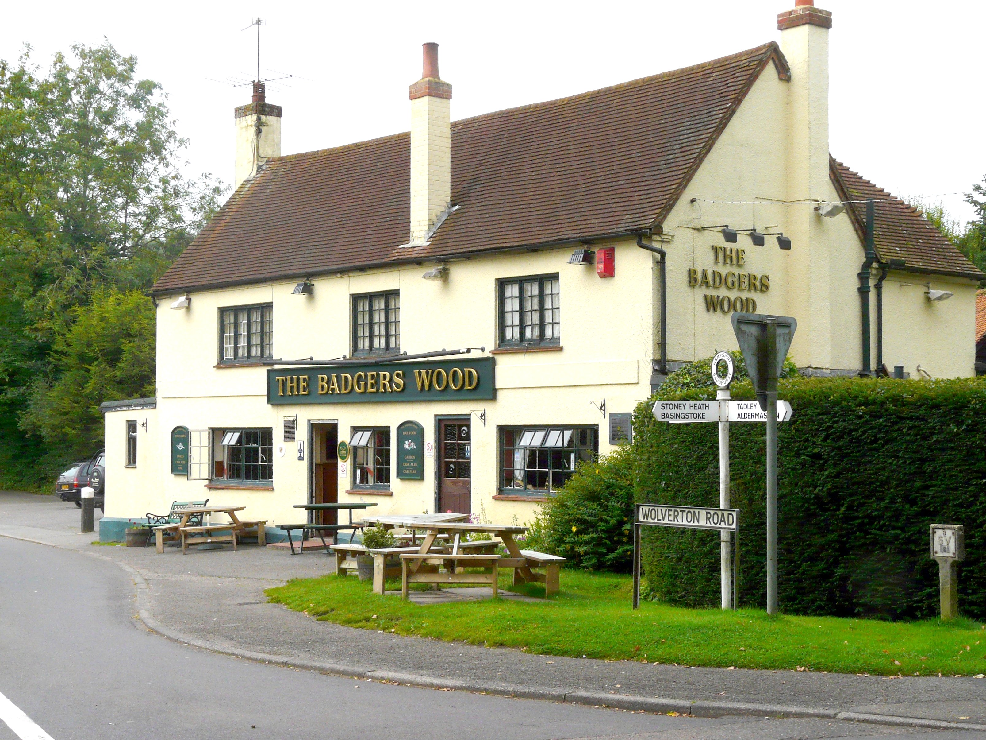
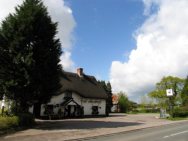
Images are sourced within 2km of 51.35181/-1.1784012 or Grid Reference SU5761. Thanks to Geograph Open Source API. All images are credited.

St  Stephen's near Baughurst This square is mostly farmland and also contains this church. This view taken from the only spot where one can get the whole building in the picture comfortably, is from the north east.
St Stephen's near Baughurst
This square is mostly farmland and also contains this church. This view taken from the only spot where one can get the whole building in the picture comfortably, is from the north east.
Farmland, Baughurst A couple of oaks stand in a field of barley beside the footpath that runs from east to west to the north of Baughurst House.
Farmland, Baughurst
A couple of oaks stand in a field of barley beside the footpath that runs from east to west to the north of Baughurst House.
St Stephen, Baughurst Grade 2* listed building erected in 1845 in the area known as Browninghill.
St Stephen, Baughurst
Grade 2* listed building erected in 1845 in the area known as Browninghill.
Church Lane Lane junction a short distance west of St Stephen's, Baughurst.
Church Lane
Lane junction a short distance west of St Stephen's, Baughurst.
B3051, Ashford Hill From Kingsclere towards Aldermaston. The sign on the left is intended to warn of a skid hazard, but not doing a very good job of it.
B3051, Ashford Hill
From Kingsclere towards Aldermaston. The sign on the left is intended to warn of a skid hazard, but not doing a very good job of it.
B3051, Ashford Hill From Kingsclere towards Aldermaston.
B3051, Ashford Hill
From Kingsclere towards Aldermaston.
B3051 towards Aldermaston
J Brant Reclamation Ltd
B3051 - Brimpton Common
Violet Lane Looking along Violet Lane towards Wolverton Road.
Violet Lane
Looking along Violet Lane towards Wolverton Road.
Muddy lay-bys on Back Lane Some muddy lay-bys with big puddles on Back Lane. Surprisingly, both were in use!
Muddy lay-bys on Back Lane
Some muddy lay-bys with big puddles on Back Lane. Surprisingly, both were in use!
Byway off Back Lane The entrance to the byway off Back Lane, which runs to Brimpton Lane. It is very muddy! The sign appears to have been hit by a vehicle as it is pointing the wrong direction.
Byway off Back Lane
The entrance to the byway off Back Lane, which runs to Brimpton Lane. It is very muddy! The sign appears to have been hit by a vehicle as it is pointing the wrong direction.
Back Lane junction to Brimpton Lane The junction of Back Lane on Brimpton Lane, from the verge.
Back Lane junction to Brimpton Lane
The junction of Back Lane on Brimpton Lane, from the verge.
Brimpton Lane from Back Lane Looking over the junction of Back Lane to Brimpton Lane. A signpost directs to Woolhampton, Kingsmere, Brimpton and AWE.
Brimpton Lane from Back Lane
Looking over the junction of Back Lane to Brimpton Lane. A signpost directs to Woolhampton, Kingsmere, Brimpton and AWE.
Byway off Back Lane The byway off Back Lane, which runs to Brimpton Lane.
Byway off Back Lane
The byway off Back Lane, which runs to Brimpton Lane.
Bridleway off Violet Lane A bridleway leading west away from Violet Lane. There is a godcake on the junction to it on Violet Lane. The Well House and Meadow Cottage are accessed via the bridleway.
Bridleway off Violet Lane
A bridleway leading west away from Violet Lane. There is a godcake on the junction to it on Violet Lane. The Well House and Meadow Cottage are accessed via the bridleway.
Show me another place!

Hoggerell Copse is located at Grid Ref: SU5761 (Lat: 51.35181, Lng: -1.1784012)

Administrative County: Hampshire

District: Basingstoke and Deane

Police Authority: Hampshire

What 3 Words

///worry.clapper.visa. Near Tadley, Hampshire

Related Wikis

Inhurst

Inhurst is a hamlet in Hampshire, England. It is in the civil parish of Baughurst. == History == Inhurst House was established as a school in the 1960s...

The Hurst School

The Hurst School, previously The Hurst Community College, is a state secondary school in the village of Baughurst, within the county of Hampshire in England...

Heath End, Hampshire

Heath End is a small village between Tadley and Baughurst in Hampshire, England. == Governance == The village is part of the civil parish of Tadley and...

Baughurst

Baughurst is a village and civil parish in Hampshire, England. It is located west of the town of Tadley, 6 miles (9.7 km) north of Basingstoke. In the...

Ashford Hill Woods and Meadows

Ashford Hill Woods and Meadows is a 141.5-hectare (350-acre) biological Site of Special Scientific Interest near Ashford Hill in Hampshire. An area of...

Ashford Hill NNR

Ashford Hill is a British national nature reserve next to the village of Ashford Hill in Hampshire. Part of the reserve is a designated a Site of Special...

Brimpton Common

Brimpton Common is a hamlet in Berkshire, England. It is part of Brimpton Parish, and part of the Benefice of Aldermaston and Woolhampton in the Diocese...

Axmansford

Axmansford is a village in Hampshire, England. It is in the civil parish of Baughurst. == External links == Media related to Axmansford at Wikimedia Commons

Nearby Amenities

Located within 500m of 51.35181,-1.1784012
Grantham Farm
Landuse: farm
Note Retag: CS #48756035
Lat/Long: 51.3479028/-1.1763871
Parking
Access: private
Lat/Long: 51.3480666/-1.1764683
The data included in this document is from www.openstreetmap.org. The data is made available under ODbL.

Have you been to Hoggerell Copse?

Leave your review of Hoggerell Copse below (or comments, questions and feedback).